
Mapping the canyons, sandstone formations, and hydrological features of the Colorado Plateau
Named Natural Features and Geological Landscapes of Glen Canyon National Recreation Area
This geographic collection documents the diverse named natural features identified within and surrounding Glen Canyon National Recreation Area. From the expansive shoreline of Lake Powell to remote slot canyons and stratified sandstone mesas, these records provide a structured look at the landforms defining this segment of the Colorado Plateau. Each entry connects the specific geological or hydrological feature to the wider landscape context of the American Southwest.
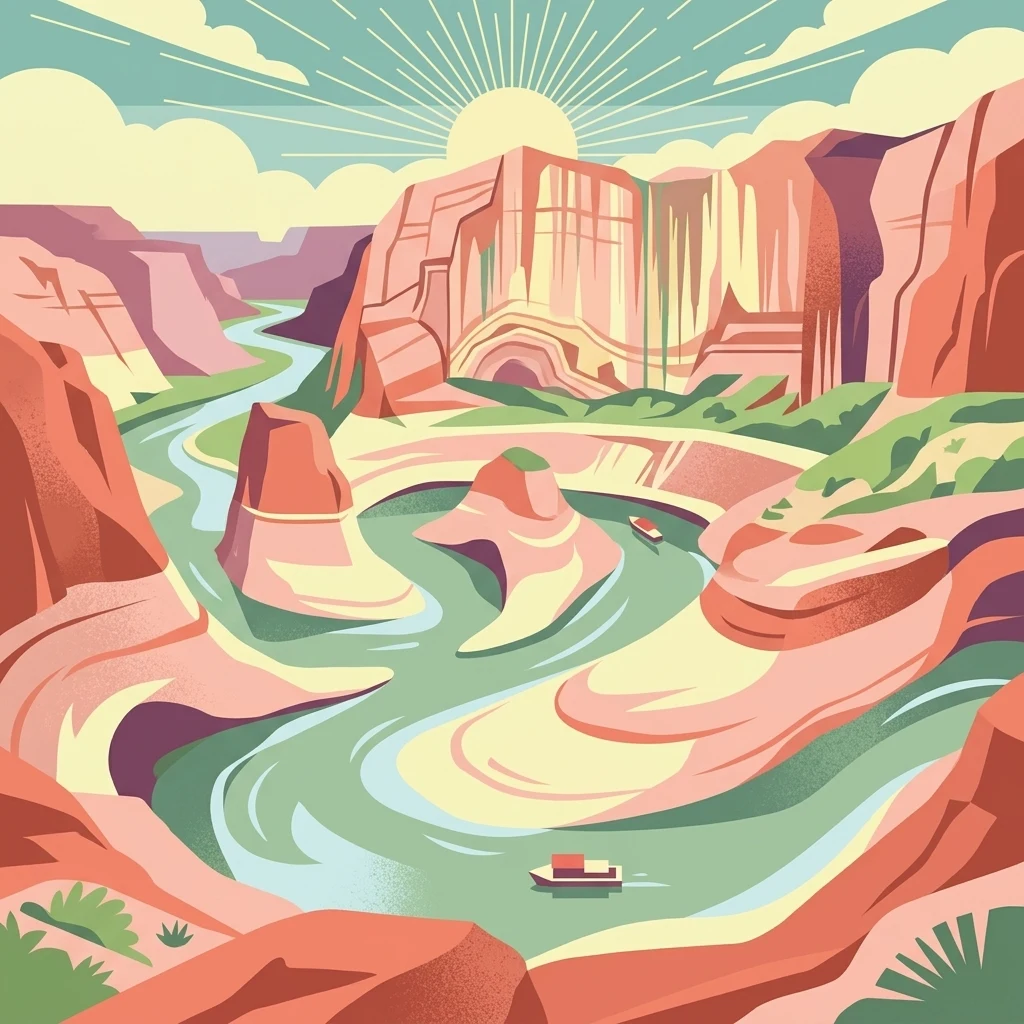
Map Glen Canyon National Recreation Area through cliffs and waterways
Canyon, cliff, lake, and river records across Glen Canyon National Recreation Area
Mapping fluvial geography and watercourse systems
Rivers
Investigate the various river segments and natural watercourses that define the hydrologic character of Glen Canyon National Recreation Area. This data-driven look at the area's fluvial features highlights how these critical water channels interact with sandstone cliffs and remote desert mesas across the Colorado Plateau.
Mapping narrow ravine and canyon-side terrain
Gorges
This collection features the gorge formations identified within the federal protected landscape of Glen Canyon National Recreation Area. Use this resource to understand the structural context of ravines and narrow valleys carved into the Navajo Sandstone and Kayenta formations of the Colorado Plateau.
Continue Exploring the Protected Landscapes of Glen Canyon National Recreation Area
Delve deeper into the mapped geography and environmental context of Glen Canyon National Recreation Area. This MoriAtlas destination provides a structured overview of the sandstone cliffs, slot canyons, and reservoir systems that define this significant American protected area.