
Peaks
Kozerowa Góra
888.1 m

A detailed geographic profile of protected mountain landscapes, river systems, and alpine meadows.
The geography profile of Gorce National Park encompasses 70.3 square kilometers of protected mountain terrain in Poland. The area spans diverse ecological zones, featuring prominent peaks like Gorc Troszacki and Suchora, alongside extensive forest cover and riverine networks within the Lesser Poland Voivodeship.
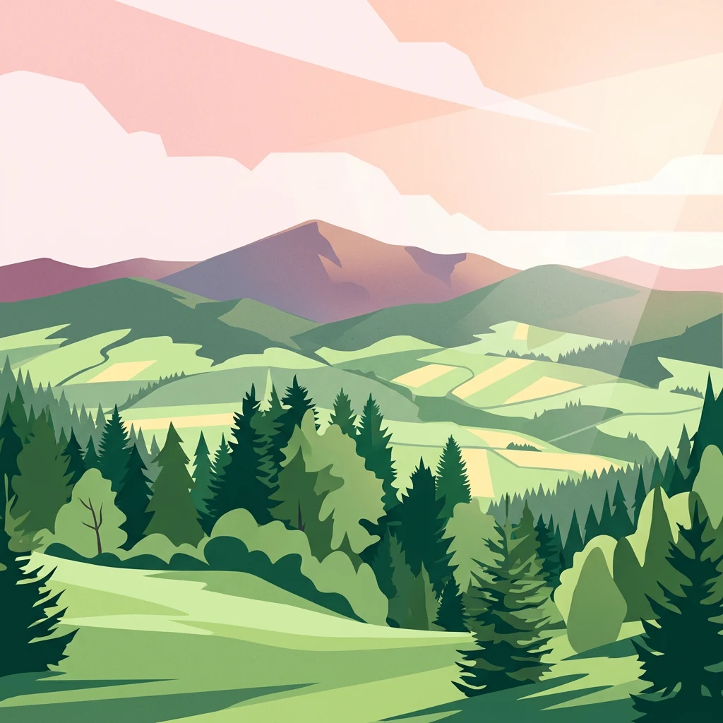
Carpathian mountain wilderness with ancient forests and species-rich meadows
Gorce National Park is a protected area in the Gorce Mountains of southern Poland, part of the Western Beskids range at the western end of the Carpathians. Established in 1981, the park covers approximately 70.3 square kilometers of mountainous terrain characterized by arched peaks, deep river valleys, and extensive forest cover. The landscape is dominated by Turbacz, the highest peak at 1,310 meters, along with other notable summits including Jaworzyna Kamienicka, Kiczora, Kudłoń, and Gorc. The park is headquartered in Poręba Wielka and spans across Limanowa and Nowy Targ counties in Lesser Poland Voivodeship. The park's ecological significance is substantial, with forests covering about 95% of its area. These forests, primarily composed of spruce, beech, and fir, represent some of the most well-preserved Carpathian woodland in Poland. The remaining terrain consists of distinctive mountain meadows known as polanas, which are a defining feature of the Gorce landscape and crucial for biodiversity. The park protects a rich variety of flora and fauna, including rare species such as the fire salamander, which serves as the park's symbolic animal, as well as lynx, wolves, and brown bears.
Administered within Poland and Lesser Poland Voivodeship
Interactive boundary geometry and calculated spatial metrics
Mountain relief data and recorded physical features
Peaks
888.1 m
Mountain saddles
1,009 m
Peaks
1,281 m
Mountain saddles
1,000 m
Peaks
1,000 m
Peaks
1,235 m
Temperate mountain relief, dominant forest cover, and diverse habitat types
Mountains · Valleys · Forest · Grassland · Cave
Temperate coniferous forest · Temperate broadleaf forest · Montane forest · Alpine meadow · Grassland · Riverine habitat
Compare surrounding Carpathian mountain landscapes and regional protected areas.

East

Carpathian forest and mountain clearing atlas
Gorczański Park Narodowy serves as a critical protected landscape in the Polish Carpathians. This atlas entry details the park's topography, including the dominant Turbacz massif, extensive forest corridors, and the ecological significance of its seepage meadows and high-altitude grasslands.
East
Ecological corridors across the Gorce and Beskid Wyspowy ranges
Covering nearly 18,000 hectares, Ostoja Gorczańska represents a significant biodiversity reservoir in the Polish Carpathians. The site integrates multiple protection frameworks, safeguarding varied habitats from subalpine grasslands to dense montane forests and peatland depressions. Use this resource to examine the structural connectivity of these mountain units and the expansive wilderness corridors found within the Lesser Poland Voivodeship.
Southeast
Exploring the river corridor and riparian ecosystems of southern Poland
Spanning 755 hectares across four connected enclaves, Środkowy Dunajec z dopływami protects the vital riverine systems of the middle Dunajec and its tributaries. This site offers a unique look at the fluvial processes and biodiversity of Carpathian mountain streams, showcasing diverse habitat structures from pioneer gravel banks to mature riparian forests.

Southwest
A vital peatland complex within the Polish Carpathian foothills.
Torfowiska Orawsko-Nowotarskie stands as one of the most comprehensive peatland conservation sites in the Polish Carpathians. Its landscape is defined by dome-shaped raised bogs, marshy pools, and boggy woodlands that occupy the broad intermontane basin of the Kotlina Orawsko-Nowotarska, offering a unique look at post-glacial wetland ecology.
North
Geographic map and habitat overview for southern Poland.
Raba z Mszanką serves as a significant protected corridor within the Lesser Poland Voivodeship. The site illustrates the ecological gradient of mountain stream environments, featuring shifting gravel bars, willow shrublands, and floodplain forests. This entry provides context on the riverine geography, including its role in sustaining populations of the Mediterranean barbel within the Carpathian foothills.
Northeast
A vital Carpathian nature reserve and bird sanctuary
Located at the highest point of the Beskid Wyspowy, Rezerwat przyrody Mogielica is a significant protected area dedicated to forest conservation and the preservation of rare wildlife, including the capercaillie. This site showcases unique geological features around its rocky summit and preserves intact montane forest gradients that characterize the natural heritage of the Polish Carpathians.
Southeast
Nature reserve on the southern slopes of the Gorce mountains
The Rezerwat przyrody Modrzewie nature reserve protects a rare stand of old-growth larch trees within the Gorce mountain range. Located on the southern slopes of Lubań in the Lesser Poland Voivodeship, this site provides valuable data on Carpathian forest ecology, displaying distinct tree populations that contrast with the surrounding alpine meadows and montane landscapes of southern Poland.
Northeast
Ecological mapping of traditional Carpathian grassland ecosystems.
Łąki koło Kasiny Wielkiej is a specialized nature reserve in the Beskid Wyspowy range, protecting fragmented semi-natural meadows that represent essential habitat types within the European Natura 2000 network. By analyzing the site boundaries and regional landscape context within Lesser Poland Voivodeship, this entry provides insight into how low-intensity farming preserves distinctive grassland flora and terrain structure in the Carpathian foothills.
Dive into the structured mapping and ecological data of Gorce National Park. MoriAtlas provides a clear look at the terrain, ridges, and meadow systems that define this protected area in the heart of the Western Beskids.