
Mori Atlas logo
Park guides

Focused insights into seasonal timing, environmental geography, and park topography.

Gorongosa National Park Official Guide Collection for Regional Landscape Discovery

Access a structured collection of expert guides covering the diverse ecosystems and geological features of Gorongosa National Park in Mozambique. These resources provide specific geographic context regarding the Great African Rift Valley environment, seasonal changes around Lake Urema, and the unique mosaic of habitats across the surrounding plateaus.

Related tags

Rift Valley ecosystemSavanna protected areaWildlife restorationEcotourism destinationFreshwater wetlands

Mozambique's Rift Valley wilderness in recovery

Gorongosa National Park

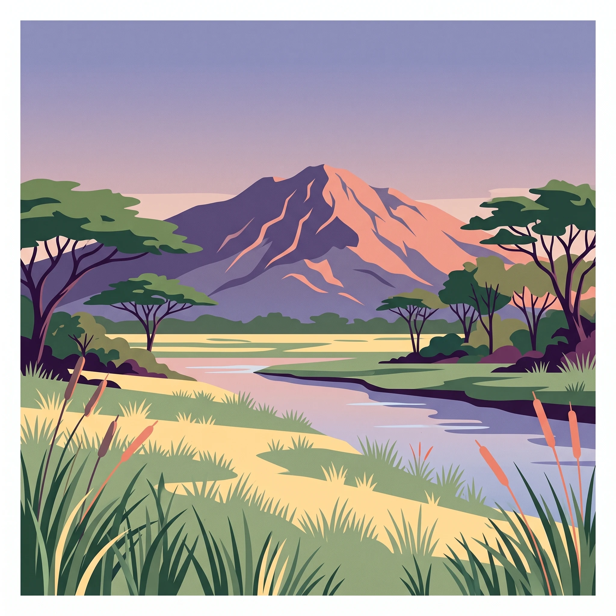
Gorongosa National Park represents one of Mozambique's most ambitious conservation endeavors and a compelling case study in ecosystem restoration. Located in the heart of central Mozambique at the southern end of the Great African Rift Valley, the park protects a diverse landscape that ranges from the seasonally flooded valley floor at just 14 meters above sea level to the slopes of Mount Gorongosa at 1,863 meters. The park's defining feature is the dynamic interplay between its rivers, particularly the Vunduzi flowing from Mount Gorongosa, and the seasonal floodwaters of Lake Urema, which can expand to cover over 200 square kilometers during wet seasons before shrinking to as little as 10 square kilometers during dry periods. This constant hydrological cycle creates a complex mosaic of habitats that support remarkable biodiversity. The park's ecosystems span savanna grasslands dotted with acacia trees, dry forests on sandy soils, seasonally inundated pans, and dense thickets around termite mounds. The surrounding plateaus support characteristic miombo woodland, while the limestone gorges contain pockets of pristine rain forest. Mount Gorongosa itself harbors montane forests and riverine corridors that add further ecological complexity to this already diverse protected area.

Location
Mozambique
Park type
National park
Established
1960
Area
3,770 km²
Highest point
1,863 m
Gorongosa National Park Protected Area
MoriAtlas Explorer

Continue Exploring Gorongosa National Park's Mapped Landscape and Regional Geography

Deepen your understanding of Gorongosa National Park by examining its specific geographic context within Mozambique and the Great African Rift Valley. Investigate the park's unique mosaic of protected landscapes, from its seasonally inundated floodplains to its unique montane rainforests, and gain insight into its ecological significance and mapped terrain.