
Mori Atlas logo
Park guides

Focused insights into seasonal timing and environmental navigation for the Teton Range.

Comprehensive Guide Collection for Grand Teton National Park Mountain Landscapes

Access a structured collection of resources detailing the complex geography and seasonal character of Grand Teton National Park. These guides clarify timing considerations for exploring the high elevation trails and the diverse terrain spanning the Teton Range and the Jackson Hole valley.

Related tags

mountain peaksalpine environmentglacier landscapelake and river systemswildlife viewing

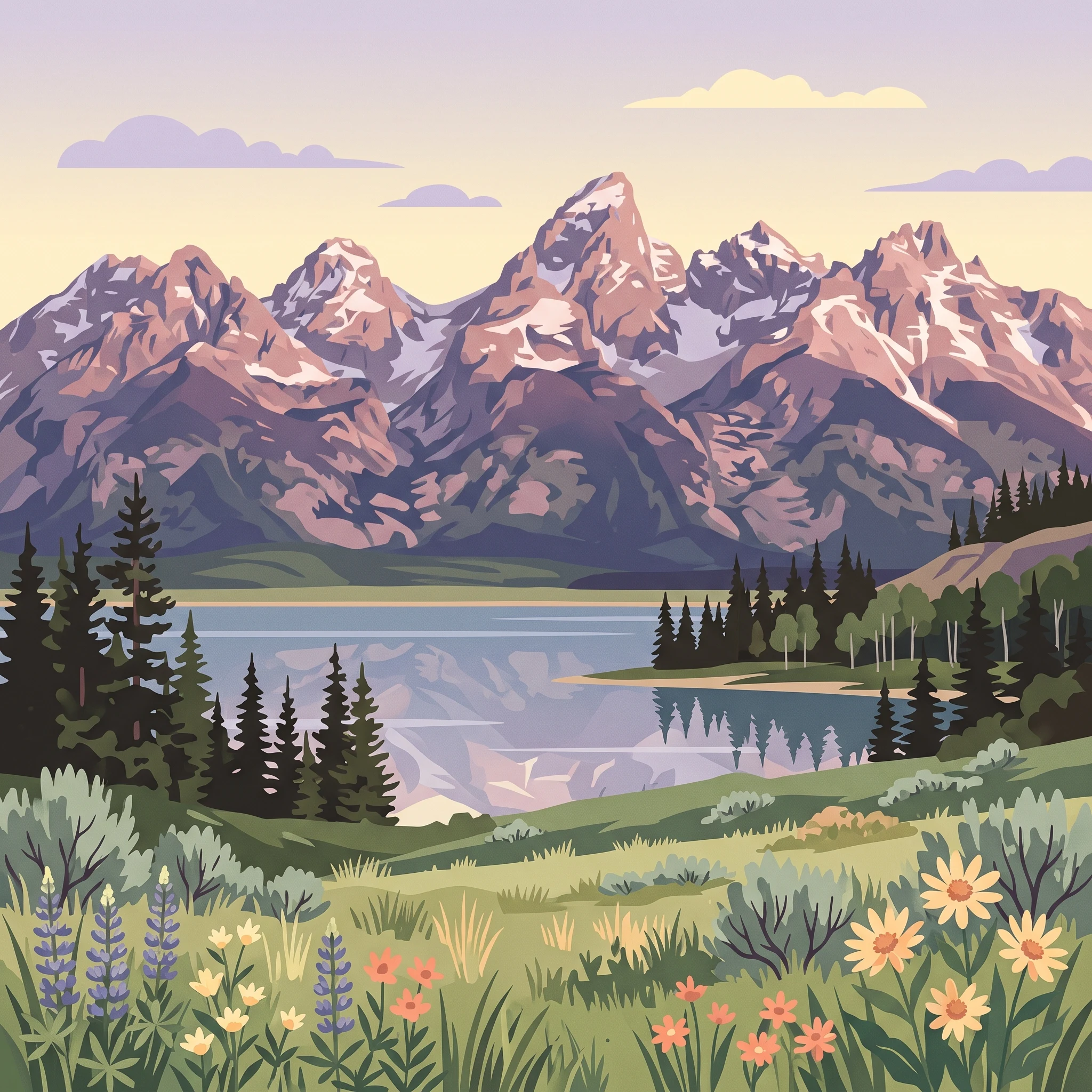
Dramatic alpine peaks rising above a pristine valley in northwestern Wyoming

Grand Teton National Park

Grand Teton National Park preserves a landscape of exceptional geological and ecological significance in northwestern Wyoming. The park encompasses the dramatic Teton Range, which began forming between 6 and 9 million years ago through fault-block mountain building, making it the youngest range in the Rocky Mountains. The range rises abruptly from the valley floor without any foothills, creating a striking visual boundary between Jackson Hole and the mountains beyond. Ten peaks in the range exceed 12,000 feet above sea level, with Grand Teton reaching 13,775 feet. The valley of Jackson Hole itself is a graben valley created by the Teton Fault, which has displaced the valley downward approximately 30,000 feet relative to the mountains. The park includes Jackson Lake, formed by glacial activity and enlarged by dam construction, as well as the Snake River which flows through the length of the valley. Glacial activity, particularly during the Pinedale glaciation that ended roughly 15,000 years ago, carved the characteristic U-shaped canyons visible today, including Cascade Canyon, Death Canyon, and others that provide access into the heart of the range. Though currently in recession, approximately a dozen glaciers persist at high elevations, including Teton Glacier below the northeast face of Grand Teton, which researchers have determined could disappear within 30 to 75 years due to changing climate conditions.

Location
United States of America
Park type
National park
Established
1929
Area
1,300 km²
Highest point
4,199 m
Grand Teton National Park Atlas
1 guide

Compare visitor timing topics and match specific protected area questions

Published Guides and Thematic Resources for Grand Teton National Park

Published reference materials for Grand Teton National Park explore seasonal visitor timing tradeoffs across high elevation mountain terrain. Topic led resources assist readers in evaluating peak summer access against quieter shoulder periods.
MoriAtlas Explorer

Continue Exploring Grand Teton National Park's Mapped Geography and Landscape Context

Deepen your understanding of Grand Teton National Park by exploring its specific mapped boundaries and the surrounding regional geography. This focused exploration provides essential context for comprehending its protected landscape identity and its role within the atlas of North American natural areas. Uncover the detailed geographic features that define this important national park.

Global natural geography