

Mori Atlas logo
Park guides

Focused resources for visiting the volcanic terrain and forest ecosystems of the Caribbean

Expert Planning Guides for Exploring the Landscapes of Guadeloupe National Park

Browse the collection of planning resources for Guadeloupe National Park, a protected area encompassing the volcanic massif of La Soufrière and expansive tropical rainforests in the Lesser Antilles. These materials provide essential context for navigating the park's diverse ecological zones and managing visits to its significant terrestrial and marine environments.

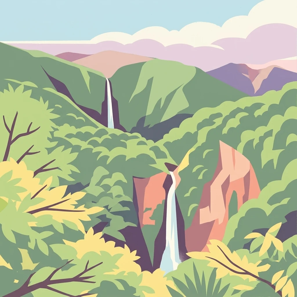
Stylized image of two waterfalls flowing through dense green forest with rocky cliffs, set against rolling mountains and a light blue sky with pink clouds

Caribbean volcanic rainforest park protecting Basse-Terre's mountain massif

Guadeloupe National Park

Guadeloupe National Park represents France's pioneering national park established outside metropolitan France, created to protect the exceptional biodiversity of Basse-Terre's tropical forest and volcanic landscape. The park's creation evolved from the 1970 establishment of the Guadeloupe Natural Park by the General Council of Guadeloupe, which recognized the outstanding natural value of the island's mountainous interior. Following proposals in 1977 to strengthen management through national park status, the park was officially established on February 20, 1989, becoming the only French national park outside mainland France for nearly two decades until the creation of parks in Réunion and French Guiana in 2007. The park's territorial scope encompasses significant portions of Basse-Terre's mountainous spine, extending across eleven communes from Vieux-Habitants on the western coast through the central highlands to Gourbeyre and Saint-Claude in the southern region. This extensive coverage allows the protection of a complete altitudinal gradient from coastal mangroves and dry forest through mid-elevation mesophilic forest to the cloud-shrouded montane forests surrounding La Soufrière's summit. The administrative framework places the park under Parcs nationaux de France, ensuring management standards consistent with France's national park system while addressing the unique challenges of a Caribbean protected area. The integration of the Grand Cul-de-Sac Marin Nature Reserve, established in 1987 and now managed in conjunction with the national park, extends protection into marine and coastal ecosystems. This marine reserve encompasses coastal wetland forests, seagrass beds, and coral communities that complement the terrestrial protected areas. The combined terrestrial-marine protected area system was recognized as the Guadeloupe Archipelago biosphere reserve by UNESCO in 1992, highlighting the region's importance as a model of integrated conservation across land and sea. This biosphere reserve designation reflects the park's role in maintaining ecological processes essential to regional biodiversity while allowing for sustainable human use of surrounding areas.

Location
Guadeloupe
Park type
National park
Established
1989
Area
173 km²
Highest point
1,467 m
Guadeloupe National Park Protected Area
1 guide

Compare available reference materials and targeted seasonal planning themes.

Published Guides and Seasonal Planning Resources for Guadeloupe National Park

Access the complete collection of published guides covering Guadeloupe National Park and its volcanic terrain. Compare specific seasonal planning themes to find detailed reference material addressing precise timing questions for volcanic hiking routes.
MoriAtlas Explorer

Continue Your Atlas Exploration of Guadeloupe National Park's Protected Landscape

Deepen your understanding of Guadeloupe National Park by navigating its specific geographic context and protected area features. Discover how this national park contributes to the regional atlas of conservation landscapes in the Caribbean. Continue to explore its mapped terrain and understand its significance as a protected natural environment.