World-renowned cave system and karst landscapes in Borneo's equatorial rainforest
Gunung Mulu National Park
Gunung Mulu National Park stands as one of the world's most significant natural heritage sites, combining exceptional geological formations with remarkable biodiversity in a mountainous tropical rainforest setting. Located in Sarawak on the island of Borneo, the park encompasses a landscape of extraordinary diversity, from peat swamp forests at low elevations through mixed dipterocarp forests to moss-covered summit zones. The park's most distinctive feature is its extensive cave systems, which have been the focus of scientific exploration since the landmark Royal Geographical Society Expedition of 1977-1978, initiating over two decades of continuous research that has mapped nearly 300 kilometers of passages.
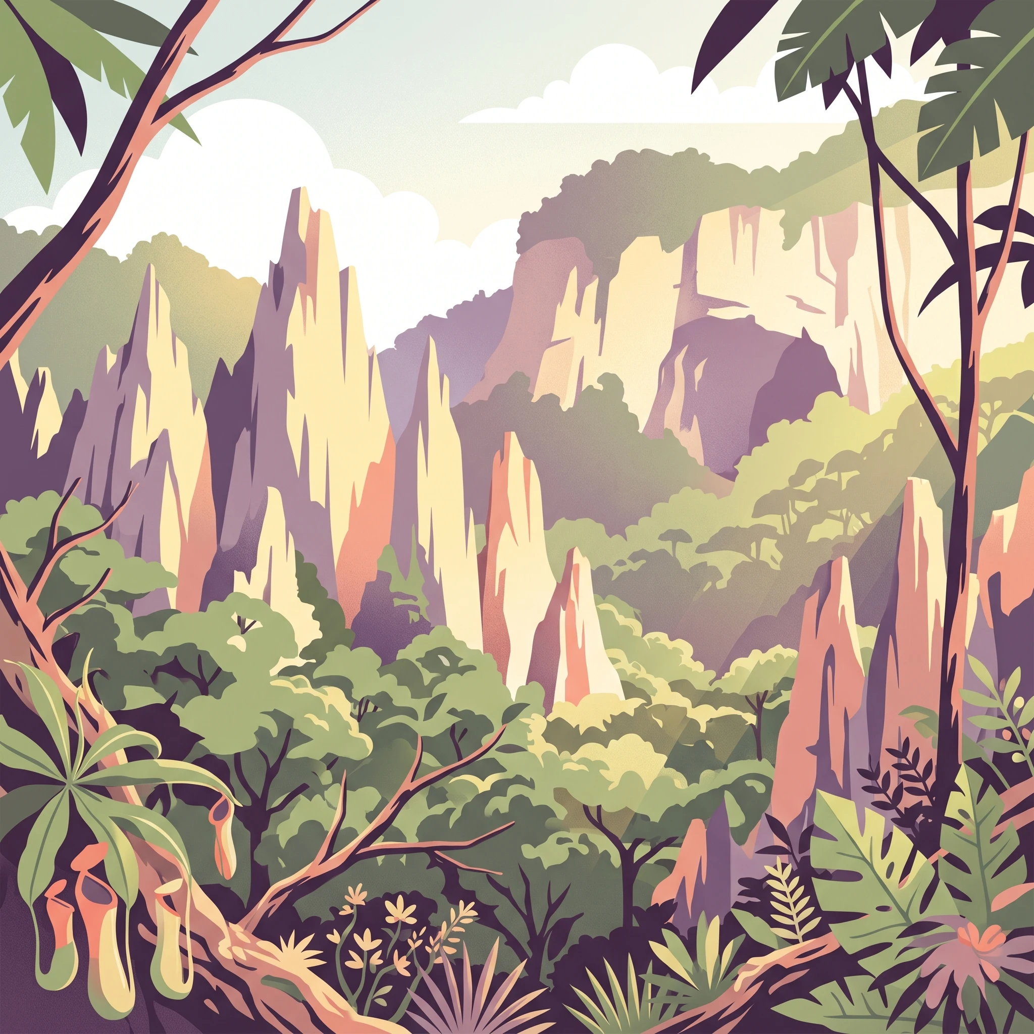
The geological foundation of the park consists of ancient sedimentary formations, with Mount Mulu formed from Palaeocene sandstones and shales, while the surrounding limestone mountains of Api, Benarat, and Buda were created during the Upper Eocene to Lower Miocene periods. These limestone formations have been subjected to millions of years of tectonic uplift and tropical weathering, producing the dramatic karst topography that defines the park's visual identity. The Pinnacles of Mount Api represent perhaps the most iconic landscape in the park, a forest of razor-sharp limestone spires rising hundreds of meters from the surrounding forest.
Beyond its geological wonders, the park supports exceptional biological diversity across its seventeen distinct vegetation zones. The lowland forests cover approximately 40 percent of the park area, while montane forests occupy another 20 percent, creating a complex ecological gradient from tropical swamp to alpine conditions. Over 3,500 species of vascular plants have been recorded, including more than 1,700 species of mosses and liverworts, 442 pteridophytes, and numerous endemic species adapted to the park's unique habitats. The cave ecosystems themselves support specialized communities of bats, swiftlets, and invertebrates, while the surrounding forests provide habitat for primates, pangolins, sun bears, and eight species of hornbill.