
Mori Atlas logo
Park guides

Exploratory resources covering seasonal timing and landscape dynamics in the Mallee district.

Comprehensive Guide Collection for Hattah-Kulkyne National Park in Victoria

Discover a curated series of informational guides dedicated to Hattah-Kulkyne National Park. These resources clarify seasonal shifts within the semi-arid mallee woodlands, including essential details on the most suitable periods for exploring the red-earth terrain and the wetland systems of the Murray River basin.

Related tags

Mallee WoodlandsRamsar WetlandImportant Bird AreaSeasonal LakesSemi-Arid Landscape

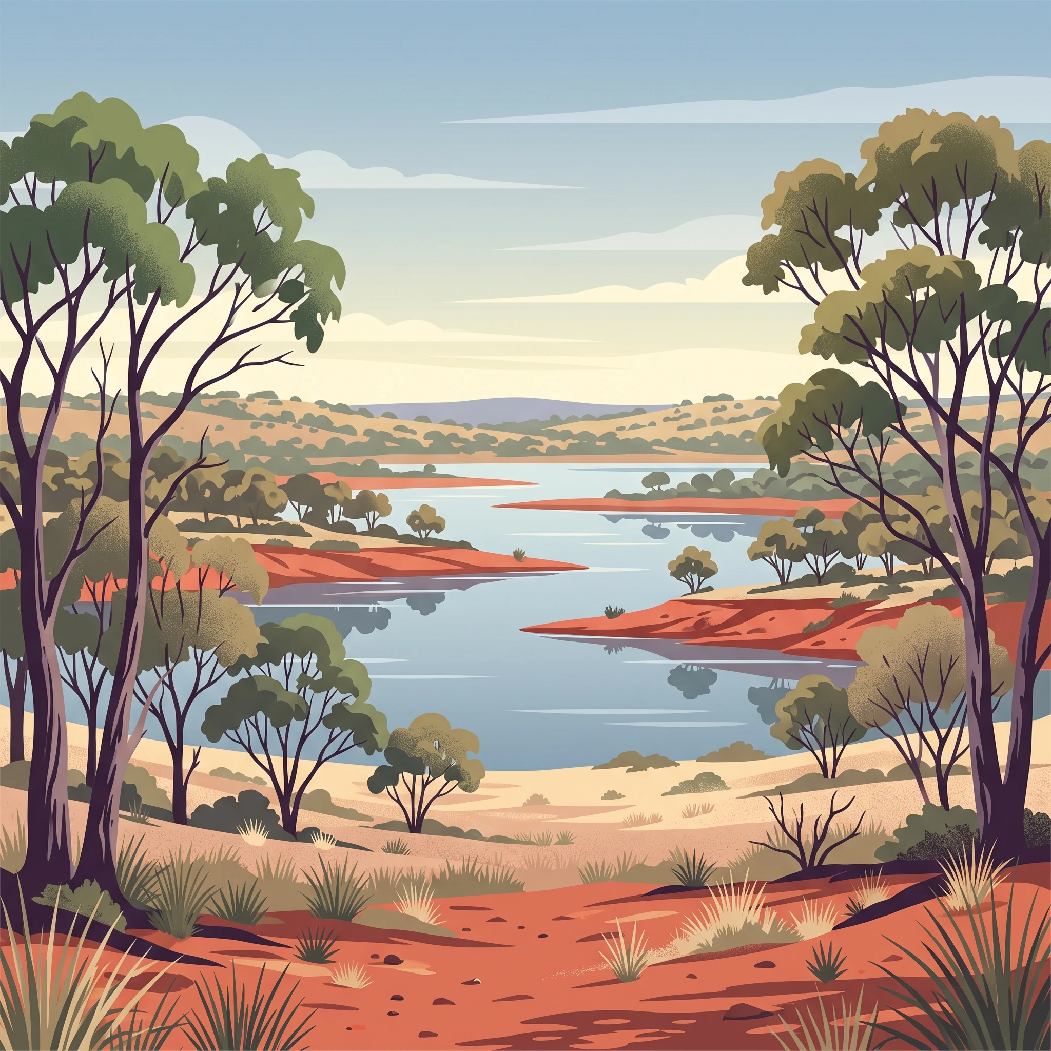
Red dirt, mallee woodlands and lakes in Victoria's Mallee region

Hattah-Kulkyne National Park

Hattah-Kulkyne National Park occupies a distinctive position in Victoria's protected area network as one of the state's largest and most ecologically significant mallee parks. Located in the heart of the Victorian Mallee, a region defined by its low rainfall, red sandy soils, and characteristic mallee eucalypt vegetation, the park offers visitors an experience fundamentally different from the mountain and coastal parks that dominate much of Victoria's national park system. The park's landscape is dominated by various mallee species including oil mallee, blue mallee, and bull mallee, interspersed with areas of native grassland and the critical wetland habitats that give the park its character. The Hattah Lakes chain represents the most prominent hydrological feature, with Lake Hattah being the largest of approximately seven lakes within the park boundary. These lakes are fed by seasonal flows and can fill completely during wet periods, supporting abundant birdlife and vegetation, before drying out entirely during extended dry periods. The park's management as part of the broader Victorian Mallee Parks network reflects its ecological connectivity with neighbouring protected areas, creating a contiguous corridor of mallee habitat that supports both biodiversity conservation and traditional land management practices.

Location
Australia
Park type
National park
Established
1960
Area
480 km²
Hattah-Kulkyne National Park protected area
MoriAtlas Explorer

Continue Exploring Hattah-Kulkyne National Park's Protected Landscape and Regional Geography

Investigate the distinct red-earth terrain and seasonal wetland dynamics that define Hattah-Kulkyne National Park. Understanding its place within the broader Murray-Darling Basin geography, as mapped and cataloged for atlas exploration, reveals the park's critical role as a protected landscape. Delving deeper into its specific mapped boundaries and ecological significance offers a clearer picture of this unique Australian national park and its place in the continent's natural atlas.