
Streams
Park geography
Analyzing the terrain, regional context, and physical features of this protected landscape.
Hells Canyon National Recreation Area: Comprehensive Geographic Profile and Boundary Data
This geographic profile details the physical scope and environmental characteristics of Hells Canyon National Recreation Area in the United States. Covering approximately 2641 square kilometers across Idaho and Oregon, the data provides an overview of mountainous terrain that reaches 2200 meters in elevation. Discover the spatial distribution of ridges, rivers, peaks, and water bodies within this protected land.
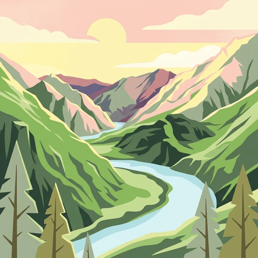
A deep Snake River gorge straddling the Oregon-Idaho border, preserving America's deepest river-cut canyon.
Hells Canyon National Recreation Area
Hells Canyon National Recreation Area is a large protected landscape along the border of northeastern Oregon and west-central Idaho in the northwestern United States. It was created to preserve the historic, archaeological, and natural resources of the Hells Canyon stretch of the Snake River, one of the most remarkable gorges in North America. The recreation area is managed by the U.S. Forest Service as part of the Wallowa-Whitman National Forest and spans a vast and varied terrain of steep canyon walls, rim country, river valleys, and forested uplands. Within its boundaries lies a substantial designated wilderness, a rich archaeological landscape with thousands of years of human history, and an extensive trail network along the Snake River. Hells Canyon National Recreation Area is significant both as an outdoor recreation destination and as a cultural-heritage landscape. The Snake River corridor that runs through the area contains deeply important archaeological sites, including rock art concentrations that help tell the story of the region's long indigenous and historic human presence.
- Location
- United States of America
- Park type
- Protected landscape
- Established
- 1975
- Area
- 2,641 km²
- Highest point
- 2,200 m
Location overview
Country and regional membership records for protected territory placement
Geographic Overview of Hells Canyon National Recreation Area Location
Hells Canyon National Recreation Area spans recorded territory within the United States of America, specifically across the states of Idaho and Oregon. Administrative records outline regional memberships while excluding transboundary, coastal, island, and marine classifications.
- Countries
- United States of America
- Regions
- Idaho, Oregon
- Primary location
- United States of America
- Geographic setting
- Inland
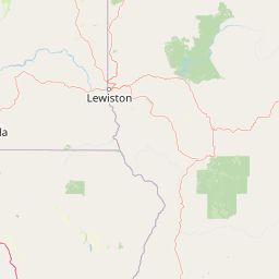
Boundary and coordinates
Interactive boundary geometry spanning 2,641 square kilometres
Hells Canyon National Recreation Area Boundary Map and Spatial Extent
Mapped geographic outlines provide clear spatial context for the protected territory. Derived measurement records detail the total surface area, coordinate limits, and regional spans.
- Boundary area
- 2,559.5 km²
- Boundary perimeter
- 732.9 km
- Northernmost point
- 45.9969° N
- Southernmost point
- 44.9062° N
- Easternmost point
- 116.3785° W
- Westernmost point
- 117.0961° W
- Geographic centre
- 45.4921° N, 116.7208° W
- North–south span
- 121.2 km
- East–west span
- 56.1 km
Elevation and terrain
Mountain relief summary and recorded interior natural features
Hells Canyon National Recreation Area Terrain and Elevation Profile
Examine the recorded elevation summary and mountain relief data for Hells Canyon National Recreation Area. Review structured feature cards detailing names, types, and spatial relationships for interior streams, ridges, and lakes.
- Maximum elevation
- 2,200 m
- Highest point
- 2,200 m
Selected named natural features
Streams
Christmas Creek
Streams
Pittsburg Creek
Streams
Hope Creek
Ridges
Clarks Ridge
Rivers
Pine Creek
Environmental setting
Temperate climate zones, major water presence, and partial forest cover records
Hells Canyon National Recreation Area Environmental Settings and Terrain Classifications
Recorded landscape features, habitat types, and relief classifications provide complementary interpretations of physical settings. Connected categories link directly to relevant atlas destinations across the protected area.
- Relief
- Mountain
- Climate
- Temperate
- Water
- Major water bodies
- Forest cover
- Partial forest
- Seasonality
- Year-round
Landscape features
Mountains · Valleys · Cliffs · Canyon · Forest · Rivers
Habitat types
Temperate coniferous forest · Riverine habitat · Coastal habitat
Park atlas
Compare regional geography and connected wilderness areas across the northwestern terrain
Parks Near Hells Canyon National Recreation Area and Related Protected Landscapes
Browse other parks near Hells Canyon National Recreation Area to evaluate surrounding river gorges, high country plateaus, and forested uplands. Expanding into adjacent protected areas provides deeper regional context for the geological and cultural history of the Pacific Northwest.
Wildlife reserveOregon
Park boundaries overlap#1 closest
Southwest

Eagle Cap Wilderness: Map and Protected Area Overview in Northeastern Oregon
High elevation terrain, glacial valleys, and mountain ecosystems
Spanning over 350,000 acres, Eagle Cap Wilderness defines the high-altitude geography of the Wallowa Mountains. This protected area is characterized by sharp granite ridges, more than 60 named alpine lakes, and deeply carved U shaped glacial valleys. It acts as a primary water source for the region, hosting the headwaters of several major rivers while supporting diverse wildlife populations in a preserved backcountry environment.
- Area
- 1,462.72 km²
- Established
- 1940
- IUCN
- Ib
- Relief
- Mountain
Protected landscapeIdaho
Park boundaries overlap#2 closest
South
Payette National Forest: Geographic Overview of Idaho's Rugged Mountain Wilderness
Protected granite landscapes and glacial basin geography
Encompassing a vast portion of central Idaho, Payette National Forest represents a significant protected wilderness corridor. The forest geography transitions from granite-based alpine peaks and deep river gorges to dense coniferous slopes, providing essential habitat and extensive trail connectivity throughout the Northern Rockies.
- Area
- 9,419.55 km²
- Established
- 1944
- Relief
- Mountain
- Access
- Access unknown
Protected landscapeOregon
Park boundaries overlap#3 closest
Southwest
Wallowa-Whitman National Forest: A Geographic Overview of Northeastern Oregon Landscapes
Alpine wilderness, mountain ranges, and deep river gorges.
Wallowa-Whitman National Forest protects a vast, varied landscape of granite peaks, alpine meadows, and forested river canyons. This detailed overview covers the geographic significance of the Wallowa and Elkhorn mountains, the Hells Canyon corridor, and the surrounding wilderness regions within Oregon.
- Area
- 9,682 km²
- Established
- 1905
- Visitors
- 505K annual
- Relief
- Mountain
Wildlife reserveIdaho
37 km away#4 closest
Southeast
Frank Church, River of No Return Wilderness: Idaho Protected Mountain and River Landscapes
Discover massive roadless geography and river-carved mountain terrain.
Spanning over 2.3 million acres in central Idaho, the Frank Church, River of No Return Wilderness represents one of the most significant intact roadless landscapes in the lower 48 states. This protected area features a complex mosaic of coniferous forests, high-altitude alpine ridges, and the steep, jagged canyons of the Salmon River, creating a unique geographic profile for regional exploration.
- Area
- 9,578.21 km²
- Established
- 1980
- IUCN
- Ib
- Relief
- Mountain
Protected landscapeOregon
About 90 km away#5 closest
West
Umatilla National Forest: A Comprehensive Atlas of Blue Mountains Protected Landscapes
Explore mountain terrain, wilderness areas, and river-carved geography
Spanning over one million acres, Umatilla National Forest encompasses a complex array of river-cut canyons, high-country ridges, and substantial old-growth woodlands. This protected landscape offers a deep look into the ecological and physical character of the Blue Mountains, from the remote reaches of the Wenaha-Tucannon Wilderness to the headwaters of the Umatilla River.
- Area
- 5,694 km²
- Established
- 1908
- Visitors
- 703K annual
- Relief
- Mountain

Protected landscapeIdaho
98 km away#6 closest
East
Salmon, Challis National Forest: Geography and Protected Land Map in Central Idaho
Extensive alpine ridges and wild river corridors
Spanning over 4.2 million acres, Salmon, Challis National Forest is a foundational protected landscape in Idaho. This area includes the highest peaks in the state, such as Borah Peak, and holds the majority of the Frank Church, River of No Return Wilderness. Utilize this atlas resource to examine the intricate mountain topography, expansive river systems, and the contiguous wild corridors that define this significant portion of the northern Rockies.
- Area
- 17,142.2 km²
- Established
- 1908
- Relief
- Mountain
- Climate
- Temperate
Protected landscapeOregon
110 km away#7 closest
Southwest
Malheur National Forest: Exploring Oregon's Vast Protected Mountain and Desert Landscape
A geographic study of the Blue Mountains and high desert terrain
Spanning over 1.4 million acres, Malheur National Forest represents a complex protected landscape in eastern Oregon. Its geography is defined by a central spine of the Strawberry Mountains, creating a transition zone between arid high desert ecosystems and dense coniferous forests. Known for large wilderness areas and extensive old growth stands, this forest serves as a vital point for understanding the interplay between topographic elevation and regional climate in the Pacific Northwest.
- Area
- 5,929.81 km²
- Established
- 1908
- Visitors
- 242K annual
- Relief
- Mountain
Protected areaFranklin County
143 km away#8 closest
Northwest
Juniper Dunes Wilderness: Franklin County Protected Area and Landscape Atlas
An arid shrub-steppe and sand dune wilderness in the Columbia Basin.
Juniper Dunes Wilderness protects a rare ecological confluence of active sand dunes and gnarled western juniper groves within eastern Washington. This wilderness remains a significant study in arid-land geography and biogeographic isolation, providing a protected sanctuary for specialized flora and terrain formations within the broader Columbia Basin landscape.
- Area
- 28.9 km²
- Established
- 1984
- IUCN
- Ib
- Relief
- Lowland
MoriAtlas Explorer
Examine the Topography of Hells Canyon National Recreation Area
Navigate the complex landscape and river corridors of this significant protected area in the United States. MoriAtlas provides a structured overview of the geologic and cultural features that define this massive canyon ecosystem, perfect for understanding the scale of the Snake River gorge and its surrounding wilderness.
Browse next
Global natural geography
Explore related park routes
Explore MoriAtlas Global ParksBrowse All MoriAtlas ParksGlobal Park Map DiscoveryMoriAtlas: Browse All CountriesBrowse All MoriAtlas ContinentsNational Park Environment AtlasGrand Canyon National Park AtlasYellowstone National Park AtlasYosemite National Park Atlas and GeographySerengeti National Park AtlasGalápagos National Park Protected LandscapeBanff National Park Geography and AtlasKruger National Park Atlas EntryUluṟu-Kata Tjuṯa National Park AtlasExplore Uluru-Kata Tjuta National Park GeographyPlitvice Lakes National Park AtlasFiordland National Park Protected LandscapeGreat Smoky Mountains National Park AtlasAfghanistan National Parks and Protected AreasAlbania National Parks and Protected AreasAlgeria National Parks and Protected AreasAmerican Samoa National Parks and Protected AreasAndorra National Parks and Protected AreasAngola National Parks and Protected AreasAntarctica National Parks and Protected AreasAntigua and Barbuda Park List