
Mori Atlas logo
Park guides

Seasonal context for Rift Valley cliffs, gorges, and volcanic plains

Hell's Gate National Park visit-planning guide for Nakuru County seasons

Explore Hell's Gate National Park's guides for red cliffs, volcanic plugs, plains, geothermal features, and its narrow gorge. The timing guide highlights cooler, drier June-to-September conditions for hiking and cycling while explaining how occasional rain can affect gorge-path access despite year-round park access.

Related tags

Volcanic LandscapeRift ValleyBirdwatchingCycling AllowedCamping Allowed

Kenya's volcanic landscape of cliffs, geysers, and ancient geothermal springs

Hell's Gate National Park

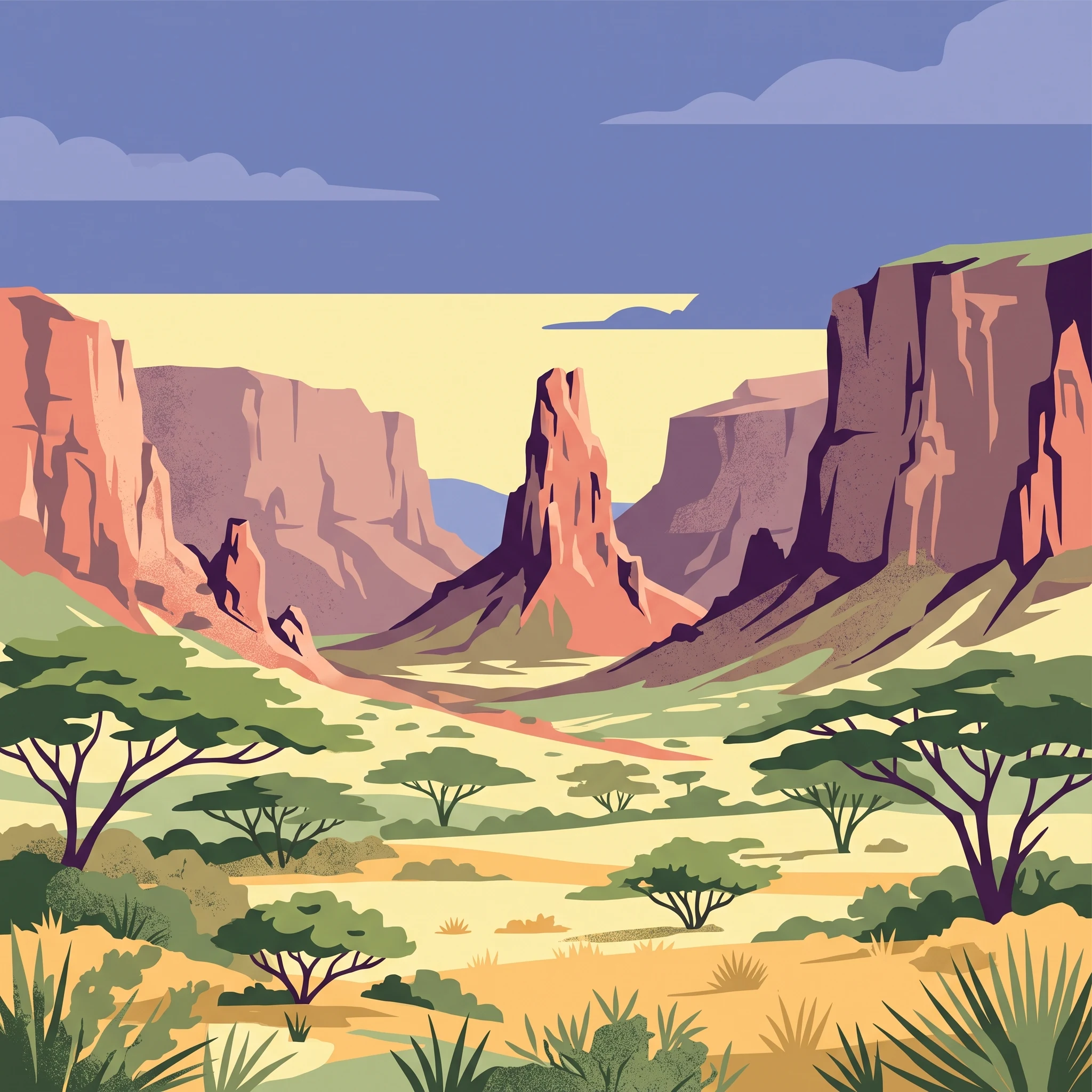
Hell's Gate National Park occupies a remarkable position in Kenya's protected area network, offering a combination of geological significance, accessibility, and recreational opportunity that distinguishes it from most other national parks in East Africa. Located within Nakuru County near the freshwater Lake Naivasha, the park sits at approximately 1,900 meters elevation along the floor of the Kenyan Rift Valley. The landscape is fundamentally volcanic in character, marked by extinct volcanoes, ancient lava flows forming obsidian, and the park's namesake feature: a narrow break in the towering cliff walls known as Hell's Gate Gorge. Two prominent volcanic plugs, Fischer's Tower and Central Tower, rise dramatically from the gorge floor, named after the German explorer Gustav Fischer who first reached the gorge in 1882. The park's establishment in 1984 recognized both the area's ecological value and its unique geological heritage, encompassing a territory of 68.25 square kilometers under the administration of the Kenya Wildlife Service. Beyond its natural features, the park contains the Olkaria geothermal complex, Africa's first geothermal power station, which generates significant electricity beneath the park's surface. The combination of dramatic volcanic scenery, wildlife protection, and human energy production creates a landscape of unusual complexity where natural and industrial elements coexist within a protected boundary.

Location
Kenya
Park type
National park
Established
1984
Area
68.3 km²
Hell's Gate National Park Atlas
1 guide

Compare focused visit planning themes to match specific park questions and travel dates.

Published Guides for Hell's Gate National Park: Explore Expert Destination Insights

Browse the complete collection of published guides covering essential planning topics for Hell's Gate National Park. Each focused resource addresses specific visitor inquiries regarding seasonal weather patterns, ideal visiting months, and practical field conditions.
MoriAtlas Explorer

Continue Exploring Hell's Gate National Park's Mapped Geography and Protected Landscape

Dive deeper into the structured geographic data and atlas context of Hell's Gate National Park. Understand its specific role as a protected area within Nakuru County, and how its mapped terrain contributes to a broader regional geographic understanding. This exploration reveals the park's distinct landscape identity, enhancing your appreciation for conservation areas.

Global natural geography