Mori Atlas logo
Protected landscapeHeselgraben

A study of traditional agricultural mosaic landscapes and regional Obere Gäue valley topography

Heselgraben Protected Landscape: Mapping the Geological and Ecological Terrain of Baden-Württemberg

(Landschaftsschutzgebiet „Heselgraben")

Heselgraben serves as a prime example of a structurally complex protected landscape situated on the geological meeting point of Muschelkalk and Keuper formations. Located across the Freudenstadt and Rottweil districts of Baden-Württemberg, the area showcases a rich mosaic of wet meadows, semi-dry grasslands, and hedgerows. Through its integration with the Empfinger Bach stream and the Empfinger Stauweiher pond, the region provides a vital study of southwestern German valley ecosystems and traditional land use patterns.

protected landscapeBaden-WürttembergFreudenstadt districtRottweil districtEmpfingenSulz am Neckar

Heselgraben

Protected landscape

Park overview

Structured park overview, official facts, and landscape profile for Heselgraben

Heselgraben park facts, protected area profile, and essential visitor context

Review the core facts for Heselgraben, including designation, size, terrain, visitor scale, habitats, and operating context in one park-focused overview.

About Heselgraben

Heselgraben is a compact protected landscape in the northern Black Forest foreland of Baden-Württemberg. Located between the village of Mühlheim am Bach and the municipality of Empfingen, it extends across the boundary of two districts, Freudenstadt to the north and Rottweil to the south, and involves the municipalities of Empfingen and Sulz am Neckar.

The area's identity is strongly tied to its geology. It lies along a transition zone where older Muschelkalk limestone formations meet the younger Keuper strata, a setting typical of the Obere Gäue natural region. This geological backdrop shapes both the soils and the resulting vegetation patterns visible across the protected landscape.

What distinguishes Heselgraben is the unusually fine-grained pattern of land uses compressed into a relatively small area. Hedges, field coppices, semi-dry grasslands, wet meadows, and the small reservoir known as the Empfinger Stauweiher together create a richly structured traditional cultural landscape. The Empfinger Bach stream threads through the area, supporting its wetland habitats. Two district roads traverse the western portion of the area, reflecting the long-standing integration of this protected landscape into the surrounding agricultural and transport network.

The protected landscape has been formally recognized since 14 August 1989, when the Landratsamt Freudenstadt issued the founding ordinance. Because the area extends into a neighboring district, it is jointly administered by the Landratsamt Freudenstadt and the Landratsamt Rottweil, and carries two separate WDPA identifiers. Its southern portion also lies within the FFH protected site "Wiesen und Heiden an Glatt und Mühlbach," tying local conservation to a wider European ecological network.

While small in absolute terms, Heselgraben illustrates how modest agricultural landscapes along geological transition zones can hold significant ecological value. Its mosaic of dry and wet habitats, hedgerow networks, and traditional land uses makes it a characteristic example of the small-scale protected landscapes of the Baden-Württemberg Gäu region.

Quick facts and research context for Heselgraben

Heselgraben is a German Landschaftsschutzgebiet, a category of protected landscape, established in 1989 by the Freudenstadt district office. It lies between Mühlheim am Bach and Empfingen in Baden-Württemberg, spanning the boundary between Freudenstadt and Rottweil districts. The protected area covers approximately 37.8 hectares and is designated with the IUCN Category V status, indicating a protected landscape or seascape.

Administration is shared between the Landratsamt Freudenstadt and the Landratsamt Rottweil, with two separate WDPA IDs reflecting the cross-district jurisdiction. The southern portion overlaps with the FFH site "Wiesen und Heiden an Glatt und Mühlbach," connecting local protection with European Natura 2000 conservation goals.

Protection and recognition

Documented terrestrial conservation measures and administrative scope

Heselgraben Protection Status and International Recognition Data

Heselgraben maintains a documented terrestrial protection scope defined by official administrative records. Conservation data details the established management parameters and recognized status for this protected landscape.

Protection details

Protection scope
Terrestrial
Transboundary protection
No
Park context

Deeper park guide and search-rich context for Heselgraben

Heselgraben history, landscape, wildlife, and travel context

Explore Heselgraben through its history, landscape character, ecosystems, wildlife, conservation priorities, cultural context, and seasonal travel timing in a structured park guide built for atlas discovery and search intent.

Why Heselgraben stands out

Heselgraben is best known for its small-scale habitat mosaic and traditional landscape structure characterized by hedges, field coppices, semi-dry grasslands, and wet meadows set within a working agricultural environment. Also notable is its location on the geological boundary between Muschelkalk and Keuper in the Obere Gäue, and the presence of the Empfinger Stauweiher pond at its northern edge.

Heselgraben history and protected-area timeline

The protected landscape Heselgraben was formally established on 14 August 1989 through a regulatory ordinance issued by the Landratsamt Freudenstadt. This designation brought the area under the category of Landschaftsschutzgebiet, Germany's protected landscape designation, recognizing the cultural, ecological, and visual value of its existing agricultural landscape.

Because the area straddles two administrative districts, its protection and ongoing management are shared between the Landratsamt Freudenstadt and the Landratsamt Rottweil. The southern portion of the protected landscape was subsequently integrated into the larger European Natura 2000 network as part of the FFH site "Wiesen und Heiden an Glatt und Mühlbach," linking the local 1989 designation to broader European conservation goals.

Heselgraben landscape and geographic character

Heselgraben is shaped by the geological meeting point between Muschelkalk limestone and Keuper formations, a feature that influences soil development and vegetation patterns throughout the protected area. It lies within the Obere Gäue, a natural region characterized by gently rolling plateaus dissected by valleys, and the protected landscape itself runs along a valley system rather than across open high ground.

The valley is followed by the Empfinger Bach, a small watercourse that drains the area, while the northern edge of the protected landscape includes the Empfinger Stauweiher, a small reservoir pond that contributes both visual and ecological variation to the terrain. Two district roads, the K 4767 and K 5509, cut through the western portion of the area, marking the integration of this working landscape into the local transport and settlement fabric.

The visible landscape is one of small, tightly juxtaposed land-use patches. Hedges and field coppices divide the terrain into a checkerboard pattern of meadows, pastures, and small fields. Semi-dry grasslands appear on thinner, warmer soils, while wetter ground supports meadows near the stream and pond. The combination of these elements gives the protected landscape a strong sense of structural complexity underfoot, even where elevations remain modest.

Heselgraben ecosystems, habitats, and plant life

The ecological character of Heselgraben is defined by habitat diversity rather than by any single dominant ecosystem. The protected landscape preserves a compact mosaic of habitats ranging from semi-dry grasslands on thinner soils to wet meadows along the Empfinger Bach and around the Empfinger Stauweiher. Hedges and field coppices add woody structure across the area, supporting species that depend on the boundaries between open land and shrubby cover.

This mosaic structure is typical of older, traditionally managed agricultural landscapes in the Gäu region of Baden-Württemberg, where centuries of small-scale farming have produced gradients between dry and wet conditions within short distances. The presence of both dry grassland and wet meadow vegetation, often only meters apart, is one of the defining ecological features of the area.

The southern portion of the protected landscape is part of the FFH site "Wiesen und Heiden an Glatt und Mühlbach," extending the conservation significance of its meadow and heath habitats into the broader European ecological framework. This overlap with Natura 2000 reinforces the regional importance of the meadow and grassland habitats preserved here.

Heselgraben wildlife and species highlights

The varied habitat mosaic of Heselgraben supports a corresponding range of wildlife, particularly species that depend on the transition between open meadows, hedges, and wet areas. Semi-dry grasslands provide habitat for invertebrates and pollinators adapted to warmer conditions, while wet meadows and the Empfinger Stauweiher offer habitat for amphibians, dragonflies, and wetland birds.

The dense hedgerow network and field coppice patches throughout the area also provide important shelter, nesting sites, and movement corridors for small mammals, songbirds, and other species typical of traditionally structured agricultural landscapes. While the protected area is small, its combination of dry and wet grassland with woody structural elements gives it a disproportionately rich habitat potential within the regional landscape.

Heselgraben conservation status and protection priorities

Heselgraben has been protected as a Landschaftsschutzgebiet since 1989, placing it within Germany's long-standing system of landscape protection areas designed to preserve the character of traditional cultural landscapes. Its designation reflects the ecological and aesthetic value of the mosaic of meadows, hedges, and small waterbodies shaped by centuries of agricultural use.

The southern overlap with the FFH site "Wiesen und Heiden an Glatt und Mühlbach" extends this protection into the European Natura 2000 network, recognizing the broader conservation importance of the grassland and meadow habitats found here. The protected landscape's IUCN Category V status places it among internationally recognized protected landscapes and seascapes, emphasizing the role of traditional land management in conserving biodiversity.

Because the area extends across two districts, conservation management is shared between the Landratsamt Freudenstadt and the Landratsamt Rottweil, which jointly administer its protection. The system's main conservation goal is the continued maintenance of the area's habitat diversity, especially the balance between dry and wet grassland types and the structural richness provided by the hedgerow network.

Heselgraben cultural meaning and human context

The cultural context of Heselgraben is rooted in the traditional agricultural landscape of the Gäu region in northern Baden-Württemberg. The fine-grained pattern of hedges, field coppices, meadows, and small fields reflects generations of small-scale farming practice, in which farmers organized their holdings into distinct strips and patches separated by woody boundaries.

These traditional landscape elements are not only ecologically valuable but also an expression of regional land-use history, where boundaries, field shapes, and the coexistence of dry and wet grasslands emerged from long-term interaction between local communities and the underlying Muschelkalk and Keuper soils. The integration of the protected landscape into two municipalities, Empfingen and Sulz am Neckar, underscores the continuity between this protected space and the surrounding rural communities.

Top sights and standout views in Heselgraben

The protected landscape of Heselgraben stands out for its unusually rich habitat mosaic compressed into a small area along the Muschelkalk and Keuper geological boundary in the Obere Gäue. Its structure of hedges, field coppices, semi-dry grasslands, wet meadows, and the Empfinger Stauweiher pond represents a textbook example of a traditional Gäu working landscape.

Its 1989 designation as a Landschaftsschutzgebiet and its overlap with the FFH site "Wiesen und Heiden an Glatt und Mühlbach" anchor the area in both German and European conservation frameworks, recognizing the ecological importance of these modest but structurally complex habitats.

Monthly climate preview

Long-term representative monthly temperature and precipitation data

Heselgraben Climate Normals and Annual Temperature Rhythm

Representative coordinates record measured annual temperature swings from sub-zero winter minimums to warm summer maximums alongside steady daily precipitation rates. Examining the full twelve-month profile provides complete historical climate data for advanced conservation and geography research.
Annual mean8 °C
-1 °C18 °C
Jan-1°
Feb
Mar
Apr
May12°
Jun16°
Jul18°
Aug18°
Sep14°
Oct
Nov
Dec
Warmest month
July

18.1 °C

Coolest month
January

-0.9 °C

Wettest month
July

3.1 mm/day

Driest month
April

1.9 mm/day

Park location guide

Geography guide, regional context, and park location map for Heselgraben

Heselgraben park geography, regions, and map view in Germany

Understand where Heselgraben sits in Germany through a broader geographic reading of the surrounding landscape, nearby location context, and its mapped position within the national park landscape.

How Heselgraben fits into Germany

Germany is a federal republic in Western and Central Europe with a population of over 83 million across sixteen constituent states. It is Europe's largest economy by nominal GDP and a major global exporter and importer. The capital is Berlin, and the country borders Denmark, Poland, Czech Republic, Austria, Switzerland, France, Luxembourg, Belgium, and the Netherlands.

Wider geography shaping Heselgraben in Germany

Germany is located in Western and Central Europe, spanning 357,022 km². It borders Denmark to the north, Poland and the Czech Republic to the east, Austria and Switzerland to the south, and France, Luxembourg, Belgium, and the Netherlands to the west. The country has coastlines on the Baltic Sea and North Sea to the north, with the Alps located in the southern region.

Map view of Heselgraben

Use this park location map to pinpoint Heselgraben in Germany, understand its exact geographic position, and read its mapped placement within the surrounding landscape more clearly.

Pigeon | © OpenStreetMap contributors

Location context for Heselgraben

Baden-Württemberg
Park atlas

Compare adjacent protected landscapes and regional valley geography

Exploring Parks Near Heselgraben and Surrounding Regional Protected Areas

Browse protected areas and natural reserves located near Heselgraben in southwestern Germany. Comparing these nearby locations reveals broader regional terrain patterns and connected conservation networks across Baden-Württemberg.
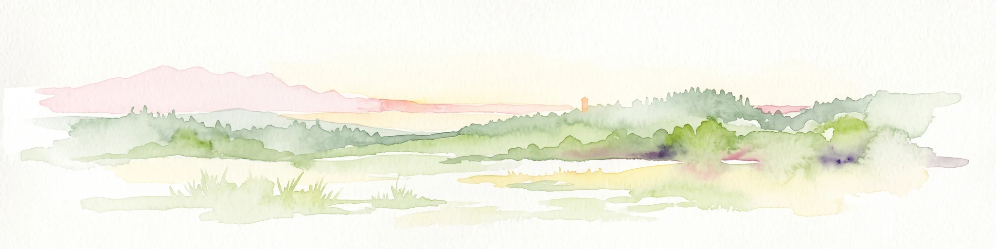
Watercolor painting of a pastoral river valley landscape with soft green hills and wooded ridgelines on a white background.
Protected landscapeBaden-Württemberg
About 5.5 km away#1 closest

Northwest

Oberes Neckartal Protected Landscape: Geography and Mapped Boundaries

A regional conservation area within the Obere Gäue natural region.

Spanning a distinct stretch of the upper Neckar river, Oberes Neckartal acts as a structural conservation corridor in Baden-Württemberg. The area is defined by its deep valley incision, flat agricultural meadows, and steep forest-covered slopes, which create a consistent landscape motif throughout the Freudenstadt district.

Area
6.275 km²
Established
2001
IUCN
V
Relief
Upland
Protected landscapeBaden-Württemberg
About 7.7 km away#2 closest

North

Südhänge des Neckartales, Berghänge des Haugenloches, Alte Bildechinger Steige, Altheimer Tal und angrenzende Hochflächen

Protected Landscape in the Upper Neckar Valley, Baden-Württemberg

This protected area preserves a mosaic of forested slopes, juniper heaths, and agricultural plateaus along the Neckar. It offers a clear view into the cultural history and regional geography of the Obere Gäue in southwestern Germany.

Area
2.62 km²
Established
1965
IUCN
V
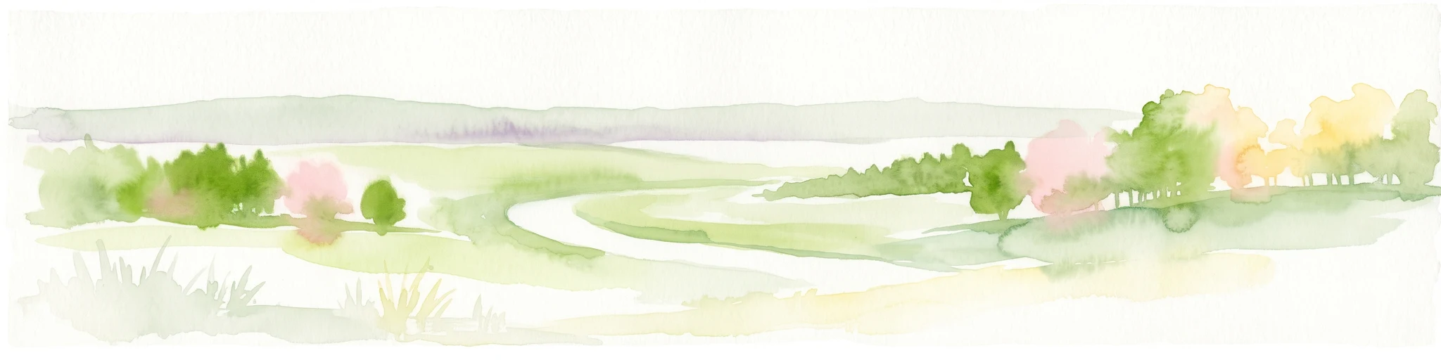
A minimalist watercolor illustration showing a winding river flowing through a soft green landscape with rolling hills in the background and clusters of trees.
Nature reserveBaden-Württemberg
About 11 km away#3 closest

Southeast

Gebiete zwischen Bisingen, Haigerloch und Rosenfeld Nature Reserve and Geographic Context

Fragmented protected terrain in the Swabian Alb foothills

Gain insight into the fifteen separate fragments that constitute this protected nature reserve in Baden-Württemberg. From open limestone meadows to narrow floodplain strips, the area represents a critical mosaic of EU-protected habitat types that demand careful geographic consideration and mapping.

Area
7.53 km²
Established
2019
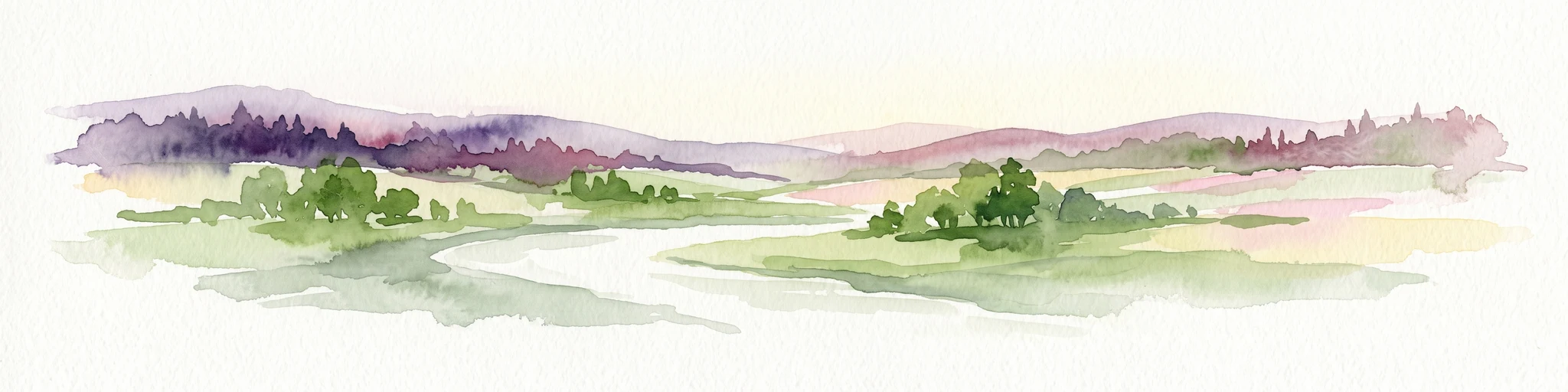
A watercolor painting showing a wide view of a winding river flowing through a lush green valley with distant purple hills and forested ridges.
Protected landscapeLandkreis Tübingen
About 13 km away#4 closest

Northeast

Oberes Neckartal mit den Seitentälern Rommelstal, Starzeltal und Eyachtal Protected Landscape

Geographic landscape analysis of the upper Neckar river valley and its forested tributaries.

Situated within Landkreis Tübingen, this protected landscape is defined by its distinct Muschelkalk geology and the interplay between deep valley slopes and open orchard meadows. The area encompasses the upper Neckar river valley along with the side valleys of Rommelstal, Starzeltal, and Eyachtal. This detailed landscape profile provides insight into the structured natural environment, forest coverage, and fluvial terrain that characterize this region of southwestern Germany.

Area
23.364 km²
Established
1981
IUCN
V
Relief
Upland
Protected landscapeBaden-Württemberg
About 14 km away#5 closest

West

Hachtel und Türnental Protected Landscape: Map, Geography, and Regional Setting in Germany

A traditional Muschelkalk valley and riparian landscape in Baden-Württemberg.

Discover the geographic composition of Hachtel und Türnental, a protected landscape in Dornhan, Baden-Württemberg. This area preserves a fine-grained mosaic of meadows, gallery woodland along the Türnenbach stream, and old fruit orchards that define the traditional rural character of the Obere Gäue plateaus.

Area
0.597 km²
Established
1962
IUCN
V
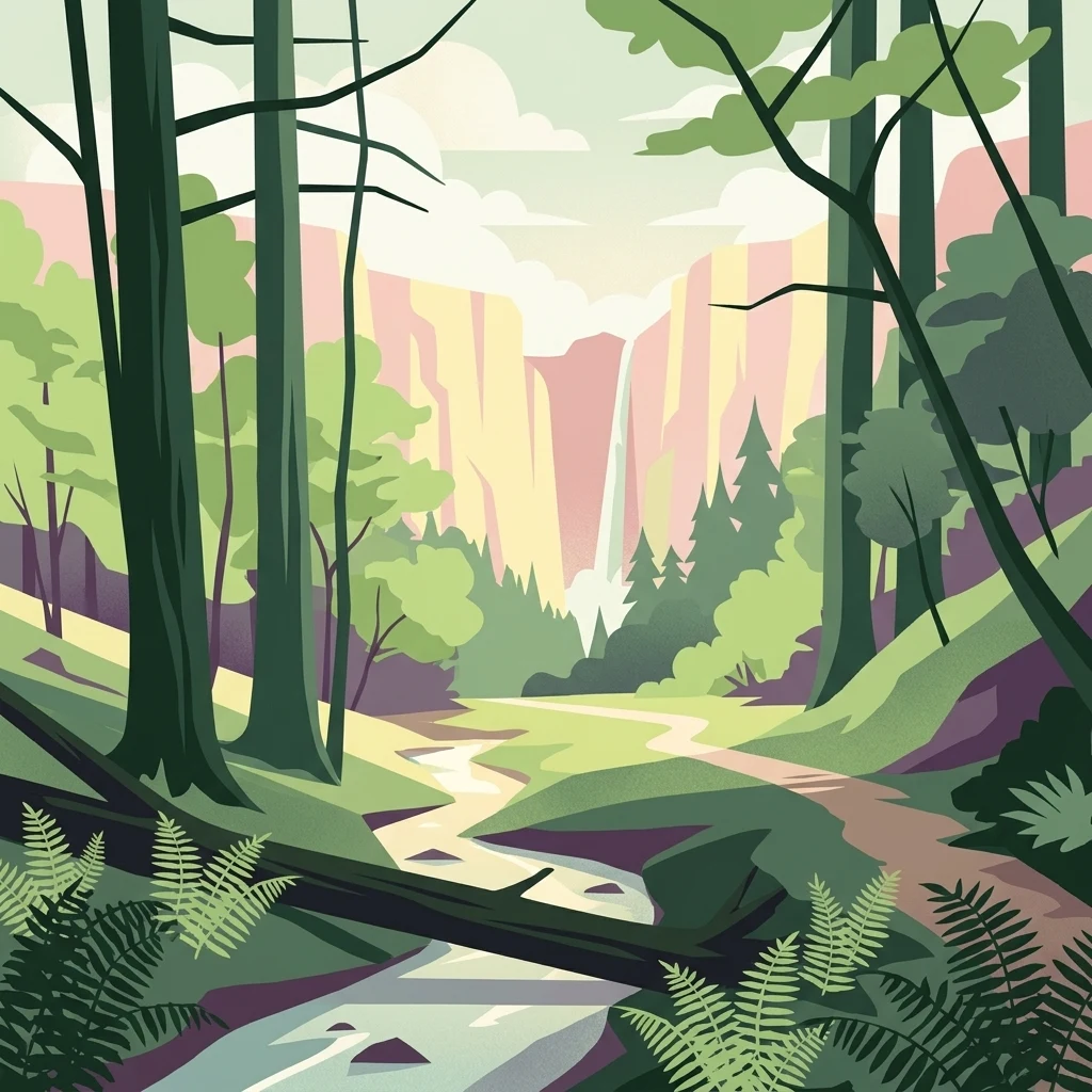
A graphic illustration of a deep forest gorge featuring a winding stream in the foreground, tall trees on both sides, and a cascading waterfall against high cliff walls in the background.
Protected landscapeBaden-Württemberg
About 15 km away#6 closest

South

Waldenbachtal Protected Landscape: A Geographic Profile of a Sandstone Gorge in Baden-Württemberg

Forested Klingen valley and stream-carved terrain mapping

Waldenbachtal serves as an ecologically significant protected landscape within the Rottweil district of Baden-Württemberg. Its map profile highlights a narrow gorge incised into Stubensandstein, defined by a distinct coniferous forest cover and linear stream drainage. This site provides a clear view into the region's Middle Keuper geological history and valley-based conservation patterns.

Area
0.149 km²
Established
1982
IUCN
V
Watercolor painting of a green valley with a winding river and a small group of trees under a light sky.
Protected landscapeZollernalbkreis
About 17 km away#7 closest

East

Mittleres Starzeltal Protected Landscape: Mapping the Geography of the Zollernalbkreis District

A detailed look at the Starzel river valley and forest mosaic.

The Mittleres Starzeltal protected landscape represents a significant river corridor in the Zollernalbkreis district. This area spans through Hechingen and Bisingen, characterized by its traditional orchard meadows and dense forest slopes that frame the middle Starzel valley. Explore the boundaries and topographic features that define this protected territory within the Swabian Alb conservation network.

Area
12.454 km²
Established
1963
IUCN
V
Relief
Upland
Abstract watercolor illustration of rolling green hills with soft yellow and pink washes and a winding path through a valley
Protected landscapeBaden-Württemberg
About 17 km away#8 closest

Southwest

Neckartal mit Seitentälern von Rottweil bis Aistaig Protected Landscape Map and Regional Context

Protected river valleys and plateau topography in Baden-Württemberg

This protected landscape in Baden-Württemberg features a sequence of twenty dramatic meander loops where the Neckar river cuts 140 meters into the bedrock. The protected area offers a complex geography of steep valley slopes, incised tributary notches, and historic castle-crowned ridges that reveal the evolution of the Obere Gäue terrain.

Area
16.05 km²
Established
1953
IUCN
V

Common questions about visiting, size, designation, and location context for Heselgraben

Heselgraben FAQs for park facts, access, geography, and protected area context

Find quick answers about Heselgraben, including protected-area facts, park geography, trail and visitor context, and how the park fits into its surrounding country and regional landscape.
MoriAtlas Explorer

Continue Your Protected Areas Search Across the Global Atlas

Deepen your exploration by continuing the structured search for national parks and protected areas worldwide. Utilize the comprehensive filtering capabilities to compare different conservation landscapes and refine your understanding of global park geography. Discover more about the distribution and characteristics of protected natural areas.

Global natural geography