
Why Hexbachtal Nature Reserve stands out
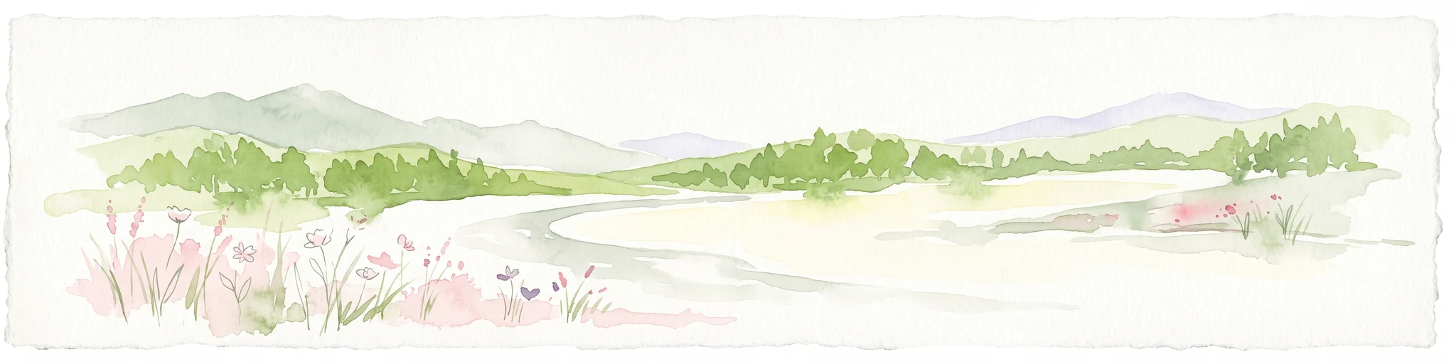
The Hexbachtal is best known for being a surviving strip of semi-natural valley landscape within the densely built-up Ruhr conurbation. Its core identity revolves around the meandering Hexbach and its associated floodplain forest, with black alder, common ash, white willow, and crack willow along the streambanks, wet meadows rich in valerian and meadowsweet in the floodplain, and threatened giant horsetail along tributary brooks. Beyond its ecology, the valley is also known as a planning history landmark. The Hexbachtal became one of the most prominent local symbols of the successful resistance against the planned Bundesautobahn 31 through the northern Ruhr area, a campaign that ultimately led to the autobahn being removed from the federal transport plan in 1980. Together with the neighboring Winkhauser Tal, the Hexbachtal has long been treated as a representative example of the regional green belt idea that traces back to the 1920 Siedlungsverband Ruhrkohlenbezirk.
Hexbachtal Nature Reserve history and protected-area timeline
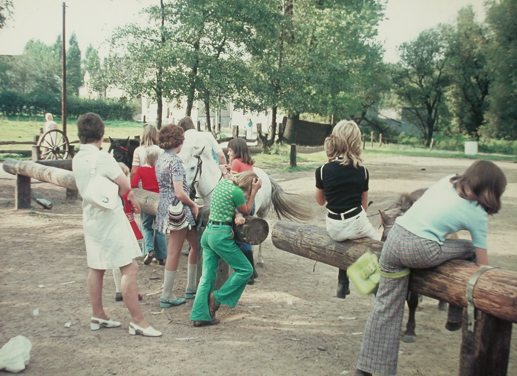
The protection history of the Hexbachtal reaches back to the beginning of the twentieth century. When the formerly independent communities were merged into larger municipalities through incorporation treaties, the preservation of the local Siepen valleys, including the Hexbachtal, was explicitly written into the agreements. The establishment of the Siedlungsverband Ruhrkohlenbezirk in 1920 further strengthened this commitment, as the SVR was created precisely to prevent uncontrolled urban sprawl and to preserve open green and agricultural land between the cities of the Ruhr coal district. From 1923 onward, the SVR purchased properties to keep them free of buildings, securing the corridor that would later become Regional Green Corridor B in the regional development plan of 1966.
Scientific recognition of the valley's ecological value followed in the 1970s. In 1973, forest scientist Wolfram Pflug produced a landscape-ecological model report for the Hexbachtal, and in 1978 this was expanded into a more detailed ecological model study. Both reports concluded that the valley was a landscape and ecological feature worth preserving, an interpretation that has remained uncontested in subsequent planning discussions.
The valley also became a focal point of environmental resistance. In 1966, the route of the planned Bundesautobahn 31 (originally designated A 113) from Emden to Bonn was pushed through the Hexbachtal, with the Ruhr-area section placed in the highest priority category. Construction was scheduled to begin in October 1973, but on the final day of the public disclosure period, a local citizens' initiative submitted hundreds of objections. Although the immediate goal was only to shift the route out of the valley floor, the movement grew along the proposed corridor and eventually formed the Aktionsgemeinschaft A 31, which aimed to stop the highway altogether. Independent environmental studies commissioned by federal and state authorities helped shift political opinion, and in 1980 the autobahn was formally removed from the federal transport plan.
Following this success, the valley remained contested. Subsequent decades saw proposed plans for a large prison complex in 1978, an RWE substation in 1987, an 18-hole golf course in 1989, a parcel distribution center in 1991, a refugee accommodation facility for 600 people in 1992, and extensive canal construction work through the floodplain forest in 2000. In each case, public opposition supported by environmental expertise was able to identify alternative solutions, sparing the landscape. In December 2015, the 1992 refugee accommodation plan briefly resurfaced against the backdrop of rising refugee numbers, but was halted after strong civic resistance and the discovery of flawed numerical projections by the city of Essen. In February 2005, the most ecologically sensitive stream sections were finally designated as a formal nature reserve under the code NSG MH-005.
Hexbachtal Nature Reserve landscape and geographic character
The Hexbachtal is a narrow, north-south oriented valley some five kilometers long that cuts from the Ruhr-Emscher watershed down into the flatter Emscher lowland. In its upper reaches, the Hexbach incises relatively steeply into the surrounding terrain, producing distinct valley slopes; once it reaches the Emscher floodplain near the watershed village of conditions, the gradient flattens and the stream slows down, allowing it to meander and form small side channels.
A roughly 100-meter-wide strip along the stream is forested, contrasting with the broader open valley floor that covers around 2.5 square kilometers. This open area is dominated by agricultural use, primarily arable land on the higher, loess-covered slopes west of the stream, and former pasture on the wetter valley floor. Along the western rim of the valley, a ridge of fertile loess deposited during the last ice age continues to support traditional farming between Wennemannstraße and Voßkuhle. Toward the north, near the Dümptener Straße, the valley opens further toward the Rhein-Herne Canal and the Emscher, where the landscape becomes flatter and more industrial in character.
Hexbachtal Nature Reserve ecosystems, habitats, and plant life
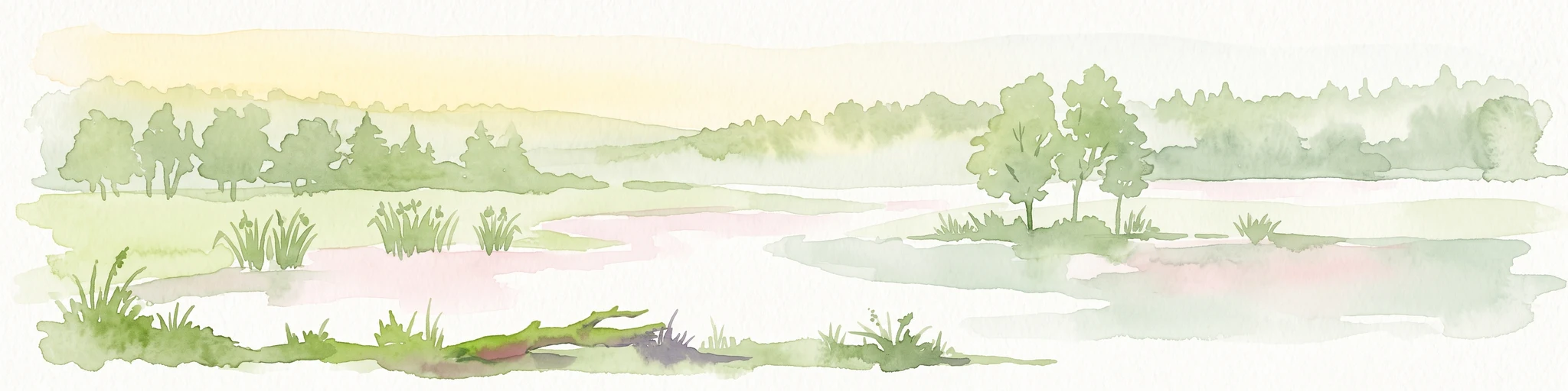
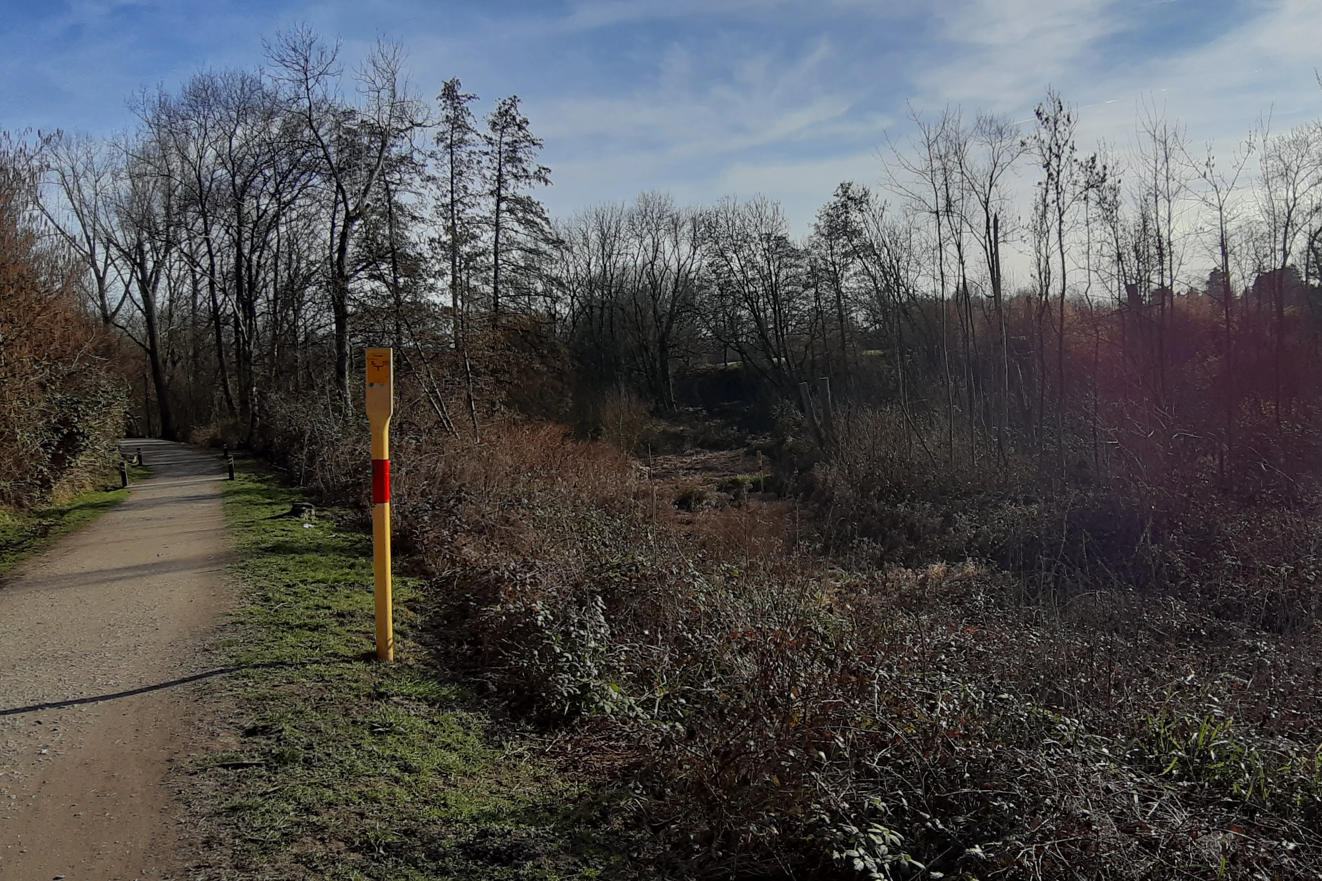
Ecologically, the Hexbachtal is defined by the contrast between its cultivated slopes and its wetland stream corridor. The valley's defining habitat is the floodplain forest along the Hexbach, dominated by black alder, common ash, and individual white willows and crack willows that tolerate regular flooding. In the wet meadows of the floodplain, large stands of common valerian and meadowsweet have established themselves, accompanied by tall-herb ruderal vegetation. The valley also supports springs, seepage zones, and small tributaries that feed the Hexbach from the south.
In the northern section, the Hexbach flows through former pasture land that had been abandoned and later, after the Second World War, afforested with fast-growing poplars. Over time, these poplars have created a young floodplain woodland that helps stabilize the riparian ecosystem. Below the feeders of the two southern tributaries, populations of giant horsetail, classified as threatened in North Rhine-Westphalia, add to the valley's botanical significance. North of the Hexberg road, a former horse paddock has been allowed to revert to fallow, allowing the Hexbach to shift its course and create a dynamically evolving habitat of high value for both flora and fauna.
Hexbachtal Nature Reserve wildlife and species highlights
The Hexbachtal's wildlife profile is shaped by its mosaic of floodplain forest, wet meadows, springs, and traditionally managed pollarded trees. Among the most characteristic features are the pollarded willows and pollarded ashes in the lower Hexbachtal north of Hexberg road, traditional elements of the historic rural landscape once used for fencing and to stabilize banks. These trees now host roughly 400 different animal species, contributing substantially to local biodiversity and providing habitat for species that, in some cases, are otherwise rare in the surrounding region.
The combination of flowing water, wet meadows, and structurally rich floodplain woodland supports a diverse insect, amphibian, and bird community throughout the stream corridor. The dynamic flooding and meander zone north of the Hexberg road, where the Hexbach is now allowed to move more freely, is particularly important as a refuge and breeding area for wildlife within the broader urban fabric of the Ruhr area.
Hexbachtal Nature Reserve conservation status and protection priorities
The conservation significance of the Hexbachtal rests on its role as a regionally important habitat corridor embedded in one of Europe's densest urban landscapes. Its designation as a nature reserve in February 2005 specifically aims to maintain and restore the natural balance of the stream valley as a biotope-connecting element of regional importance, to conserve and develop valuable biotopes for endangered animal and plant species, and to preserve the structurally diverse landscape of valley, woodland, spring areas, and wet meadows as a distinctive geomorphological feature.
Beyond its formal protection status, the valley embodies a long-standing model of integrated green-belt planning in the Ruhr area. Decades of institutional purchase of land by the SVR/Landschaftsverband, combined with repeated expert studies such as Pflug's 1973 landscape-ecological report and the 1978 ecological model study, have built up a robust evidence base for its protection. A pilot renaturation project by the Emschergenossenschaft has also begun to restore the stream's natural dynamics, a process that took on additional importance as the broader Emscher system was progressively rehabilitated.
Hexbachtal Nature Reserve cultural meaning and human context
The Hexbachtal carries a distinctive cultural heritage that reflects the rural and monastic roots of the region as well as the more recent planning culture of the Ruhr area. The name Hexbach is derived from Hexel, an older word for hornbeam, while the alternative name Läppkes Mühlenbach refers to a mill operated by the Essen Abbey in the sixteenth century; the name comes from strips of cloth (Läppkes) that were hung up to flutter in the wind during a legal dispute over the mill's boundary.
Culturally, the pollarded willows and pollarded ashes in the lower Hexbachtal are remnants of traditional farming practices, where such trees supplied fencing material, firewood, and structural elements for pastures and fields. Beyond this rural heritage, the Hexbachtal has also become a symbol of civic engagement in the Ruhr area. Local citizens' initiatives and the broader Aktionsgemeinschaft A 31 turned the valley into one of the most prominent local cases of successful non-violent environmental resistance against large-scale infrastructure planning, a legacy that continues to shape how residents in Mülheim, Essen, and Oberhausen relate to the landscape.
Top sights and standout views in Hexbachtal Nature Reserve
The Hexbachtal stands out for combining ecological richness with strong historical and cultural resonance inside the Ruhr conurbation. Highlights include the meandering Hexbach and its associated floodplain forest, the large wet-meadow stands of valerian and meadowsweet, the threatened giant horsetail populations along the southern tributaries, and the network of pollarded willows and ashes that sustain around 400 animal species. The valley is equally notable as a planning landmark, both as one of the founding examples of the Ruhr's regional green belt and as the landscape saved from the planned Bundesautobahn 31 in 1980.
Best time to visit Hexbachtal Nature Reserve
The Hexbachtal is a lowland valley landscape within the Ruhr area, so its character changes primarily with the seasons in a temperate northwest European climate. Spring and early summer are typically the most attractive periods, when the floodplain forest greens up, the wet meadows along the Hexbach come into bloom with valerian and meadowsweet, and the valley is at its most wildlife-rich.
Late summer and early autumn also offer pleasant conditions for walking the open agricultural areas, when the harvest transforms the valley floor's cultivated strips and the lower sun angles emphasize the valley's relief. Winter visits reveal the structural character of the landscape more clearly: the open stream corridor with its pollarded trees and meanders stands out without dense foliage, though visitors should expect cooler, damper conditions typical of the region.