
Mori Atlas logo
Nature reserveHildener Stadtwald, Bereich Sandbach-Krebsbach

A detailed geographic look at the meandering sandy brooks and alder swamp forest ecosystems within Nordrhein-Westfalen.

Hildener Stadtwald, Bereich Sandbach-Krebsbach Protected Nature Reserve and Wetland Landscape Atlas

(Naturschutzgebiet Hildener Stadtwald, Bereich Sandbach-Krebsbach)

The Hildener Stadtwald, Bereich Sandbach-Krebsbach nature reserve encompasses twenty-seven hectares of ecologically significant woodland and riparian corridors. This protected area features a network of near-natural meandering streams, including the Hoxbach and Sandbach, which weave through mossy alder swamp forests and rare bog woodland habitats. Situated within the Bergische Heideterrasse, the site provides a vital biotope corridor that links wet heath fragments and oak-birch woodland in the Mettmann district.

wetlandalder swamp forestmeandering streamlowland heathbog woodlandmire
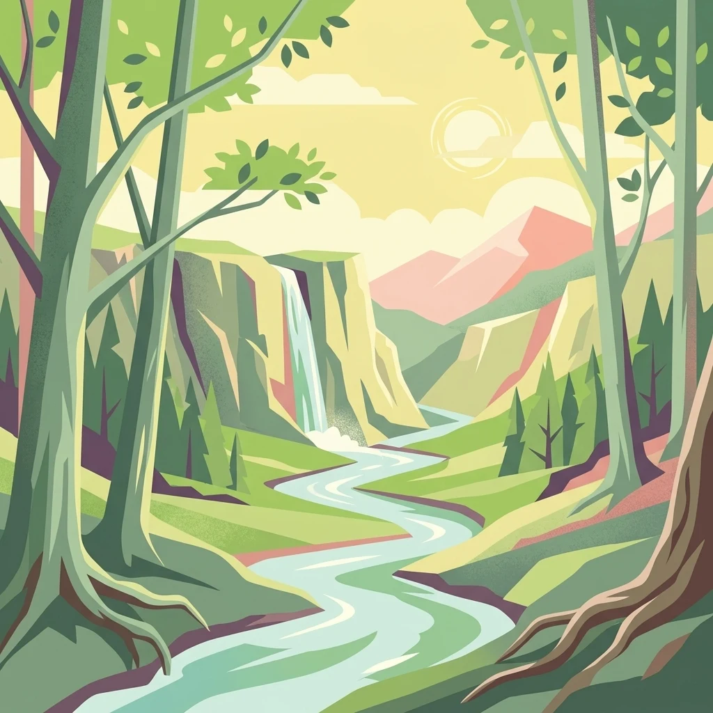
A graphic illustration showing a winding river flowing through a green forest valley toward a waterfall and distant mountains at sunset.

Hildener Stadtwald, Bereich Sandbach-Krebsbach

Nature reserve

Park overview

Structured park overview, official facts, and landscape profile for Hildener Stadtwald, Bereich Sandbach-Krebsbach

Hildener Stadtwald, Bereich Sandbach-Krebsbach park facts, protected area profile, and essential visitor context

Review the core facts for Hildener Stadtwald, Bereich Sandbach-Krebsbach, including designation, size, terrain, visitor scale, habitats, and operating context in one park-focused overview.

About Hildener Stadtwald, Bereich Sandbach-Krebsbach

Hildener Stadtwald, Bereich Sandbach-Krebsbach is a compact, ecologically dense nature reserve on the Bergische Heideterrasse, west of the Cologne-Düsseldorf metropolitan area. Although it covers only 27 hectares, it contains a remarkably diverse mosaic of wetland, forest, and heath habitat types, centred on a pair of parallel, near-natural sandy brooks, the Hoxbach and the Sandbach, with the Krebsbach joining the Sandbach at the locality of Kesselsweier. The reserve lies in the Hildener Stadtwald, the municipal forest of Hilden, immediately east of the A3 motorway.

The defining physical framework of the area is hydrological. The two brooks run westward and feed the Stadtwaldteich, a forest pond that doubles as a flood-retention basin for the urban area around Hilden. Their banks are characterised by small undercut sections, miniature sand banks, and alternating slow- and fast-flowing reaches, producing the kind of habitat heterogeneity that supports rich aquatic and bankside life. Where the brooks pass through seepage-influenced ground, the surrounding vegetation shifts from alder forest into true alder carr (Erlenbruchwald), with carpets of Sphagnum moss, sedges, marsh yellow-flag (Iris pseudacorus), and, in the wettest places, royal fern and marsh fern.

Beyond the brook corridors, the reserve extends into dry and moist oak-birch woodland with scattered old pines, bracken and purple moor-grass in the ground layer, and a stand of red oak along the more disturbed southern shore of the Stadtwaldteich. West of the pond, the alder forest gives way to a more open oak woodland; east of the Hoxbach, a separate block of alder carr continues the wetland chain. Together, these forest and mire habitats preserve fragments of the once much larger heath and bog landscape of the Bergische Heideterrasse, making the reserve an important stepping stone in the regional biotope network linking the Ohligser Heide, the Further Moor, and eventually the Wahner Heide to the south-east.

As a formally protected area, the site is classified under the German Naturschutzgebiet framework as well as under the European Union Habitats Directive (FFH), with the surrounding Natura 2000 site, Hilden – Spörkelnbruch, extending the protected footprint to roughly 108 hectares. Official management objectives focus on preserving and restoring remaining fragments of wet heath, on developing species- and Sphagnum-rich bog woodland along natural stream courses, and on optimising the heath pond with its terrestrialisation zones. Despite its small size and its proximity to a major motorway, the reserve remains ecologically significant for its old-growth alder stands, its mire flora, and its role as a refugium of the historic Bergische Heideterrasse landscape.

Quick facts and research context for Hildener Stadtwald, Bereich Sandbach-Krebsbach

Hildener Stadtwald, Bereich Sandbach-Krebsbach is a 27 hectare nature reserve located in the Hildener Stadtwald east of Hilden, in the Kreis Mettmann of North Rhine-Westphalia, Germany. It carries the official designation ME-033, is categorised as an IUCN Category IV protected area, and is part of the Natura 2000 site DE-4807-302, known as Hilden – Spörkelnbruch, which covers approximately 108 hectares.

First designated in 1938 and reconfirmed in the 2012 landscape plan, the reserve is administered by the Lower Landscape Authority (Untere Landschaftsbehörde) of Kreis Mettmann. Its core features are the parallel Hoxbach and Sandbach brooks, the Krebsbach tributary, the Stadtwaldteich pond, and surrounding alder carrs and oak-birch forests. The reserve connects ecologically with the Ohligser Heide, Further Moor, and the larger Bergische Heideterrasse heath landscape stretching toward the Wahner Heide.

Protection and recognition

Documented terrestrial protection scope, designation year, and official recognition records

Hildener Stadtwald, Bereich Sandbach-Krebsbach Protection Status and Designation History

Hildener Stadtwald, Bereich Sandbach-Krebsbach holds a documented terrestrial protection status established in 2012. Records outline the official designation history and administrative scope without imported international recognition sources.

Protection details

Protection scope
Terrestrial
Designated year
2012
Transboundary protection
No
WDPA ID
163673
Park context

Deeper park guide and search-rich context for Hildener Stadtwald, Bereich Sandbach-Krebsbach

Hildener Stadtwald, Bereich Sandbach-Krebsbach history, landscape, wildlife, and travel context

Explore Hildener Stadtwald, Bereich Sandbach-Krebsbach through its history, landscape character, ecosystems, wildlife, conservation priorities, cultural context, and seasonal travel timing in a structured park guide built for atlas discovery and search intent.

Why Hildener Stadtwald, Bereich Sandbach-Krebsbach stands out

The reserve is best known for its near-natural, meandering sandy lowland brooks, particularly the Hoxbach and Sandbach, flowing through classic alder swamp forest (Erlenbruchwald) with old, multi-stemmed alder trees. It is also recognised for its Sphagnum-rich bog woodland, rare mire plants such as round-leaved sundew (Drosera rotundifolia) and lesser skullcap (Scutellaria minor), and for forming part of the contiguous heath and bog corridor of the Bergische Heideterrasse. A defining character of the site is the close interweaving of wet and dry habitats within a relatively small footprint: the streams, the Stadtwaldteich with its fringe of alder carr, sedge- and iris-rich seepage areas, wet oak-birch woodland, and surviving fragments of wet heath and dry heath. This patchwork of contrasting microhabitats, set within an intensively used peri-urban forest, gives the reserve unusually high ecological value for its size.
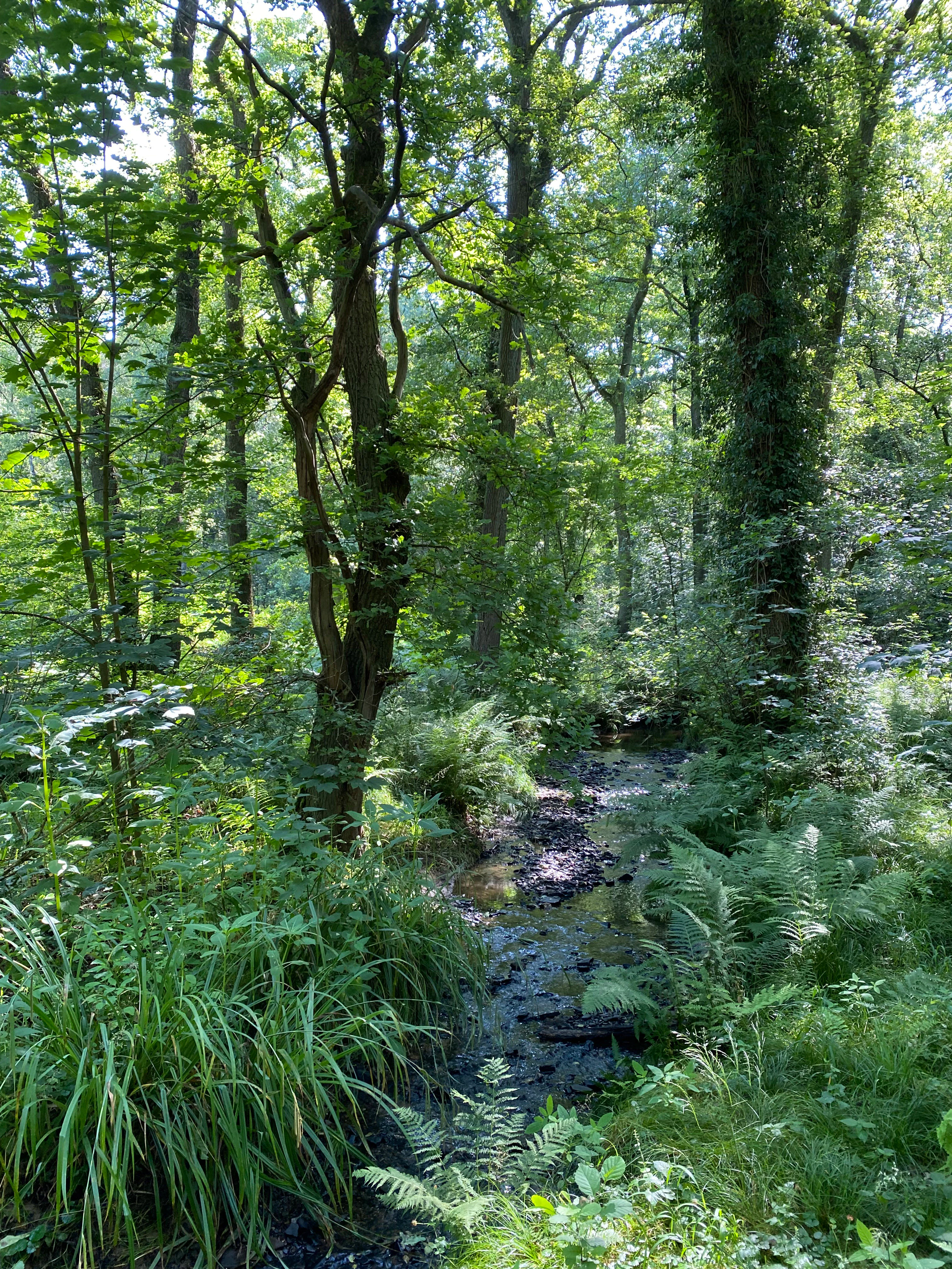
A small, shallow stream flows through a dense, green deciduous forest with ferns in the foreground and tall, ivy-covered tree trunks.
A shaded stream winding through the alder carr forest of the Hildener Stadtwald.

Hildener Stadtwald, Bereich Sandbach-Krebsbach history and protected-area timeline

The area was first placed under formal nature protection in 1938, making it one of the older designated reserves in the Kreis Mettmann. Its protection status was re-anchored in the 2012 landscape plan (Landschaftsplan) of the Kreis Mettmann, which continues to serve as the binding framework plan for the reserve.

Through its integration into the Natura 2000 network as part of the FFH site DE-4807-302, Hilden – Spörkelnbruch, the area gained a broader European conservation profile. The reserve is administered by the Untere Landschaftsbehörde, the lower landscape authority of Kreis Mettmann, which oversees its management within the broader Hildener Stadtwald complex, a network that includes several adjacent Naturschutzgebiete such as Hildener Heide Schönholz and Hildener Stadtwald, Bereich Biesenbach.

Hildener Stadtwald, Bereich Sandbach-Krebsbach landscape and geographic character

The landscape of the reserve is shaped by two parallel, west-flowing sandy lowland brooks, the Hoxbach and the Sandbach, which converge hydrologically around the central Stadtwaldteich pond. Both streams are described as near-natural and meandering, with small bank undercuts, miniature sand banks, and a varied flow pattern that alternates between slow pools and faster riffles. The finely textured stream topography, set within the broader sandy terrace of the Bergische Heideterrasse, gives the area its distinctive low-relief but hydrologically dynamic character.

Surrounding the brooks, the terrain includes seepage zones and shallow depressions that support alder swamp and alder carr, while slightly drier rises carry moist and dry oak-birch woodland with scattered older pines and, locally, a stand of red oak near the more disturbed banks of the Stadtwaldteich. West of the pond the forest opens into a lighter oak woodland, providing a visible transition from wet carr to drier deciduous forest within a short distance. The Stadtwaldteich itself functions both as a natural pond and as a flood-retention basin, and its quiet margins are fringed by alder carr and tall beech trees, lending the scene a strongly forested, enclosed character despite the reserve's small footprint.

Although the surrounding region is heavily shaped by infrastructure and urban edges, with the A3 motorway cutting through the municipal forest nearby, the core of the reserve retains an almost secluded forest-stream atmosphere, reinforced by old, often multi-stemmed alders, dead wood in the brook channels, and a dense network of moss- and sedge-dominated seepage vegetation along the banks.
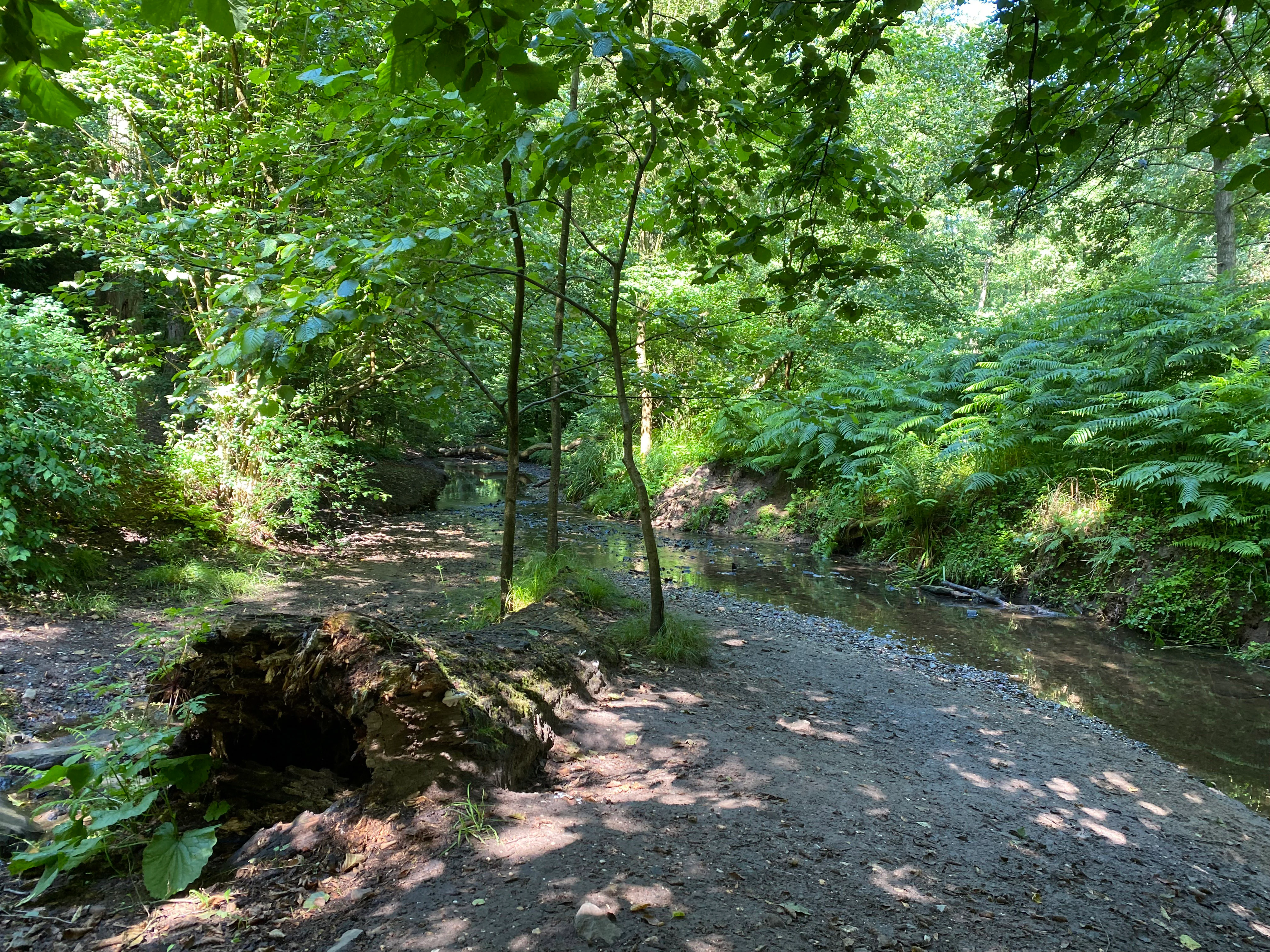
A narrow, shallow stream winds through a dense green forest, with a gravelly bank in the foreground and abundant ferns and leafy trees surrounding the water.
The Sandbach stream flowing through the lush, shaded forest environment of the Hildener Stadtwald.

Hildener Stadtwald, Bereich Sandbach-Krebsbach ecosystems, habitats, and plant life

Ecologically, the reserve sits at the intersection of stream, swamp, bog, and heath habitats, an unusually rich combination for a 27 hectare site. The streams and their banks create a sequence of aquatic, semi-aquatic, and terrestrial microhabitats: open water in the Stadtwaldteich, meandering sandy brook channels with dead wood and undercut banks, muddy and peaty seepage zones, and permanently waterlogged alder carr with floating mats of Sphagnum moss.

The woodland structure is similarly varied. Old, often multi-stemmed alders dominate the wet zones, sometimes mixed with downy birch, and in some cases the alder itself is planted, reflecting past management. Drier ground carries oak-birch forest with old pines, bracken, and purple moor-grass, while the more disturbed south bank of the pond carries a stand of red oak. Edges between forest and stream are characterised by tall herbs such as marsh yellow-flag (Sumpf-Schwertlilie), sedges, marsh marigold in spring, and, on drained patches, brambles and ferns. Fragments of wet heath (Feuchtheide) and dry heath (Trockenheide), together with wet grassland, are preserved on the reserve as relicts of the once much more open Bergische Heideterrasse landscape.

Within this matrix, the standout ecological features are the Sphagnum-rich alder carrs that support bog plants such as round-leaved sundew (Drosera rotundifolia) and marsh violet, seepage areas with purple moor-grass and sedges, and a remarkable stand of royal fern and marsh fern in a permanently waterlogged carr southwest of the Stadtwaldteich. These habitat types place the reserve firmly within the tradition of lowland mire and heath conservation in the Bergisches Land.
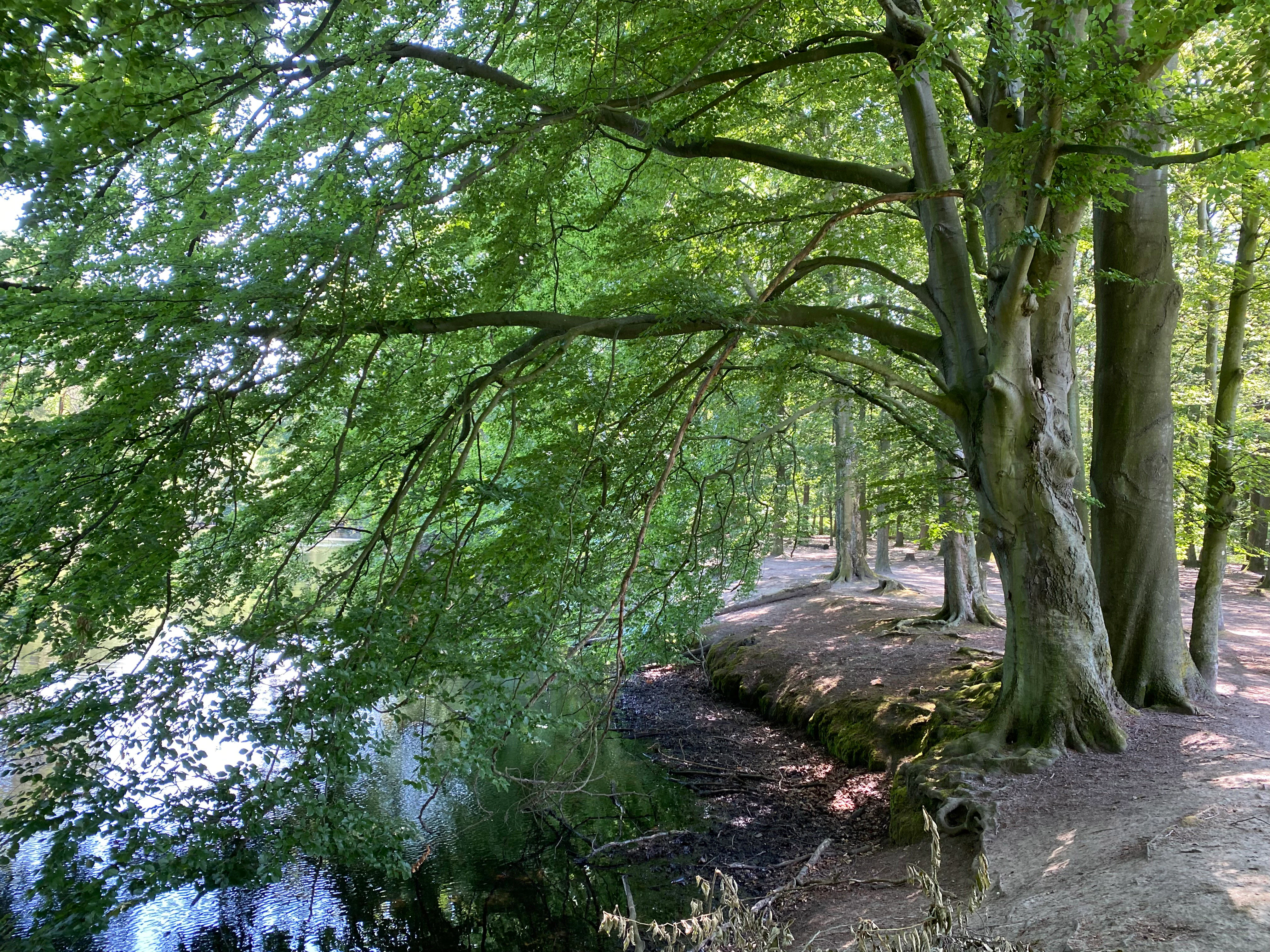
A peaceful forest path runs along the edge of a reflective pond, with large, mature beech trees casting dappled shade over the scene.
A shaded path along the edge of the pond in the Hildener Stadtwald nature reserve, framed by overhanging beech branches.

Hildener Stadtwald, Bereich Sandbach-Krebsbach wildlife and species highlights

The wildlife profile of the reserve is closely tied to its wetland and woodland mosaic. The brooks, ponds, seepage zones, and carr habitats support the kind of invertebrate and amphibian communities expected of near-natural lowland forest streams, while the surrounding oak-birch woodland provides structural diversity for woodland fauna. The reserve is explicitly recognised as a component of the Natura 2000 network, underscoring its importance at the European level for habitats rather than individual species.

Although the German source material does not enumerate specific vertebrate species, the combination of old alder stands, dead wood in the brook channels, standing water in the Stadtwaldteich and in the permanently waterlogged carr southwest of the pond, and the surrounding extensive forest, makes the area ecologically suitable for typical woodland and wetland birdlife, amphibians associated with forest pools, and a range of stream-dependent invertebrates. The presence of carnivorous plants such as round-leaved sundew also indicates a rich micro-invertebrate fauna in the boggy zones. The reserve should be understood primarily as a habitat-based conservation site, where the wildlife interest lies in the integrity of the habitat mosaic rather than in any single charismatic species.
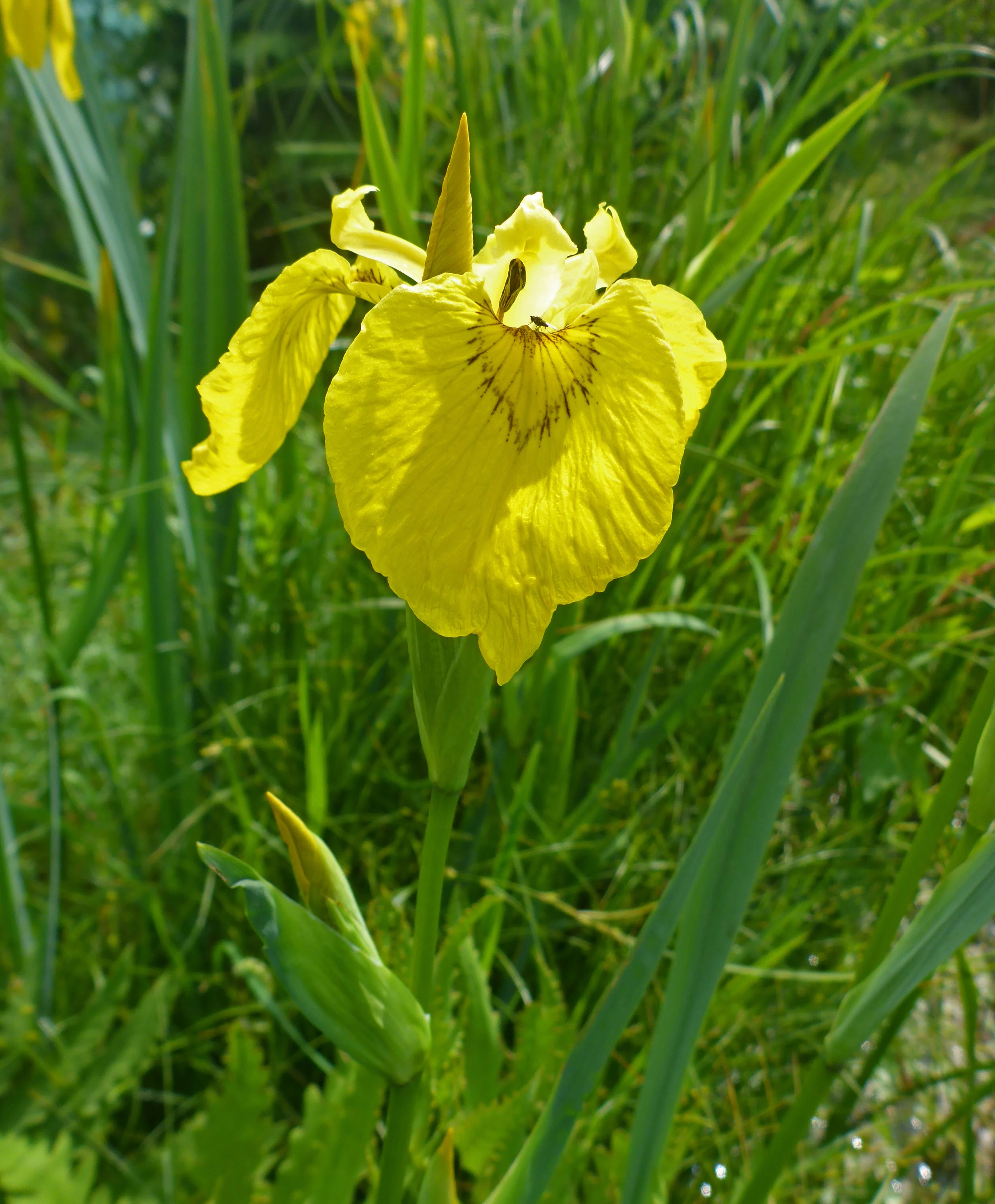
A close up view of a single bright yellow flag iris flower in full bloom, with a green stem and long, narrow green leaves, surrounded by grassy vegetation in a natural setting.
A bright yellow flag iris in bloom within the wetlands of Hildener Stadtwald.

Hildener Stadtwald, Bereich Sandbach-Krebsbach conservation status and protection priorities

The reserve is formally designated as a Naturschutzgebiet under German nature conservation law and as part of the Natura 2000 network via the FFH site DE-4807-302, Hilden – Spörkelnbruch, which extends the protected area to approximately 108 hectares. This dual national and European designation reflects the site's importance for protecting habitat types that are now rare in the densely populated Bergisches Land.

The official conservation objectives focus on three priority themes: preserving and restoring fragments of wet heath (Feuchtheide); developing species-rich and Sphagnum-rich bog woodland (Bruchwälder) along natural stream courses; and optimising the condition of the Stadtwaldteich heath pond together with its terrestrialisation zones. Each of these targets addresses a habitat type that has declined sharply across the Bergische Heideterrasse through drainage, agriculture, afforestation, and urbanisation.

At the landscape scale, the reserve functions as a critical node in the regional biotope corridor linking the Ohligser Heide, the Further Moor, and the broader Bergische Heideterrasse, a sandy terrace that continues east towards the Wahner Heide. By maintaining near-natural stream dynamics, old alder stands, and relict heath patches, the area helps sustain ecological connectivity across a landscape otherwise fragmented by motorways, settlements, and intensive forestry. Recognised conservation challenges include trampling damage along the brook banks from the dense local path network and from free-running dogs, as well as disturbance to the south shore of the Stadtwaldteich, which management continues to address within the framework of the Kreis Mettmann landscape plan.

Hildener Stadtwald, Bereich Sandbach-Krebsbach cultural meaning and human context

The reserve sits within the Hildener Stadtwald, the historic communal woodland of the town of Hilden, and forms part of a much older landscape identity rooted in the Bergische Heideterrasse. Although the surviving habitat fragments are now small, the underlying terrain and stream network reflect a long history of interaction between local communities, forestry, and the once more open heath and mire landscape of this part of North Rhine-Westphalia.

The name Sandbach links the reserve directly to the local rural heritage of the area, with Kesselsweier marking a historic settlement locality at the confluence of the Krebsbach with the Sandbach. The mosaic of wet and dry habitats that the reserve preserves can be read as a remnant of the cultural landscape that once supported traditional uses such as grazing, peat cutting, and small-scale woodland management on the Bergische Heideterrasse.
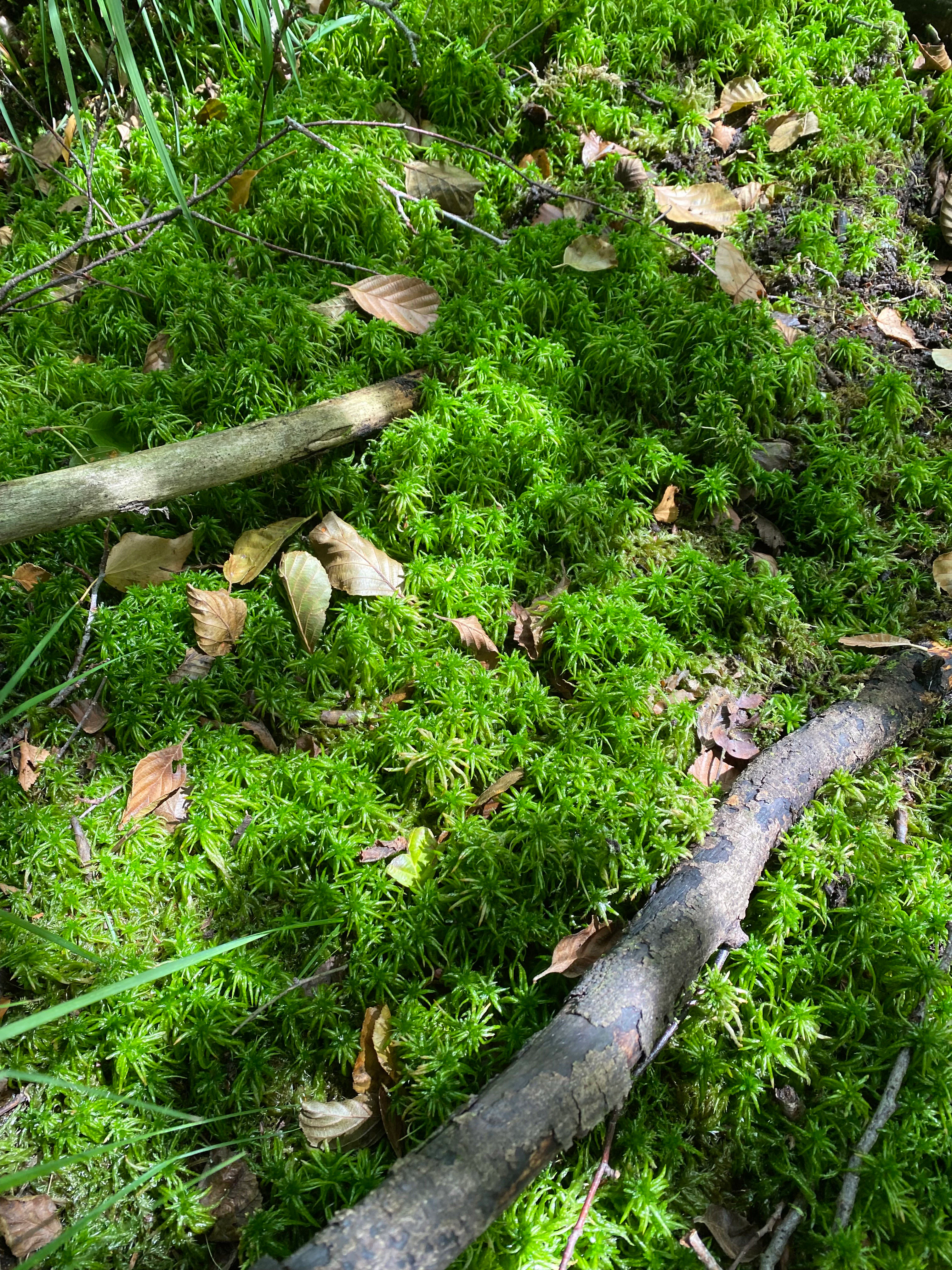
A carpet of bright green Sphagnum moss blankets the forest floor, interspersed with fallen brown tree leaves and small branches.
A close up view of vibrant green peat moss covering the forest floor in the nature reserve.

Top sights and standout views in Hildener Stadtwald, Bereich Sandbach-Krebsbach

Among the standout features of the reserve are the parallel, near-natural, meandering sandy brooks of the Hoxbach and Sandbach, the Krebsbach tributary joining the Sandbach at Kesselsweier, and the central Stadtwaldteich pond that also functions as a flood-retention basin. Equally distinctive are the old, often multi-stemmed alder stands in the Erlenbruchwald, some containing Sphagnum moss carpets, royal fern, and marsh fern, and best developed west of the Hoxbach and in the middle reaches of the Sandbach.

The reserve is also notable for its rare and characteristic bog and mire flora, including round-leaved sundew (Drosera rotundifolia), lesser skullcap (Scutellaria minor), marsh violet, sedge communities, and the spring display of marsh marigold and yellow-flag iris along the Hoxbach. As part of the Natura 2000 site Hilden – Spörkelnbruch and the broader Bergische Heideterrasse biotope corridor, it provides a small but ecologically rich refugium of heath, carr, and woodland in an otherwise heavily urbanised region.
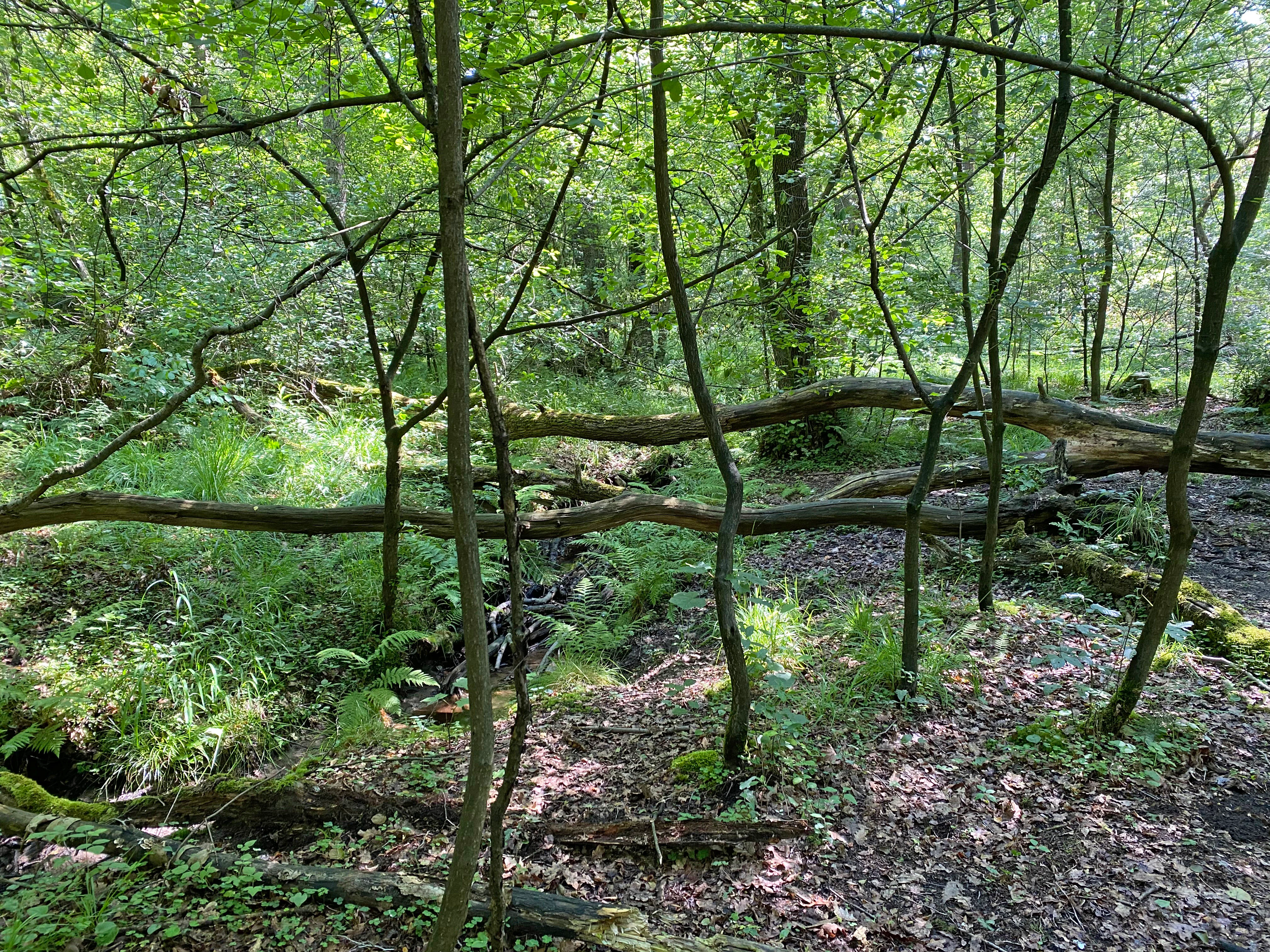
A swampy forest area featuring thin trees, ferns, and several fallen logs lying horizontally across the scene.
Alder swamp forest environment with fallen logs and lush undergrowth.

Best time to visit Hildener Stadtwald, Bereich Sandbach-Krebsbach

Spring is the most rewarding season for exploring the reserve, when the brook banks and seepage zones come alive with marsh marigold (Sumpf-Dotterblume) and the bright yellow flowers of marsh yellow-flag (Sumpf-Schwertlilie), and the alder carrs show a distinctive bright green flush. Early summer highlights the sedge- and tall herb-rich seepage vegetation and the rich ground flora of the oak-birch woodland, while damp patches expose Sphagnum and sundew communities.

Late summer and early autumn offer quieter conditions for observing the streams, dead wood in the brook channels, and the broader forest structure of the Stadtwald, with the beech trees around the Stadtwaldteich taking on character. In winter, the leafless canopy reveals the meandering course of the Sandbach and Hoxbach, the old multi-stemmed alders, and the topography of seepage zones and wet woodland. Any visit benefits from staying on established paths; the site is small, heavily used for local recreation, and sensitive to trampling along the brook banks.

Monthly climate preview

Long-term representative temperature and precipitation patterns across twelve recorded months

Hildener Stadtwald, Bereich Sandbach-Krebsbach Climate Normals and Annual Weather Rhythm

Representative coordinate records show measured monthly temperature variations alongside stable precipitation averages for Hildener Stadtwald, Bereich Sandbach-Krebsbach. Analyzing the complete twelve-month climate profile reveals comprehensive annual meteorological data and detailed long-term averages.
Annual mean10 °C
1 °C19 °C
Jan
Feb
Mar
Apr
May13°
Jun17°
Jul19°
Aug19°
Sep15°
Oct10°
Nov
Dec
Warmest month
July

19.2 °C

Coolest month
January

1.3 °C

Wettest month
December

2.6 mm/day

Driest month
April

1.6 mm/day

Park location guide

Geography guide, regional context, and park location map for Hildener Stadtwald, Bereich Sandbach-Krebsbach

Hildener Stadtwald, Bereich Sandbach-Krebsbach park geography, regions, and map view in Germany

Understand where Hildener Stadtwald, Bereich Sandbach-Krebsbach sits in Germany through a broader geographic reading of the surrounding landscape, nearby location context, and its mapped position within the national park landscape.

How Hildener Stadtwald, Bereich Sandbach-Krebsbach fits into Germany

Germany is a federal republic in Western and Central Europe with a population of over 83 million across sixteen constituent states. It is Europe's largest economy by nominal GDP and a major global exporter and importer. The capital is Berlin, and the country borders Denmark, Poland, Czech Republic, Austria, Switzerland, France, Luxembourg, Belgium, and the Netherlands.

Wider geography shaping Hildener Stadtwald, Bereich Sandbach-Krebsbach in Germany

Germany is located in Western and Central Europe, spanning 357,022 km². It borders Denmark to the north, Poland and the Czech Republic to the east, Austria and Switzerland to the south, and France, Luxembourg, Belgium, and the Netherlands to the west. The country has coastlines on the Baltic Sea and North Sea to the north, with the Alps located in the southern region.

Map view of Hildener Stadtwald, Bereich Sandbach-Krebsbach

Use this park location map to pinpoint Hildener Stadtwald, Bereich Sandbach-Krebsbach in Germany, understand its exact geographic position, and read its mapped placement within the surrounding landscape more clearly.

Pigeon | © OpenStreetMap contributors

Location context for Hildener Stadtwald, Bereich Sandbach-Krebsbach

Nordrhein-Westfalen

Photographic exploration of meandering brooks, alder swamp forests, and protected terrain.

Visualizing Hildener Stadtwald, Bereich Sandbach-Krebsbach: Landscapes, Scenery, and Habitats

Visual records capture the winding sandy brooks, alder carrs, and contrasting microhabitats that define Hildener Stadtwald, Bereich Sandbach-Krebsbach. Photographic documentation reveals the intricate ecological character of the protected landscape and its surrounding forest environments.

A small, shallow stream flows through a dense, green deciduous forest with ferns in the foreground and tall, ivy-covered tree trunks.

A small, sandy stream flows through a dense forest with exposed, eroded earthen banks and tree roots visible in the foreground.

A narrow, shallow stream winds through a dense green forest, with a gravelly bank in the foreground and abundant ferns and leafy trees surrounding the water.

A peaceful forest path runs along the edge of a reflective pond, with large, mature beech trees casting dappled shade over the scene.

A close up view of a single bright yellow flag iris flower in full bloom, with a green stem and long, narrow green leaves, surrounded by grassy vegetation in a natural setting.

A group of bright yellow marsh marigold flowers blooming in a damp, wooded area beside a small forest stream.

A carpet of bright green Sphagnum moss blankets the forest floor, interspersed with fallen brown tree leaves and small branches.

A swampy forest area featuring thin trees, ferns, and several fallen logs lying horizontally across the scene.

A small, shallow stream winds through a lush, green deciduous forest with a sandy bank and fallen log.

A dense green forest with tall deciduous trees, ferns in the foreground, and dappled sunlight filtering through the canopy.

A small, shallow stream winds through a dense deciduous forest, with exposed tree roots on the steep, muddy banks.

A small, slow-moving forest stream flows through a lush, green woodland area with dense trees and ferns, creating reflections on the water surface.

A peaceful, green forest pond with several ducks swimming in the water and a fallen tree branch protruding from the surface.

A close-up view of a small round-leaved sundew plant with glandular, reddish-fringed circular leaves growing in damp, dark soil.

A close-up view of white, fluffy common cottongrass seed heads backlit by the sun, set against a blurred dark green and water-filled background.

Park atlas

Discover related protected areas and contiguous forest landscapes in the surrounding region

Exploring Parks Near Hildener Stadtwald, Bereich Sandbach-Krebsbach

Users comparing Hildener Stadtwald, Bereich Sandbach-Krebsbach can browse nearby protected landscapes and connected stream corridors across the Bergische Heideterrasse. Examining adjacent nature reserves provides a deeper geographic perspective on regional woodland habitats and lowland brook ecosystems.
A horizontal watercolor illustration showing a landscape with sparse trees, grasses, and soft pastel colors representing a heathland habitat.
Nature reserveNordrhein-Westfalen
About 1 km away#1 closest

Southeast

Hildener Heide, östlich Taubenberg: Protected Nature Reserve and Heathland Atlas

Mapping the ecological landscape in Nordrhein-Westfalen

Hildener Heide, östlich Taubenberg is a distinct nature reserve in the Mettmann district, notable for its intact wet heath and bog asphodel populations. This protected area contributes to a wider forest and heath network across the Bergische Heideterrasse, showcasing how active conservation management shapes unique lowland terrain.

Area
2 km²
Established
1993
IUCN
IV
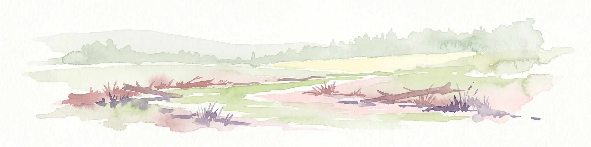
A soft watercolor illustration of a calm stream winding through a wetland or bog area, with gentle hills in the background and a split tree trunk in the foreground.
Nature reserveNordrhein-Westfalen
About 1 km away#2 closest

South

Hildener Stadtwald, Bereich Biesenbach: Protected Wetland and Heathland Geography

Nature reserve complex in the Mettmann district of Nordrhein-Westfalen

This compact nature reserve preserves a critical network of bog woodland and stream-fed alder swamp within the sand-dominated terrain of the Bergische Heideterrasse. The area demonstrates a clear transition between elevated dry forest margins and permanently wet peat moss communities, anchoring a wider regional system of protected heathland habitats.

Area
0.09 km²
Established
1938
IUCN
IV
Relief
Lowland
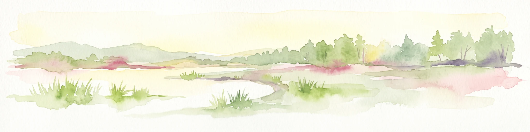
Watercolor illustration showing a wide landscape with rolling hills in soft pink and purple tones, a line of green conifer and deciduous trees, and a grassy foreground with a winding path or stream
Nature reserveNordrhein-Westfalen
About 1.9 km away#3 closest

Southeast

Hildener Heide, Schönholz Nature Reserve: Geography and Protected Area Context

A preserved mosaic of inland heath and bog forest habitats.

Hildener Heide, Schönholz provides a critical window into the rare wetland ecosystems of the Bergische Heideterrasse. This nature reserve in North Rhine-Westphalia retains a distinct mosaic of peat-moss-dominated bog woodland, wet heath, and alder-ash floodplain forest, offering a high density of threatened habitats within a protected geographic framework.

Area
0.36 km²
Established
1938
IUCN
IV
Relief
Lowland
A horizontal watercolor painting of a calm stream flowing through a grassy valley with distant hills and scattered trees under a soft, pink-tinted sky.
Nature reserveKreis Mettmann
About 2.1 km away#4 closest

Northeast

Hühnerbachtal Nature Reserve: Geography and Protected Landscape in Kreis Mettmann

Mapped stream valley ecosystems and local habitat connectivity.

Hühnerbachtal protects a unique valley mosaic in Germany, characterized by floodplain forests and steep wooded slopes. The reserve maintains a critical biotope network near Haan, offering a deep look into the regional geography and protected terrain of the Mettmann district.

Area
0.244 km²
Established
1997
IUCN
IV
A soft watercolor painting of a small grove of trees standing near a body of water, featuring pale green and yellow tones.
Nature reserveNordrhein-Westfalen
About 2.3 km away#5 closest

Southeast

Naturschutzgebiet Hildener Heide, südlich Sandberg: Protected Area and Landscape Atlas

Bog woodland and wet heathland geography in North Rhine-Westphalia.

Examine the topography and habitat mosaic of Naturschutzgebiet Hildener Heide, südlich Sandberg. This nature reserve serves as an important ecological anchor on the Bergische Heideterrasse, preserving rare wetland, alder bog forest, and heath vegetation within a compact and structurally diverse geographic footprint.

Area
0.08 km²
Established
1938
IUCN
IV
Relief
Lowland
A watercolor painting showing a soft landscape scene with a winding stream, low-lying vegetation, and distant hills in pale green and earth tones.
Nature reserveNorth Rhine-Westphalia
About 2.6 km away#6 closest

Northeast

Mahnerter Bachtal: Mapping the Protected Stream Valley Habitats of North Rhine-Westphalia

A vital riparian landscape and lowland nature reserve

Mahnerter Bachtal preserves a significant lowland stream valley in Erkrath, featuring alder swamps, wet meadows, and ancient oak forests. This 28-hectare nature reserve functions as a crucial east-west ecological corridor, offering a rare glimpse of undisturbed valley geography within the sprawling industrial landscape of the German Rhine-Ruhr metropolitan area.

Area
0.28 km²
Established
1997
IUCN
IV
Watercolor painting of a tranquil, marshy landscape with soft green trees, grass, and a winding path, rendered in a pale, minimalist style.
Nature reserveNordrhein-Westfalen
About 4.4 km away#7 closest

South

Krüdersheide und Götsche Nature Reserve: Geographic Mapping and Protected Land Data

Wetland mosaic and bog forest habitats in Nordrhein-Westfalen

Located in Solingen, the Krüdersheide und Götsche nature reserve protects essential bog woodland, peat cushions, and stream habitats on the Bergische Heideterrasse. This 55-hectare site serves as an important ecological corridor for moisture-dependent flora and fauna within an urbanized region of Nordrhein-Westfalen. Study its mapped boundaries and terrain context through our specialized atlas database.

Area
0.547 km²
Established
2005
IUCN
IV
Relief
Lowland
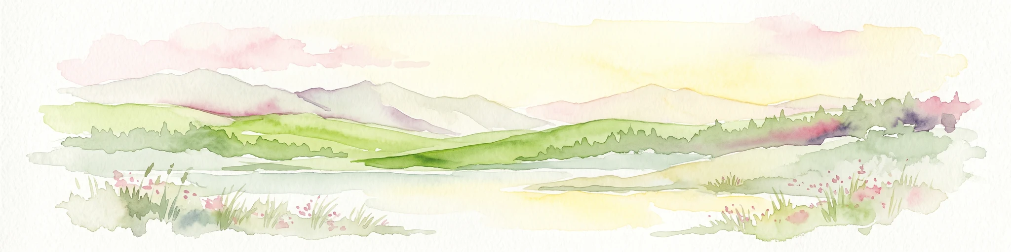
A watercolor painting showing a soft, peaceful landscape with light green rolling hills in the background, a flat plain in the middle ground, and grasses and wildflowers in the foreground under a pale, warm sky.
Nature reserveNordrhein-Westfalen
About 4.5 km away#8 closest

North

Laubacher Steinbruch Nature Reserve: Mapped Geographic Overview and Protected Landscape Analysis

Calcareous habitats in the Neandertal valley, Germany

Laubacher Steinbruch is a distinct nature reserve characterized by a mosaic of sycamore maple forest, steep limestone cliffs, and dry scree fields. Situated within the Neandertal Natura 2000 site, it acts as a critical refuge for specialized plant communities and reptiles, forming an integral part of the regional conservation network in Nordrhein-Westfalen.

Area
0.06 km²
Established
1997
IUCN
IV

Common questions about visiting, size, designation, and location context for Hildener Stadtwald, Bereich Sandbach-Krebsbach

Hildener Stadtwald, Bereich Sandbach-Krebsbach FAQs for park facts, access, geography, and protected area context

Find quick answers about Hildener Stadtwald, Bereich Sandbach-Krebsbach, including protected-area facts, park geography, trail and visitor context, and how the park fits into its surrounding country and regional landscape.
MoriAtlas Explorer

Continue Your Protected Areas Search Across the Global Atlas

Deepen your exploration by continuing the structured search for national parks and protected areas worldwide. Utilize the comprehensive filtering capabilities to compare different conservation landscapes and refine your understanding of global park geography. Discover more about the distribution and characteristics of protected natural areas.

Global natural geography