
A comprehensive index of river corridors, mountain ranges, and limestone terrain features.
Named Natural Features and Geographic Landscapes of Iron Gates Natural Park in Romania
This collection documents the diverse natural features associated with Iron Gates Natural Park, spanning from the steep limestone cliffs of the Danube gorge to the surrounding Banat and Mehedinți mountain ranges. Use this data to analyze the complex geological structure and the varied ecosystems created where these dramatic river valleys meet the Carpathian Mountains. The index provides geographic context for individual landforms, wetlands, and mountain massifs identified across the park territory.
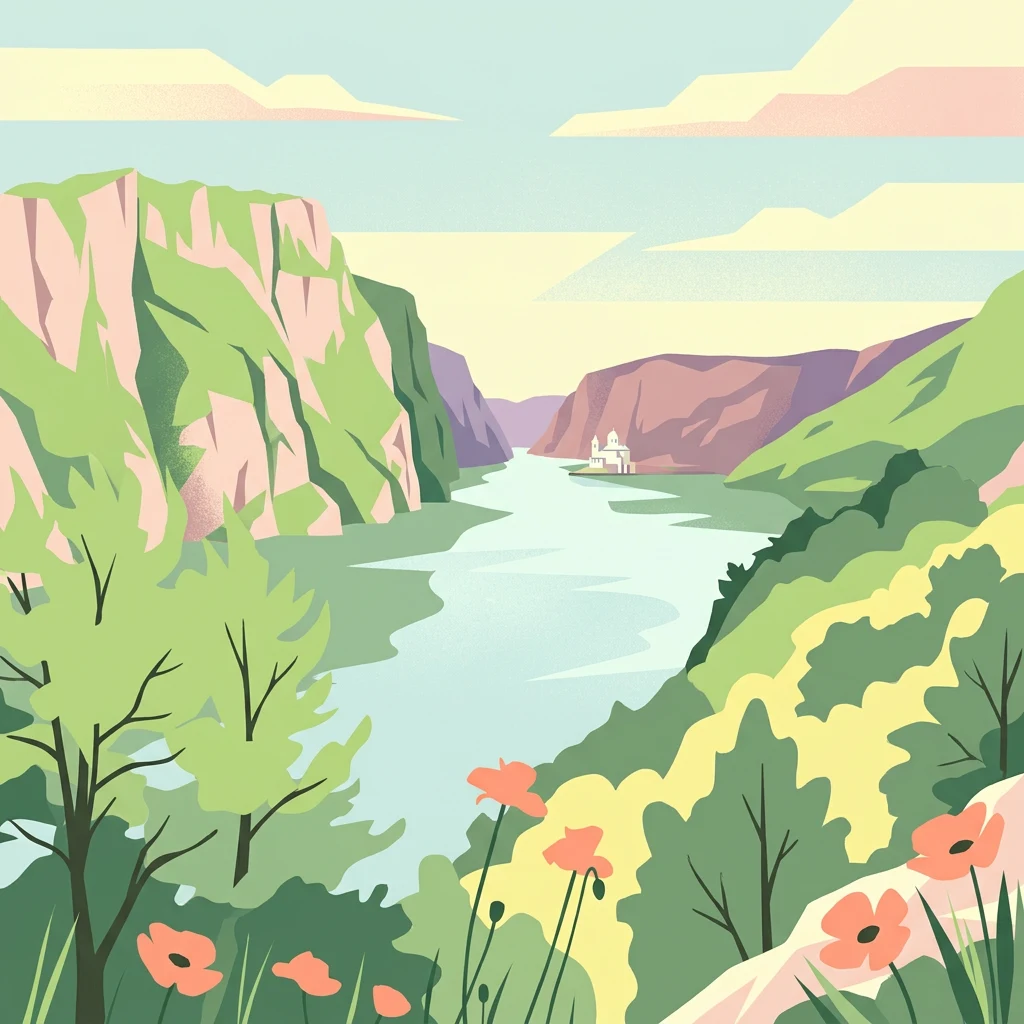
Read Iron Gates Natural Park through river, cliffs, caves, and forest
Mountain, river, wetland, lake, and cave records in Iron Gates Natural Park
Hydrological landscapes of a Romanian protected area
Rivers
Trace the river systems and watercourses integrated into the geography of Iron Gates Natural Park. This collection highlights individual river segments and natural flows that intersect with the Banat and Mehedinți Mountains, offering insight into the hydrological network of this Ramsar designated protected area.
Highland geography and Carpathian structural features
Mountain ranges
Explore the mountain range geography associated with Iron Gates Natural Park, including the Locva and Almăj systems. These structural units offer essential context for the complex tectonic history and diverse limestone terrain found along the Romanian stretch of the Danube.
Mapped land-water configurations within the park
Peninsulas
This collection maps the peninsulas of Iron Gates Natural Park, detailing their relationship to the Danube river corridor and the adjacent Carpathian foothills. Gain a deeper understanding of how these geological projections influence the park's complex wetland and riparian topography.
Iron Gates impounded-water geography
Reservoirs
Compare named reservoir records connected with Iron Gates Natural Park and interpret their place in a Danube landscape transformed by impoundment. The collection connects open water with gorge walls, valleys, islands, and wetland edges without guessing operating levels, dam function, water quality, navigation conditions, or full inclusion within the park.
Mapping regional stream courses and drainage patterns.
Streams
The streams of Iron Gates Natural Park form a vital network of channels descending from the mountain ranges toward the Danube. This collection categorizes individual watercourses by their role in the local landscape, offering insights into the natural drainage basins that define the topography of this protected southwestern Romanian region.
Continue Exploring the Geography of Iron Gates Natural Park and Romania
Expand your geographic understanding by delving deeper into the mapped terrain and protected landscape features of Iron Gates Natural Park. MoriAtlas enables structured exploration, connecting this specific protected area to its surrounding Romanian geography and the wider atlas. Discover how its boundaries and natural context contribute to the region's ecological and topographical profile.