
Mori Atlas logo
Park guides

Focused insights and specialized planning documentation for this Lake Superior archipelago.

Expert Resource Collection for Exploring the Remote Isle Royale National Park Wilderness

Explore a series of detailed guides designed for navigating the remote environment of Isle Royale National Park. This index provides centralized access to specific topics, including seasonal timing, environmental considerations, and regional context for the island archipelago in Keweenaw County.

Related tags

Lake Superior islandsboreal forestwolf-moose ecosystemwilderness areaUNESCO Biosphere Reserve

Remote Lake Superior island wilderness with wolves, moose, and ancient copper mining history

Isle Royale National Park

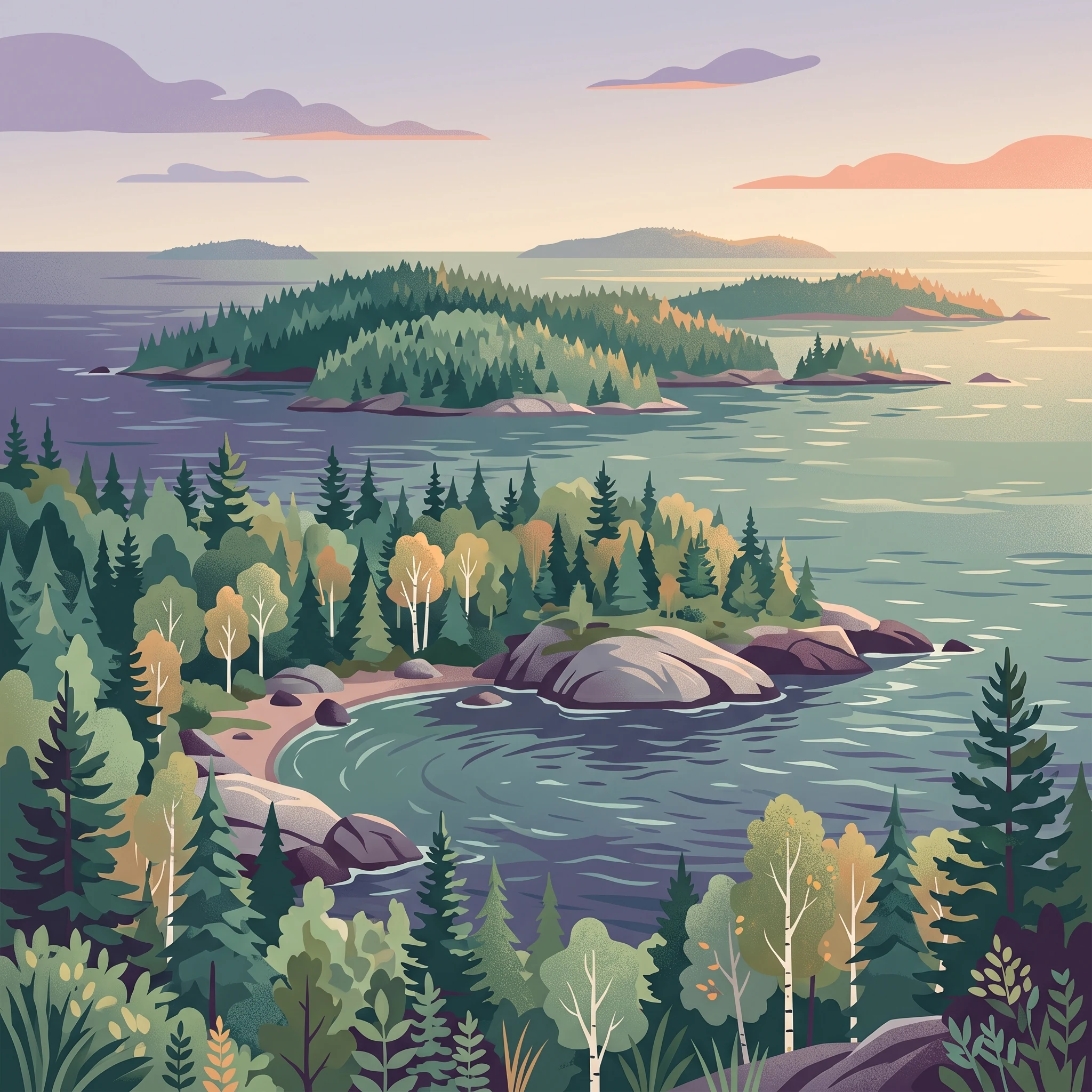
Isle Royale National Park protects a remote island ecosystem in Lake Superior that stands apart from the continental United States in its isolation and ecological character. The park consists of Isle Royale itself, the largest island in Lake Superior and fifth-largest lake island in the world, along with over 400 smaller islands and the surrounding waters extending 4.5 miles from shore. This archipelago lies approximately 56 miles from the Michigan mainland's Keweenaw Peninsula and only 15 miles from the Canadian province of Ontario, creating a unique position at the intersection of American and Canadian wilderness. The island's lack of roads and prohibition on wheeled vehicles except wheelchairs preserve a truly primitive wilderness character uncommon among U.S. national parks. The park's interior features a landscape of boreal forests, inland lakes, bogs, and rock ridges, with the Greenstone Ridge forming a prominent backbone through the island's center. Historically, the island served as a significant site of indigenous copper mining dating back millennia, followed by 19th-century mining attempts and commercial logging that extensively deforested much of the island before its protection. The park's designation as wilderness in 1976 and as a UNESCO Biosphere Reserve in 1980 reflects its exceptional ecological and scientific value.

Location
United States of America
Park type
National park
Established
1940
Area
2,314 km²
Highest point
425 m
Isle Royale National Park Atlas
1 guide

Compare available reference materials for planning your island visit

Isle Royale National Park Published Guides and Destination Resources

Complete published documentation for Isle Royale National Park organizes essential visitor questions into focused topics. Access targeted analysis covering seasonal access windows, weather trade-offs, and ferry schedules to determine your ideal travel timing.
MoriAtlas Explorer

Continue Exploring Isle Royale National Park's Geographic and Landscape Details

Delve deeper into the mapped geography and protected landscape of Isle Royale National Park. This national park offers a unique opportunity to understand its specific natural terrain and its position within the broader regional geography. Continue your atlas exploration to uncover more about the park's mapped boundaries and its significance as a protected natural area for comprehensive geographic discovery.

Global natural geography