
Mori Atlas logo
Park guides

A structured collection of resources detailing the volcanic landscape and regional ecology.

Available Exploration Guides for Iztaccíhuatl–Popocatépetl National Park in Mexico

Browse the collection of focused resources for Iztaccíhuatl–Popocatépetl National Park, home to iconic Mexican peaks and critical volcanic watersheds. These guides examine the environmental gradients and geological features found within the high-altitude terrain of the Trans-Mexican Volcanic Belt.

Related tags

Volcanic MountainsAlpine EcosystemsConifer ForestsHigh-Altitude GrasslandsActive Volcano

Protecting Mexico's iconic twin volcanic peaks and the source of water for millions

Iztaccíhuatl, Popocatépetl National Park

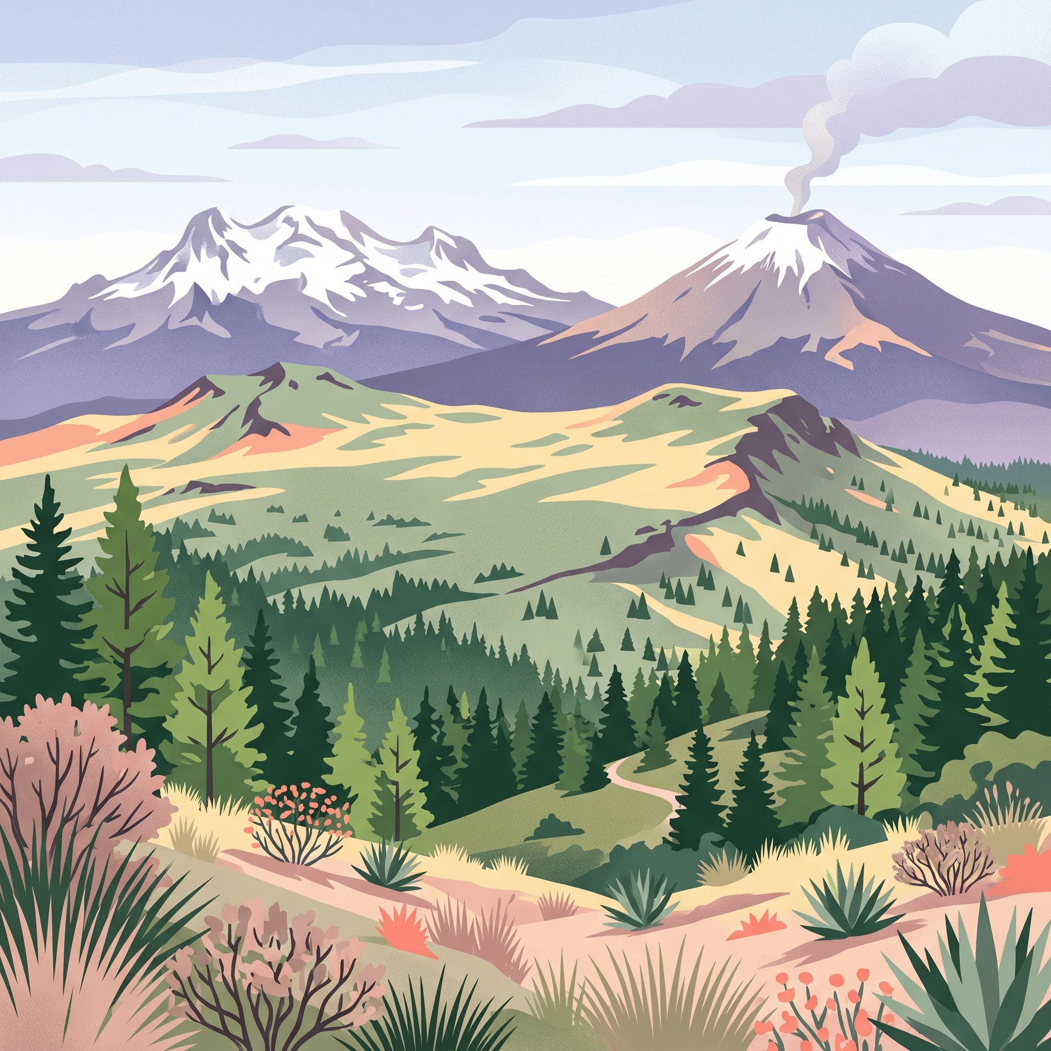
Iztaccíhuatl–Popocatépetl National Park represents one of Mexico's most significant natural and cultural landmarks. The park occupies a strategic position in the Trans-Mexican Volcanic Belt, a mountain range that traverses the country from coast to coast and serves as a natural boundary between the Valley of Mexico and the Puebla-Tlaxcala valley. The protection of this landscape was prioritized not only for its ecological value but also for its hydrological importance, as the snowmelt and precipitation that collect in the park's upper watersheds feed aquifers and rivers that supply water to over 20 million people in the Mexico City metropolitan area and surrounding cities. The park's boundaries were originally defined at the 3,000-meter contour line in 1935, though they were later adjusted to 3,600 meters in 1948, reducing the protected area but maintaining core conservation zones around the volcanic peaks. Today, the park functions as the core zone of the larger Los Volcanes Biosphere Reserve, with a surrounding buffer zone managed for sustainable forestry and compatible human activities.

Location
Mexico
Park type
National park
Established
1935
Area
398.2 km²
Highest point
5,426 m
Iztaccíhuatl–Popocatépetl National Park Atlas
1 guide

Compare focused publication themes to match specific high-altitude trekking and weather research questions

Published Guides and Regional Reference Material for Iztaccíhuatl–Popocatépetl National Park

Published reference materials provide structured insights into high-altitude trekking conditions and seasonal weather patterns across Iztaccíhuatl–Popocatépetl National Park. Individual resources help visitors analyze dry-season stability, volcanic activity tradeoffs, and specific exploratory planning factors.
MoriAtlas Explorer

Continue Exploring Iztaccíhuatl–Popocatépetl National Park's Protected Landscape

Delve deeper into the geographic identity of Iztaccíhuatl–Popocatépetl National Park. Understanding its mapped boundaries and regional setting provides crucial context for exploring Mexico's protected areas. Discover the natural landscape's defining characteristics and its place within a structured geographic atlas, enhancing your comprehension of conservation lands.