
Mori Atlas logo
Nature reserveJagst bei Kirchberg und Brettach

Mapping the protected limestone slopes, floodplain meadows, and river meanders of the Jagst valley.

Jagst bei Kirchberg und Brettach Nature Reserve: A Detailed Geographic Atlas of River Landscapes

(FFH-Gebiet Jagst bei Kirchberg und Brettach)

The Jagst bei Kirchberg und Brettach nature reserve represents a vital protected landscape within the Kocher-Jagst plains of Baden-Württemberg. This area features a complex mosaic of aquatic river habitats, tufa-forming springs, and dry calcareous grasslands carved into the limestone terrain. Visitors and researchers can trace the ecological boundary of this corridor through its distinct transition from open agricultural plateaus to the deeply incised, forested river valleys of the Jagst and Brettach rivers.

river valleymeandering riverfloodplain meadowscalcareous grasslandbeech forestfreshwater habitats
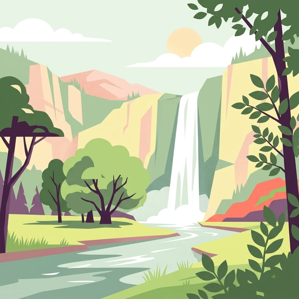
Digital vector-style illustration featuring a waterfall dropping from high canyon walls into a flowing river, framed by foreground trees.

Jagst bei Kirchberg und Brettach

Nature reserve

Park overview

Structured park overview, official facts, and landscape profile for Jagst bei Kirchberg und Brettach

Jagst bei Kirchberg und Brettach park facts, protected area profile, and essential visitor context

Review the core facts for Jagst bei Kirchberg und Brettach, including designation, size, terrain, visitor scale, habitats, and operating context in one park-focused overview.

About Jagst bei Kirchberg und Brettach

Jagst bei Kirchberg und Brettach is a Habitats Directive (FFH) protected landscape in northeastern Baden-Württemberg, anchoring a significant section of the upper Jagst river landscape. Although it is not a national park in the traditional visitor-attraction sense, it functions as a high-priority conservation area that defines how the Jagst valley is managed between Gerabronn, Kirchberg an der Jagst, and Crailsheim. The practical administrative identity of the site is rooted in the Natura 2000 framework and the Baden-Württemberg regional protection system, with management resting with the Regierungspräsidium Stuttgart.

Geographically, the site occupies the western part of the Kocher-Jagst-Ebenen and the eastern fringes of the Hohenloher und Haller Ebene, two of the natural regions that together form much of the characterful agricultural and river landscape of the Schwäbisch Hall district. The Jagst is a typical lowland-to-submontane limestone river here, cutting a meandering course through agricultural plains and forming a wooded valley with steep slopes, rock outcrops, and old river arms. The Brettach, a Jagst tributary, adds an additional valley arm near Gerabronn that brings its own tufa-rich seepage springs and small floodplain structures into the protected zone.

The ecological significance of the area is the result of long historical land use combined with relatively undisturbed hydrology. Traditional hay meadows on the valley floor, grazed calcareous slopes on sun-exposed hillsides, and extensive beech and mixed forests on steeper terrain form the structural backbone of the protected habitats. The site is therefore valuable both for their surviving near-natural state and as a functional refuge for species that have lost habitat elsewhere in the region due to agricultural intensification and river straightening. Within the broader Natura 2000 network, the site complements other Jagst, Kocher, and Hohenlohe plain sites, forming a chain of protected river valleys across the district.

For visitors, the appeal of Jagst bei Kirchberg und Brettach lies less in formal visitor infrastructure and more in the rural landscape itself: the Jagst meanders visible from historic bridges at Kirchberg and Crailsheim, valley trails crossing between vineyards, meadows, and rocky slopes, and the alternating scenery of castle-topped hills above wooded river corridors. It is essentially a landscape-scale conservation area that doubles as a scenic rural backdrop for the historical towns of the upper Jagst.

Quick facts and research context for Jagst bei Kirchberg und Brettach

Jagst bei Kirchberg und Brettach is a Habitats Directive (FFH) site in Baden-Württemberg, Germany, situated in the Schwäbisch Hall district between the towns of Gerabronn and Crailsheim. Designated by the Regierungspräsidium Stuttgart in October 2018 and entering into force in January 2019, it carries the site code DE-6825-341 and the Natura 2000 ID DE6825341. The protection area spans approximately 893 hectares across six municipalities.

The site protects a substantial section of the meandering Jagst valley and a lower stretch of the Brettach river, encompassing floodplain meadows, steep valley slopes, calcareous rock communities, tufa springs, and deciduous woodlands including beech and mixed slope forests. Notable protected species include the thick-shelled river mussel (Unio crassus), stone crayfish (Austropotamobius torrentium), bullhead (Cottus gobio), crested newt (Triturus cristatus), yellow-bellied toad (Bombina variegata), western barbastelle bat (Barbastella barbastellus), greater mouse-eared bat (Myotis myotis), and Eurasian beaver (Castor fiber).

Protection and recognition

Documented terrestrial protection history, designation timeline, and Natura 2000 records

Jagst bei Kirchberg und Brettach Protection Status and International Recognition

Jagst bei Kirchberg und Brettach holds documented terrestrial protection status established in 2019 alongside official Natura 2000 recognition records. Structured conservation data tracks management scope and administrative boundaries for this protected area.

International recognition

Protection details

Protection scope
Terrestrial
Designated year
2019
Transboundary protection
No
WDPA ID
555521718
Park context

Deeper park guide and search-rich context for Jagst bei Kirchberg und Brettach

Jagst bei Kirchberg und Brettach history, landscape, wildlife, and travel context

Explore Jagst bei Kirchberg und Brettach through its history, landscape character, ecosystems, wildlife, conservation priorities, cultural context, and seasonal travel timing in a structured park guide built for atlas discovery and search intent.

Why Jagst bei Kirchberg und Brettach stands out

Jagst bei Kirchberg und Brettach is best known for the exceptional ecological continuity of the Jagst river valley, where natural meanders, floodplain forests, and floating aquatic vegetation coexist with medieval hilltop towns like Kirchberg an der Jagst. The site is a textbook example of how the EU Habitats Directive protects a rich mosaic of river, meadow, cliff, and forest habitats in a single landscape-scale unit. Equally distinctive is the contrast between wet floodplain habitats and dry, sun-exposed calcareous slopes. Limestone pioneer swards, dry calcareous grasslands, tufa seepage springs, and lime-rich scree slopes sit within sight of river meanders and willow-alder floodplain forest. This juxtaposition of aquatic and rocky calcareous habitats within a few kilometers produces one of the most habitat-diverse protected river valleys in the Schwäbisch Hall region.
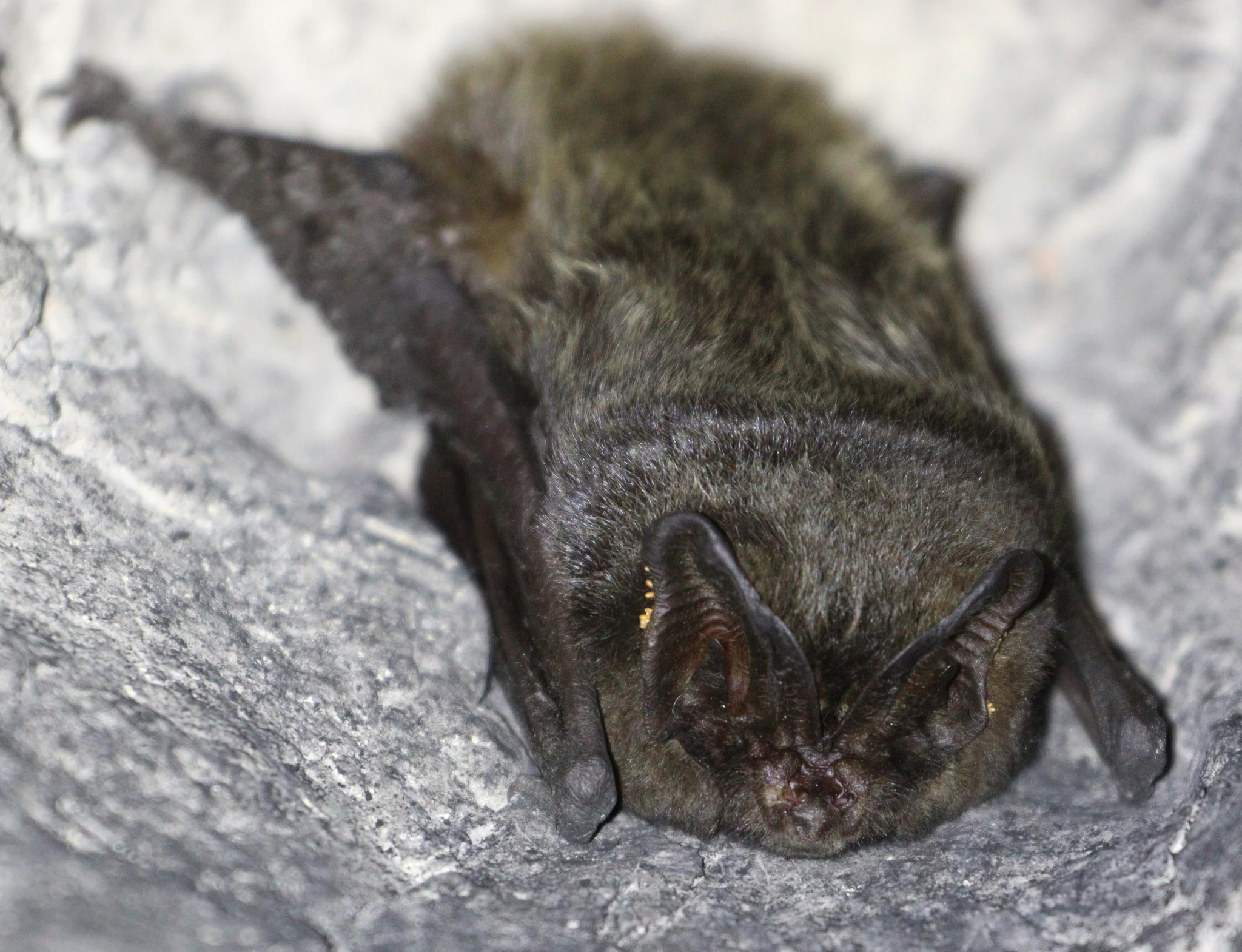
A close up view of a small, dark-furred Western Barbastelle bat perched on a grey textured rock surface.
A Western Barbastelle bat resting on a rocky surface, a species native to the Jagst river area.

Jagst bei Kirchberg und Brettach history and protected-area timeline

The protected status of the Jagst bei Kirchberg und Brettach area has its roots in the European Union's Habitats Directive (Richtlinie 92/43/EWG), which required member states to identify and safeguard key natural habitat types and species. The regional authority for Stuttgart, the Regierungspräsidium Stuttgart, proposed the site as an FFH area in 2004, initiating a long administrative process that culminated in formal designation.

The site was officially designated by ordinance of the Regierungspräsidium Stuttgart on 30 October 2018, fixing the boundaries and protection purposes defined in Annex 1 of the regulation. The ordinance came into force on 11 January 2019, establishing Jagst bei Kirchberg und Brettach as a legally protected part of the Natura 2000 network under the site code DE-6825-341. This designation integrated the area into the wider European network of protected sites and tied its management to the conservation of listed habitat types and species.

Underneath this European-level designation lies a layered national and regional protection history. Within the FFH area, two existing nature reserves (Naturschutzgebiete) are embedded: Ahorn-Lindenwald (area 1026) and Jagsttal mit Seitentälern zwischen Crailsheim und Kirchberg (area 1256). These reserves predate the Habitats Directive and represent earlier German efforts to protect the woodland and valley landscape on national legal grounds. The Jagst river itself is also part of the cross-district European bird protection area (Vogelschutzgebiet) Jagst mit Seitentälern, which extends across five counties and links the aquatic and woodland habitats of the Jagst to wider bird conservation goals.

Jagst bei Kirchberg und Brettach landscape and geographic character

The physical landscape of Jagst bei Kirchberg und Brettach is defined by the meandering Jagst river and its wooded valley corridor, framed by agricultural uplands and the gentle relief of the Kocher-Jagst plains. The Jagst here flows in pronounced loops and meanders, with old river arms, gravel banks, and flat floodplain meadows forming the valley floor. Steep valley flanks rise from the river, alternating between open calcareous grasslands, scattered limestone rocks, and closed deciduous forest.

The Brettach valley in the northern part of the site near Gerabronn adds a smaller but ecologically distinctive tributary landscape. Its slopes host tufa-forming seepage springs, a rare habitat type in the region where calcium-rich water builds up soft limestone deposits around mosses and herbs. Elsewhere, the valley slopes expose limestone parent rock that supports both pioneer plant communities on loose scree and well-established beech forest on more stable ground.

From a broader geographical perspective, the site sits at the transition between the open agricultural plateaus of the Hohenloher und Haller Ebene and the more dissected Kocher-Jagst-Ebenen. This gives the landscape a mosaic quality: elevated plains with fields and small villages above, river-carved valleys with meadows, beech forest, and castle-topped hills like Kirchberg an der Jagst below. The visual rhythm of valley and plateau is one of the defining scenic qualities of the area.

Jagst bei Kirchberg und Brettach ecosystems, habitats, and plant life

Ecologically, Jagst bei Kirchberg und Brettach is a composite protection site, anchored by aquatic and riverside habitats but rich in contrasting calcareous and forest biotopes. The river habitats are the heart of the site. The Jagst itself carries vegetation of the Ranunculion fluitantis and Callitricho-Batrachion type, with submerged and floating water plants along roughly 69 hectares of flowing water. Smaller muddy riverbank sections with pioneer vegetation of the Chenopodion rubri and Bidention type contribute a specialized habitat for opportunistic plant communities, while scattered eutrophic ponds add small standing-water features.

Away from the active river channel, the floodplain meadows and wet tall herb communities form important transitional habitats. Mesophile hay meadows of the Alopecurus pratensis, Sanguisorba officinalis type cover around 29 hectares, providing both forage value and pollinator habitat. Wet tall-herb fringes of the planaren and montanen type add roughly 6 hectares of structurally rich vegetation along ditches and wet field edges. These open habitats connect to wet woodland along the river: alder, ash, and willow floodplain forests of the Alno-Padion, Alnion incanae, and Salicion albae alliance cover about 10 hectares and represent important refuges for wetland-dependent invertebrates, birds, and mammals.

The slopes rising above the floodplain introduce a very different ecological register. Natural calcareous beech forests of the Asperulo-Fagetum type dominate the forested slopes, occupying over 105 hectares and forming the largest single habitat block in the site. Mixed slope and gorge forests of the Tilio-Acerion type add roughly 25 hectares on particularly steep or rocky terrain. In contrast, the open calcareous habitats are small in extent but ecologically significant: calcareous pioneer swards, dry calcareous grasslands, base-rich scree, and limestone cliff vegetation together represent the most species-rich plant communities, often with high orchid and herb diversity in the smaller calcareous grassland patches.

Jagst bei Kirchberg und Brettach wildlife and species highlights

The site's species list reflects its combined aquatic-forest-grassland character. Aquatic fauna is a particular strength, with the thick-shelled river mussel (Unio crassus), the stone crayfish (Austropotamobius torrentium), and the bullhead (Cottus gobio) listed as species of community interest dependent on clean, structured gravel-bed rivers like the Jagst. These species are sensitive to siltation, pollution, and physical disturbance, making their presence a key indicator of river health.

Amphibians are well represented thanks to the mix of ponds, wet meadows, and structured floodplain habitats. Both the crested newt (Triturus cristatus) and the yellow-bellied toad (Bombina variegata) are noted as protected species in the area, the latter often dependent on small, sun-exposed ephemeral pools and disturbed ground in riverbank and quarry-like contexts. The wet woodland, meadows, and river ecosystem also support a notable bat fauna, including the western barbastelle (Barbastella barbastellus) and the greater mouse-eared bat (Myotis myotis), both of which require roost opportunities in old trees or buildings in conjunction with rich foraging habitats.

Larger mammals are also part of the site's ecological profile. The Eurasian beaver (Castor fiber), which has been recovering across southern Germany, is reported as a species of community interest in the area, benefiting from the Jagst's meandering course, dense bank-side vegetation, and relatively undisturbed riparian woodland. Together with typical reptile, small mammal, and breeding bird assemblages of the Jagst valley, the site forms an integrated habitat complex of considerable regional importance.

Jagst bei Kirchberg und Brettach conservation status and protection priorities

The conservation significance of Jagst bei Kirchberg und Brettach lies in its role as a large, well-connected river valley within the Natura 2000 network. By protecting roughly 893 hectares along a meandering reach of the Jagst and a lower section of the Brettach, the site safeguards both the river itself and the closely associated floodplain, slope, and forest habitats that depend on the same geological and hydrological context. This integrated protection is essential because the habitat types involved are functionally interlinked: beech forest soils stabilize slopes above the river, meadows filter agricultural runoff, and the meandering river creates the dynamic structures needed by freshwater mussels and crayfish.

Beyond its own boundaries, the site is a critical node in the larger network of protected areas in the Schwäbisch Hall district. The Jagst river itself is also part of the European bird protection area Jagst mit Seitentälern, which extends across five counties, while internally the FFH area overlaps with two nationally designated nature reserves. This layering of EU, national, and regional protection provides redundant legal safeguards and supports coordinated management of habitat types and species across administrative boundaries.

The site's conservation profile is shaped by both opportunities and pressures. Calcareous grasslands, pioneer swards, and tufa springs in particular are vulnerable to abandonment, scrub encroachment, or nutrient enrichment, and require active management such as grazing or targeted mowing. Aquatic habitats meanwhile face ongoing risks from hydrological alteration, pollution, and bank reinforcement. As a designated Natura 2000 site, Jagst bei Kirchberg und Brettach is subject to periodic reporting on conservation status, and its long-term ecological value depends on maintaining or restoring these vulnerable habitats alongside traditional land uses.

Jagst bei Kirchberg und Brettach cultural meaning and human context

The cultural context of the Jagst bei Kirchberg und Brettach area is closely tied to the historical landscape of the upper Jagst valley in northeastern Baden-Württemberg. Many of the habitats protected under the site are not pristine wilderness but the product of centuries of traditional land use: hay meadows cut for fodder, extensively grazed calcareous slopes, and selectively used forests. The species-rich calcareous grasslands and mesophile hay meadows in particular depend on continued human management for their biodiversity, linking ecological conservation directly to regional farming traditions.

The valley is also marked by strong historical settlement patterns. The towns of Kirchberg an der Jagst, Crailsheim, Ilshofen, and Gerabronn have medieval origins, with Kirchberg's skyline of castle and half-timbered houses rising above the Jagst as one of the most recognizable views in the area. The Jagst valley has historically served as a transport corridor through the Hohenlohe plains, and many of the hilltops above the river carry castles, chapels, and historic field patterns that contribute to the cultural identity of the region.

Traditional land use, including low-intensity agriculture and forestry, is not merely a backdrop to the conservation area but a continuing management tool. Active grazing, hay-making, and careful forestry operations in coordination with the Regierungspräsidium Stuttgart and local farmers are part of how the habitats of Jagst bei Kirchberg und Brettach are maintained. In this sense, the site represents a working cultural landscape as much as a natural area.

Top sights and standout views in Jagst bei Kirchberg und Brettach

A near-natural meandering stretch of the Jagst river downstream of Crailsheim, with classic lowland river habitats including floating water vegetation, muddy riverbanks, and back-channel structures. Within the same protection area, the Brettach valley near Gerabronn contributes tufa springs, calcareous seepages, and additional floodplain habitat diversity, producing a layered river conservation landscape of considerable regional scale.

Equally striking is the contrast between steep valley slopes and the valley floor: dry limestone grasslands, base-rich pioneer swards, and limestone scree sit directly above Calcareous beech forests and mixed slope forests, with open floodplain meadows linking both. The result is a richly textured mosaic of habitats accessible from historic towns like Kirchberg an der Jagst and integrated into the working agricultural landscape of the Schwäbisch Hall district.

Best time to visit Jagst bei Kirchberg und Brettach

The valley landscape of Jagst bei Kirchberg und Brettach is best experienced in late spring and summer, when the floodplain meadows are in bloom and the calcareous grasslands on the slopes carry their richest herb and orchid displays. Warm, sunny days make the dry south-facing slopes particularly rewarding for viewing butterflies and wildflowers, while early mornings along the Jagst often offer the best chances of observing riparian wildlife such as beavers and waterbirds along quiet river sections.

Autumn brings a different character to the area, with deciduous beech and mixed slope forests turning color and traditional hay meadows often supporting a late-season flush of plant diversity. Winter visits have their own appeal for those interested in landscape structure: bare trees reveal the meanders of the Jagst, the cleared valley profiles, and the relationship between settlement, forest, and river that defines the cultural landscape of the Hohenloher and Haller Ebene.

Monthly climate preview

Long-term representative monthly temperature and precipitation data for Baden-Württemberg

Jagst bei Kirchberg und Brettach Climate Normals and Annual Temperature Patterns

Recorded baseline measurements outline the long-term temperature ranges and precipitation rates across twelve monthly intervals for Jagst bei Kirchberg und Brettach. Examining the complete monthly climate dataset provides deeper insight into measured meteorological averages at the representative coordinate.
Annual mean9 °C
-1 °C18 °C
Jan-1°
Feb
Mar
Apr
May13°
Jun16°
Jul18°
Aug18°
Sep14°
Oct
Nov
Dec
Warmest month
July

18.4 °C

Coolest month
January

-1 °C

Wettest month
July

3 mm/day

Driest month
April

1.6 mm/day

Park location guide

Geography guide, regional context, and park location map for Jagst bei Kirchberg und Brettach

Jagst bei Kirchberg und Brettach park geography, regions, and map view in Germany

Understand where Jagst bei Kirchberg und Brettach sits in Germany through a broader geographic reading of the surrounding landscape, nearby location context, and its mapped position within the national park landscape.

How Jagst bei Kirchberg und Brettach fits into Germany

Germany is a federal republic in Western and Central Europe with a population of over 83 million across sixteen constituent states. It is Europe's largest economy by nominal GDP and a major global exporter and importer. The capital is Berlin, and the country borders Denmark, Poland, Czech Republic, Austria, Switzerland, France, Luxembourg, Belgium, and the Netherlands.

Wider geography shaping Jagst bei Kirchberg und Brettach in Germany

Germany is located in Western and Central Europe, spanning 357,022 km². It borders Denmark to the north, Poland and the Czech Republic to the east, Austria and Switzerland to the south, and France, Luxembourg, Belgium, and the Netherlands to the west. The country has coastlines on the Baltic Sea and North Sea to the north, with the Alps located in the southern region.

Map view of Jagst bei Kirchberg und Brettach

Use this park location map to pinpoint Jagst bei Kirchberg und Brettach in Germany, understand its exact geographic position, and read its mapped placement within the surrounding landscape more clearly.

Pigeon | © OpenStreetMap contributors

Location context for Jagst bei Kirchberg und Brettach

Baden-Württemberg
Recorded earthquake history

Explore Historical Earthquake Records Near Jagst bei Kirchberg und Brettach

Review documented seismic events associated with the geography surrounding Jagst bei Kirchberg und Brettach. This catalogue provides historical context on magnitude and location for all recorded activity in the vicinity of this protected river valley landscape.

Jagst bei Kirchberg und Brettach Earthquake History

Catalogued events

4 events

Strongest magnitude

Magnitude 3

Most recent event

Aug 1, 1999

This history includes earthquakes recorded inside the park or within 50 km of its borders

Visual exploration of meandering river valleys, limestone slopes, and protected habitats

Jagst bei Kirchberg und Brettach Landscape Photos and Scenery

Visual documentation reveals the intricate mosaic of meandering river channels, floodplain meadows, and steep calcareous slopes defining Jagst bei Kirchberg und Brettach. Studying these protected-area habitats and valley formations provides clear insight into the ecological character of the Baden-Württemberg region.

A close up view of a small, dark-furred Western Barbastelle bat perched on a grey textured rock surface.

A gentle river flowing through a green landscape with trees and thick vegetation along the banks under bright sunlight.

Park atlas

Compare surrounding river valleys, calcareous slopes, and regional protected landscapes

Explore Protected Areas and Parks Near Jagst bei Kirchberg und Brettach

Browsing other protected areas near Jagst bei Kirchberg und Brettach reveals connected river corridors and limestone terrain across the Schwäbisch Hall district. Extending the geographic comparison exposes wider ecological patterns across neighboring river plains and forested uplands.
A horizontal watercolor illustration depicting a soft, pastel landscape with rolling hills in the background, a small pond, and several green and light pink flowering trees.
Nature reserveBaden-Württemberg
Park boundaries overlap#1 closest

Southeast

Crailsheimer Hart und Reusenberg: Protected Nature Reserve and Karst Landscape Geography

Jagst valley protected habitat in Baden-Württemberg

Crailsheimer Hart und Reusenberg represents a key conservation unit in southwest Germany. This nature reserve is recognized for its distinctive gypsum keuper geology, which creates a network of dolines, semi-dry grasslands, and near-natural floodplain forests. Understanding its boundaries provides insight into habitat connectivity within the broader Baden-Württemberg protected-area network.

Area
7.14 km²
Established
2019
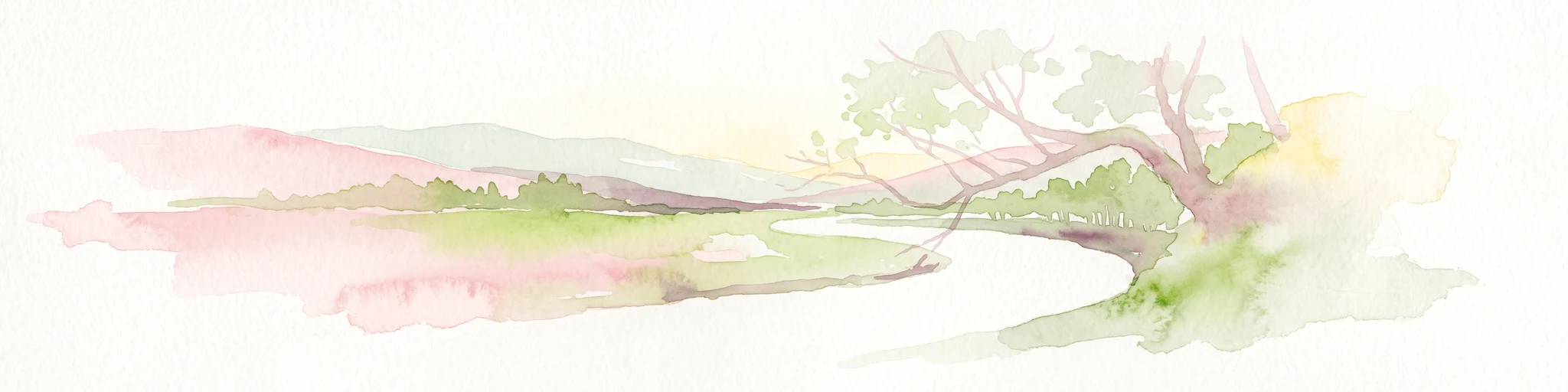
A soft watercolor painting of a river valley with green fields, distant hills, and a prominent tree in the foreground on the right.
Protected areaBaden-Württemberg
3.6 km away#2 closest

Southwest

Bühlertal Vellberg-Geislingen: Protected River Valley and Karst Geography

A concentrated habitat corridor in Baden-Württemberg

This protected area follows the Bühler river through a series of tight meanders and dramatic limestone formations. The landscape is characterized by a transition from wet floodplain woods and tall-herb fringes to dry calcareous grasslands and hillside forests. Covering over 800 hectares, the site serves as a vital ecological link across the Kocher-Jagst plains and the forested ridges of the Schwäbisch-Fränkische Waldberge.

Area
8.474 km²
Established
2019
Relief
Upland
Climate
Temperate
A soft watercolor illustration of rolling hills and gentle terrain in shades of pale green and muted earth tones against a white background.
Protected landscapeMittelfranken
5 km away#3 closest

Northeast

Naturpark Frankenhöhe Protected Landscape: Geography, Map, and Regional Conservation Context

Explore the diverse natural terrain of the Mittelfranken region in Bavaria.

Naturpark Frankenhöhe serves as a significant protected landscape in western Mittelfranken, encompassing a unique mosaic of forests, vineyards, and agricultural valleys. This geographic entity is shaped by the European Main Watershed, where rivers divide between the Rhine and Danube systems. Its terrain provides a study in transitions, from higher forested crests to open orchard meadows that define the local Bavarian countryside.

Area
1,104.06 km²
Established
1974
Relief
Mixed relief
Climate
Temperate
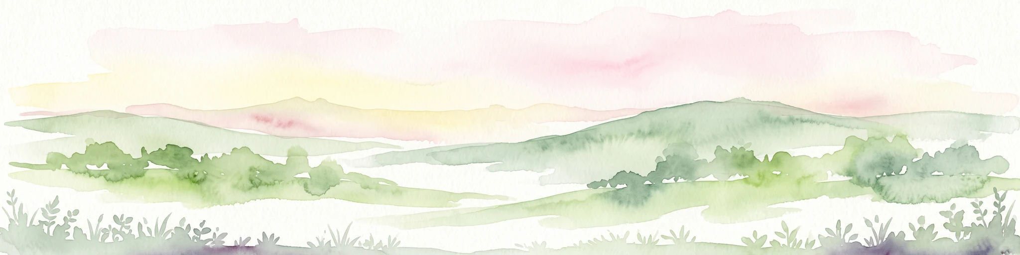
A wide watercolor illustration showing a landscape of rolling green hills and trees under a pastel pink and yellow sky.
Protected landscapeGermany
About 15 km away#4 closest

North

Niederstetten (Landschaftsschutzgebiet) Protected Landscape Map and Regional Terrain Data

Protected landscape and topographic features in Baden-Württemberg

Covering 1,786 hectares, the Niederstetten (Landschaftsschutzgebiet) serves as a vital protected landscape within the Hohenlohe region. It is recognized for its deeply incised side valleys, stream-fed corridors, and traditional dry-stone wall boundaries that define this portion of the German countryside.

Area
17.86 km²
Established
1992
Relief
Upland
Climate
Temperate
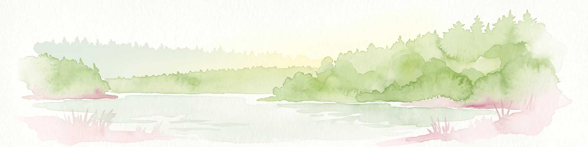
A soft watercolor painting of a calm reservoir surrounded by light green trees and low vegetation.
Protected landscapeBaden-Wuerttemberg
About 16 km away#5 closest

South

Speicherbecken Orrot: Geography and Protected Landscape Analysis in Baden-Wuerttemberg

Reservoir, valley terrain, and wetland mapping

Speicherbecken Orrot serves as a significant example of a protected valley landscape within the Ostalbkreis. The area centers on the Orrotsee reservoir, surrounded by a mosaic of fish ponds, wet meadows, and forested slopes. Our mapping provides a clear view of the park boundaries and the ecological features that distinguish this wetland geography from the surrounding upland terrain.

Area
0.567 km²
Established
1968
IUCN
V
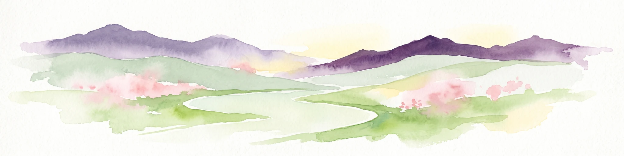
A watercolor illustration of rolling hills in shades of purple and green against a white background.
Nature reserveBaden-Württemberg
18 km away#6 closest

Northwest

Jagsttal Dörzbach-Krautheim Protected Area: Landscape Geography and Atlas Map Context

Nature reserve featuring karst features and riparian corridors

Spanning the Jagst river valley in Baden-Württemberg, Jagsttal Dörzbach-Krautheim showcases a sophisticated mosaic of dry calcareous grasslands and wet floodplain woodlands. This atlas entry focuses on the park boundary geography, identifying the intersection of limestone scree slopes, plateau forests, and karst caves that create its distinct ecological profile. Gain a comprehensive view of how these features form a vital conservation link within the regional river network.

Area
17.502 km²
Established
2005
Relief
Mixed relief
Climate
Temperate
Nature reserveBaden-Württemberg
25 km away#7 closest

West

Jagsttal bei Schöntal und Klosterwald: Protected Nature Reserve Landscape Overview

Geographic profile of the Jagst-Kocher plateau in Baden-Württemberg

Spanning the high plateau between the Jagst and Kocher rivers, this protected area features a unique vertical transition from continuous beech forest canopy to steep ravines and calcareous valley slopes. The landscape encompasses a complex mix of traditional orchard meadows, dry grasslands, and specialized freshwater tufa springs, serving as a representative example of the regional ecological heritage in southwest Germany.

Area
12.605 km²
Established
2019
Relief
Upland
Climate
Temperate
Protected landscapeBaden-Württemberg
About 26 km away#8 closest

North

Weikersheim Protected Landscape: Mapping the Tauberland Terrain in Baden-Württemberg

Historic stone ridges and forested Klingen valleys.

Encompassing a wide stretch of the Tauberland, the Weikersheim Protected Landscape represents a significant conservation effort in Baden-Württemberg. The territory features a varied patchwork of slopes, meadows, and woodlands, anchored by rare dry-stone ridge formations that trace the historic patterns of regional agriculture. Examine the geographic boundaries and habitat distribution within this extensive protected landscape zone.

Area
27.18 km²
Established
1993
IUCN
V
Scope
Terrestrial

Common questions about visiting, size, designation, and location context for Jagst bei Kirchberg und Brettach

Jagst bei Kirchberg und Brettach FAQs for park facts, access, geography, and protected area context

Find quick answers about Jagst bei Kirchberg und Brettach, including protected-area facts, park geography, trail and visitor context, and how the park fits into its surrounding country and regional landscape.
MoriAtlas Explorer

Continue Your Protected Areas Search Across the Global Atlas

Deepen your exploration by continuing the structured search for national parks and protected areas worldwide. Utilize the comprehensive filtering capabilities to compare different conservation landscapes and refine your understanding of global park geography. Discover more about the distribution and characteristics of protected natural areas.

Global natural geography