Why Jarbidge Wilderness stands out
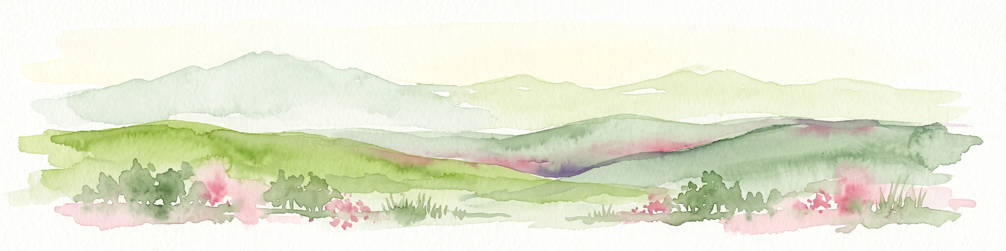
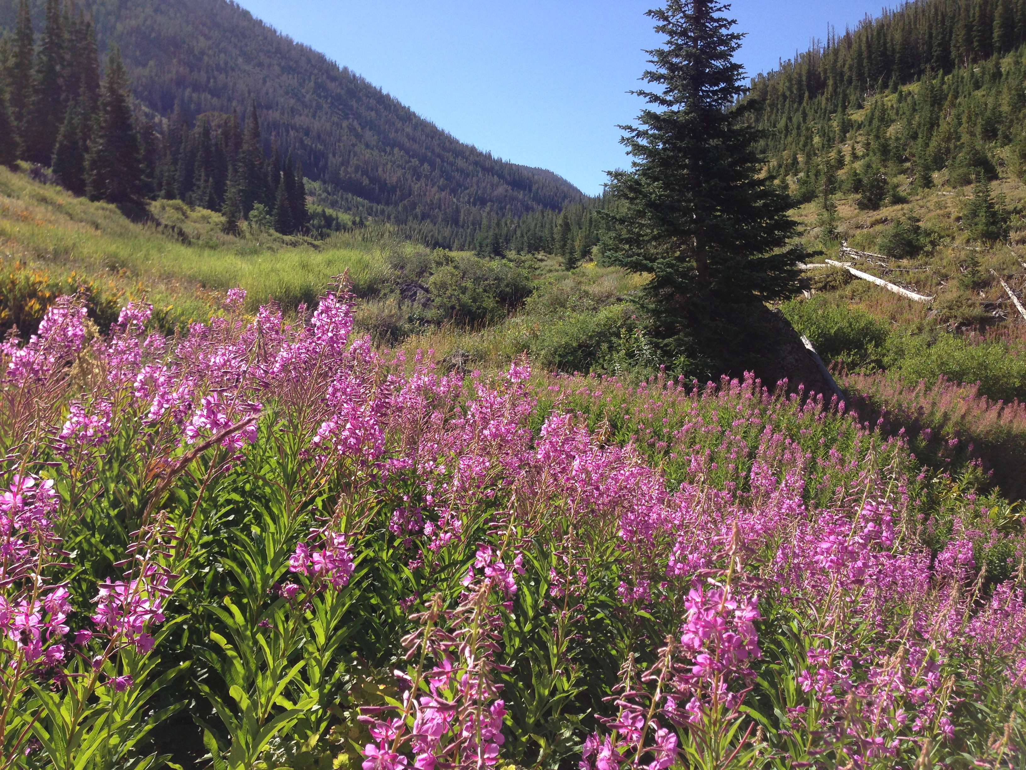
Jarbidge Wilderness is best known for being Nevada's first federally designated wilderness, an early landmark in the state's modern conservation history. Its dramatic canyons, including the deep upper Jarbidge River Canyon, are among the most visually striking features of the surrounding region. Wildflower displays and subalpine forest cover give the higher elevations a noticeably different character from the lower sagebrush country that frames the wilderness. The wilderness is also distinguished by the concentration of high peaks within its boundaries and the fact that it cradles the headwaters of multiple rivers. The remoteness of the area, combined with the cultural weight of its name, drawn from a Shoshone word meaning 'devil,' adds a layer of mystique that sets Jarbidge apart from many other Nevada protected lands. Together, these qualities make it a defining example of wilderness character in the northern Great Basin.
Jarbidge Wilderness history and protected-area timeline
Jarbidge Wilderness has a notable history as Nevada's first federally designated wilderness area. It was established on January 1, 1964, when President Lyndon B. Johnson signed the Wilderness Act, the landmark federal law that created the National Wilderness Preservation System. Jarbidge was included among the original areas protected under that act, distinguishing it as a pioneer in the state's conservation framework at a time when most Nevada land was still treated primarily as multiple-use forest or open range.
The wilderness grew substantially in 1989 when Congress passed the Nevada Wilderness Act. This legislation expanded Jarbidge's boundaries, more than doubling the area under wilderness protection and bringing in additional portions of the Jarbidge Mountains. The expansion reflected a broader recognition of the area's ecological values and helped integrate more of the surrounding high country into the wilderness system. As a result, the contemporary Jarbidge Wilderness encompasses over 113,000 acres and includes additional headwater streams, ridges, and peaks.
Beyond formal designation, the area has a deeper cultural history rooted in Indigenous presence. Shoshone people considered the Jarbidge Mountains to be haunted, and the word 'Jarbidge' itself comes from a Shoshone term meaning 'devil.' This long-standing cultural association contributed to the mystique of the range long before formal protections were established. The combination of early federal recognition, subsequent legislative expansion, and the area's enduring cultural resonance gives Jarbidge a layered historical identity unusual for a Nevada wilderness.
Jarbidge Wilderness landscape and geographic character
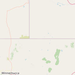
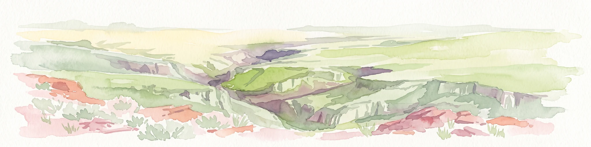
The Jarbidge Wilderness has a sharply varied physical landscape, defined by the deep canyons and ridgelines of the Jarbidge Mountains. Running roughly north-south along the Nevada-Idaho border, the range produces steep-walled river canyons, particularly along the upper Jarbidge River, where vertical rock faces and dense vegetation create one of the area's most distinctive scenes. Snowslide Gulch is among the better-known erosional features, hinting at the powerful geological forces that have shaped the terrain.
Nearly ten peaks within the wilderness rise above 10,000 feet, providing vertical relief that organizes drainage patterns and habitat zones. These summits, combined with intervening ridges and basins, create a topography of alternating openness and enclosure. The canyons cut by the Jarbidge and Marys Rivers are among the deepest in the region, and the systems of headwater streams radiating from the range shape much of the surrounding watershed.
In contrast to the steep upper country, lower elevations within and around the wilderness transition into gentler slopes covered in sagebrush steppe and pinion-juniper woodland. This descending gradient, from forested summits to arid shrublands, gives the Jarbidge landscape a layered appearance that shifts dramatically over short distances. The two named lakes within the wilderness, Emerald Lake and Jarbidge Lake, sit in quieter alpine and subalpine basins, offering a still-water counterpoint to the canyon's flowing streams.
Jarbidge Wilderness ecosystems, habitats, and plant life
The ecological character of Jarbidge Wilderness is shaped by elevation, moisture, and slope. The lower fringe of the wilderness is dominated by sagebrush steppe, a plant community typical of the Great Basin and known for its hardy shrubs, dry-adapted grasses, and open vistas. Where moisture accumulates, particularly along streams and at higher elevations, the vegetation becomes more dense and structurally diverse.
Mid-elevations support mixed conifer forests with strong representation of subalpine fir, a cold-adapted conifer that thrives in the cool conditions of higher valleys and slopes. Whitebark pine, a conifer usually associated with harsher, wind-swept settings, is also present, contributing to the unusual forested character of this part of Nevada. Quaking aspen adds to the diversity, often forming groves on favorable sites and providing striking autumn color.
Riparian woodlands follow the courses of the Jarbidge and Marys Rivers and other streams. These corridor habitats contrast with the surrounding slopes and support a different suite of plants and animals. Together, the combination of sagebrush steppe, conifer forest, subalpine fir-whitebark pine communities, aspen groves, and riparian zones creates a layered ecological mosaic uncommon in the generally arid Great Basin landscape.
Jarbidge Wilderness wildlife and species highlights
Jarbidge Wilderness supports wildlife communities typical of the northern Great Basin mountains, with stronger forest-associated species appearing in the higher elevations. The mix of sagebrush steppe, conifer forest, riparian corridors, and high country allows for a varied range of mammals, birds, and fish, even though detailed population figures are limited.
Larger mammals in the area include mule deer, which move seasonally between summer range in the higher elevations and winter range in the sagebrush lowlands. Mountain lions and black bears are also present, though they are typically elusive. Smaller mammals adapted to brush and forest, including various squirrels and chipmunks, occupy the transitional zones. Pronghorn, where present in the surrounding lowlands, graze the sage flats but typically avoid the steeper forested canyons.
Birdlife reflects the habitat diversity, with sagebrush-associated species at lower elevations and forest-dwelling species higher up. Riparian areas along the rivers attract songbirds and other species dependent on streamside vegetation. The wilderness's lakes and streams support fish populations, which together with surrounding habitat makes the area attractive for anglers and naturalists. Overall, the wildlife profile is one of a transition zone where Great Basin arid-land species meet montane forest species, giving Jarbidge a distinctive biological flavor for Nevada.
Jarbidge Wilderness conservation status and protection priorities
Jarbidge Wilderness holds an early and prominent place in the conservation history of Nevada. Because it was the first wilderness area in the state designated under the 1964 Wilderness Act, it serves as an anchor point for understanding how wilderness came to be recognized in a landscape often associated with broad open range and mineral development rather than protected reserves. The 1989 Nevada Wilderness Act expanded Jarbidge, reinforcing its protected status and integrating additional ecologically valuable lands into the wilderness system.
Conservation significance today stems largely from the wilderness's role in protecting intact headwater systems. The Jarbidge and Marys Rivers, along with key tributaries feeding into Salmon Falls Creek, all originate within or are strongly influenced by these mountains. Their protection under wilderness designation helps maintain natural flow regimes, water quality, and riparian habitat downstream.
The wilderness also protects ecological transitions that are increasingly rare in the region. Subalpine fir, whitebark pine, and aspen communities are limited in distribution across the Great Basin and are vulnerable to climate stress, fire, and disease. By preserving a substantial block of these habitats, Jarbidge contributes to the long-term viability of those forest types in Nevada. Managed by the U.S. Forest Service specifically to preserve wilderness character, the area is shielded from road-building, logging, and mechanized use, helping maintain its ecological integrity over time.
Jarbidge Wilderness cultural meaning and human context
The cultural context of Jarbidge Wilderness is anchored in the name itself, which comes from the Shoshone language. The word means 'devil,' and local Indigenous tradition held that the mountains in this area were haunted. Whether through stories, caution, or spiritual associations, the Shoshone people treated the Jarbidge range as a place of unusual power, and this perception long predates Euro-American settlement of the region. The persistence of the original name in the official wilderness title is itself an important cultural marker.
The small community of Jarbidge, Nevada, named after the mountains, embodies the long relationship between people and this remote high country. Once a mining and ranching outpost, the town has retained a quiet character shaped by its isolation and the surrounding wilderness. Many local livelihoods remain tied to the land through ranching, outfitting, forest service work, and guiding, all of which reflect a continued human presence in and around the wilderness.
Although the modern wilderness designation emphasizes natural values, the cultural layer remains significant. Visitors and residents alike encounter the area through the lens of the name and the stories it carries. Jarbidge's cultural resonance adds depth beyond its ecology and landscape, distinguishing it from protected areas whose human connections are less pronounced.
Top sights and standout views in Jarbidge Wilderness
Among Jarbidge Wilderness's most distinctive features are its deep, vegetation-cloaked canyons, particularly along the upper Jarbidge River, and the nearly a dozen high peaks above 10,000 feet that give the wilderness its vertical defining features. The combination of these canyons, summits, and the quiet lakes of Emerald and Jarbidge creates a varied field of destinations across a comparatively compact block of protected land.
A second highlight is the wilderness's ecological layering, from sagebrush steppe on its lower fringe to subalpine fir and whitebark pine stands, riparian woodland, and aspen groves higher up. This concentration of habitat zones in one place gives Jarbidge an unusually rich profile for a Nevada wilderness. Its status as the state's first wilderness, together with the cultural weight of its Shoshone-derived name, adds historical and identity value to the otherwise natural setting.
Best time to visit Jarbidge Wilderness
Summer and early fall are generally the most productive seasons for visiting Jarbidge Wilderness, when high-country trails are largely free of snow and the higher elevations become accessible on foot or horseback. Temperatures at the Pole Creek Ranger Station remain cool even in midsummer, with daytime highs typically in the upper 60s to low 70s Fahrenheit, making longer excursions more comfortable than in many lower Nevada settings.
Mid to late summer is also when wildflower displays in the canyons and subalpine zones tend to peak, adding color to the river corridors and forest edges. Fall brings the golden color of aspen groves and cooler nights, and the absence of summer's thunderstorm activity often makes travel more predictable. Winter brings heavy snow at elevation, which essentially closes most access routes and transforms the wilderness into a remote and largely self-paced snow environment. Spring conditions can be wet and unpredictable, with lingering snow at higher elevations continuing to limit access well into the season.