
Mori Atlas logo
Park guides

Exploration insights for managing visits across Bhutan's expansive Himalayan protected terrain

Official Planning Guides and Regional Resources for Jigme Dorji National Park

Browse the collection of available guides tailored for Jigme Dorji National Park. These resources offer essential information on optimal visit timing and seasonal transitions, helping travelers navigate the complexities of this high altitude protected area spanning diverse ecological zones from subtropical forests to alpine meadows.

Related tags

Himalayan national parkMountain wildernessSnow leopard habitatGlacial landscapeCultural heritage site

Bhutan's rugged northern wilderness spanning three climate zones

Jigme Dorji National Park

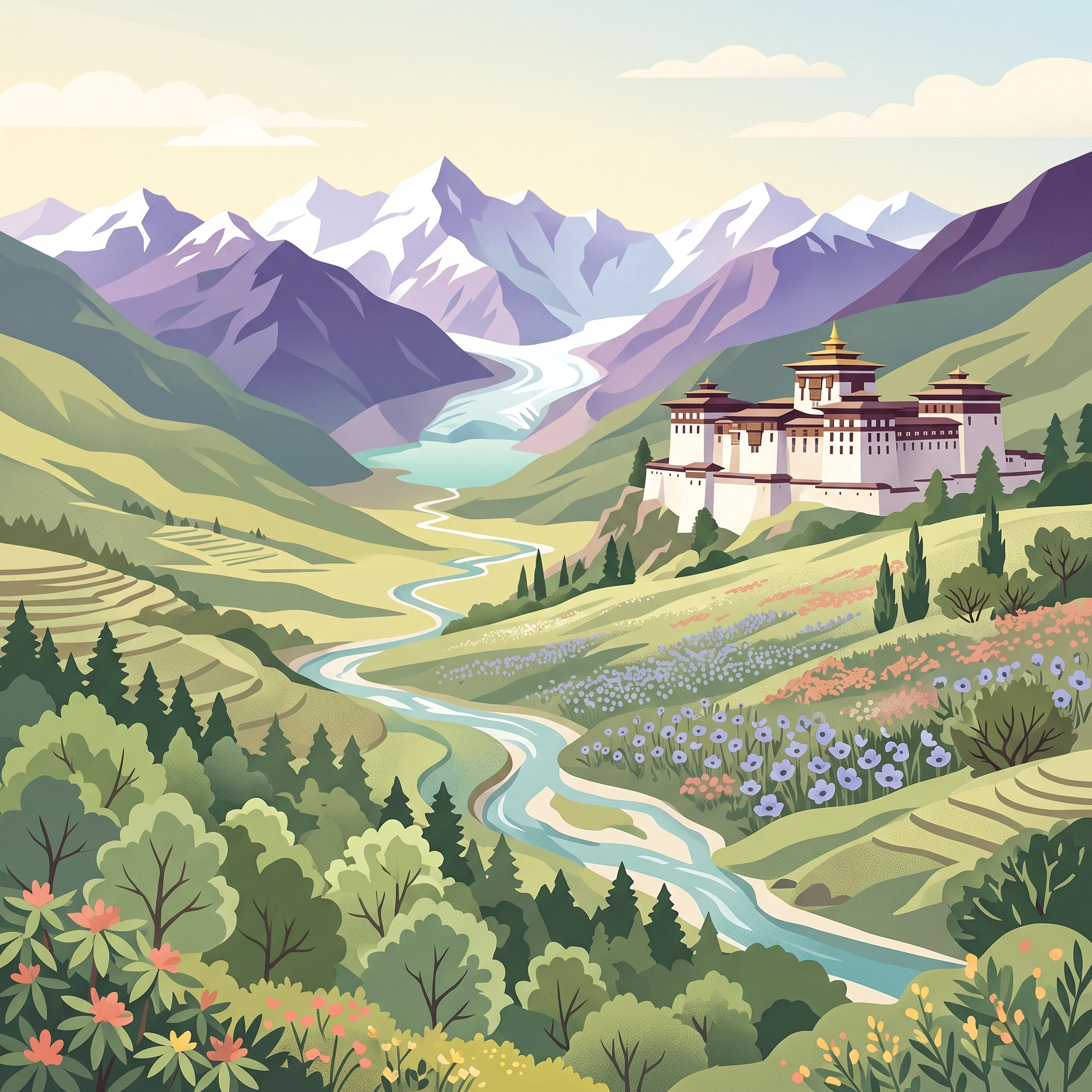
Jigme Dorji National Park represents one of Bhutan's most significant conservation achievements, protecting a vast tract of the Himalayan kingdom's northern wilderness. Established in 1974, the park spans approximately 4,316 square kilometers, making it the second-largest national park in Bhutan. The protected area encompasses an extraordinary range of altitudes from 1,400 meters in the lower valleys to over 7,000 meters in the high peaks, which allows it to include all three of Bhutan's climate zones within a single boundary. This vertical diversity creates habitat conditions for remarkable biodiversity, from subtropical broadleaf forests through temperate conifer zones to alpine meadows and permanent snow. The park's territory covers virtually all of Gasa District along Bhutan's northern border, extending into the northern reaches of Thimphu, Paro, Punakha, and Wangdue Phodrang Districts. Within this rugged terrain live approximately 6,500 people in about 1,000 households, whose traditional subsistence agriculture and animal husbandry practices have shaped the landscape for generations. The park has been designated as a tentative site on Bhutan's Tentative List for potential UNESCO World Heritage inscription, reflecting its outstanding universal value.

Location
Bhutan
Park type
National park
Established
1974
Area
4,316 km²
Jigme Dorji National Park Protected Area
1 guide

Compare thematic resources covering seasonal planning and alpine elevations

Published Reference Guides and Research Material for Jigme Dorji National Park

Published reference materials provide focused insights into seasonal timing and alpine weather patterns across Jigme Dorji National Park. Readers can examine specific planning themes to evaluate trade-offs between mild valley temperatures and sub-zero elevations.
MoriAtlas Explorer

Continue Exploring Jigme Dorji National Park's Geographic and Landscape Context

Delve deeper into the mapped terrain and protected landscape of Jigme Dorji National Park. Understanding its full geographic scope and its place within Bhutan's natural atlas provides critical context for appreciating this significant national park. Discover the intricate details of its boundaries and the diverse ecosystems that define this extraordinary protected area.