
Mori Atlas logo
Nature reserveKaltbrunner Riet

A historic lowland fen and Ramsar site preserving the traditional litter meadow landscapes of the Linthebene valley.

Kaltbrunner Riet Nature Reserve: Exploring the Wetland Geography and Protected Landscapes of St. Gallen

Kaltbrunner Riet represents one of the last surviving wetland fragments in the Linthebene valley floor of St. Gallen, Switzerland. This protected nature reserve preserves a mosaic of shallow wet depressions, reed beds, and traditional litter meadows that characterize the region's historic landscape. By maintaining stable habitats for migratory waterbirds and rare flora, the area functions as a critical ecological stronghold within the broader Swiss plateau.

wetland reservelinthebeneRamsar sitelowland fenStreuwiesenlitter meadows
A minimalist flat illustration showing a landscape with mountains in the background, a forest line in the midground, and wetlands in the foreground.

Kaltbrunner Riet

Nature reserve

Park overview

Structured park overview, official facts, and landscape profile for Kaltbrunner Riet

Kaltbrunner Riet park facts, protected area profile, and essential visitor context

Review the core facts for Kaltbrunner Riet, including designation, size, terrain, visitor scale, habitats, and operating context in one park-focused overview.

About Kaltbrunner Riet

The Kaltbrunner Riet occupies a strategic position in the Linthebene, the valley plain between Lake Walen and Lake Zurich in eastern Switzerland. Although most of the surrounding wetlands were drained and converted to cropland during the 19th and 20th centuries, this reserve survived as an ecological and cultural refuge. The area spans parts of three municipalities in the canton of St. Gallen: Benken, Kaltbrunn, and Uznach, and the core zone today covers roughly 50 hectares of protected land.

What gives the Kaltbrunner Riet its particular character is the ongoing role of traditional land use. The meadows are managed as litter meadows, a low-intensity agricultural practice in which grass is cut late in the season and used for bedding rather than as fresh forage. This management regime, centuries old in the region, has produced and maintained the open wetland habitat structure that supports the reserve's remarkable biodiversity. The visitor center operated by Pro Natura, complete with two observation towers, allows visitors to experience the open character of the landscape and observe wildlife without disturbing sensitive habitats.

The reserve is unusually well-endowed with formal protections. Beyond its Ramsar status, it is designated as a national amphibian spawning area, a lowland fen of national importance, and a migratory and waterbird reserve of national importance. This stacking of conservation designations reflects both the rarity of the habitat and its continuing ecological function in a heavily modified lowland region. The Kaltbrunner Riet stands as a model of how conservation organizations can hold and manage land in the long term, integrating ecological protection with the preservation of a culturally meaningful agricultural landscape.

Protection and recognition

Documented terrestrial protection scope and Ramsar recognition details

Kaltbrunner Riet Protection Status and International Recognition Data

Kaltbrunner Riet maintains documented terrestrial protection and official Ramsar wetland recognition across its wetland expanse. Public designation records outline the conservation framework and international recognition data associated with the protected landscape.

International recognition

Protection details

Protection scope
Terrestrial
Transboundary protection
No
Core area
0.5 km²
Park context

Deeper park guide and search-rich context for Kaltbrunner Riet

Kaltbrunner Riet history, landscape, wildlife, and travel context

Explore Kaltbrunner Riet through its history, landscape character, ecosystems, wildlife, conservation priorities, cultural context, and seasonal travel timing in a structured park guide built for atlas discovery and search intent.

Why Kaltbrunner Riet stands out

Kaltbrunner Riet is best known for being one of the last remnants of the historic wetland landscape of the Linthebene, preserved through traditional litter meadow (Streuwiesen) management. It is recognized internationally as a Ramsar wetland site and carries multiple national-level designations for amphibian breeding habitat, lowland fen character, and waterbird and migratory bird protection. The reserve is closely associated with rare and threatened species such as the marsh gentian (Gentiana pneumonanthe) and the Alcon blue butterfly (Phengaris alcon), whose stable populations here represent one of the last strongholds in Switzerland. The combination of cultural landscape and ecological value makes it a notable example of how traditional land use can sustain biodiversity in a heavily altered lowland region.

A wide panoramic landscape shot of the Kaltbrunner Riet nature reserve, showing green fields, a winding stream, trees, and distant mountains under a blue sky.
Panoramic view of the wetland landscape in Kaltbrunner Riet.

Kaltbrunner Riet history and protected-area timeline

Until the early 19th century, the Linthebene was dominated by extensive wetlands and was subject to recurrent, destructive flooding. The construction of the Escherkanal and the Linthkanal at the beginning of the 1800s tamed the Linth river system and made the valley floor accessible for agriculture. The drained land was put to use, first as litter meadows for traditional farm bedding, and later, through mid-20th-century melioration projects, as cropland. The Kaltbrunner Riet survived this transformation because its value as a natural and cultural landscape was recognized early.

In 1914, on the initiative of the teacher Hans Noll, the St. Gallen Natural Science Society concluded the first protection contracts with the local community of Kaltbrunn, focusing in particular on the conservation of black-headed gulls (Lachmöwen) breeding in the area. Pro Natura acquired 25 hectares of the area in 1939 to preserve the natural landscape, and from that foundation the reserve has grown to its present-day core zone of approximately 50 hectares. The reserve has been shaped both by the historical evolution of the Linthebene and by a century-long campaign of conservation action by scientists, local communities, and conservation organizations.

Kaltbrunner Riet landscape and geographic character

The Kaltbrunner Riet occupies a flat valley landscape in the Linthebene, the lowland corridor between the Alpine foothills and the pre-Alpine lakes. Set between Lake Walen to the east and Lake Zurich to the west, the reserve is characterized by open meadows, shallow wet depressions, and ditches that reflect its wetland origins. The topography is gentle, with the broad sky of the eastern Swiss plateau opening above a mosaic of meadow, reed, and water.

The visual impression of the area is defined not by dramatic relief but by the open, expansive character of an agricultural wetland. Litter meadows (Streuwiesen), the defining land use here, replace the more typical hay meadows of the region and give the landscape a distinctive late-season character. Two observation towers operated by Pro Natura provide elevated vantage points over this flat expanse, allowing the geometry of field patterns, water channels, and surrounding settlements to be appreciated as a coherent cultural-natural landscape.

Kaltbrunner Riet ecosystems, habitats, and plant life

The reserve is ecologically significant as one of the last remaining lowland wetland complexes in the eastern Swiss plateau. The traditional litter meadows have produced an open habitat structure rich in sedges, reeds, and wetland forbs, and the shallow water bodies and ditches provide breeding and feeding habitat for a wide range of species. The vegetation reflects the late-season cutting regime, which favors plants adapted to traditional rather than intensive grass management.

The fen and meadow habitats form a connected mosaic rather than a single uniform vegetation type, and this ecological diversity supports the reserve's unusual concentration of rare species. The structural openness of the meadows is itself a product of long management and creates a habitat type that has almost disappeared elsewhere in Switzerland. The reserve also functions as an amphibian spawning landscape and as a staging area for migratory and waterbirds, linking it to broader flyway and wetland networks beyond the Linthebene.

Kaltbrunner Riet wildlife and species highlights

Kaltbrunner Riet harbors a notable concentration of rare and threatened species, several of which are considered indicator or umbrella species for wetland conservation in Switzerland. The marsh gentian (Gentiana pneumonanthe) and the Alcon blue butterfly (Phengaris alcon) maintain a stable population here, one of the last strongholds for both in the country. The Alcon blue's dependence on the marsh gentian as a host plant makes the reserve particularly important for the survival of this butterfly.

Among amphibians, the European tree frog (Hyla arborea), the northern crested newt (Triturus cristatus), and the smooth newt (Lissotriton vulgaris) all find breeding habitat in the reserve. The short-winged conehead (Conocephalus dorsalis) and the small spreadwing (Lestes virens) are also present, with Kaltbrunner Riet among the last Swiss populations for both. The reserve's status as a national migratory and waterbird reserve reflects the importance of the area for breeding, staging, and wintering waterbirds, including historical populations of black-headed gulls (Lachmöwen) that prompted the area's first formal protection efforts.

Kaltbrunner Riet conservation status and protection priorities

The reserve's conservation profile is exceptionally layered. The Kaltbrunner Riet is designated as a Ramsar wetland of international importance, and within Switzerland it is recognized as an amphibian spawning area of national importance, a lowland fen of national importance, and a migratory and waterbird reserve of national importance. This stacking of designations reflects the rarity of the habitat type in the Swiss lowlands and the unusually complete ecological functions the area continues to perform.

Owned and managed by Pro Natura, the reserve is held in long-term conservation ownership rather than being protected only through regulatory designation. This model allows active management of the meadows, control of visitor access, and investment in infrastructure such as the visitor center and observation towers. The integration of traditional litter meadow use with ecological protection gives the reserve a distinctive conservation model: maintaining biodiversity not by removing agriculture but by preserving the specific low-intensity agricultural regime that historically shaped the habitat.

Kaltbrunner Riet cultural meaning and human context

The Kaltbrunner Riet carries strong cultural and historical significance as a surviving expression of the agricultural landscape that once characterized the Linthebene. The litter meadows (Streuwiesen) here are not merely a habitat feature but a living example of a traditional land use that defined the region for centuries. Cultural history runs through the reserve in every hedgerow, ditch, and late-cut meadow.

The community connection remains active. The first conservation contracts in 1914 were signed between a regional natural science society and the local community of Kaltbrunn, and the reserve has continued to combine local engagement with scientific conservation. This shared history between conservationists, farmers, and local communities is a defining part of the reserve's identity and distinguishes it from purely regulatory protected areas elsewhere in Switzerland.

Top sights and standout views in Kaltbrunner Riet

The reserve's highlights include its status as a Ramsar wetland, its role as one of the last lowland fen habitats of national importance in eastern Switzerland, and its national-level designations for amphibian breeding and migratory waterbirds. The traditional litter meadows (Streuwiesen) preserve an agricultural landscape type that has largely vanished from the rest of the Linthebene.

Ecologically, the stable populations of marsh gentian and Alcon blue butterfly are standout features, as are the last Swiss populations of several amphibian and insect species. Pro Natura's visitor center with two observation towers offers an accessible way to experience the reserve while keeping disturbance to sensitive habitat low.

Best time to visit Kaltbrunner Riet

The classic time to experience the Kaltbrunner Riet is late summer and early autumn, when the traditional litter meadows are at their most distinctive. Because the meadows are cut late in the season for bedding straw rather than for fresh hay, the landscape retains an open, herb-rich character into the warmer months that contrasts with the more intensively managed hayfields elsewhere in the region. Late-season visits also coincide with peak insect diversity, active amphibian movement around breeding waters, and the migration and post-breeding activity of waterbirds for which the reserve is nationally designated.

Spring visits offer a different perspective, with amphibian breeding activity, the early growth of wetland plants, and the return of migratory birds. The reserve's flat landscape and elevated observation towers give it year-round value for visitors interested in wetland ecology, cultural landscapes, and waterbird observation, but the combined ecological and cultural character of the litter meadows is most evident in late summer and early autumn.

Monthly climate preview

Analysis of long-term temperature ranges and precipitation rhythm across the coordinate

Kaltbrunner Riet Climate Normals and Measured Temperature Patterns

Representative baseline coordinates trace measured monthly temperature shifts and precipitation amounts from negative winter averages to positive summer maximums. Examining complete twelve-month normals provides necessary context for understanding the protected area environmental profile.
Annual mean6 °C
-4 °C15 °C
Jan-4°
Feb-4°
Mar
Apr
May10°
Jun13°
Jul15°
Aug15°
Sep11°
Oct
Nov
Dec-3°
Warmest month
July

15.4 °C

Coolest month
January

-4.3 °C

Wettest month
June

5.8 mm/day

Driest month
February

2.9 mm/day

Park location guide

Geography guide, regional context, and park location map for Kaltbrunner Riet

Kaltbrunner Riet park geography, regions, and map view in Switzerland

Understand where Kaltbrunner Riet sits in Switzerland through a broader geographic reading of the surrounding landscape, nearby location context, and its mapped position within the national park landscape.

How Kaltbrunner Riet fits into Switzerland

Switzerland is a landlocked federal republic in Central Europe comprising 26 cantons, with Bern as the federal city and Zurich as the largest city. The country features the Swiss Alps, Swiss Plateau, and Jura Mountains, with German, French, Italian, and Romansh as official languages. It is noted for its political neutrality, direct democracy traditions, and strong economy.

Wider geography shaping Kaltbrunner Riet in Switzerland

Switzerland is located in Central Europe at the intersection of Western and Southern Europe. It is bordered by Germany to the north, France to the west, Austria and Liechtenstein to the east, and Italy to the south. The country is geographically divided among the Swiss Alps (covering most of the territory), the Swiss Plateau (where most of the population resides), and the Jura Mountains. Switzerland is landlocked.

Map view of Kaltbrunner Riet

Use this park location map to pinpoint Kaltbrunner Riet in Switzerland, understand its exact geographic position, and read its mapped placement within the surrounding landscape more clearly.

Pigeon | © OpenStreetMap contributors

Location context for Kaltbrunner Riet

St. Gallen
Recorded earthquake history

Explore Historical Earthquake Records Associated with Kaltbrunner Riet

Examine the seismic history of the Linthebene region through a curated selection of recorded earthquake data. Discover information on past events associated with Kaltbrunner Riet, including magnitude and epicentre coordinates, through the MoriAtlas historical database.

Kaltbrunner Riet Earthquake History

Catalogued events

81 events

Strongest magnitude

Magnitude 4.6

Most recent event

Apr 26, 2026

This history includes earthquakes recorded inside the park or within 50 km of its borders

Visual reference guide to lowland fen habitats and traditional litter meadows

Kaltbrunner Riet Photos and Landscape Scenery: Protected Wetland Views

Photographic collections reveal the flat valley terrain, open water channels, and expansive reed beds that define the protected Kaltbrunner Riet ecosystem. Detailed visual records help observers examine the rare habitat patterns and cultural agricultural landscapes of eastern Switzerland.

A wide panoramic landscape shot of the Kaltbrunner Riet nature reserve, showing green fields, a winding stream, trees, and distant mountains under a blue sky.

Wide angle view of a lush green wetland landscape with small pools of water, a treeline in the midground, and mountain ranges in the distance under a clear blue sky.

Park atlas

Compare regional wetland reserves and protected landscapes across eastern Switzerland

Explore Other Parks Near Kaltbrunner Riet and Surrounding Protected Areas

Browsing other parks near Kaltbrunner Riet reveals connected wetland reserves and lowland fens throughout the surrounding Linthebene valley floor. Extending the geographic comparison highlights regional conservation corridors and protected landscapes situated between Lake Zurich and the Alpine foothills.
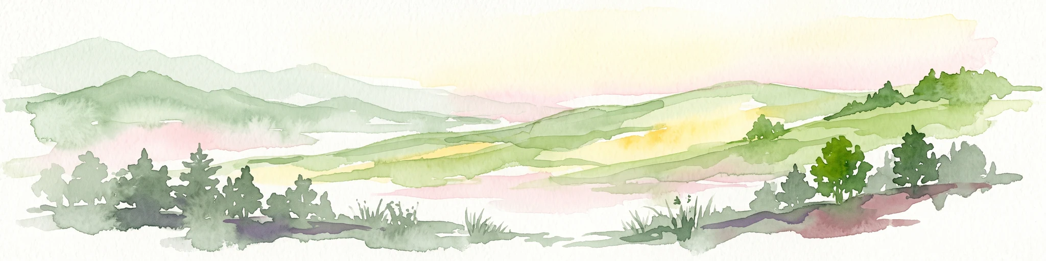
A soft watercolor painting of undulating green hills, meadows, and a winding path against a white background.
Protected landscapeSwitzerland
About 27 km away#1 closest

West

Glaziallandschaft Lorze, Sihl mit Höhronenkette und Schwantenau: Landscape and Terrain Atlas

A study of glacial formations and protected Swiss ecosystems.

Trace the moraine-dominated terrain and river gorges of this nationally recognized protected landscape. From the drumlin fields near Menzingen to the rare peatland habitats of the Schwantenau, this area offers a comprehensive look at the geological and hydrological history of the Swiss Pre-Alps.

Area
10.808 km²
Relief
Mountain
Climate
Alpine
Access
Moderate access
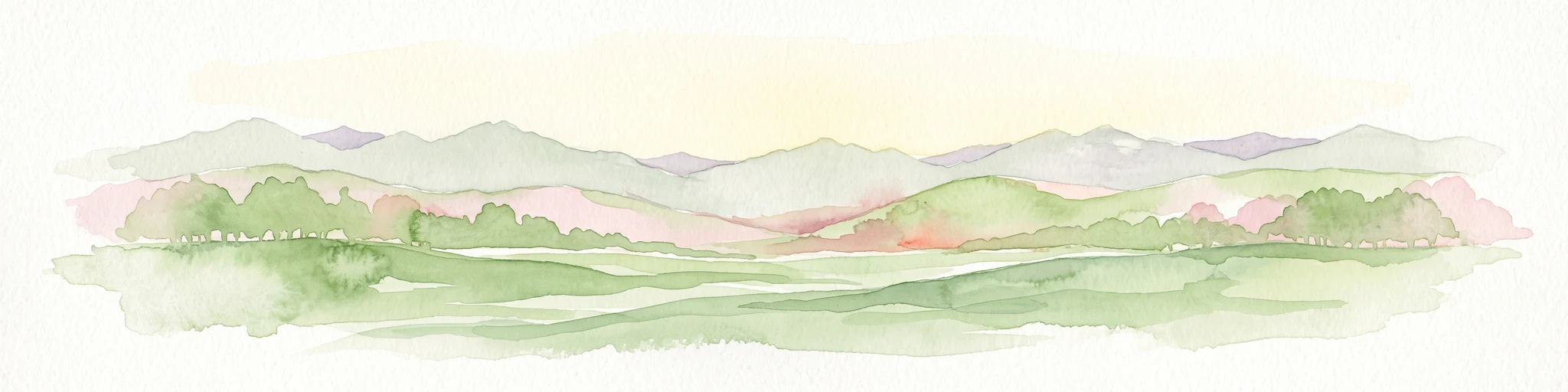
A watercolor painting showing soft rolling green hills, a few small trees, and distant hazy mountain silhouettes under a pale sky.
Nature reserveSchwyz
About 28 km away#2 closest

Southwest

Ibergeregg Nature Reserve: Mapped Protected Landscapes and Alpine Geography of Schwyz

A highland pass and wetland ecosystem in the Swiss pre-Alps

The Ibergeregg nature reserve represents a high, flat saddle in the Schwyz pre-Alps, serving as a landmark for its expansive raised bogs, flat moors, and protected moor forest systems. This documentation details the geographic features, watershed position, and protected status of the pass as it transitions from alpine pasture to high-altitude wetland habitat.

Relief
Mountain
Climate
Alpine
Access
Easy access
Scope
Terrestrial
Protected landscapeZürich
30 km away#3 closest

West

Wildnispark Zürich: Atlas and Geographic Overview of the Protected Landscape

Swiss nature reserve located in the Canton of Zürich

Wildnispark Zürich manages roughly twelve square kilometers of land, bridging the gap between urban density and wild forest environments. The site includes the Sihlwald, a large tract of mixed beech forest, and the Langenberg wildlife area. This atlas entry covers the park geography, its role within the Mittelland forest corridor, and the distribution of protected zones that support native European species.

Area
12 km²
Established
2009
Visitors
600K annual
Relief
Upland
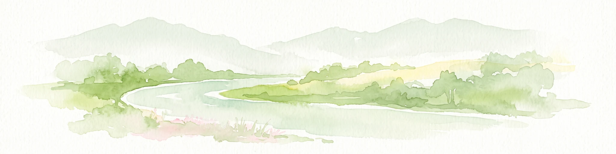
Light watercolor illustration of a winding river or lake curving through green trees and vegetation with pale mountains in the distant background
Nature reserveLiechtenstein
About 39 km away#4 closest

East

Gampriner Seelein Nature Reserve: Geographical Context and Mapped Protected Boundaries

A rare natural lake within the Rhine Valley lowlands

Gampriner Seelein serves as a vital nature reserve and the sole naturally formed lake in Liechtenstein. Formed by historic Rhine flood events, this site preserves a rare floodplain forest ecosystem and managed wetland, providing essential habitat for diverse aquatic species and birds within a densely developed regional geography.

Area
0.015 km²
Established
1961
Relief
Lowland
Climate
Temperate
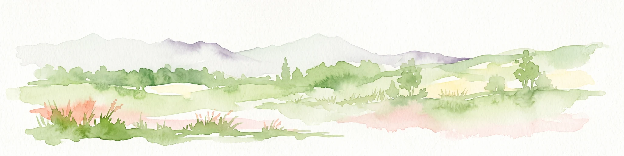
A watercolor illustration of a landscape with green meadows, trees, and soft mountains in the background, set against a white background.
Nature reserveLiechtenstein
41 km away#5 closest

East

Ruggeller Riet Nature Reserve: Geographic Context and Mapped Wetland Boundaries in Liechtenstein

A vital lowland moorland and wetland ecosystem in the Rhine valley.

Ruggeller Riet serves as the primary lowland nature reserve in Liechtenstein, featuring an expansive 88-hectare wetland landscape. Positioned in the Alpine Rhine valley near the tripoint with Austria and Switzerland, this protected area preserves the post-glacial history of the region through its distinctive peat meadows, bogs, and grassland habitats.

Area
0.88 km²
Established
1978
IUCN
Ia
Relief
Lowland
A wide watercolor illustration showing a landscape of green fields, trees, small white buildings, and distant purple mountains.
Biosphere reserveVorarlberg
About 43 km away#6 closest

East

Biosphere Reserve Großes Walsertal: Regional Geography and Protected Alpine Landscapes

A mapped conservation zone within the Vorarlberg Alps

Biosphere Reserve Großes Walsertal encompasses a protected valley characterized by significant geological diversity. Explore the transition from the soft flysch ridges of the Walserkamm to the dramatic limestone crests of the Kalkhochalpen, reflecting a modern approach to managing Alpine natural resources and cultural heritage in western Austria.

Area
192.31 km²
Established
2000
Regional parkGraubünden
50 km away#7 closest

Southeast

Naturpark Beverin: Exploring Alpine Gorges and Cultural Landscapes in Graubünden

A regional nature park shaped by high alpine ridges and ancient settlement traditions.

Naturpark Beverin encompasses a vast, multi-layered environment in the Swiss Alps. The area is defined by the sharp vertical contrast between carved river gorges like the Viamala and high-elevation ridges. Beyond the rugged mountain terrain, this protected landscape preserves centuries of pastoral history through the distinct settlement traditions of its Romanesque and Walser valleys.

Area
515 km²
Established
2013
Relief
Mountain
Climate
Alpine
A horizontal watercolor painting showing a calm lake shore with green trees, reeds, and soft reflections on the water surface.
Nature reserveBaden-Württemberg
51 km away#8 closest

North

Bodanrück und westl. Bodensee: Mapped Geography of an Extensive Nature Reserve

A glacial peninsula protected area in Baden-Württemberg

The Bodanrück und westl. Bodensee nature reserve represents a sprawling mosaic of ground moraines, drumlins, and kettle lakes along the shoreline of Lake Constance. This protected area supports a diverse array of habitats, from tufa-forming springs and alluvial forests to species-rich hay meadows, reflecting the complex ecological history of the German southwest.

Area
143.407 km²
Established
2004
Relief
Mixed relief
Climate
Temperate

Common questions about visiting, size, designation, and location context for Kaltbrunner Riet

Kaltbrunner Riet FAQs for park facts, access, geography, and protected area context

Find quick answers about Kaltbrunner Riet, including protected-area facts, park geography, trail and visitor context, and how the park fits into its surrounding country and regional landscape.
MoriAtlas Explorer

Continue Your Protected Areas Search Across the Global Atlas

Deepen your exploration by continuing the structured search for national parks and protected areas worldwide. Utilize the comprehensive filtering capabilities to compare different conservation landscapes and refine your understanding of global park geography. Discover more about the distribution and characteristics of protected natural areas.

Global natural geography