Mori Atlas logo
Nature reserveKaninchenberge

Explore the forest mosaic and sandy terrain of this vital North Rhine-Westphalia conservation area.

Kaninchenberge Nature Reserve: Mapped Inland Dune Landscapes and Protected Heathlands

(Naturschutzgebiet Kaninchenberge)

Kaninchenberge represents a distinctive inland dune landscape situated within the Lower Rhine region of North Rhine-Westphalia. The reserve protects a complex mosaic of mid-aged pine forests, younger oak and birch woodland, and rare open heathland remnants. As a recognized European FFH site within the Natura 2000 network, the area provides essential habitat structures for regional biodiversity across its sandy substrate.

nature reserveinland dunesheathlandpine forestmixed woodlandoak forest

Kaninchenberge

Nature reserve

Park overview

Structured park overview, official facts, and landscape profile for Kaninchenberge

Kaninchenberge park facts, protected area profile, and essential visitor context

Review the core facts for Kaninchenberge, including designation, size, terrain, visitor scale, habitats, and operating context in one park-focused overview.

About Kaninchenberge

Kaninchenberge is a compact, ecologically significant nature reserve in western Germany, located in the municipality of Hünxe in the district of Wesel in North Rhine-Westphalia. The reserve lies within the Speller Heide, a larger forested landscape of the Lower Rhine, and occupies a transitional position between the Hünxe district of Bucholtwelmen and the Friedrichsfeld district of Voerde.

The defining feature of Kaninchenberge is its substrate: an inland dune field that formed during the post-glacial period and that historically supported open heathland vegetation. Although much of the original heath has been lost to forest succession over time, the reserve still preserves meaningful remnants of this habitat alongside regenerating open areas. Most of the area is wooded, with around 90 percent covered by forest that is dominated by pine in its mid-aged sections and supplemented by younger broadleaf stands of oak and birch. The birch stands in particular carry heather-rich understory, creating a transitional habitat between woodland and open heath.

In the northern section of the reserve, the character shifts to a more open mosaic of heaths and species-poor grasslands on sandy substrates, often referred to as Magerrasen. These open areas are an important component of the site's ecological value, supporting specialist fauna and the plant communities adapted to nutrient-poor sandy soils that have largely disappeared elsewhere in more intensively used parts of the Lower Rhine.

Kaninchenberge received formal protection as a Naturschutzgebiet in 1989. Since 2004, it has also been designated as the FFH area DE-4306-303, bringing it into the European Natura 2000 network. The FFH boundary is essentially the same as the nature reserve boundary, with only two small peripheral patches in the northwest excluded. This dual designation reflects the importance of the site for protecting habitats and species considered of community interest under the EU Habitats Directive, and reinforces its role as a piece of the wider European ecological network rather than just a local protected area.

Quick facts and research context for Kaninchenberge

Kaninchenberge is a small but ecologically focused nature reserve of about 106 hectares in Hünxe, North Rhine-Westphalia, situated in the Lower Rhine landscape within the broader Speller Heide forest area. It was designated in 1989 under the identifier WES-046 and has been part of the Natura 2000 network as the FFH site DE-4306-303 since 2004.

The reserve is managed under the landscape plan Hünxe/Schermbeck by the lower landscape authority of the Kreis Wesel district. Its IUCN management category is IV, indicating a habitat and species management area, and its core ecological value lies in the inland dune system with heath remnants and mixed pine, oak, and birch forest.

Protection and recognition

Documented terrestrial protection history and Natura 2000 listings

Kaninchenberge Protection Status and International Recognition Data

Kaninchenberge holds a documented terrestrial protection status established in 2004 alongside official Natura 2000 recognition records. Structured conservation data details the designation history and management scope associated with this protected area.

International recognition

Protection details

Protection scope
Terrestrial
Designated year
2004
Transboundary protection
No
WDPA ID
164015
Park context

Deeper park guide and search-rich context for Kaninchenberge

Kaninchenberge history, landscape, wildlife, and travel context

Explore Kaninchenberge through its history, landscape character, ecosystems, wildlife, conservation priorities, cultural context, and seasonal travel timing in a structured park guide built for atlas discovery and search intent.

Why Kaninchenberge stands out

Kaninchenberge is best known for its inland dune system with relict heathland vegetation, a relatively rare combination in the Lower Rhine. The reserve is recognized for protecting a mosaic of mid-aged pine-dominated mixed forest, younger oak and birch woodland, heather-rich understory, and open heaths and nutrient-poor grasslands in the northern part of the area. It is also notable for being integrated into the European Natura 2000 network as an FFH site, with species of EU conservation interest such as woodlark, lapwing, and field cricket documented within the protected area.

Kaninchenberge history and protected-area timeline

Kaninchenberge was formally designated as a Naturschutzgebiet in 1989, providing official protection for an inland dune landscape that had long been shaped by sandy substrates and a legacy of heathland use in the Lower Rhine region. The reserve is incorporated into the landscape plan of Hünxe and Schermbeck, which guides management of the surrounding area, and it has been administered by the lower landscape authority of the Kreis Wesel district.

In 2004 the site received an additional layer of protection when it was formally recognized as an FFH area under the Natura 2000 network of the European Union. With the designation as DE-4306-303 Kaninchenberge, its dunes, heath fragments, and forest mosaic became part of a transnational framework for habitat and species conservation, and its boundaries were essentially aligned with those of the national nature reserve, aside from two small northwestern edge areas.

Kaninchenberge landscape and geographic character

The landscape of Kaninchenberge is shaped by an inland dune field, a relict of past climatic and geomorphological conditions in the Lower Rhine. The sandy substrate defines the terrain and continues to support vegetation communities that are unusual in the wider region, including open heaths and species-poor, nutrient-poor grasslands. Today the dunes are largely hidden beneath a forest cover, but their influence on soil conditions, drainage, and plant composition remains visible in the structure of the natural communities.

Forest dominates the visual character of the reserve, with pine forming the backbone of older stands and oak and birch contributing to younger successional phases. In the northern part of the area, the forest opens up into a more varied mosaic of heaths and Magerrasen, providing contrast to the uniform woodland matrix. The diversity between dry, open sandy habitats and shaded pine forest gives the small site a strong sense of internal contrast, despite its modest size.

Kaninchenberge ecosystems, habitats, and plant life

Kaninchenberge's ecological character rests on the interplay between inland dune substrates, a fragmentary but still recognizable heathland legacy, and forest communities of mixed age and composition. The sandy soils support vegetation adapted to dry, nutrient-poor conditions, and the site's open and semi-open habitats are among its most ecologically valuable elements.

Roughly nine-tenths of the reserve is forested, and within this the mid-aged pine-dominated mixed woods form the structural framework. Younger oak and birch stands add diversity, and in parts of the understory heather shrubs establish a heath-like ground layer. In the northern sector, this woodland-dominated pattern gives way to more open heath and grassland vegetation, which contributes species and structural diversity that the denser forest does not provide on its own.

Kaninchenberge wildlife and species highlights

Within the framework of the EU Habitats Directive and Birds Directive, Kaninchenberge is notable for supporting species of community interest, including woodlark, lapwing, and field cricket. These species are tied to the more open, sandy-ground habitats that the reserve preserves, particularly the heath remnants and nutrient-poor grasslands in the northern part of the area.

The presence of both late successional pine forest and earlier-stage open habitats allows the reserve to support different ecological groups within a small footprint, from ground-nesting birds and invertebrates of dry, heathy terrain to woodland bird species associated with mature coniferous and broadleaf stands.

Kaninchenberge conservation status and protection priorities

Kaninchenberge is significant from a conservation perspective because it protects a rare combination of inland dunes, residual heathland, and mixed pine-broadleaf forest on sandy soils in an otherwise heavily used part of the Lower Rhine. Its 1989 designation as a Naturschutzgebiet and its 2004 incorporation into the Natura 2000 network as FFH site DE-4306-303 together reflect both its national and its European ecological value.

The reserve is classified as an IUCN Category IV area, defined as a habitat and species management area, meaning its management is explicitly oriented toward maintaining and developing specific habitats and species rather than leaving the site to unmanaged natural processes. The management framework under the Hünxe/Schermbeck landscape plan and the oversight of the lower landscape authority of Kreis Wesel underline the site's role as part of a structured regional conservation strategy.

Top sights and standout views in Kaninchenberge

Kaninchenberge stands out for the rare inland dune landscape it conserves within the Lower Rhine, combined with surviving fragments of a once more extensive heathland. The mosaic of mid-aged pine mixed forest, younger oak and birch woodland, and open heaths and nutrient-poor grasslands gives the site a layered ecological identity that is unusually rich for its compact size.

The reserve's double status as a national nature reserve and a European FFH site reinforces its significance, allowing it to contribute simultaneously to regional biodiversity protection and to the wider European Natura 2000 network.


Monthly climate preview

Long-term representative monthly temperature and precipitation data for Kaninchenberge

Kaninchenberge Climate Normals and Measured Annual Temperature Patterns

Historical NASA Power records spanning 1991 to 2020 outline monthly temperature swings and daily precipitation averages at a representative coordinate within Kaninchenberge. Examining the full twelve-month profile clarifies long-term thermal variations and baseline precipitation rhythms across the protected terrain.
Annual mean10 °C
1 °C19 °C
Jan
Feb
Mar
Apr
May13°
Jun16°
Jul19°
Aug18°
Sep15°
Oct10°
Nov
Dec
Warmest month
July

18.6 °C

Coolest month
January

1.5 °C

Wettest month
December

2.8 mm/day

Driest month
April

1.6 mm/day

Park location guide

Geography guide, regional context, and park location map for Kaninchenberge

Kaninchenberge park geography, regions, and map view in Germany

Understand where Kaninchenberge sits in Germany through a broader geographic reading of the surrounding landscape, nearby location context, and its mapped position within the national park landscape.

How Kaninchenberge fits into Germany

Germany is a federal republic in Western and Central Europe with a population of over 83 million across sixteen constituent states. It is Europe's largest economy by nominal GDP and a major global exporter and importer. The capital is Berlin, and the country borders Denmark, Poland, Czech Republic, Austria, Switzerland, France, Luxembourg, Belgium, and the Netherlands.

Wider geography shaping Kaninchenberge in Germany

Germany is located in Western and Central Europe, spanning 357,022 km². It borders Denmark to the north, Poland and the Czech Republic to the east, Austria and Switzerland to the south, and France, Luxembourg, Belgium, and the Netherlands to the west. The country has coastlines on the Baltic Sea and North Sea to the north, with the Alps located in the southern region.

Map view of Kaninchenberge

Use this park location map to pinpoint Kaninchenberge in Germany, understand its exact geographic position, and read its mapped placement within the surrounding landscape more clearly.

Pigeon | © OpenStreetMap contributors

Location context for Kaninchenberge

North Rhine-Westphalia
Recorded earthquake history

Review the Historical Earthquake Catalogue for Kaninchenberge

MoriAtlas offers a comprehensive look at recorded seismic events associated with Kaninchenberge. Examine factual data on historical magnitudes, epicentre locations, and proximity metrics to better understand the regional seismic history of this North Rhine-Westphalia nature reserve.

Kaninchenberge Earthquake History

Catalogued events

74 events

Strongest magnitude

Magnitude 4.6

Most recent event

Sep 8, 2011

This history includes earthquakes recorded inside the park or within 50 km of its borders

Park atlas

Compare regional protected landscapes and connected natural habitats

Exploring Parks Near Kaninchenberge and Surrounding Protected Areas

Browse other protected areas near Kaninchenberge to examine shared inland dune terrain and regional forest reserves across the Lower Rhine. Continued comparison reveals how adjacent conservation zones preserve similar sandy substrates and heathland relicts.
Nature reserveNorth Rhine-Westphalia
4.8 km away#1 closest

Northwest

Unterer Niederrhein Nature Reserve: Geographic Atlas and Floodplain Landscape Mapping

Riverine wetland ecosystems in North Rhine-Westphalia

Uncover the protected landscape of Unterer Niederrhein, an expansive bird protection area along the German Lower Rhine. The region features a mosaic of sand banks, oxbow lakes, and seasonally flooded grasslands, creating a highly interconnected riverine ecosystem that spans across the districts of Kleve and Wesel.

Area
258.094 km²
Established
1983
Relief
Lowland
Climate
Temperate
Nature reserveNorth Rhine-Westphalia
12 km away#2 closest

Northeast

Lichtenhagen Nature Reserve: Protected Lowland Landscapes and Habitat Geography in Wesel

A critical habitat mosaic for regional reptile and amphibian populations.

Lichtenhagen constitutes a distinct protected site within the Lower Rhine region, showcasing a unique ecological transition between heathland, still-water basins, and oak-dominated woodland. This former industrial site provides a protected refuge for the common European adder, smooth snake, and grass snake, representing a crucial case study in landscape restoration and regional conservation within North Rhine-Westphalia.

Area
1.1 km²
Established
1981
IUCN
IV
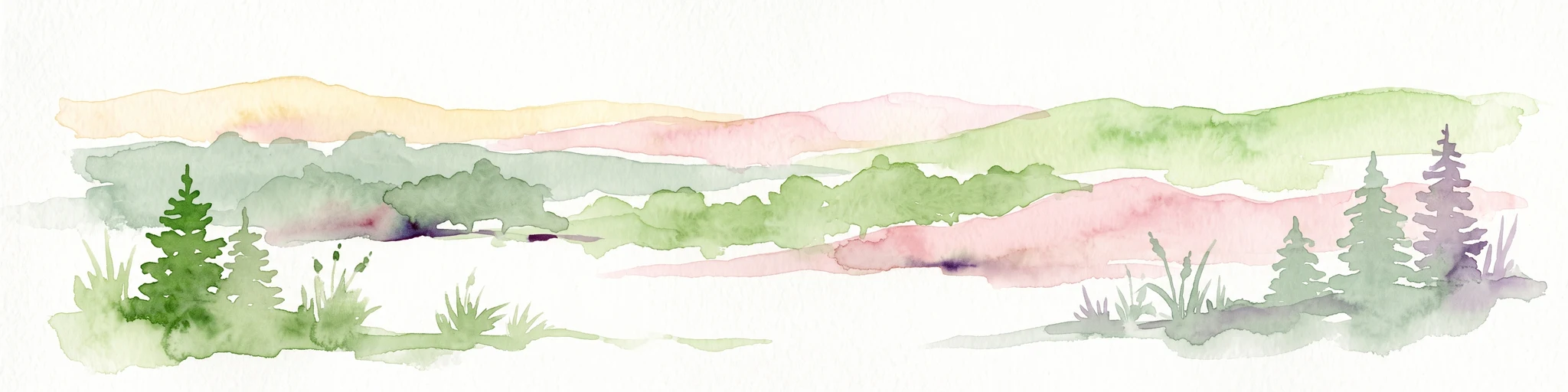
A watercolor painting showing a soft, stylized forest landscape with rolling hills, evergreen trees, and grasses against a white background.
Nature reserveNorth Rhine-Westphalia
15 km away#3 closest

Southeast

Köllnischer Wald: Geographic Analysis of a Protected Nature Reserve in North Rhine-Westphalia

Mapped broadleaf woodland and lowland forest geography.

Köllnischer Wald stands as a 188-hectare nature reserve in North Rhine-Westphalia, representing the largest near-natural broadleaf forest in the Westphalian plain. This site offers an insightful look into how forest ecosystems on diverse geological substrates adapt to anthropogenic shifts in hydrology and landscape management within industrialized areas.

Area
1.879 km²
Established
1988
IUCN
IV
Relief
Lowland
Nature reserveNorth Rhine-Westphalia
About 18 km away#4 closest

Northwest

Lange Renne Nature Reserve: Mapping the Geography of a Lower Rhine Floodplain Oxbow

Protected riparian habitat in the North Rhine-Westphalia district of Kleve

Lange Renne functions as a focused conservation zone along a historic Rhine channel. The area features a 1.5-kilometre-long oxbow lake with a marshy shoreline, riparian woodland, and wet meadows. By protecting the southern half of this waterbody, the reserve provides a critical, undisturbed habitat for rare plant communities and aquatic species that define the ecological character of the Lower Rhine landscape.

Area
0.13 km²
Established
2010
Relief
Lowland
Climate
Temperate
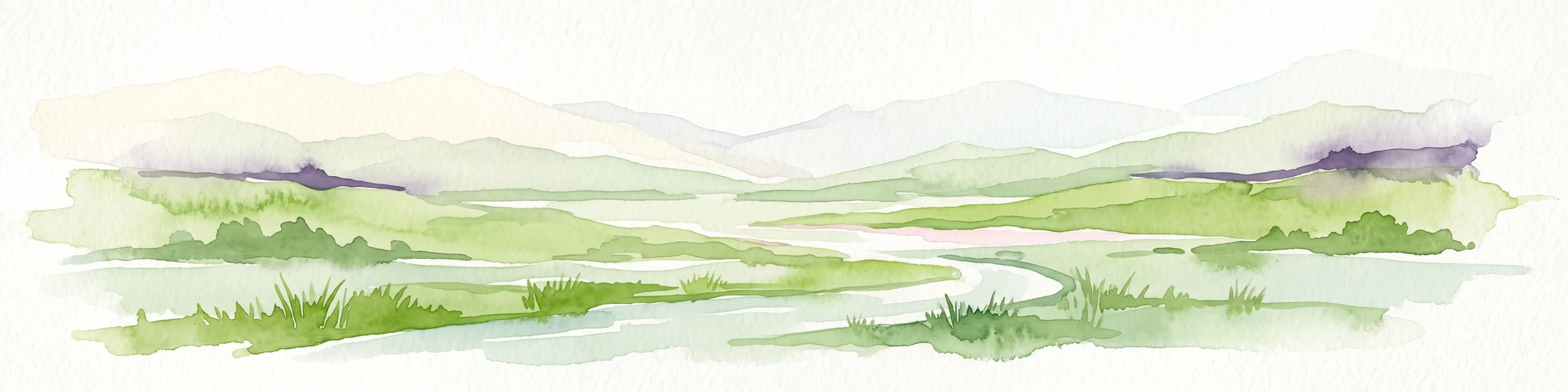
A watercolor painting showing a soft green rolling landscape, a winding stream in the foreground, and distant hills under a white background.
Protected landscapeGermany
About 18 km away#5 closest

Northeast

Naturpark Hohe Mark: Protected Landscape and Regional Geography Overview

Mapped terrain in North Rhine-Westphalia, Germany.

Gain insight into the complex topography of Naturpark Hohe Mark, an expansive protected area characterized by its transition from sandy upland forests to wetland-rich river valleys. This detailed overview covers the essential landscape features, regional boundaries, and ecological diversity that distinguish the park as a key geographical entity in Germany.

Area
1,978 km²
Established
1963
Relief
Mixed relief
Climate
Temperate
Nature reserveNorth Rhine-Westphalia
About 20 km away#6 closest

Northwest

Sonsfeldsches Bruch, Hagener Meer und Düne: Geography and Protected Area Overview

Nature reserve featuring Rhine oxbows and inland dune landscapes.

Sonsfeldsches Bruch, Hagener Meer und Düne represents a compact but ecologically significant nature reserve in the Lower Rhine region. The area integrates a historic Rhine branch, extensive wetland corridors, and a distinctive inland dune, creating a multifaceted habitat mosaic that contrasts sharply with the surrounding agricultural plains of North Rhine-Westphalia.

Area
0.48 km²
Established
1986
IUCN
IV
Relief
Lowland
A soft watercolor painting of a valley scene featuring green hills in the distance, marshy vegetation, and a winding stream, rendered in light pink and green tones on a white background.
Nature reserveNordrhein-Westfalen
About 23 km away#7 closest

Southeast

Hexbachtal Nature Reserve: Geography and Protected Landscape Analysis in Nordrhein-Westfalen

Essential green corridor and floodplain forest network

Hexbachtal serves as a crucial protected area and green corridor within the highly urbanized Ruhr region of Germany. The site features a diverse range of habitats including wet meadows, ancient floodplain forests, and a meandering stream system. Beyond its ecological function, the valley is recognized as a landmark of regional planning and successful landscape conservation, illustrating the interaction between natural floodplains and metropolitan growth.

Area
0.042 km²
Established
2005
IUCN
IV
Relief
Upland
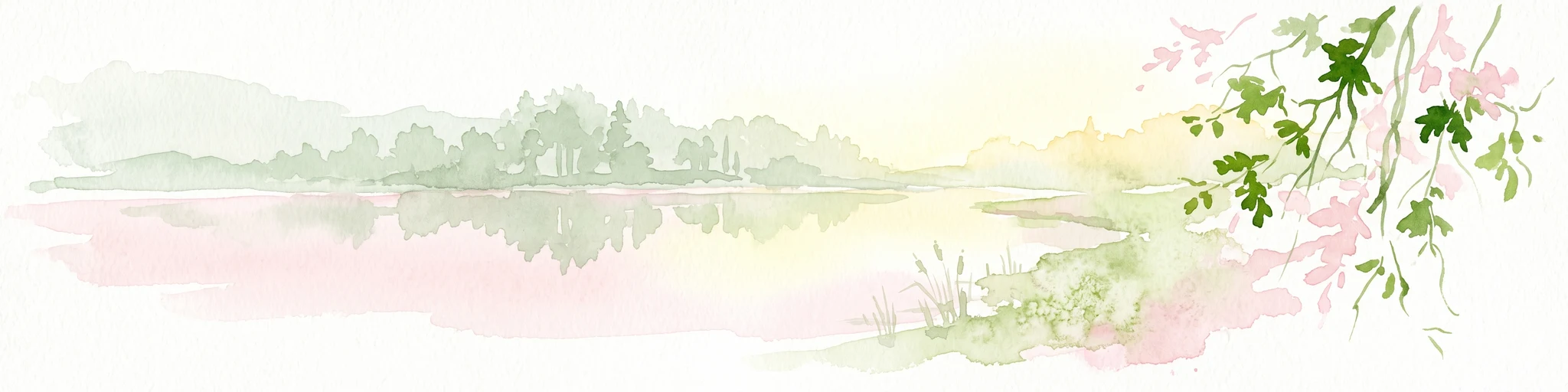
Watercolor painting of a tranquil pond at Kranenmeer, showing reflective water, distant tree lines, and foreground foliage hanging from the upper right corner.
Nature reserveNordrhein-Westfalen
24 km away#8 closest

Northeast

Kranenmeer Nature Reserve: Mapped Geography and Protected Wetland Boundaries

A preserved moorland enclave in the Westmünsterland region.

Kranenmeer preserves a fragile mosaic of open water, bog vegetation, and alder carr woodland in a compact site within Nordrhein-Westfalen. Study the mapped protected boundaries and subtle terrain transitions of this significant nature reserve that serves as a vital habitat for rare amphibians and specialized wetland species in the lowland northwest of Germany.

Area
1.4 km²
Established
1950
Relief
Lowland
Climate
Temperate

Common questions about visiting, size, designation, and location context for Kaninchenberge

Kaninchenberge FAQs for park facts, access, geography, and protected area context

Find quick answers about Kaninchenberge, including protected-area facts, park geography, trail and visitor context, and how the park fits into its surrounding country and regional landscape.
MoriAtlas Explorer

Continue Your Protected Areas Search Across the Global Atlas

Deepen your exploration by continuing the structured search for national parks and protected areas worldwide. Utilize the comprehensive filtering capabilities to compare different conservation landscapes and refine your understanding of global park geography. Discover more about the distribution and characteristics of protected natural areas.

Global natural geography