
A detailed index of glacial, marine, and coastal terrain features across the park
Named Natural Features and Geographic Landscapes of Kenai Fjords National Park in Alaska
This collection provides a structured look at the diverse natural features found throughout Kenai Fjords National Park. From the expansive Harding Icefield to the deeply carved coastal fjords and surrounding mountain summits, these records document the geological and hydrological markers that define this dramatic Alaskan landscape. Users can examine specific terrain types and coastal formations that define the boundary between the ice-capped interior and the Pacific ocean.
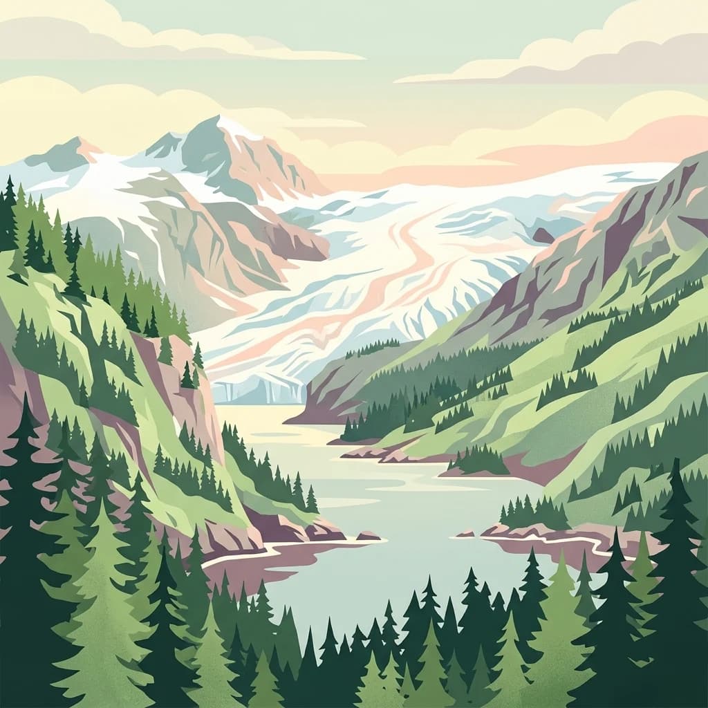
A geographic guide to the glaciers, marine bays, and mountain peaks of the Kenai Peninsula
Major Geographic and Natural Features Associated with Kenai Fjords National Park
Mapped ice features and landscape distribution
Glaciers
Discover the specific glaciers associated with the Harding Icefield and the mountainous coastline of Kenai Fjords National Park. This geographic overview provides structured data on individual ice bodies, their spatial relationship to deep-carved fjords, and their role as active agents in the park geomorphology.
Documenting watercourse patterns in a glaciated landscape
Streams
This geographic collection documents named streams occurring within the boundaries of Kenai Fjords National Park. Each record offers insight into the hydrological network carved by glacial retreat, illustrating how water travels from the Harding Icefield toward the Pacific coast through complex mountain channels.
Kenai Fjords National Park
Explore the map, landscapes, and protection details for Kenai Fjords National Park.