
A structured index of mountain peaks, lake systems, and protected forest corridors.
Geographic Features and Natural Landscapes of Killarney National Park in Southwest Ireland
Explore the diverse natural terrain within Killarney National Park through this mapped collection of named geographic entities. The resource catalogs significant landforms and aquatic systems, ranging from the expansive Lough Leane basin to the elevated sandstone ridges of the Shehy and Mangerton mountains. Each featured landmark provides context regarding the park's internal topography, ancient yew woodlands, and interconnected wetlands that define this protected Atlantic landscape.
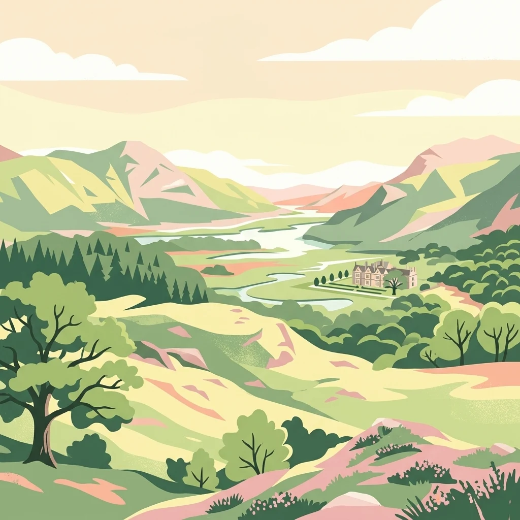
Navigating the peaks, valleys, and deep glacial lakes within southwest Ireland's protected terrain
Explore the Named Natural Features and Waterways of Killarney National Park
Geography of lake-bound terrain in southwest Ireland.
Islands
Trace the distribution of islands across the freshwater systems of Killarney National Park. This geographic index catalogs discrete landforms situated within local lakes, offering a detailed perspective on the park's internal topography, shoreline development, and the structural diversity of its protected water bodies.
Mapping the aquatic basins of Ireland's southwestern protected landscapes
Lakes
Explore the distinct lake features identified within Killarney National Park. This collection highlights the basin structures, surface water presence, and spatial relationships between these inland aquatic entities and the surrounding mountain and woodland terrain of the park.
Spatial survey of mountain peaks and elevated terrain features
Peaks
Access a structured collection of named peaks located throughout the mountain regions of Killarney National Park. This resource focuses on identifying summit locations and topographic characteristics to support a deeper understanding of the park's diverse highland geography and ridge systems.
Mapped projections and land-water configurations
Peninsulas
Discover the named peninsula features within Killarney National Park. This catalog highlights the spatial relationship between these land projections and the lakes, mountains, and ancient woodlands that define the geography of the park.
Geographic catalog of park water features
Waterfalls
Explore the named waterfall and cascade sites found across Killarney National Park. The collection highlights the relationship between stream channels, local rock formations, and the park mountainous landscape across the region.
Continue Your Atlas Exploration of Killarney National Park's Geography
To deepen your understanding of Killarney National Park's protected landscape, delve into its specific geographic features and mapped context. MoriAtlas offers the tools to trace its park boundaries and compare its regional setting, providing a structured approach to exploring Ireland's significant natural areas and enhancing your atlas-based knowledge.