
Mori Atlas logo
Protected landscapeKiowa National Grassland

Mapping the semi-arid steppe, red-rock canyon systems, and historic prairie trails of the American Great Plains.

Kiowa National Grassland: An Atlas of Protected Landscapes and Canyon Geography in New Mexico

Kiowa National Grassland encompasses a vast mosaic of shortgrass prairie and rugged canyon terrain across the southwestern Great Plains of New Mexico. This protected landscape preserves the dramatic red-rock walls of the Canadian River Canyon, expansive sagebrush flats, and significant remnants of the historic Santa Fe Trail. By tracing these boundaries, researchers and explorers can understand the interplay between native steppe ecosystems and the working ranching lands that define this portion of the region.

national grasslandshortgrass prairieGreat Plainssemiarid steppeCanadian River CanyonSanta Fe Trail
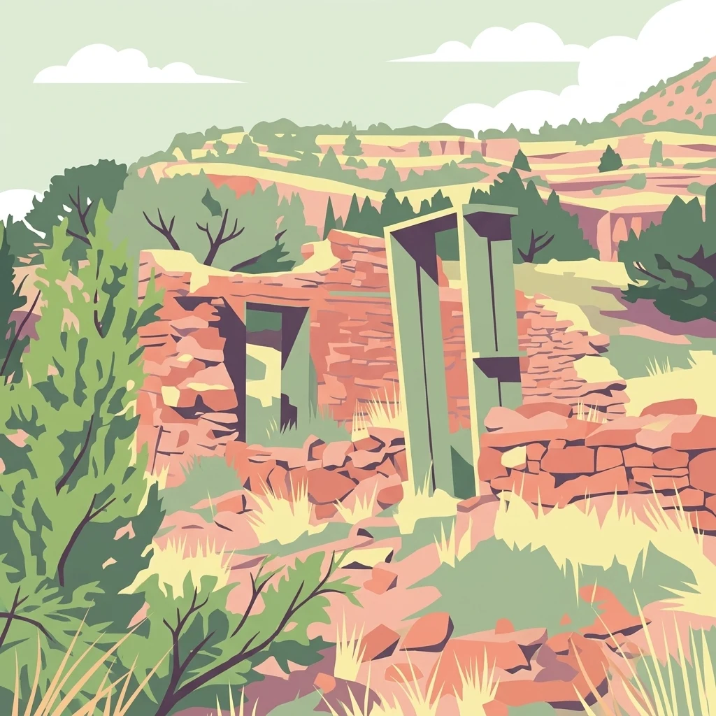
A stylized, flat-color digital illustration depicting old stone ruins, possibly a homestead, surrounded by grassland and shrubs with a tiered, hilly landscape in the background under a pale sky.

Kiowa National Grassland

Protected landscape

Park overview

Structured park overview, official facts, and landscape profile for Kiowa National Grassland

Kiowa National Grassland park facts, protected area profile, and essential visitor context

Review the core facts for Kiowa National Grassland, including designation, size, terrain, visitor scale, habitats, and operating context in one park-focused overview.

About Kiowa National Grassland

Kiowa National Grassland occupies a substantial corner of northeastern New Mexico, where the high plains of the southwestern Great Plains edge against mesas, canyons, and breaks. The National Grassland is split into two non-adjacent units: a larger western unit spanning parts of Harding, Mora, and Colfax counties, and a smaller eastern unit in Union County near the Oklahoma and Texas borders. Together they form a tapestry of public parcels intermixed with private ranchland, an arrangement that reflects both the land-use history and the patchwork pattern of conservation ownership across this part of the Great Plains.

The defining character of Kiowa is its semi-arid shortgrass prairie, often referred to as steppe, which spreads across most of the terrain in rolling sweeps of grass and low vegetation. This open landscape is broken by rougher terrain that holds pinyon-juniper woodland, scattered ponderosa pine in the Canadian River Canyon, sand sagebrush flats that mark drier sandy soils, and cottonwood-willow riparian strips along the only permanent stream in the area. Playa lakes dot the plains, filling with rainwater for part of the year and providing habitat diversity typical of the western Great Plains.

The grassland sits at elevations high enough to slightly moderate the surrounding plains climate, sitting between roughly 4,500 and 6,300 feet. Annual precipitation is limited and concentrated largely in the summer months, giving the vegetation its semi-arid character and shaping the relatively sparse but hardy plant communities that dominate the landscape. Nearly all of the National Grassland is leased for cattle grazing, reflecting the long agricultural and ranching heritage of the region, and grazing remains the principal economic activity across these plains.

Beyond its natural features, Kiowa National Grassland carries significant historical and cultural weight. Segments of the Santa Fe Trail pass through or near the eastern unit, and wagon ruts from the nineteenth century are still visible on the ground. The combined natural, scenic, and historical character of the area gives the grassland a broader role in interpreting the Great Plains as both an ecological system and a corridor of western American history.

Quick facts and research context for Kiowa National Grassland

Kiowa National Grassland covers roughly 137,131 acres across two separate units in northeastern New Mexico. It is managed by the U.S. Forest Service as part of a network that also includes the Cibola National Forest and the Black Kettle, McClellan Creek, and Rita Blanca National Grasslands. Elevations range from about 4,500 to 6,300 feet, placing the grassland above much of the surrounding Great Plains and giving it a slightly cooler climate than lower plains further east.

Protection and recognition

Documented conservation status and administrative designation records

Kiowa National Grassland Protection Status and Terrestrial Management Scope

Kiowa National Grassland maintains a terrestrial protection scope within its designated conservation boundary. Administrative records track the established legal framework and formal recognition details associated with the protected area.

Protection details

Protection scope
Terrestrial
Transboundary protection
No
Park context

Deeper park guide and search-rich context for Kiowa National Grassland

Kiowa National Grassland history, landscape, wildlife, and travel context

Explore Kiowa National Grassland through its history, landscape character, ecosystems, wildlife, conservation priorities, cultural context, and seasonal travel timing in a structured park guide built for atlas discovery and search intent.

Why Kiowa National Grassland stands out

Kiowa National Grassland is best known for its shortgrass prairie landscape of the southwestern Great Plains, with the Canadian River Canyon providing one of the most dramatic scenic features as it cuts deep red-rock gorges through nearby terrain. Together with the adjacent Rita Blanca National Grassland, it also represents one of the larger preserved semi-arid steppe systems in the United States. The grassland is also recognized for its mixture of habitats: broad steppe covering most of the area, pinyon-juniper woodland on rougher slopes, ponderosa pine stands in canyon areas, sand sagebrush flats, and cottonwood-willow riparian corridors along the Canadian River. Together these habitats support a recognizable Great Plains wildlife community and preserve landscape features such as playa lakes and historic Santa Fe Trail crossings.
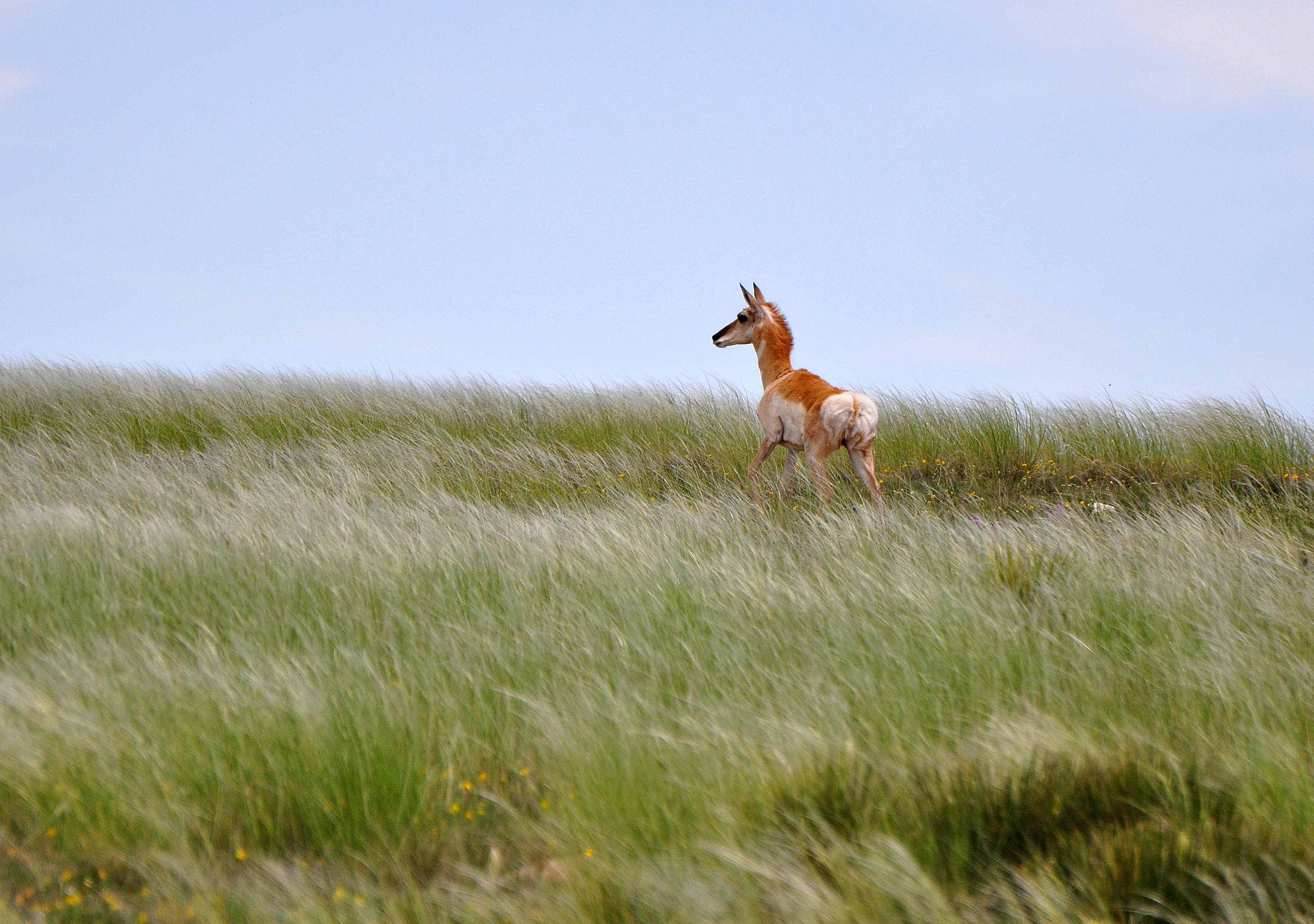
A young pronghorn standing in tall, windswept grass in a prairie setting with a light blue sky in the background.
A young pronghorn stands amidst the swaying grasses of the Kiowa National Grassland.

Kiowa National Grassland history and protected-area timeline

Kiowa National Grassland was established in 1960 as a National Grassland under U.S. Forest Service management. Like other National Grasslands created in this era, its designation reflected a federal effort to protect and organize large tracts of rangeland in the Great Plains that held significant ecological and watershed value while remaining tied to traditional agricultural uses.

The land's history, however, extends far beyond the formal establishment date. The eastern unit lies along the route of the Santa Fe Trail, the nineteenth-century trade route that connected Missouri to Santa Fe. McNees Crossing, located northeast of Clayton, was a watering point on the trail where travelers Robert McNees and Daniel Munro were killed in 1828, and where one of New Mexico's early Independence Day observances took place in 1831. Section of the Santa Fe Trail north of Clayton remain open for walking and horseback riding, with rock-post markers and visible wagon ruts still preserved in the landscape.

In the western unit, the Canadian River Canyon preserves a more local homestead history. Early twentieth-century settler Melvin Mills established an apple orchard and home on the canyon floor, the ruins of which can still be reached by descending into the canyon rim trail. The canyon's scenic and ecological qualities also led to a 2008 proposal for a wilderness area of about 6,032 acres along roughly eight miles of the Cimarron River Canyon, which would have formalized stronger protections for the area's pristine canyon landscape.

Kiowa National Grassland landscape and geographic character

The landscape of Kiowa National Grassland is shaped by the transition zone where the Great Plains meet the broken canyon country of northeastern New Mexico. Elevations range from roughly 4,500 to 6,300 feet, producing rolling plains interrupted by mesas, breaks, and deeper canyon systems. The terrain alternates between open rangeland, gentle slopes, and rugged canyon walls, creating a varied visual and ecological mosaic across an otherwise grass-dominated region.

The most striking landscape feature of the western unit is the Canadian River Canyon, also known as Mills Canyon, which cuts about 700 feet deep into the surrounding rock and is more than a mile wide from rim to rim. Roughly fifteen miles of red-rock, well-vegetated canyon fall within the National Grassland, supporting a very different microclimate and plant community from the open plains above. The rim of the canyon offers expansive views and primitive camping opportunities, while a road down to the canyon floor passes ruins of early homesteads set against the canyon's layered cliffs.

Surrounding the canyon, the landscape opens into broad steppe plains dotted with playa lakes and crossed by shallow drainage lines. Sand sagebrush flats mark areas of looser, sandy soils, while pinyon-juniper woodland extends along rougher slopes. The White-edged skyline of the Rabbit Ear Mountains and other distant peaks forms a visible backdrop across the grassland, anchoring the area within the broader terrain of the southwestern Great Plains.
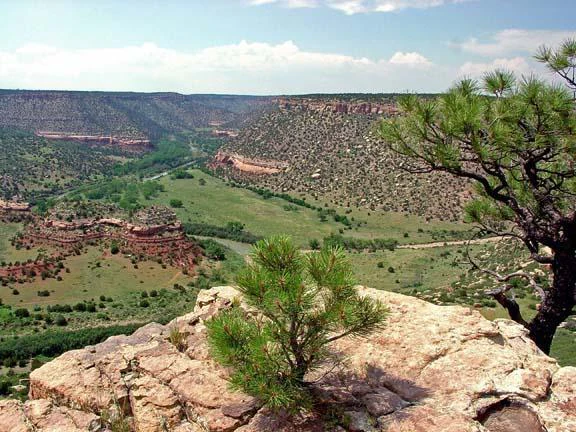
A wide-angle, eye-level photograph looking over the Canadian River Canyon featuring steep red sandstone cliffs, valley floor with greenery, and scrubby pine trees in the foreground.
A view overlooking the Canadian River Canyon within Kiowa National Grassland.

Kiowa National Grassland ecosystems, habitats, and plant life

The ecological identity of Kiowa National Grassland is semi-arid shortgrass steppe, a vegetation type that has long defined the southwestern Great Plains. Shortgrass prairie, dominated by hardy warm-season and cool-season grasses, covers the majority of the land surface across both the grassland and the adjacent Rita Blanca National Grassland. This open ground is interspersed with distinct habitat types that reflect subtle shifts in soils, slope, and moisture.

Roughly ten percent of the grassland is covered by pinyon-juniper woodland, almost all of it in the western unit where elevation and rocky terrain favor these drought-tolerant trees. Ponderosa pine occurs in limited stands within the Canadian River Canyon, where cooler and slightly moister conditions allow these larger conifers to persist. Sand sagebrush covers about nine percent of the area, especially on sandy soils, while cottonwood and willow riparian forest make up a small but ecologically important fraction of the landscape along the Canadian River and its tributaries.

Playa lakes are a characteristic feature of the plains, holding seasonal rainfall and providing habitat variability in an otherwise semiarid setting. The Canadian River itself is the only permanent stream, creating a narrow corridor of riparian habitat that supports distinct plant and animal communities. The combination of steppe, woodland, canyon forest, sage flats, playa lakes, and riparian corridors gives Kiowa National Grassland a layered ecological character unusual within the broader Great Plains.
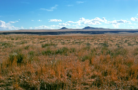
A wide, open prairie landscape featuring tall, dry grasses in the foreground, flat terrain, and low, distant hills under a blue sky with scattered clouds.
A wide view of the grassland landscape at Kiowa National Grassland in New Mexico.

Kiowa National Grassland wildlife and species highlights

Wildlife in Kiowa National Grassland reflects the species mix typical of the southwestern Great Plains, where open grasslands and limited woody cover shape the animal communities that can thrive here. Pronghorn are among the most visible and characteristic large mammals, moving across the open country in a manner reminiscent of historic plains wildlife. The grassland also supports smaller mammals typical of shortgrass prairie, including species that depend on the mixture of open steppe, sage flats, and canyon habitats.

The Canadian River Canyon adds a notable wildlife dimension, with its cliff environments and rougher terrain offering habitat for introduced Barbary Sheep, which thrive among the canyon walls. Birds associated with shortgrass prairie, sage flats, playa lake margins, and riparian corridors are also present across the grassland, drawing on the different habitat types that coexist in the area.

The Canadian River itself supports a variety of sport fish, including Largemouth Bass and Channel Catfish, making its waters an important recreational and ecological resource within an otherwise arid landscape. The interplay between open plains wildlife, canyon species, and aquatic communities gives the grassland a more complex wildlife profile than its apparently uniform shortgrass terrain might suggest.

Kiowa National Grassland conservation status and protection priorities

Kiowa National Grassland holds conservation significance as one of the larger federally protected remnants of shortgrass prairie in the southwestern Great Plains. The National Grassland designation, established in 1960, anchors a long-term federal commitment to maintaining this rangeland ecosystem, its soils, and its watersheds, while also preserving habitat for native wildlife such as pronghorn.

The grassland also plays an important role in preserving canyon habitat along the Canadian River, where fragile plant communities grow on rocky slopes and cliffs. A 2008 proposal for a roughly 6,032-acre wilderness area within about eight miles of the Cimarron River Canyon recognized the conservation value of this canyon landscape and sought to formalize stronger protections against development and motorized use, while still allowing fishing, hunting, and non-motorized recreation.

The combination of upland steppe, woodland, sage, playa lakes, riparian corridors, and canyon environments makes Kiowa a notable example of how Great Plains conservation can hold together multiple ecosystem types in one protected mosaic. Even with extensive grazing leases, the grassland continues to function as a working landscape that supports both ranching heritage and large-scale ecological values.

Kiowa National Grassland cultural meaning and human context

The cultural landscape of Kiowa National Grassland reflects centuries of human passage, settlement, and land use across the southwestern Great Plains. The most prominent historical thread is the Santa Fe Trail, which passes through the eastern unit. McNees Crossing and nearby stretches of trail preserve tangible evidence of nineteenth-century trade and travel between Missouri and New Mexico, and visible wagon ruts still mark the route today. The grassland also contains memorials and markers that interpret this corridor of western American history.

In the western unit, early-twentieth-century homesteading is represented by the ruins of Melvin Mills' apple orchard and home in the Canadian River Canyon, a reminder of the small-scale agricultural ambitions that briefly took hold in these canyon landscapes. The community of Mills itself, once tied to that homestead era, now sits nearly deserted within the grassland. Today, working ranching culture dominates land use, with nearly the entire public land area leased for cattle grazing and ranching remaining the principal economic activity of the region.

Top sights and standout views in Kiowa National Grassland

Kiowa National Grassland stands out for its combination of shortgrass prairie, canyon country, and visible western history within a single protected landscape. The Canadian River Canyon, with its red-rock walls, primitive rim camping, and canyon-floor ruins, is among the grassland's most memorable scenic features. The playa lakes, sage flats, and pinyon-juniper woodland cover offer quieter but equally distinctive Great Plains landscapes.

Equally important are the historic features of the eastern unit, including segments of the Santa Fe Trail with preserved wagon ruts and the McNees Crossing site associated with early trading-era history. The grassland's identity as a working rangeland, with grazing as the primary land use, adds another dimension to its character, showing how conservation and traditional ranching coexist across the southwestern Great Plains.

Best time to visit Kiowa National Grassland

The character of Kiowa National Grassland shifts with the seasons in ways typical of the southwestern Great Plains. Summer brings the warmest temperatures and the majority of annual rainfall, which often falls as brief afternoon thunderstorms and helps green the otherwise semiarid steppe. July and August are the wettest months, and the grassland tends to show its most active growth and wildlife presence during this period, though daytime heat can be significant.

Winter and early spring are cooler and drier, with January and February among the driest months. Cooler temperatures make hiking and exploring the Santa Fe Trail ruts, the Canadian River Canyon rim, and the open prairie more comfortable. Spring and fall transitions typically offer mild temperatures and clearer skies, and they are often well-suited to viewing pronghorn and other wildlife across the open terrain.
Monthly climate preview

Long-term temperature and precipitation patterns across representative New Mexico terrain

Kiowa National Grassland Climate Normals and Monthly Weather Records

Kiowa National Grassland exhibits recorded mean temperatures spanning from near freezing up to summer highs alongside measurable shifts in monthly precipitation. Analyzing the complete twelve-month climatology profile provides deeper insight into long-term environmental patterns across this protected grassland.
Annual mean12 °C
1 °C24 °C
Jan
Feb
Mar
Apr11°
May17°
Jun22°
Jul24°
Aug23°
Sep19°
Oct12°
Nov
Dec
Warmest month
July

23.9 °C

Coolest month
December

1 °C

Wettest month
July

2.6 mm/day

Driest month
January

0.4 mm/day

Park location guide

Geography guide, regional context, and park location map for Kiowa National Grassland

Kiowa National Grassland park geography, regions, and map view in United States of America

Understand where Kiowa National Grassland sits in United States of America through a broader geographic reading of the surrounding landscape, nearby location context, and its mapped position within the national park landscape.

How Kiowa National Grassland fits into United States of America

The United States of America is a federal presidential republic and one of the world's largest countries by area and population. It consists of 50 states across a vast territory spanning multiple time zones, with its capital in Washington, D.C. and largest city in New York City. The nation has a diverse economy, influential political system, and significant cultural and military presence globally.

Wider geography shaping Kiowa National Grassland in United States of America

The United States occupies a vast territory in North America, bordered by Canada to the north and Mexico to the south. The 48 contiguous states stretch from the Atlantic to the Pacific Ocean, while Alaska occupies the northwestern region and Hawaii is an archipelago in the Pacific. The country encompasses diverse terrain including the Rocky Mountains, Appalachian Mountains, Great Plains, and extensive river systems.

Map view of Kiowa National Grassland

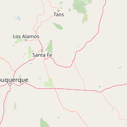
Use this park location map to pinpoint Kiowa National Grassland in United States of America, understand its exact geographic position, and read its mapped placement within the surrounding landscape more clearly.

Pigeon | © OpenStreetMap contributors

Location context for Kiowa National Grassland

New Mexico
Recorded earthquake history

Review the Historical Earthquake Record for Kiowa National Grassland

Explore the documented seismic history of the region through a structured catalogue of events associated with Kiowa National Grassland. This archive from MoriAtlas provides clear access to historical data points, epicenter distances, and event metrics for this Great Plains landscape.

Kiowa National Grassland Earthquake History

Catalogued events

8 events

Strongest magnitude

Magnitude 3.9

Most recent event

Mar 31, 2022

This history includes earthquakes recorded inside the park or within 50 km of its borders

Explore protected area scenery, canyon terrain, and semi-arid steppe habitats.

Kiowa National Grassland Photos and Landscapes: Visualizing the Shortgrass Prairie

Visual documentation captures the sweeping shortgrass prairie, deep red-rock gorges, and pinyon-juniper woodlands defining the protected rangeland. Detailed photographic records reveal the complex topography and characteristic ecosystems spanning the southwestern Great Plains.

A young pronghorn standing in tall, windswept grass in a prairie setting with a light blue sky in the background.

A vertical view of stone and wood building ruins in a desert canyon landscape under a blue sky.

A wide-angle, eye-level photograph looking over the Canadian River Canyon featuring steep red sandstone cliffs, valley floor with greenery, and scrubby pine trees in the foreground.

A wide, open prairie landscape featuring tall, dry grasses in the foreground, flat terrain, and low, distant hills under a blue sky with scattered clouds.

Park atlas

Compare adjacent Great Plains landscapes and regional conservation areas

Explore Parks Near Kiowa National Grassland and Surrounding Protected Areas

Continue browsing other parks near Kiowa National Grassland to examine related shortgrass prairie ecosystems and canyon terrain. Comparing adjacent protected areas reveals broader geographic patterns across the southwestern steppe.
A horizontal watercolor painting showing a soft, stylized view of open, rolling grassland under a hazy sky, with yucca-like plants in the foreground.
Wildlife reserveTexas
0 km away#1 closest

East

Rita Blanca National Grassland: Protected Shortgrass Prairie Geography and Map

Mapping the mosaic of federal lands in the Texas Panhandle

Rita Blanca National Grassland offers a detailed look at restored shortgrass prairie ecosystems within the southern Great Plains. The area consists of intermixed federal and private land parcels that define the regional geography of the Texas and Oklahoma borderlands. This protected landscape provides habitat for pronghorn, prairie dogs, and raptors across a semi-arid, gently sloping terrain.

Area
376.31 km²
Established
1960
Relief
Upland
Climate
Arid
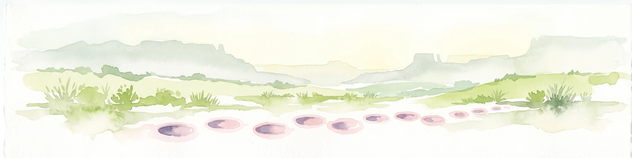
A wide watercolor painting showing a green grassy plain with distant hills and a row of purple circular shapes in the foreground.
Protected areaColorado
36 km away#2 closest

North

Comanche National Grassland: Geographic Atlas of Southeastern Colorado Protected Plains

Exploring canyon systems and prairie landscape boundaries

Spanning across Baca, Otero, and Las Animas counties, Comanche National Grassland represents a distinctive protected landscape of shortgrass prairie and deep canyon networks. The region is marked by the dramatic Purgatoire River and Carrizo Creek systems, offering a rich study in semi-arid topography, riparian corridors, and fossil-rich geological formations within the Colorado plains.

Area
1,793.09 km²
Established
1960
Relief
Upland
Climate
Temperate
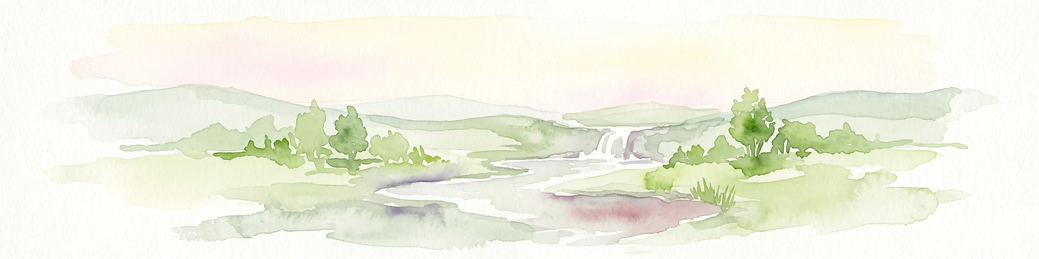
Watercolor painting of a gentle, rolling landscape with a small stream, a small waterfall, and scattered trees under a soft, light sky.
Protected landscapeNew Mexico
87 km away#3 closest

West

Santa Fe National Forest: Geographic Atlas and Protected Landscape Overview

New Mexico mountain geography and wilderness mapping

Santa Fe National Forest spans more than 1.5 million acres of Northern New Mexico, featuring a dramatic transition from canyon river systems to the high elevations of the Pecos Wilderness. This protected landscape contains a complex network of forest districts across the Jemez and Sangre de Cristo Mountains, defined by volcanic plateaus, alpine basins, and seasonal aspen forests. Use this resource to understand the park boundaries, regional mountain geography, and the interconnected nature of these protected lands.

Area
6,306.83 km²
Established
1915
Relief
Mountain
Access
Easy access
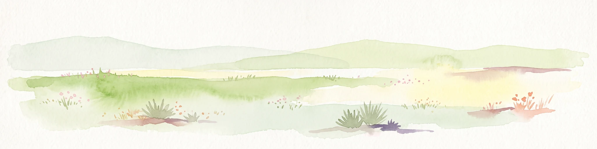
A pale, soft watercolor illustration of a wide, open prairie with gentle rolling hills in the background, low shrubs, and grasses in the foreground.
Protected areaKansas
94 km away#4 closest

Northeast

Cimarron National Grassland: Mapping the Largest Protected Area in Kansas

Shortgrass prairie geography and historical riparian landscapes

Spanning over 100,000 acres in southwestern Kansas, Cimarron National Grassland serves as a major ecological refuge within the Great Plains. The protected area features a unique terrain characterized by sand sagebrush uplands, cottonwood-forested bottomlands, and the winding course of the Cimarron River. This mapping data highlights the intersection of modern wildlife conservation and the remnants of the historic Santa Fe Trail.

Area
437.77 km²
Established
1960
Relief
Upland
Climate
Arid
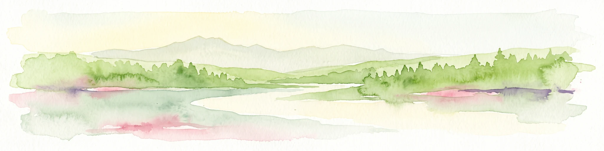
Watercolor painting of a green forest, calm water, and distant mountain silhouettes against a light sky.
Wildlife reserveNew Mexico
115 km away#5 closest

Northwest

Latir Peak Wilderness: Mapped Geography of the Sangre de Cristo Mountains

High-elevation wilderness reserves in northern New Mexico

Latir Peak Wilderness presents a distinct vertical landscape within the northern Sangre de Cristo Mountains. This protected area features a unique combination of high-altitude summits, rounded alpine mesas, and cold-water trout habitats. Mapped terrain includes the significant Lake Fork of Cabresto Creek drainage and dense conifer forests that define this 20,506-acre wilderness unit.

Area
82.98 km²
Established
1980
IUCN
Ib
Relief
Mountain
Watercolor painting of a serene mountain landscape featuring rolling hills, coniferous trees, and a lake in the foreground, rendered in light pastel tones.
Protected landscapeColorado
128 km away#6 closest

North

San Isabel National Forest: Geographic Overview and Protected Mountain Landscape Atlas

Central Colorado alpine terrain and designated wilderness areas

Spanning eleven counties in central Colorado, San Isabel National Forest serves as a cornerstone of the Southern Rocky Mountains. The forest landscape is dominated by the Sawatch and Sangre de Cristo ranges, offering a unique atlas of alpine tundra, dense coniferous forests, and high-altitude peaks that define the character of the region. This protected area provides a vital habitat and a vast, rugged environment characterized by volcanic formations like the Spanish Peaks and glacial geological features.

Area
4,533.42 km²
Established
1902
Relief
Mountain
Climate
Alpine
A watercolor illustration of a landscape with a central lake reflecting soft pink hues, surrounded by green rolling hills and pine forests under a hazy sky.
Protected areaTexas
133 km away#7 closest

East

Lake Meredith National Recreation Area: An Atlas Guide to Texas Panhandle Canyon Landscapes

Geography of the Canadian River reservoir and High Plains terrain

Analyze the topography of Lake Meredith National Recreation Area, where the Canadian River has sculpted deep canyons through the flat Texas High Plains. The site serves as a vital protected area for both water-based recreation and the preservation of arid, canyon-rim habitats near the Alibates Flint Quarries.

Area
182.02 km²
Established
1990
Visitors
1.3M annual
Relief
Upland
A pale, minimalist watercolor painting showing a horizontal landscape with a thin treeline in the midground and soft, blue-toned mountain peaks in the background against a white sky.
Wildlife reserveSandoval County
179 km away#8 closest

West

Dome Wilderness: Volcanic Domes and Protected Forest Geography in Sandoval County

High-desert wilderness area in the Jemez Mountains

Dome Wilderness is a protected natural area in Sandoval County, New Mexico, defined by its exposed volcanic domes and dramatic post-fire recovery landscape. Sitting within the Santa Fe National Forest, the terrain preserves both natural geological features and significant prehistoric archaeological sites. Its unique visual character, shaped by the 1996 Dome Fire, contrasts open, fire-swept slopes with dense coniferous forest stands.

Area
21 km²
Established
1980
IUCN
Ib
Relief
Mountain

Common questions about visiting, size, designation, and location context for Kiowa National Grassland

Kiowa National Grassland FAQs for park facts, access, geography, and protected area context

Find quick answers about Kiowa National Grassland, including protected-area facts, park geography, trail and visitor context, and how the park fits into its surrounding country and regional landscape.
MoriAtlas Explorer

Continue Your Protected Areas Search Across the Global Atlas

Deepen your exploration by continuing the structured search for national parks and protected areas worldwide. Utilize the comprehensive filtering capabilities to compare different conservation landscapes and refine your understanding of global park geography. Discover more about the distribution and characteristics of protected natural areas.

Global natural geography