
A comprehensive index of terrain types, water bodies, and scenic outcrops defining the region
Named Natural Features and Geological Landmarks of Koli National Park in Eastern Finland
This geographic collection documents the diverse natural features found within and surrounding Koli National Park. From the iconic forested hills and dramatic Lake Pielinen shoreline to distinct rocky summits and inland aquatic habitats, each feature offers insight into the complex topography of this eastern Finnish protected area. Browse this index to understand how geological formations and traditional cultural landscapes interweave within the wider Koli terrain.
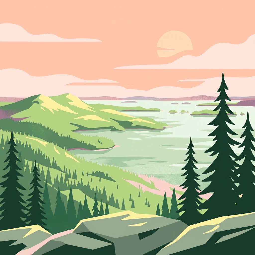
Read Koli National Park through hills, valleys, cliffs, forest, and lakes
Highland hill, cliff, forest, lake, and cave records in Koli National Park
Mapped geological openings in North Karelia
Cave entrances
A curated inventory of cave entrance locations distributed across the varied terrain of Koli National Park. Examine the precise geographic placement of these surface voids in relation to the surrounding forested hills, cliff faces, and the shoreline of Lake Pielinen for deeper landscape analysis.
Hydrological landscapes and regional water basin distribution.
Lakes
Discover the network of lake entities associated with Koli National Park. This focus provides geographic insight into the water bodies situated within the park, including their relationship to the rugged topography and the extensive western shore of Lake Pielinen.
Named summits and terrain features across the park.
Peaks
This geographic collection documents the named peaks and summits distributed throughout Koli National Park. Examine the relationship between individual high points and the surrounding hilly landscape, providing essential context for the park's rugged topography in eastern Finland.
Continue Atlas Exploration of Koli National Park's Geographic Identity
Deepen your understanding of Koli National Park by exploring its mapped boundaries and regional geography. This structured approach to protected landscapes allows for precise geographic discovery, situating Koli National Park within the wider atlas of natural terrain in North Karelia and beyond.