
Mori Atlas logo
Nature reserveKrüdersheide und Götsche

Mapped moor forest and bog woodland corridors within the Bergische Heideterrasse landscape

Krüdersheide und Götsche Nature Reserve and Protected Landscape in Nordrhein-Westfalen

(Naturschutzgebiet Krüdersheide und Götsche)

Krüdersheide und Götsche stands as a vital nature reserve in Nordrhein-Westfalen, Germany, encompassing 55 hectares of rare bog woodland and peat moss habitats. This protected area forms an ecologically connected network with neighboring heaths, preserving a mosaic of stream-fed wetlands and acid-soil forests that remain significant for local conservation. The terrain reflects the unique sandy characteristics of the Bergische Heideterrasse, offering insight into the surviving moisture-dependent ecosystems.

moor forestbog woodlandpeatlandwetland reserveBergische Heideterrassehabitat management area
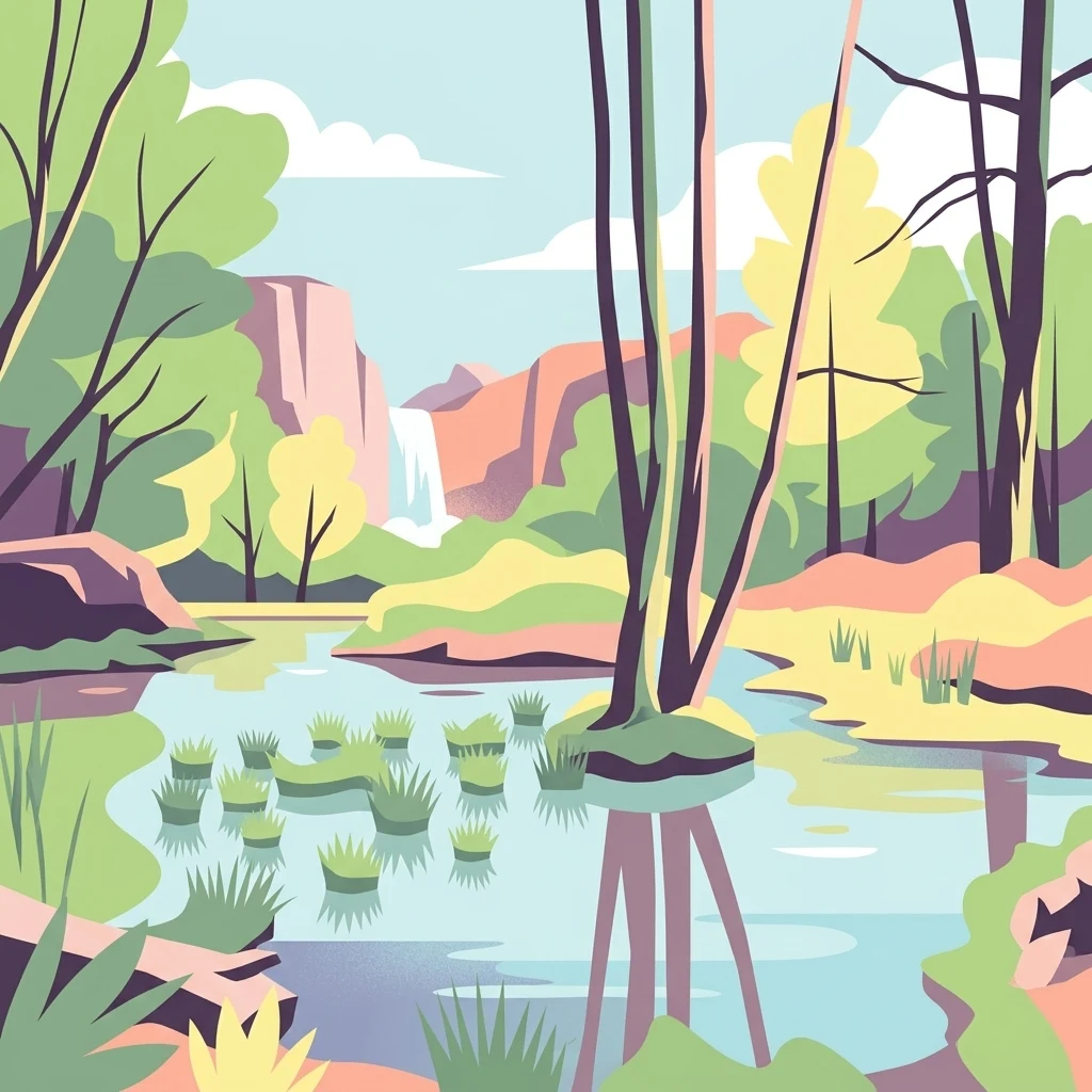
A flat-style digital illustration showing a swampy landscape with green grasses growing from shallow water, surrounded by trees and cliffs, featuring a small waterfall in the background.

Krüdersheide und Götsche

Nature reserve

Park overview

Structured park overview, official facts, and landscape profile for Krüdersheide und Götsche

Krüdersheide und Götsche park facts, protected area profile, and essential visitor context

Review the core facts for Krüdersheide und Götsche, including designation, size, terrain, visitor scale, habitats, and operating context in one park-focused overview.

About Krüdersheide und Götsche

Krüdersheide und Götsche is a compact nature reserve that reflects the ecological character of the Bergische Heideterrasse, a sandy terrace in the Bergisches Land region of North Rhine-Westphalia. Its terrain lies at modest elevations between roughly 60 and 80 meters above sea level, yet within this small altitudinal range the reserve supports a strikingly diverse mosaic of wetland, bog, and moist forest habitats.

The reserve's defining ecological feature is its near-natural moor forest complex, which includes both raised bog and bog woodland (Bruchwald) elements. Extensive Sphagnum moss cushions, sweet gale shrubs, stillwater bodies, and reed zones give the area its particular wetland character. Small natural flowing waters such as the Kniebach, with submerged vegetation, add further aquatic diversity to the habitat mosaic.

Administratively, the area falls within the independent city of Solingen, in the western district of Ohligs/Aufderhöhe near the border with Hilden and Langenfeld in the Mettmann district. The A3 motorway cuts through the western side of the reserve, dividing it into two accessible sections, while state road L 288 runs along its eastern edge near Schloss Hackhausen. Despite its location within a heavily urbanized region, the reserve has retained an ecologically valuable core of bog and forest habitat.

The protected area was formally designated in 2005 under the identifier SG-010 and is governed by the landscape plan of Solingen. It is managed as a Habitat/Species Management Area under IUCN Category IV. Conservation objectives focus on preserving and developing the moor and bog forest, protecting near-natural streams, and linking the reserve ecologically with the larger Ohligser Heide to the north.

Quick facts and research context for Krüdersheide und Götsche

Krüdersheide und Götsche is a nature reserve in Solingen, North Rhine-Westphalia, in western Germany. It covers approximately 54.74 hectares and is identified administratively as SG-010. The site lies on the Bergische Heideterrasse, a sandy terrace landscape that supports acidic bog and heath habitats.

The reserve was formally designated in 2005 and is managed under the Solingen landscape plan by the lower landscape authority of the city of Solingen. It is classified under IUCN Category IV as a Habitat/Species Management Area. Elevations within the reserve range from about 60 to 80 meters above sea level.

Protection and recognition

Examine documented terrestrial boundaries and official designation data.

Krüdersheide und Götsche Protection Status and Conservation Records

Krüdersheide und Götsche maintains a terrestrial protection scope governed by structured regional datasets and official inventories. Systematic conservation records outline the established designation framework without supplementary international recognition programs.

Protection details

Protection scope
Terrestrial
Transboundary protection
No
WDPA ID
378227
Park context

Deeper park guide and search-rich context for Krüdersheide und Götsche

Krüdersheide und Götsche history, landscape, wildlife, and travel context

Explore Krüdersheide und Götsche through its history, landscape character, ecosystems, wildlife, conservation priorities, cultural context, and seasonal travel timing in a structured park guide built for atlas discovery and search intent.

Why Krüdersheide und Götsche stands out

Krüdersheide und Götsche is best known for its near-natural moor forest complex, which includes bog woodland, peat moss cushions, and small stream habitats. The reserve preserves a rare and threatened mosaic of wetland, bog, and moist woodland vegetation that is increasingly uncommon in the densely populated Bergisches Land. The site is also notable for its ecological connection with the neighboring Ohligser Heide reserve, forming part of a larger network of protected heath and bog habitats on the Bergische Heideterrasse. Among its recognized species are the royal fern, marsh hog's fennel, water pennywort, goshawk, long-eared owl, and various bat and woodpecker species.
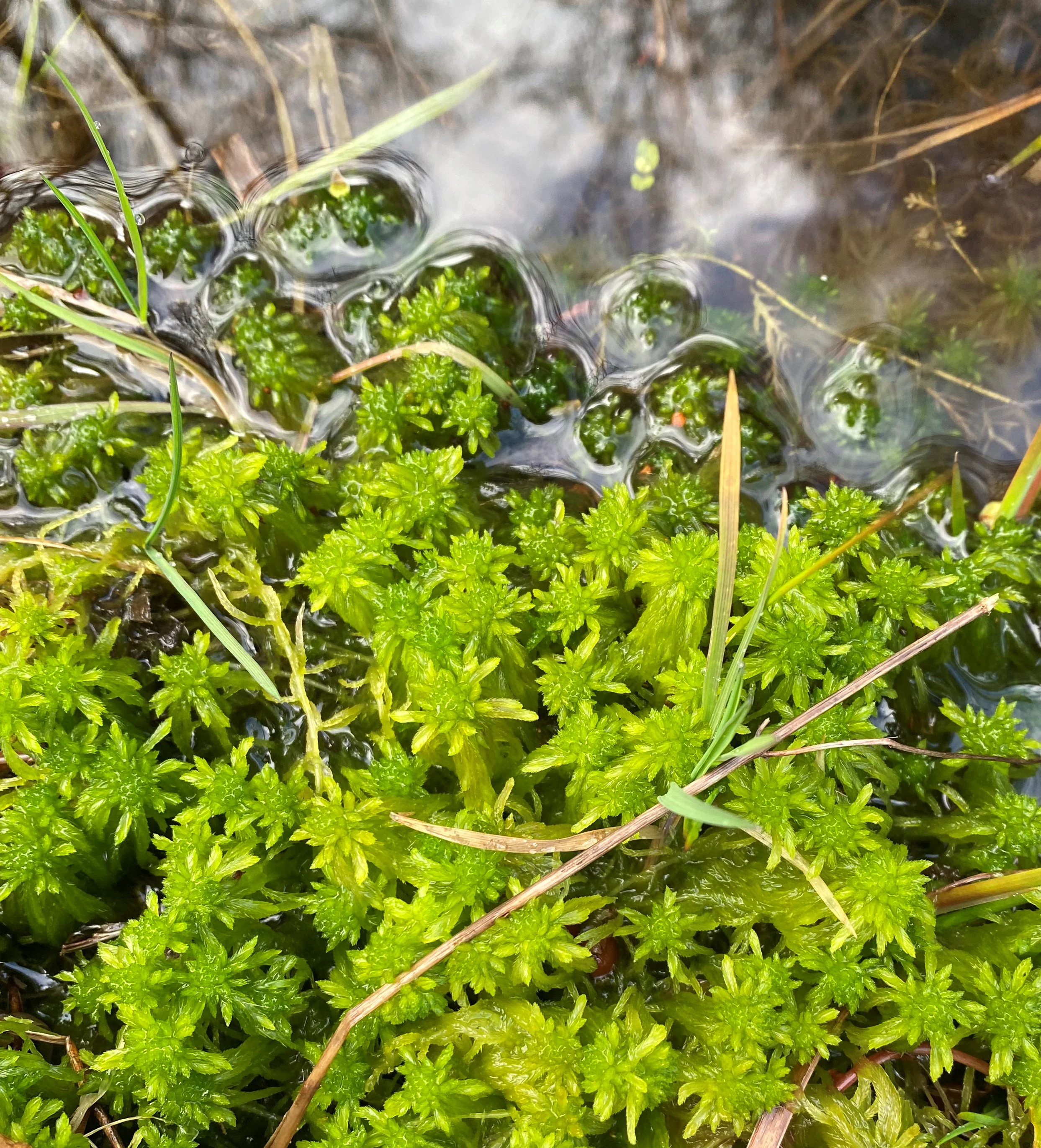
A close-up, top-down view of vibrant green sphagnum moss growing in and beside shallow, clear water.
Bright green sphagnum moss growing along the edge of a water feature, characteristic of the boggy terrain in Krüdersheide und Götsche.

Krüdersheide und Götsche history and protected-area timeline

The area that today forms the Krüdersheide und Götsche nature reserve was historically part of the Bergische Heideterrasse, a sandy terrace landscape shaped by post-glacial geological processes and centuries of varied land use. Its bog and moor woodland character developed over long periods under acidic, nutrient-poor soil conditions.

In the modern era, the site gained formal protection in 2005, when it was designated as a Naturschutzgebiet under the identifier SG-010. The designation was anchored in the Solingen landscape plan and placed the reserve under the oversight of the city's lower landscape authority (Untere Landschaftsbehörde).

Since its designation, the reserve has been managed with the goal of preserving its rare moor forest and stream habitats, while also strengthening ecological connectivity with the adjacent Ohligser Heide nature reserve to the north.

Krüdersheide und Götsche landscape and geographic character

The reserve sits on the Bergische Heideterrasse, a sandy terrace landscape that gives the surrounding region its characteristic heath and bog potential. Elevations within the protected area range from about 60 meters in the lower sections to around 80 meters in the highest parts, producing only gentle topographic variation but distinct microhabitat differences.

Water features shape the landscape meaningfully. The Viehbach stream flows along the southern edge, while smaller streams such as the Kniebach and the Götscher Bach run through the interior. Stillwater bodies, reed zones, and peat moss cushions add to the wetland feel of the terrain. Wet bog woodland transitions into drier sandy woodland and heath elements on slightly elevated ground.

The reserve is bordered by several notable landscape features. To the north lies the Ohligser Heide nature reserve and the park around the Engelsberger Hof. To the east runs the L 288 state road, near Schloss Hackhausen. The A3 motorway passes along the western side and effectively divides the western portion of the reserve from its main body.
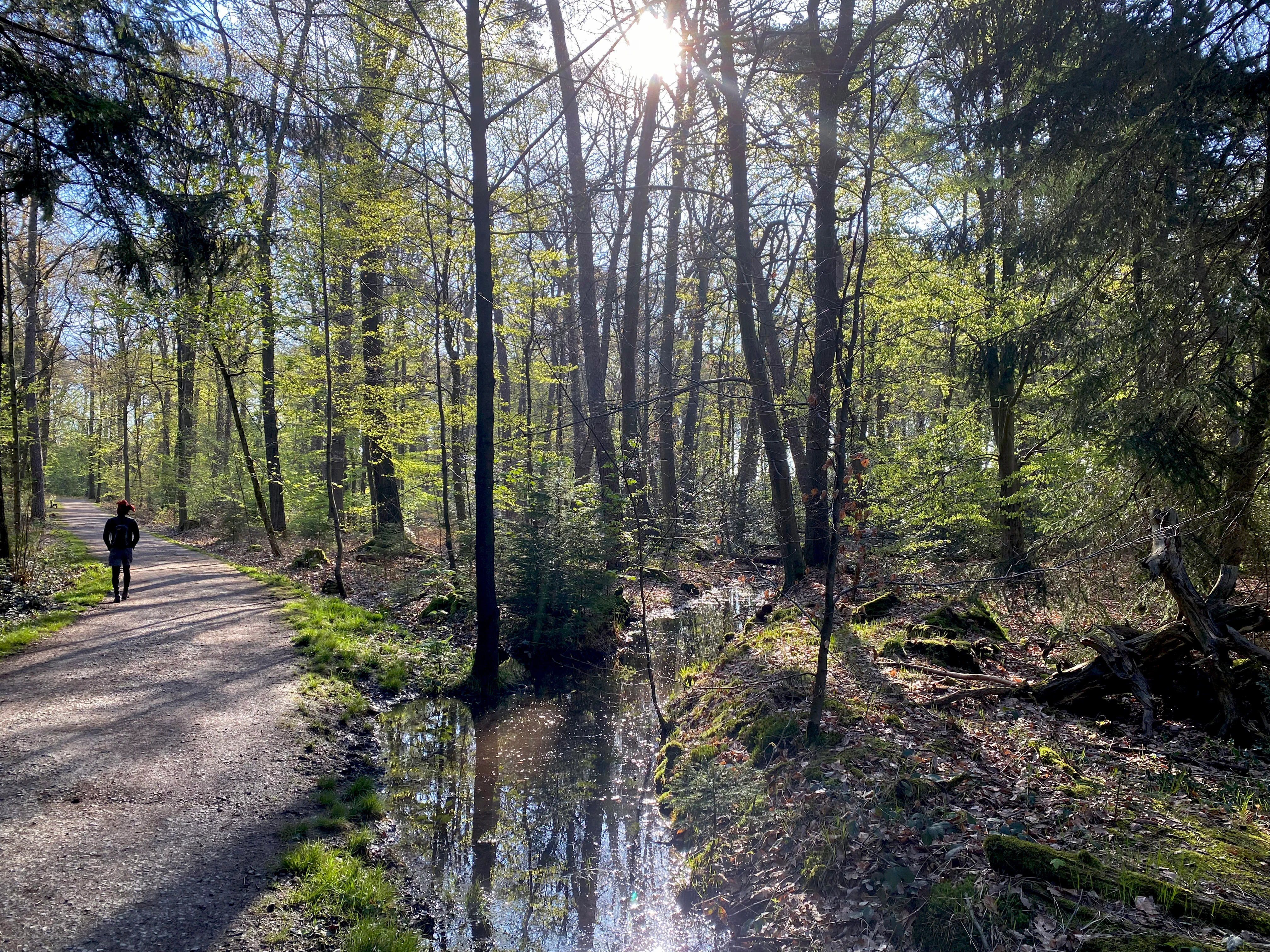
A dirt hiking trail runs along a small forest stream in a woodland area with sun shining through the trees.
A person walks along a trail adjacent to the Gotscher Bach stream within the Krüdersheide und Götsche nature reserve.

Krüdersheide und Götsche ecosystems, habitats, and plant life

The ecological identity of Krüdersheide und Götsche is centered on a near-natural moor forest complex that combines bog woodland, raised bog vegetation, and moist forest communities. Sphagnum moss cushions and sweet gale (Gagel) shrub layers give the bog zones their characteristic structure, while stillwater bodies and reed margins provide additional transitional habitats.

A key element of the reserve's ecology is its near-natural flowing waters, especially the Kniebach, which carries underwater vegetation and contributes to the moisture balance of the surrounding woodland. These streams are integral to maintaining the bog forest conditions that depend on consistent water supply and stable hydrology.

The broader vegetation mosaic also includes dry sandy heath and woodland edges that transition into the surrounding Bergische Heideterrasse landscape. The combination of wet bog forest, open water, reed zones, and drier sandy woodland edges makes the reserve unusually habitat-diverse for its compact size, and gives it particular value for moisture-dependent and habitat-specialist species.
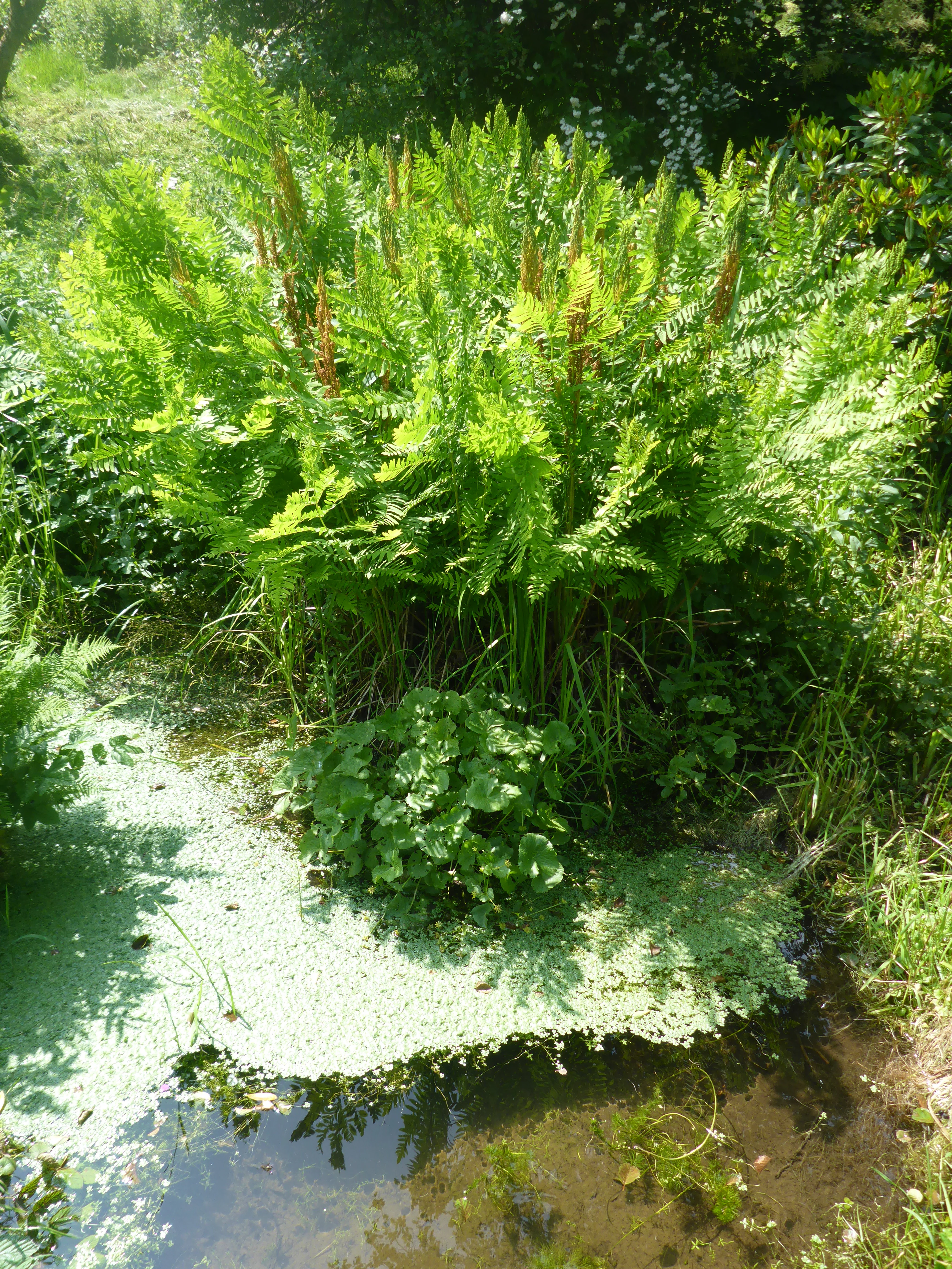
A bright green royal fern with tall, upright fronds growing near a small, still body of water covered in green duckweed.
A cluster of royal fern (Osmunda regalis) growing at the edge of a wetland area.

Krüdersheide und Götsche wildlife and species highlights

The reserve supports a range of rare and threatened animal species associated with its bog forest and woodland habitats. The northern goshawk (Accipiter gentilis) is among the notable breeding raptors recorded in the area, taking advantage of the mature woodland structure. The long-eared owl (Asio otus) is also documented, along with several woodpecker species that depend on older trees and decaying wood for nesting.

Bats are another important component of the reserve's fauna, with species such as the common noctule (Nyctalus noctula) recorded in the area. These bats benefit from the combination of woodland cover, water features, and insect-rich wetland habitats.

While the reserve is small, its dense cover, water features, and bog woodland contribute to a rich insect and invertebrate community that supports this broader vertebrate fauna. The recognition of goshawk, long-eared owl, multiple woodpeckers, and several bat species in the official landscape plan underscores the reserve's function as a refuge for species that depend on structurally rich, near-natural woodland.
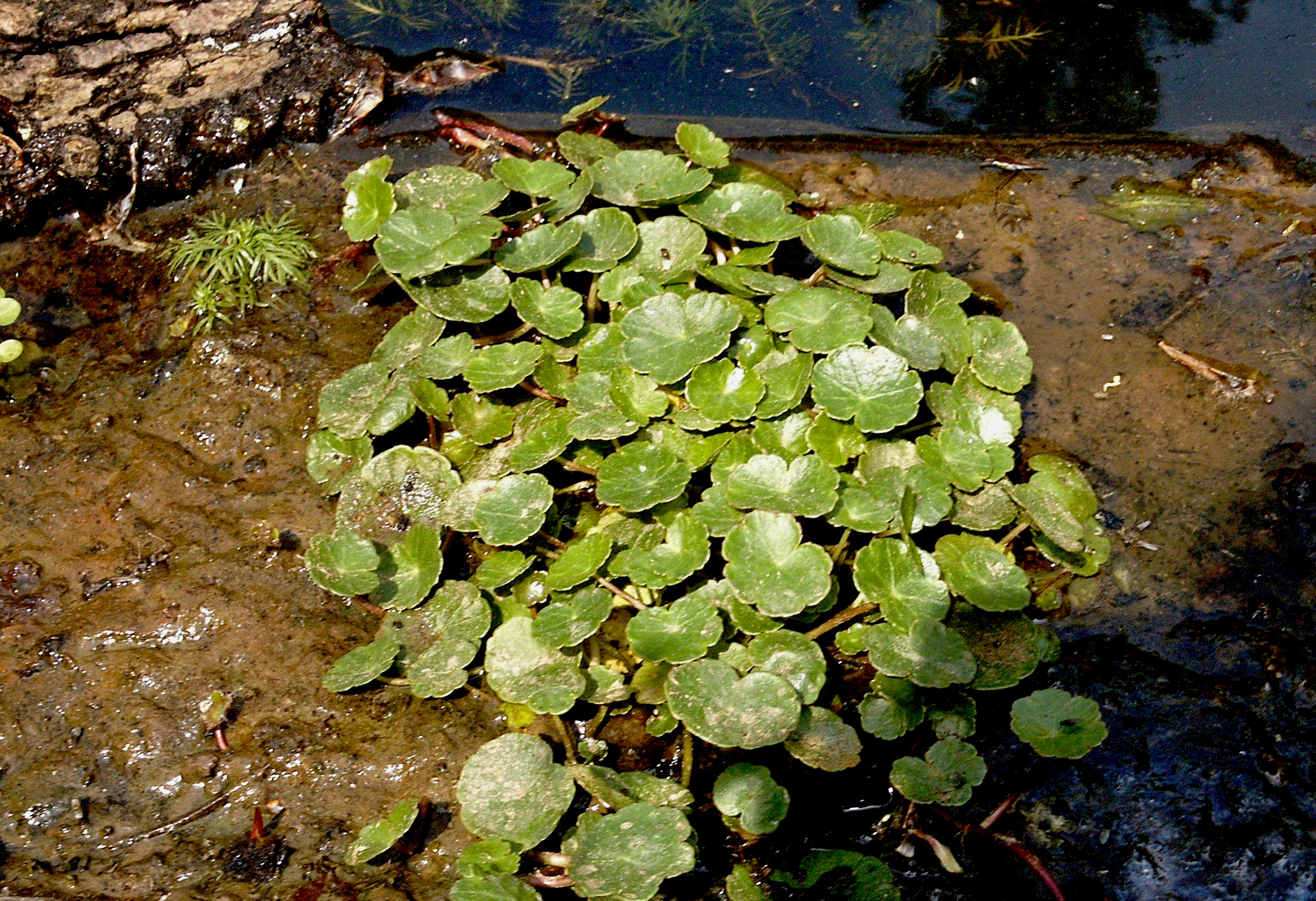
Close-up view of a clump of green, shield-shaped marsh pennywort leaves growing in a wet, muddy wetland habitat.
Marsh pennywort (Hydrocotyle vulgaris) growing in the boggy environment of Krüdersheide und Götsche.

Krüdersheide und Götsche conservation status and protection priorities

Conservation significance in Krüdersheide und Götsche centers on the protection of a near-natural moor forest complex, a habitat type that is rare and threatened across the Bergisches Land and in North Rhine-Westphalia more broadly. The reserve safeguards a functioning bog woodland system with peat moss cushions, sweet gale shrubs, stillwater bodies, reed zones, and natural streams.

The reserve is also valued for its ecological connectivity. At its northern point, it directly touches the larger Ohligser Heide nature reserve, and one of the stated conservation goals is to maintain and strengthen this linkage. Together, the two reserves form an important network of protected heath and bog habitats on the Bergische Heideterrasse.

Under the Solingen landscape plan, the reserve is managed with several clear objectives: preservation and promotion of the natural moor forest complex, protection of near-natural flowing waters such as the Kniebach, conservation and development of bog and brook woodland vegetation, and ecological networking with the Ohligser Heide. Its IUCN Category IV designation reflects a focus on active habitat and species management rather than strict wilderness preservation.

Krüdersheide und Götsche cultural meaning and human context

The landscape around the reserve carries traces of long-standing human use and settlement in the Bergisches Land. To the east of the protected area lies Schloss Hackhausen and the Waldhof Hackhausen, while the Engelsberger Hof marks the park and farm complex at its northern edge. Nearby historical sites include Schwanenmühle, the Motte Schwanenmühle, and the Wasserburg Haus Graven, all of which reflect the region's medieval and early modern rural heritage.

The reserve itself is named after two local settlement or location names, Krüdersheide and Götsche, both of which reflect traditional descriptions of the surrounding landscape. The presence of the Engelsberger Hof, Schloss Hackhausen, and several historic mills and moated castles near the reserve illustrates how the bog and forest landscape of the Bergische Heideterrasse has historically been interwoven with agricultural estates and small rural communities.

Top sights and standout views in Krüdersheide und Götsche

Krüdersheide und Götsche preserves a rare near-natural moor forest complex with bog woodland, Sphagnum cushions, and sweet gale shrub layers within a heavily urbanized region. Two small near-natural streams, including the Kniebach, contribute to the reserve's rich wetland character and support a distinctive aquatic and semi-aquatic flora.

The reserve is also notable for forming an ecological link with the larger Ohligser Heide nature reserve just to its north, together creating a connected network of protected heath and bog habitats on the Bergische Heideterrasse. Its official recognition of species such as the royal fern, goshawk, long-eared owl, and common noctule bat underscores the area's importance for moisture-dependent and woodland-dependent wildlife.

Best time to visit Krüdersheide und Götsche

The reserve can be explored year-round through its network of marked hiking trails, including the circular route A3 starting from the Engelsberger Hof and longer-distance paths such as the Neanderlandsteig, the Klingenpfad, and the Neandertalweg. Spring and early summer are particularly rewarding for observing the bog forest vegetation, including Sphagnum mosses, sweet gale, and herbaceous wetland plants.

Late spring and early summer are also favorable for woodland bird activity and bat emergence around dusk, while autumn brings a more atmospheric character to the bog woodland as leaf cover changes. Winters tend to be mild at these low elevations and allow quiet exploration of the bog forest, though waterlogged paths may require suitable footwear.

Monthly climate preview

Long-term representative measurements for temperature and precipitation patterns across twelve recorded months

Krüdersheide und Götsche Climate Normals and Annual Weather Rhythm

Representative coordinate records show measured monthly temperature variations spanning from sub-zero winter minimums to warm summer maximums alongside consistent daily precipitation rates. Examining the complete twelve-month climatology profile provides deeper analytical context for long-term environmental patterns at this location.
Annual mean10 °C
1 °C19 °C
Jan
Feb
Mar
Apr
May13°
Jun17°
Jul19°
Aug19°
Sep15°
Oct10°
Nov
Dec
Warmest month
July

19.2 °C

Coolest month
January

1.3 °C

Wettest month
December

2.6 mm/day

Driest month
April

1.6 mm/day

Park location guide

Geography guide, regional context, and park location map for Krüdersheide und Götsche

Krüdersheide und Götsche park geography, regions, and map view in Germany

Understand where Krüdersheide und Götsche sits in Germany through a broader geographic reading of the surrounding landscape, nearby location context, and its mapped position within the national park landscape.

How Krüdersheide und Götsche fits into Germany

Germany is a federal republic in Western and Central Europe with a population of over 83 million across sixteen constituent states. It is Europe's largest economy by nominal GDP and a major global exporter and importer. The capital is Berlin, and the country borders Denmark, Poland, Czech Republic, Austria, Switzerland, France, Luxembourg, Belgium, and the Netherlands.

Wider geography shaping Krüdersheide und Götsche in Germany

Germany is located in Western and Central Europe, spanning 357,022 km². It borders Denmark to the north, Poland and the Czech Republic to the east, Austria and Switzerland to the south, and France, Luxembourg, Belgium, and the Netherlands to the west. The country has coastlines on the Baltic Sea and North Sea to the north, with the Alps located in the southern region.

Map view of Krüdersheide und Götsche

Use this park location map to pinpoint Krüdersheide und Götsche in Germany, understand its exact geographic position, and read its mapped placement within the surrounding landscape more clearly.

Pigeon | © OpenStreetMap contributors

Location context for Krüdersheide und Götsche

Nordrhein-Westfalen

Visualizing moor forest habitats and wetland terrain across the reserve

Krüdersheide und Götsche Photos and Protected Landscape Scenery

Visual records capture the rare moor forest mosaic, bog woodland zones, and stream environments protected within the reserve. Examining these landscape photographs provides deeper insight into the fragile wetland character preserved across the Bergische Heideterrasse.

A close-up, top-down view of vibrant green sphagnum moss growing in and beside shallow, clear water.

A small woodland pond or swampy area in a forest with grassy tussocks growing out of the water and reflections of trees on the surface.

A dirt hiking trail runs along a small forest stream in a woodland area with sun shining through the trees.

A bright green royal fern with tall, upright fronds growing near a small, still body of water covered in green duckweed.

Close-up view of a clump of green, shield-shaped marsh pennywort leaves growing in a wet, muddy wetland habitat.

Park atlas

Compare adjacent wetland reserves and connected regional landscapes

Parks Near Krüdersheide und Götsche and Surrounding Protected Areas

Browse other parks near Krüdersheide und Götsche to examine similar moor forest ecosystems and regional protected areas. Expanding the geographic comparison reveals broader ecological corridors across the Bergische Heideterrasse landscape.
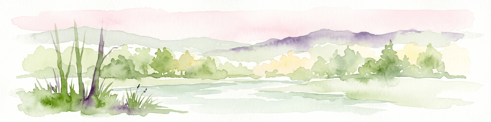
Watercolor illustration showing a wide landscape with rolling hills in soft pink and purple tones, a line of green conifer and deciduous trees, and a grassy foreground with a winding path or stream
Nature reserveNordrhein-Westfalen
About 2.7 km away#1 closest

North

Hildener Heide, Schönholz Nature Reserve: Geography and Protected Area Context

A preserved mosaic of inland heath and bog forest habitats.

Hildener Heide, Schönholz provides a critical window into the rare wetland ecosystems of the Bergische Heideterrasse. This nature reserve in North Rhine-Westphalia retains a distinct mosaic of peat-moss-dominated bog woodland, wet heath, and alder-ash floodplain forest, offering a high density of threatened habitats within a protected geographic framework.

Area
0.36 km²
Established
1938
IUCN
IV
Relief
Lowland
A soft watercolor painting of a small grove of trees standing near a body of water, featuring pale green and yellow tones.
Nature reserveNordrhein-Westfalen
About 2.9 km away#2 closest

North

Naturschutzgebiet Hildener Heide, südlich Sandberg: Protected Area and Landscape Atlas

Bog woodland and wet heathland geography in North Rhine-Westphalia.

Examine the topography and habitat mosaic of Naturschutzgebiet Hildener Heide, südlich Sandberg. This nature reserve serves as an important ecological anchor on the Bergische Heideterrasse, preserving rare wetland, alder bog forest, and heath vegetation within a compact and structurally diverse geographic footprint.

Area
0.08 km²
Established
1938
IUCN
IV
Relief
Lowland
A soft watercolor illustration of a calm stream winding through a wetland or bog area, with gentle hills in the background and a split tree trunk in the foreground.
Nature reserveNordrhein-Westfalen
About 3.5 km away#3 closest

Northwest

Hildener Stadtwald, Bereich Biesenbach: Protected Wetland and Heathland Geography

Nature reserve complex in the Mettmann district of Nordrhein-Westfalen

This compact nature reserve preserves a critical network of bog woodland and stream-fed alder swamp within the sand-dominated terrain of the Bergische Heideterrasse. The area demonstrates a clear transition between elevated dry forest margins and permanently wet peat moss communities, anchoring a wider regional system of protected heathland habitats.

Area
0.09 km²
Established
1938
IUCN
IV
Relief
Lowland
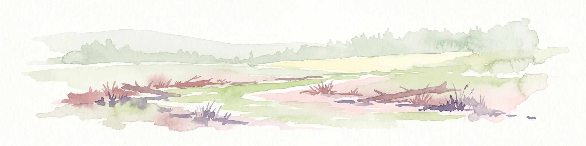
A horizontal watercolor illustration showing a landscape with sparse trees, grasses, and soft pastel colors representing a heathland habitat.
Nature reserveNordrhein-Westfalen
About 3.6 km away#4 closest

North

Hildener Heide, östlich Taubenberg: Protected Nature Reserve and Heathland Atlas

Mapping the ecological landscape in Nordrhein-Westfalen

Hildener Heide, östlich Taubenberg is a distinct nature reserve in the Mettmann district, notable for its intact wet heath and bog asphodel populations. This protected area contributes to a wider forest and heath network across the Bergische Heideterrasse, showcasing how active conservation management shapes unique lowland terrain.

Area
2 km²
Established
1993
IUCN
IV
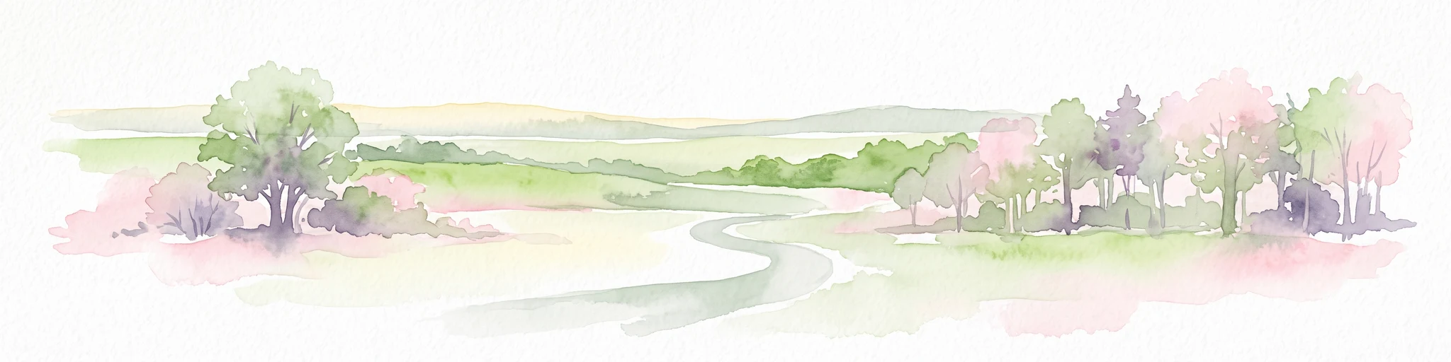
Watercolor painting of a meandering stream flowing through a green meadow, with trees in the background.
Nature reserveNordrhein-Westfalen
About 4.4 km away#5 closest

North

Hildener Stadtwald, Bereich Sandbach-Krebsbach Protected Nature Reserve and Wetland Geography

A mapped overview of the Bergische Heideterrasse riparian corridor.

Hildener Stadtwald, Bereich Sandbach-Krebsbach stands as an important nature reserve within the urbanised landscape of North Rhine-Westphalia. The area is characterized by its hydrologically dynamic sandy brooks, old-growth alder stands, and distinct microhabitats ranging from wet heath to dry oak-birch forests. This protected entity offers a clear look at the structural complexity of lowland mire ecosystems within a broader regional forest context.

Area
0.27 km²
Established
1938
IUCN
IV
Relief
Lowland
A horizontal watercolor painting of a calm stream flowing through a grassy valley with distant hills and scattered trees under a soft, pink-tinted sky.
Nature reserveKreis Mettmann
About 5.2 km away#6 closest

North

Hühnerbachtal Nature Reserve: Geography and Protected Landscape in Kreis Mettmann

Mapped stream valley ecosystems and local habitat connectivity.

Hühnerbachtal protects a unique valley mosaic in Germany, characterized by floodplain forests and steep wooded slopes. The reserve maintains a critical biotope network near Haan, offering a deep look into the regional geography and protected terrain of the Mettmann district.

Area
0.244 km²
Established
1997
IUCN
IV
A watercolor painting showing a soft landscape scene with a winding stream, low-lying vegetation, and distant hills in pale green and earth tones.
Nature reserveNorth Rhine-Westphalia
About 5.9 km away#7 closest

North

Mahnerter Bachtal: Mapping the Protected Stream Valley Habitats of North Rhine-Westphalia

A vital riparian landscape and lowland nature reserve

Mahnerter Bachtal preserves a significant lowland stream valley in Erkrath, featuring alder swamps, wet meadows, and ancient oak forests. This 28-hectare nature reserve functions as a crucial east-west ecological corridor, offering a rare glimpse of undisturbed valley geography within the sprawling industrial landscape of the German Rhine-Ruhr metropolitan area.

Area
0.28 km²
Established
1997
IUCN
IV
Watercolor painting of a pastoral landscape featuring a winding river, green fields, and clusters of trees, rendered in a soft, impressionistic style on a white background.
Nature reserveNordrhein-Westfalen
About 7 km away#8 closest

South

Southerberg Nature Reserve: Protected Woodland and Wetland Mosaic in Nordrhein-Westfalen

A rare habitat bridge on the Bergische Sand terrace.

Southerberg serves as a crucial nature reserve in Leverkusen, Nordrhein-Westfalen, balancing wet birch-oak forests with reedbeds and meadows. This compact protected area functions as a key ecological connector between larger regional habitats, showcasing a refined topographic transition from valley basin to sandy slope.

Area
0.149 km²
Established
1987
IUCN
IV
Relief
Lowland

Common questions about visiting, size, designation, and location context for Krüdersheide und Götsche

Krüdersheide und Götsche FAQs for park facts, access, geography, and protected area context

Find quick answers about Krüdersheide und Götsche, including protected-area facts, park geography, trail and visitor context, and how the park fits into its surrounding country and regional landscape.
MoriAtlas Explorer

Continue Your Protected Areas Search Across the Global Atlas

Deepen your exploration by continuing the structured search for national parks and protected areas worldwide. Utilize the comprehensive filtering capabilities to compare different conservation landscapes and refine your understanding of global park geography. Discover more about the distribution and characteristics of protected natural areas.

Global natural geography