
Mori Atlas logo
Protected areaLac du Bois Grasslands Protected Area

Tracing the native bunchgrass prairies and transitional montane forests of British Columbia.

Lac du Bois Grasslands Protected Area: An Atlas of Dryland Geography and Plateau Landscapes

Lac du Bois Grasslands Protected Area occupies a significant portion of the Bonaparte Plateau foothills within the Thompson-Nicola Regional District of British Columbia. This expansive landscape showcases a rare interior dryland ecosystem where native bunchgrass prairies transition into open ponderosa pine and Douglas fir woodlands. The terrain spans rolling hills, alkaline basins, and rocky benches overlooking the Thompson River system, forming a distinctive mosaic of habitat types that define the interior plateau region.

grasslanddryland ecosystemponderosa pineDouglas firsagebrushbunchgrass
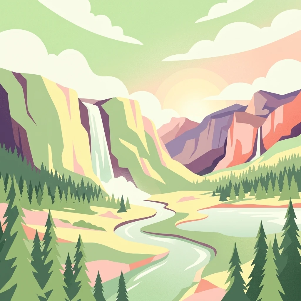
A digital illustration showing a mountain valley at sunset, featuring waterfalls cascading down cliffs, a winding river, and pine trees.

Lac du Bois Grasslands Protected Area

Protected area

Park overview

Structured park overview, official facts, and landscape profile for Lac du Bois Grasslands Protected Area

Lac du Bois Grasslands Protected Area park facts, protected area profile, and essential visitor context

Review the core facts for Lac du Bois Grasslands Protected Area, including designation, size, terrain, visitor scale, habitats, and operating context in one park-focused overview.

About Lac du Bois Grasslands Protected Area

Lac du Bois Grasslands Protected Area is a sizeable, ecologically distinctive protected area in the south-central interior of British Columbia. Positioned in the Thompson-Nicola Regional District and lying just north of Kamloops, it occupies a transitional zone of the southern Interior Plateau and forms part of the more extensive Bonaparte Plateau highland system. The protected area's fifteen thousand hectares encompass a mosaic of landforms, including gently rolling foothills, shallow basins with small lakes and ponds, and elevated benches and cliffs that overlook the North and South Thompson Rivers and Kamloops Lake.

Ecologically, Lac du Bois is notable for the way it preserves a working example of the dry forest-grassland mosaic that once covered much of the southern interior but has been heavily altered elsewhere. Open fields dominated by junegrass and bluebunch wheatgrass are broken by groves and scattered stands of ponderosa pine and Douglas fir, with big sagebrush and bunchgrass communities prevailing on the warmer southern benches. As elevation climbs through the protected area, these drier plant communities gradually give way to denser coniferous forest, producing a layered ecological transition within a relatively compact footprint.

This combination of dry climate, alkaline soils, varied topography, and river-valley exposure has created conditions suitable for both grassland-adapted and forest-associated species. The protected area therefore functions not only as a refuge for bunchgrass communities and their associated flora and fauna, but also as a connecting landscape between drier lowland habitats and the cooler, wetter forests of higher elevations. Its establishment by BC Parks in 1996 reflects the recognized conservation value of protecting an intact example of a threatened and increasingly uncommon interior ecosystem.

Quick facts and research context for Lac du Bois Grasslands Protected Area

Lac du Bois Grasslands Protected Area lies north of Kamloops in south-central British Columbia, occupying the southern flanks of the Bonaparte Plateau within the larger Interior Plateau. Established on 30 April 1996 and managed by BC Parks, it was created specifically to protect a mixed forest-grassland ecosystem that overlooks the forks of the Thompson River.

The terrain ranges from gently rolling foothills dotted with small lakes to prominent rocky cliffs above Kamloops Lake, with predominantly alkaline soils shaping its vegetation. The protected area combines jungrass and bluebunch wheatgrass prairie with stands of ponderosa pine and Douglas fir, plus big sagebrush communities on southern benches. It qualifies as IUCN Category II, reflecting national-park-level protection standards for its ecological values.

Protection and recognition

Examine documented terrestrial protection metrics and official designation scope.

Lac du Bois Grasslands Protected Area Protection Status and Recognition

Terrestrial protection status records outline the documented management scope and conservation standing established for Lac du Bois Grasslands Protected Area. Structured designation data clarifies official recognition frameworks without assuming international listings or unverified boundaries.

Protection details

Protection scope
Terrestrial
Transboundary protection
No
Park context

Deeper park guide and search-rich context for Lac du Bois Grasslands Protected Area

Lac du Bois Grasslands Protected Area history, landscape, wildlife, and travel context

Explore Lac du Bois Grasslands Protected Area through its history, landscape character, ecosystems, wildlife, conservation priorities, cultural context, and seasonal travel timing in a structured park guide built for atlas discovery and search intent.

Why Lac du Bois Grasslands Protected Area stands out

Lac du Bois Grasslands Protected Area is best known for protecting one of British Columbia's most significant native dryland grassland complexes, where bunchgrass prairie coexists with open ponderosa pine and Douglas fir woodland. Its setting high above the Thompson River valley gives the protected area a striking mix of rolling grassy hills, small lakes, and dramatic rocky cliffs. The area is also recognized for the rare ecological transition it preserves, moving from arid sagebrush-covered benches up through dry bunchgrass fields and into denser montane forest. This ecological gradient supports a distinctive suite of species, including grassland birds of conservation concern and reptiles such as the western rattlesnake near the northern edge of its range.
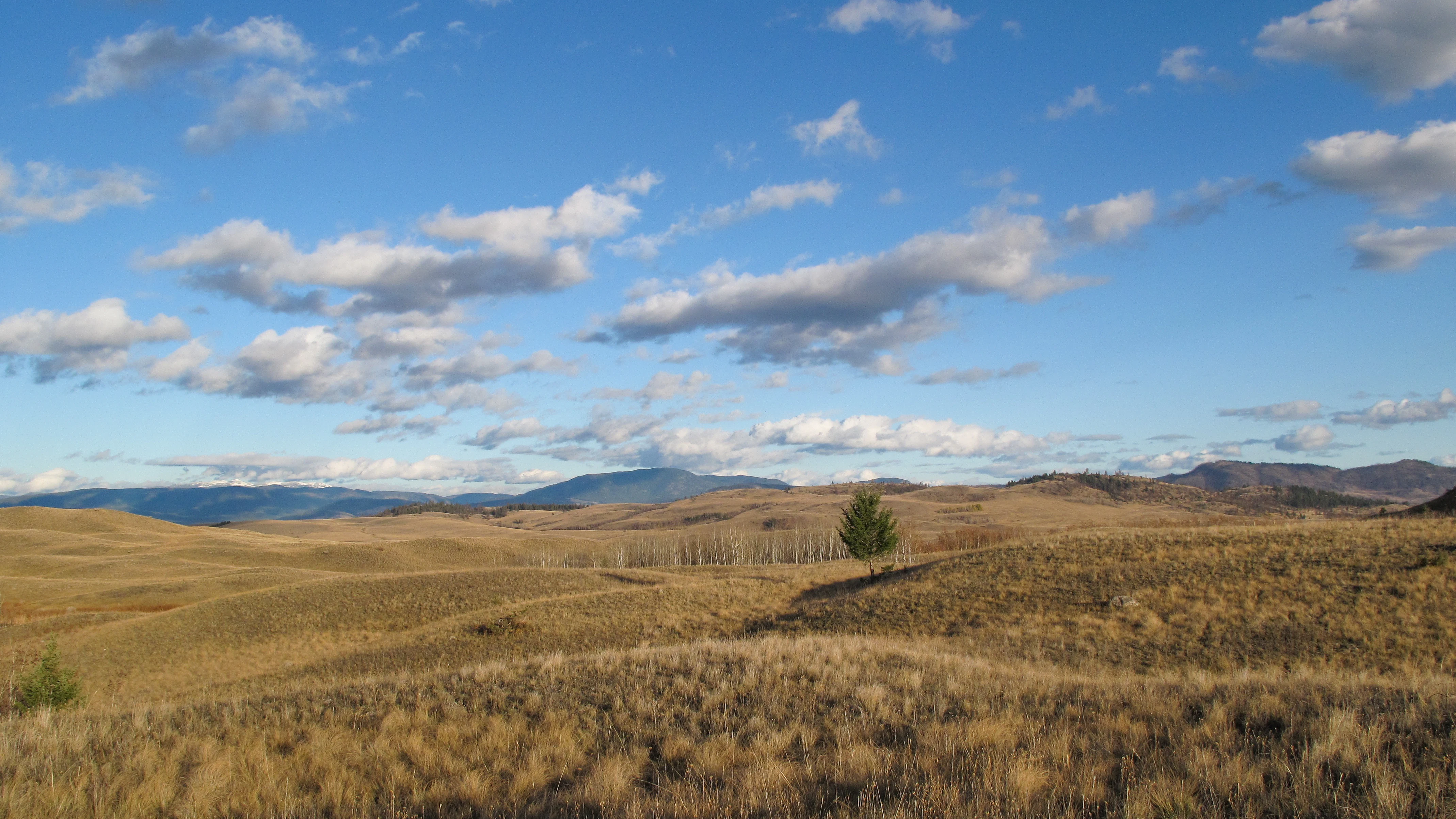
A wide landscape view of golden, dry grassy hills under a bright blue sky with scattered clouds, with low rolling mountains in the distance.
A wide view across the golden grasslands of Lac du Bois Protected Area.

Lac du Bois Grasslands Protected Area history and protected-area timeline

The protected area was established by BC Parks on 30 April 1996, with its designation specifically aimed at protecting a unique mixed forest-grassland ecosystem overlooking the forks of the Thompson River. The decision to formally protect the area reflected growing recognition that the dryland grassland landscapes of British Columbia's interior had become increasingly rare, owing to historical grazing pressure, altered fire regimes, land conversion, and broader land-use changes across the southern plateau.

By placing the southern foothills of the Bonaparte Plateau under long-term protection, BC Parks sought to maintain an ecologically intact example of the bunchgrass and ponderosa pine landscape that historically defined much of the region around Kamloops. Since its establishment, the protected area has continued to be managed as an IUCN Category II landscape, reflecting national-park-level protection standards for ecological values, while still allowing compatible low-impact public use and traditional activities such as regulated hunting in season.

Lac du Bois Grasslands Protected Area landscape and geographic character

Lac du Bois Grasslands spans the southern foothills of the Bonaparte Plateau, within the larger Interior Plateau that bisects British Columbia. This position gives the protected area a layered topography in which elevation change plays a defining role in shaping vegetation, soil character, and viewscapes. The terrain includes broad rolling hills broken by small lakes and basins, ascending toward the plateau uplands and descending toward the river valleys below.

The most visually striking landforms are found where the protected area's edge rises above the Thompson River system. Prominent rocky cliffs and benches overlook Kamloops Lake and the surrounding valleys, offering expansive views over the North and South Thompson forks. Soils across much of the landscape are alkaline, supporting the drought-adapted plant communities that lend the protected area its distinctive semi-arid character despite being situated well within a generally forested region of British Columbia.

Elevational change across the protected area creates a clear gradient from dry lowland benches and open grasslands up through transitional woodland to denser coniferous forest near the higher fringes. The presence of numerous small lakes and ponds across the rolling uplands adds further variety to the landscape, creating pockets of wetland habitat within otherwise grass-dominated terrain.

Lac du Bois Grasslands Protected Area ecosystems, habitats, and plant life

The ecological identity of Lac du Bois Grasslands is defined by its dryland character and the unusual presence of extensive native grassland within an otherwise forested region. Open fields are dominated by junegrass and bluebunch wheatgrass, two foundational bunchgrass species of the interior plateau, while groves and scattered trees of ponderosa pine and Douglas fir break up the grassy expanse. This combination of grass, scattered conifers, and shrublands is characteristic of the broader Okanagan dry forests ecological zone.

In the southeastern corner of the protected area, the southern benches support a different plant community altogether. Here, big sagebrush becomes prominent alongside bluebunch wheatgrass, marking a warmer, drier setting more closely associated with sagebrush steppe than with the mixed grassland-pine woodland above. The presence of alkaline soils throughout much of the protected area reinforces the arid character of these plant communities and helps explain why grassland can persist at this latitude and elevation.

As elevation increases, the cover of ponderosa pine and Douglas fir thickens and the grassland gradually transitions into a continuous coniferous forest. This ecological staircase, from open bunchgrass through scattered pine woodland into dense montane forest, gives Lac du Bois much of its conservation significance, since such intact gradients have become uncommon elsewhere in the region.

Lac du Bois Grasslands Protected Area wildlife and species highlights

The wildlife of Lac du Bois reflects the intersection of dry grassland, sagebrush steppe, and coniferous forest habitats within a single protected landscape. Among resident mammals, the area supports black bear, mule deer, white-tailed deer, and moose, with bighorn sheep present in the rougher terrain that overlooks the Thompson River valley. These species together reflect the protected area's ability to support both open-country grazers and browsers and forest-dwelling mammals.

Birdlife is one of the protected area's strongest identity markers. Open-country and shrub-steppe species such as sharp-tailed grouse and long-billed curlew occur alongside harriers and a variety of waterfowl around the small lakes and ponds. The presence of the flammulated owl indicates the value of mature ponderosa pine and Douglas fir stands within the protected area for cavity-nesting and forest-dependent species.

The grasslands also provide habitat for the western rattlesnake near the northern extent of its range, underscoring the importance of Lac du Bois as a landscape where dry, sun-exposed slopes with rocky terrain support reptile populations that are otherwise uncommon at this latitude in British Columbia.

Lac du Bois Grasslands Protected Area conservation status and protection priorities

Lac du Bois Grasslands Protected Area is significant from a conservation perspective because it protects one of the most intact dryland forest-grassland ecosystems remaining in British Columbia's interior. Grassland and open ponderosa pine woodland communities of this kind have been reduced and fragmented across much of their historic range, making large, ecologically continuous examples such as Lac du Bois increasingly important for long-term biodiversity conservation.

The protected area's IUCN Category II designation, equivalent to national park-level protection for ecological values, reflects its role as a refuge for species and habitat types that depend on dry conditions, alkaline soils, and open landscapes. By maintaining the ecological gradient from sagebrush steppe through bunchgrass prairie and into montane forest, the protected area helps preserve not only individual species but also the ecological processes that sustain them.

Its contribution to conservation also extends to the broader landscape. Positioned above the forks of the Thompson River and near Kamloops, Lac du Bois functions as a substantial natural anchor within a regional matrix that includes both urban and rural land uses, helping to sustain habitat connectivity and ecological representation in an area where natural grassland has otherwise receded.

Top sights and standout views in Lac du Bois Grasslands Protected Area

A defining highlight of Lac du Bois Grasslands Protected Area is the continuity of its native bunchgrass communities, where fields of junegrass and bluebunch wheatgrass still dominate the rolling foothills above the Thompson River. The presence of mature ponderosa pine and Douglas fir scattered through these grasslands, and big sagebrush on the southern benches, gives the protected area a layered plant community rarely preserved at this scale.

Equally notable are the wildlife experiences the landscape supports, from sharp-tailed grouse, long-billed curlew, and harriers in the open country to black bear, mule deer, and bighorn sheep on the hills and cliffs. The combination of dramatic viewpoints above Kamloops Lake, numerous small upland lakes, and a near-intact ecological gradient makes Lac du Bois a flagship example of dryland conservation in British Columbia's interior.

Best time to visit Lac du Bois Grasslands Protected Area

The grasslands and open ponderosa pine woodland of Lac du Bois are most easily appreciated in late spring and summer, when the bunchgrass communities are growing, wildflower displays are at their peak, and the small lakes and ponds are fully thawed and active with waterfowl. Warm, dry summer conditions also offer the best chance to encounter reptiles such as the western rattlesnake on rocky south-facing slopes.

Autumn brings cooler temperatures and the possibility of observing bighorn sheep and mule deer as they move through the hills, while winter snow conditions transform the rolling country into a quieter landscape suited to low-impact winter travel. Because the protected area is open year-round and supports a range of activities from hiking and wildlife viewing to regulated hunting in season, the character of any visit depends largely on which seasonal qualities of the landscape a visitor is seeking.
Monthly climate preview

Monthly temperature ranges and long-term precipitation rhythms across the protected terrain

Lac du Bois Grasslands Protected Area Climate Normals and Temperature Patterns

Historical climatology data details the measured monthly temperature progression and precipitation averages recorded at a representative elevation point within Lac du Bois Grasslands Protected Area. Examining the full twelve-month profile provides deeper analytical insight into long-term environmental patterns across the protected landscape.
Annual mean3 °C
-9 °C16 °C
Jan-9°
Feb-7°
Mar-2°
Apr
May
Jun12°
Jul16°
Aug16°
Sep10°
Oct
Nov-4°
Dec-9°
Warmest month
July

16.2 °C

Coolest month
January

-9.2 °C

Wettest month
June

2 mm/day

Driest month
April

1.1 mm/day

Park location guide

Geography guide, regional context, and park location map for Lac du Bois Grasslands Protected Area

Lac du Bois Grasslands Protected Area park geography, regions, and map view in Canada

Understand where Lac du Bois Grasslands Protected Area sits in Canada through a broader geographic reading of the surrounding landscape, nearby location context, and its mapped position within the national park landscape.

How Lac du Bois Grasslands Protected Area fits into Canada

Canada is a federal parliamentary constitutional monarchy spanning North America from the Atlantic to the Pacific and Arctic Oceans. With a population of over 41 million, it is officially bilingual in English and French at the federal level. The country gained independence from the United Kingdom through a gradual process culminating in 1982.

Wider geography shaping Lac du Bois Grasslands Protected Area in Canada

Canada occupies the northern portion of North America, sharing its longest international border with the United States. The country extends from the Atlantic Ocean to the Pacific Ocean and northward into the Arctic Ocean, giving it the longest coastline of any nation.

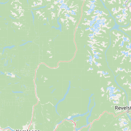
Map view of Lac du Bois Grasslands Protected Area

Use this park location map to pinpoint Lac du Bois Grasslands Protected Area in Canada, understand its exact geographic position, and read its mapped placement within the surrounding landscape more clearly.

Pigeon | © OpenStreetMap contributors

Location context for Lac du Bois Grasslands Protected Area

British Columbia

Visual reference for dryland ecosystems, bunchgrass prairies, and rocky river cliffs

Lac du Bois Grasslands Protected Area Photos, Scenery, and Landscapes

Visual documentation of Lac du Bois Grasslands Protected Area reveals the intricate terrain of rolling bunchgrass hills, alkaline basins, and rocky benches overlooking the Thompson River valley. Examining these protected landscapes helps clarify the unique ecological transition from arid sagebrush benches up to dense coniferous forest.

A wide landscape view of golden, dry grassy hills under a bright blue sky with scattered clouds, with low rolling mountains in the distance.

A calm, reflective lake in the foreground under a clear blue sky, surrounded by rolling, grass-covered hills and distant trees in autumn.

Park atlas

Compare regional interior plateau ecosystems and connected conservation areas

Explore Parks Near Lac du Bois Grasslands Protected Area and Surrounding Protected Landscapes

Browse other protected areas and regional reserves connected to the unique interior geography of Lac du Bois Grasslands Protected Area. Comparing surrounding terrain helps place these dryland ecosystems and transition zones within broader provincial conservation patterns.
State or regional parkBritish Columbia
About 24 km away#1 closest

North

Porcupine Meadows Provincial Park: Protected Interior Landscapes and Plateau Geography

High-elevation sub-alpine meadows on the Bonaparte Plateau

Porcupine Meadows Provincial Park serves as a critical protected area within the interior of British Columbia. The terrain is characterized by expansive sub-alpine meadows, boggy wetland complexes, and mature old growth forest stands. This remote high-elevation environment offers a unique look at the plateau geography situated west of the North Thompson River, highlighting the transition between alpine habitats and forest interior.

Area
27.04 km²
Established
1996
IUCN
II
Relief
Upland
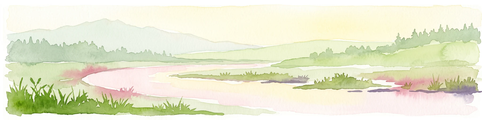
A watercolor illustration showing a river winding through a valley with soft colored hills, a sandy bank in the foreground, and sparse trees along the shore.
State or regional parkBritish Columbia
About 42 km away#2 closest

West

Juniper Beach Provincial Park: Geography and Protected Landscapes in British Columbia

Arid sagebrush steppe along the Thompson River corridor

Juniper Beach Provincial Park preserves a specialized pocket of desert ecology within British Columbia. Spanning 260 hectares, the area features a flat riverfront beach, steep bluffs, and open sagebrush slopes. This protected landscape offers a study in interior plateau geography, bridging the gap between riparian river systems and the dry, sun-exposed terrain of the Thompson Country.

Area
2.6 km²
Established
1989
IUCN
II
Relief
Lowland
State or regional parkBritish Columbia
About 86 km away#3 closest

West

Marble Canyon Provincial Park: A Geological Exploration of British Columbia's Limestone Terrain

Mapping the canyons, mountain lakes, and microbialite ecosystems of the Marble Range.

Marble Canyon Provincial Park provides a dense concentration of natural features in British Columbia. The area protects a deep, river-carved limestone gorge, surrounding mountain slopes, and the distinct carbonate structures of Pavilion Lake. This site serves as a vital natural laboratory for geological and scientific research while offering an accessible landscape of cliffs and clear interior waters.

Area
25.44 km²
Established
1956
IUCN
II
Relief
Mountain
A watercolor painting showing a soft landscape with rolling hills, a winding stream or lake, and grassy vegetation.
State or regional parkBritish Columbia
About 95 km away#4 closest

South

Kentucky Alleyne Provincial Park: Glacial Landscapes and Interior Protected Areas

Mapping kettle lake geography in the British Columbia interior

Kentucky Alleyne Provincial Park preserves a compact, richly varied landscape of kettle lakes, eskers, and dry interior forest. Located in the Nicola region of British Columbia, this protected area offers a clear look at glacial landforms and sun-warmed Ponderosa pine woodlands, standing as a distinct geographic landmark within the Canadian interior range country.

Area
1.9 km²
Established
1981
IUCN
II
Relief
Upland
State or regional parkBritish Columbia
About 96 km away#5 closest

West

Edge Hills Provincial Park: Mapping the Fraser Canyon and Interior British Columbia Geography

A remote protected fore-range between canyon and mountain

Edge Hills Provincial Park offers a study in interior British Columbia topography, where dramatic vertical relief from the Fraser River canyon meets high-elevation rolling hills. This undeveloped preserve highlights the transition between coniferous forests and dry grasslands, providing a distinct geographic perspective for those interested in Canadian protected landscapes and rugged mountain terrain.

Area
118.82 km²
Established
1995
IUCN
II
Relief
Mountain
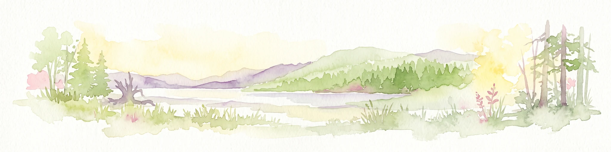
A watercolor painting showing a serene lake view with forested shoreline, grassy foreground, and rolling mountains in the distance, set against a soft, light background.
State or regional parkBritish Columbia
About 101 km away#6 closest

East

Mara Provincial Park: Protected Shoreline and Geographic Features in British Columbia

Mapping the Shuswap region's essential day-use lakeshore environment

Situated on the southern edge of Mara Lake, Mara Provincial Park functions as a key protected site in the Shuswap region of British Columbia. This area provides public access to sandy beaches and serves as the primary boat launch for the surrounding interior lake system, preserving natural terrain against private lakeshore development.

Area
0.05 km²
Established
1958
IUCN
II
Relief
Lowland
State or regional parkBritish Columbia
About 107 km away#7 closest

Southeast

Kalamalka Lake Provincial Park and Protected Area: Mapped Geography and Regional Context

A conservation landscape of the North Okanagan valley

Kalamalka Lake Provincial Park and Protected Area preserves 978 hectares of essential grassland and lakeshore habitats in British Columbia. The area features a complex mosaic of open meadows and mixed forest stands, offering a detailed perspective on the ecological transitions found within the Okanagan Valley. Its geography is defined by the shimmering turquoise waters of Kalamalka Lake, reflecting the unique interplay between seasonal mineral shifts and the surrounding arid terrain.

Area
9.78 km²
Established
1975
IUCN
II
Relief
Upland
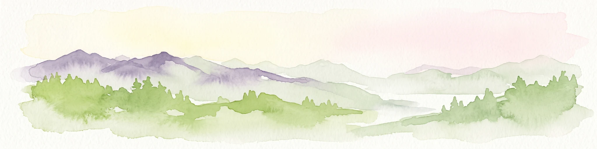
A wide watercolor painting showing layers of purple mountains in the distance, a misty valley, and green pine trees in the foreground under a pale pink and yellow sky.
Protected landscapeBritish Columbia
About 139 km away#8 closest

South

Coquihalla Summit Recreation Area: A Protected Landscape in the British Columbia Mountains

Mapping ecological transition zones and mountain terrain

Covering 5,750 hectares of rugged slopes and high-elevation ridges, Coquihalla Summit Recreation Area anchors a vital ecological transition between the coastal and interior climates of British Columbia. This mapped protected area offers a deep look into the granite peaks of the North Cascades and the historic remnants of transportation corridors spanning over a century.

Area
57.5 km²
Established
1987
Relief
Mountain
Scope
Terrestrial

Common questions about visiting, size, designation, and location context for Lac du Bois Grasslands Protected Area

Lac du Bois Grasslands Protected Area FAQs for park facts, access, geography, and protected area context

Find quick answers about Lac du Bois Grasslands Protected Area, including protected-area facts, park geography, trail and visitor context, and how the park fits into its surrounding country and regional landscape.
MoriAtlas Explorer

Continue Your Protected Areas Search Across the Global Atlas

Deepen your exploration by continuing the structured search for national parks and protected areas worldwide. Utilize the comprehensive filtering capabilities to compare different conservation landscapes and refine your understanding of global park geography. Discover more about the distribution and characteristics of protected natural areas.

Global natural geography