
Mori Atlas logo
Park guides

Navigate through curated resources focused on seasonal timing and geographic context.

Laguna San Rafael National Park: Official Guide Collection for Regional Exploration

Discover a selection of focused guides designed to assist in understanding the complex geography and seasonal dynamics of Laguna San Rafael National Park. These resources provide context for navigating the glacial terrain of the Northern Patagonian Ice Field and the surrounding fjord systems in the Aysén region.

Related tags

Glacial landscapesUNESCO Biosphere ReservePatagoniaTidewater glaciersNorthern Patagonian Ice Field

Patagonian wilderness of glaciers, fjords, and ice fields in southern Chile

Laguna San Rafael National Park

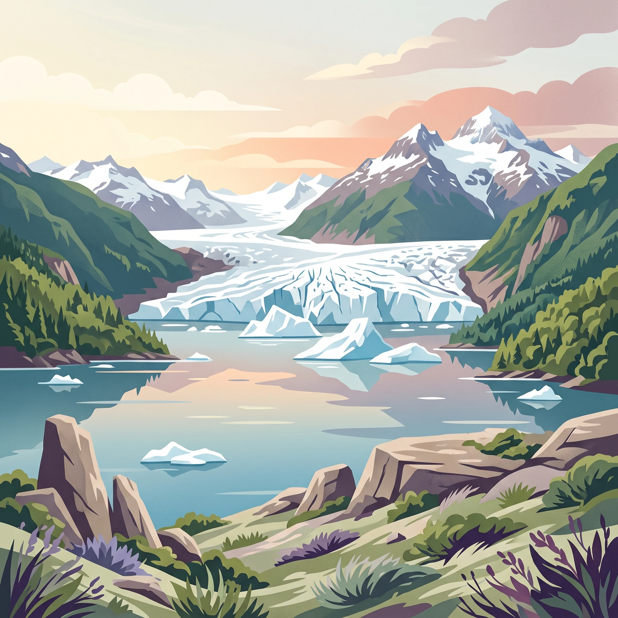
Laguna San Rafael National Park occupies a remarkable position at the crossroads of the Andes mountain range and the Pacific coast in Chile's remote Aysén Region. The park's defining feature is San Rafael Lagoon, a glacial lake approximately 16 kilometers in length that was formed as the San Rafael Glacier retreated from a land-terminating position to become a tidewater glacier reaching into the lagoon. This glacial history is central to the park's identity, with the glacier having first reached the lagoon between 1741 and 1766 and remaining a calving glacier to the present day. The park encompasses portions of the Northern Patagonian Ice Field, a significant temperate ice mass that feeds numerous glaciers and receives extraordinary snowfall that maintains the ice field despite the relatively low latitude. The geography includes towering peaks such as Monte San Valentín, Cerro Arenales, and Cerro Pared Norte, all rising above the glacial valleys and fjord systems that characterize the landscape. Rivers including the Baker River, Exploradores River, and San Tadeo River traverse or border the park, while Témpanos River provides the hydrological connection between San Rafael Lagoon and the Gulf Elefantes. The park's position within the Chilean Inside Passage creates a complex coastal environment where protected channels and open gulf waters coexist, supporting both terrestrial and marine protected values.

Location
Chile
Park type
National park
Established
1959
Area
17,420 km²
Laguna San Rafael National Park Atlas
1 guide

Compare available seasonal planning themes to match specific visitor questions

Published Guides And Seasonal Planning Resources For Laguna San Rafael National Park

Published guides for Laguna San Rafael National Park organize essential planning topics into distinct reference materials for specialized research. Readers can examine seasonal planning insights to evaluate optimal months for glacier viewing and regional weather patterns.
MoriAtlas Explorer

Continue Exploring Laguna San Rafael National Park's Geographic Context

Deepen your understanding of Laguna San Rafael National Park by exploring its specific geographic setting and protected landscape features. This journey into the Aysén Region reveals the mapped context and regional patterns that define this significant natural area, supporting a more structured approach to geographic discovery.