
Mori Atlas logo
Park guides

Exploratory references covering seasonal timing and rift valley geography

Curated Guide Collection for the Landscapes of Lake Manyara National Park

This collection provides focused analysis of the natural systems defining Lake Manyara National Park. Use these resources to understand the impact of seasonal rainfall on flamingo congregations and the specific environmental conditions of the Great Rift Valley escarpment and groundwater forests.

Related tags

Rift Valley landscapesAlkaline lake ecosystemsGroundwater forestsBirdwatching hotspotsFlamingo congregations

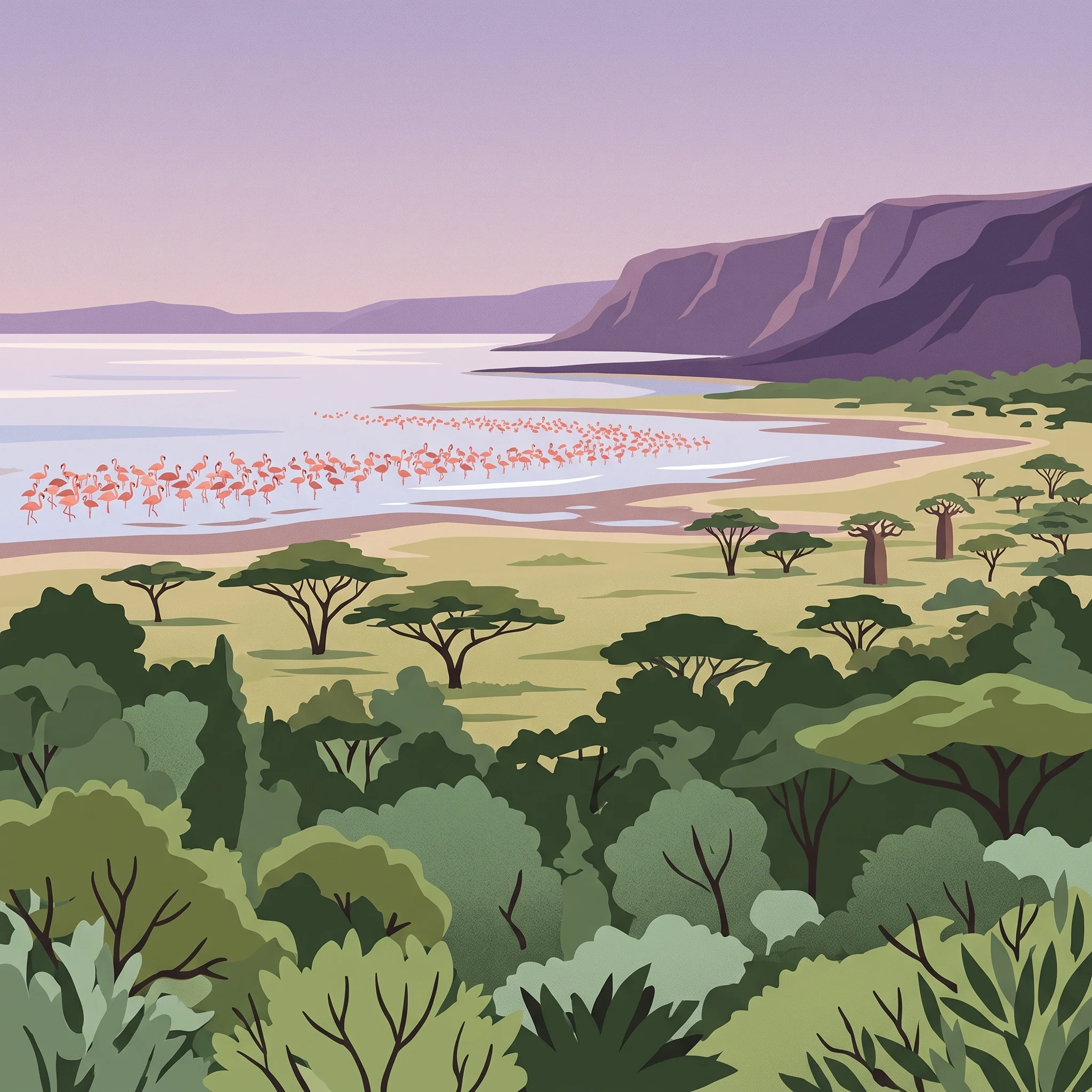
A shallow alkaline lake ecosystem where thousands of flamingos paint the shoreline and groundwater forests shelter diverse wildlife against the dramatic Rift Valley escarpment

Lake Manyara National Park

Lake Manyara National Park occupies a remarkable position within the Great Rift Valley system, where the geological forces that created the valley have produced a landscape of extraordinary ecological diversity. The park's core identity centers on Lake Manyara itself, a shallow alkaline lake that fills a depression in the rift floor. This lake is remarkable for the extreme fluctuations in its size and depth; at maximum extent it stretches 40 kilometers by 15 kilometers with a depth of up to 3.7 meters, while in dry periods it can shrink dramatically or even dry up completely. The 2010 bathymetry survey recorded an average depth of only 0.81 meters, illustrating the dynamic nature of this aquatic system. The park protects only the northwestern quadrant of the lake, with the remainder lying outside protected boundaries, though the entire lake and surrounding lands are incorporated into the broader biosphere reserve. The groundwater forests represent one of the park's most distinctive ecological features, existing in a narrow zone where perennial springs emerge from the base of the rift wall. These forests are dominated by evergreen species that depend on the steady water supply, creating a lush, almost tropical environment that contrasts sharply with the surrounding savanna and arid landscapes. Above the forest, the rift wall rises dramatically, with large African baobab trees punctuating the rocky slopes. The park also contains two hot springs, one near the center and another at the southern edge, with the Maji Moto springs on the western shore reaching temperatures of approximately 60 degrees Celsius, generated by geothermal heating from volcanic rocks deep beneath the rift floor.

Location
Tanzania
Park type
National park
Established
1960
Area
648 km²
Lake Manyara National Park Atlas
1 guide

Compare published destination themes to match your specific geographic and timing questions.

Lake Manyara National Park Published Guides Collection and Seasonal Timing Resources

Explore the complete published guide collection for Lake Manyara National Park to examine structured seasonal timing resources. Each focused reference helps readers compare dry season game viewing and wet season bird watching priorities.
MoriAtlas Explorer

Continue Exploring Lake Manyara National Park's Protected Landscape & Geography

Delve deeper into the structured geographic information and mapped landscape of Lake Manyara National Park. Understand its unique environmental context within the Arusha Region and its significance as a protected area. Discover how its distinct terrain and protected boundaries contribute to its ecological identity and atlas value.

Global natural geography