A high-elevation volcanic lake in Michoacán, cradle of Purépecha culture and a Ramsar wetland of national importance.
Lake Pátzcuaro
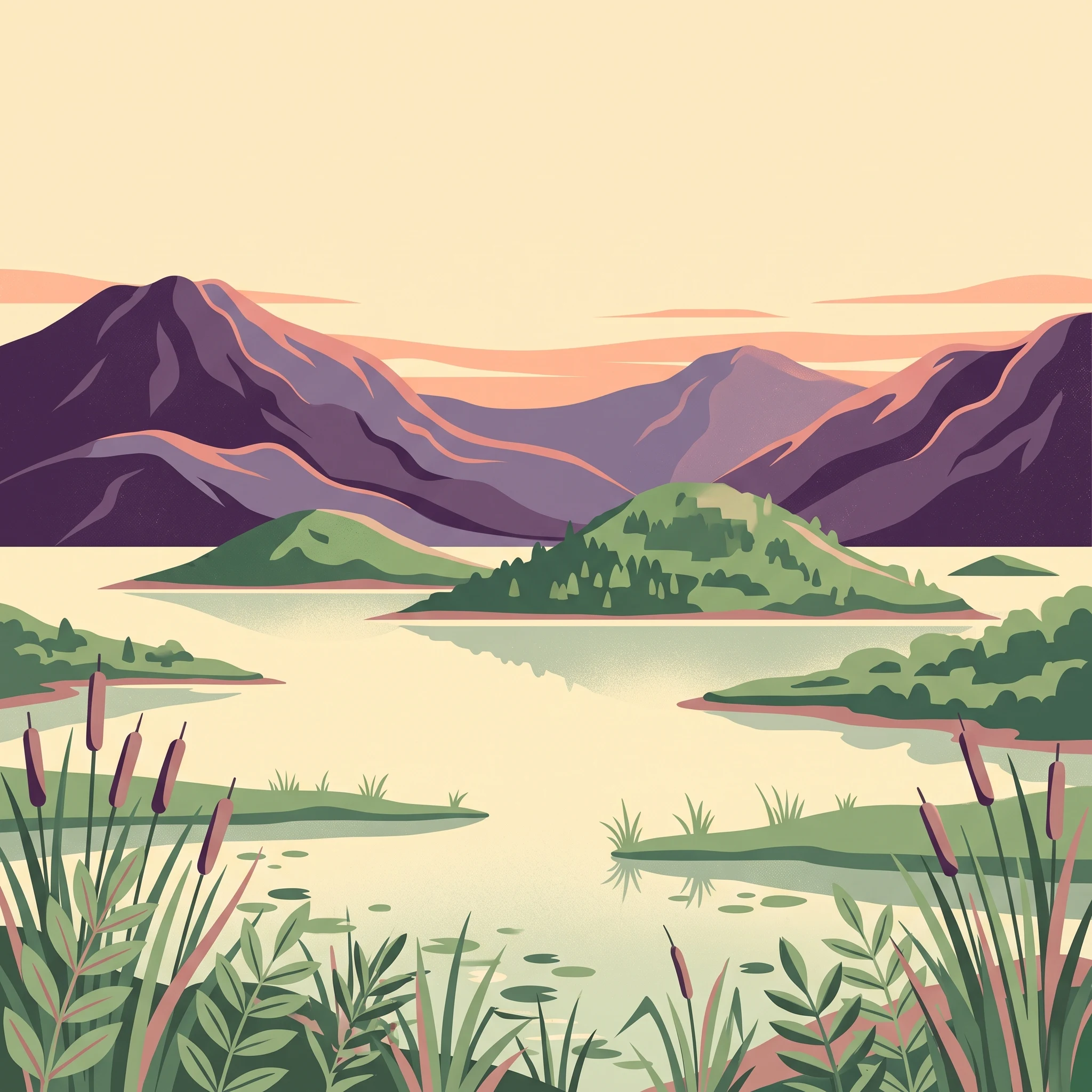
Lake Pátzcuaro is one of Mexico's most iconic inland water bodies, a freshwater lake nestled high in the volcanic highlands of Michoacán. Set within an endorheic basin that does not drain to the sea, the lake occupies a roughly oval depression surrounded by steep volcanic slopes that rise into the Trans-Mexican Volcanic Belt. Today it stretches across approximately 126 square kilometres, sits more than 2,000 metres above sea level, and is unusually shallow, with an average depth of around five metres and rare maximum depths approaching twelve metres. Because of this shallowness, broad, marshy wetland fringes have developed along much of the shoreline.
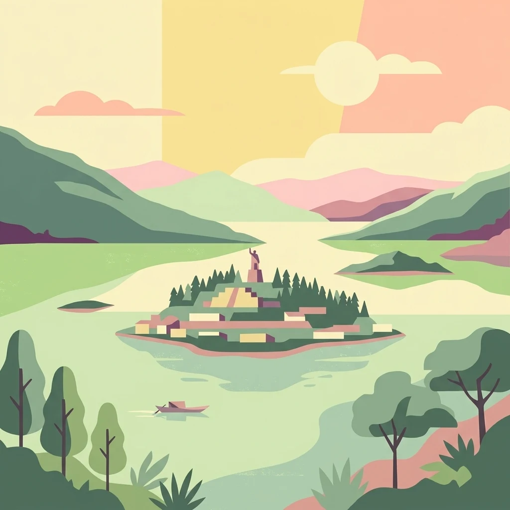
Far more than a scenic landscape, the lake is a powerful symbol of indigenous Mexican identity. For centuries it has functioned as the heart of Purépecha (Tarascan) culture, and major Purépecha settlements including Pátzcuaro, Tzintzuntzan, and Ihuatzio were founded along its shores. The lake carries layers of pre-Hispanic, colonial, and living indigenous heritage, from ancient yácatas ruins to vibrant traditional crafts, regional cuisine, and one of the country's most recognized cultural events: the Día de Muertos celebrations centered on the island of Janitzio.
Ecologically, Lake Pátzcuaro is just as significant as it is culturally. Its marshes were designated a Ramsar wetland of international importance in 2005, recognizing their value as habitat for waterbirds and as a refuge for endemic aquatic species. The lake harbors an unusual concentration of fauna found nowhere else, including the Lake Pátzcuaro salamander, the Pátzcuaro chub, the Pátzcuaro allotoca, the rough-footed mud turtle, and the Pátzcuaro dwarf crayfish, alongside nearly 200 recorded bird species. Surrounding the lake, pine-oak forests and xeric scrub climb the slopes, forming part of the broader Trans-Mexican Volcanic Belt pine-oak forest ecoregion.
Yet Lake Pátzcuaro is also a study in environmental vulnerability. Over the past half-century, deforestation, agricultural expansion, water diversion, untreated sewage, sedimentation, and invasive species have stressed the system, contributing to measurable drops in lake level, reduced depth, water quality decline, and localized extinctions. Restoration efforts led by government, scientists, and indigenous organizations are attempting to reverse these trends while preserving both the natural and cultural value of the basin.