Mori Atlas logo
Park earthquake history

Review historical seismic event data, epicentre distances, and magnitude records for this Polish Natura 2000 site.

Recorded Earthquake History and Seismic Catalogue for the Łąki nad Wojkówką Protected Area

This historical catalogue documents seismic events recorded in the vicinity of Łąki nad Wojkówką, a designated Natura 2000 grassland habitat in the Podkarpackie Voivodeship. The records provided detail event dates, magnitudes, and epicentre proximity to the park boundaries. This collection serves as a factual geographic reference for analyzing past seismic activity within the context of the Pogórze Dynowskie landscape.

Related tags

Natura 2000grasslandsxerothermic grasslandsArrhenatheretum meadowssubcarpathian foothills

A small Natura 2000 habitat site protecting xerothermic grasslands and fresh meadows above the Wisłok valley in the Carpathian foothills.

Łąki nad Wojkówką

Łąki nad Wojkówką is a small designated habitat protection area in southeastern Poland, identified under the Natura 2000 network as site PLH180051. It is located in the Subcarpathian Voivodeship (województwo podkarpackie), within the gmina of Wojaszówka, and lies across the foothills of the Pogórze Dynowskie mesoregion above the valley of the Wisłok River. The site takes the form of three small enclaves near the villages of Wojkówka, Rzepnik, and Odrzykoń, and covers a compact 9.62 hectares overall. The site is valued primarily for two grassland habitat types listed under Annex I of the European Union Habitats Directive. These are xerothermic (dry, sun-loving) grasslands belonging to the Festuco-Brometea class, and fresh mesic meadows of the Arrhenatheretum elatioris type. The overwhelming majority of the site, around 97 percent, falls within the boundaries of the Czarnorzecko-Strzyżowski Landscape Park (Czarnorzecko-Strzyżowski Park Krajobrazowy), with the remainder lying within the Czarnorzecki Protected Landscape Area (Czarnorzecki Obszar Chronionego Krajobrazu). As a Site of Community Importance under the EU Habitats Directive, Łąki nad Wojkówką contributes to a transnational effort to maintain rare and characteristic European habitat types. Its small size gives it a focused conservation role rather than a broad landscape-scale one, and its main significance lies in safeguarding semi-natural grassland communities that are otherwise diminishing in the Carpathian foothills.

Location
Poland
Park type
Protected area
Established
2011
Area
0.1 km²
Explore Łąki nad Wojkówką Protected Area Atlas

Search Łąki nad Wojkówką events by depth, place, and distance

Review the recorded earthquake catalogue near Łąki nad Wojkówką

The Łąki nad Wojkówką catalogue associates reported epicentres with its Subcarpathian grassland site by calculated distance, without assigning seismic meaning to rolling foothills, meadows, or xerothermic habitat. Each record provides a date, magnitude, depth, locality, source, and site distance for historical comparison without implying ecological effects, present danger, or prediction.

Sort by
Magnitude
Location

This page describes catalogued earthquakes associated with the park by epicentre location and distance. It does not establish causation, assess current danger, or predict future earthquakes.

No earthquake records match the current filters

Park atlas

Move past Łąki nad Wojkówką historical earthquake data

Discover other protected destinations after Łąki nad Wojkówką

Continue from Łąki nad Wojkówką’s earthquake records to protected places with separate identities elsewhere in the atlas. The recommendations expand discovery beyond this Polish meadow and grassland site without signaling equivalent Natura 2000 status, Carpathian foothill ecology, geology, seismic evidence, nearby location, present hazard, risk, or source coverage.
Nature reservePodkarpackie Voivodeship
0.1 km away#1 closest

Northeast

Wisłok Środkowy z Dopływami Protected Nature Reserve in the Podkarpackie Voivodeship

River corridor geography and riparian ecosystem analysis

Wisłok Środkowy z Dopływami serves as a crucial Natura 2000 site, safeguarding the middle course of the Wisłok River and the Stobnica tributary. This nature reserve provides essential habitat for various protected fish species and butterfly populations within a terrain shaped by the transition between the Jasielsko-Krośnieńska Basin and the Carpathian foothills. The area represents a significant riparian landscape, offering a window into the natural freshwater geography of southeastern Poland.

Area
10.646 km²
Established
2011
Relief
Upland
Scope
Terrestrial
Nature reservePodkarpackie Voivodeship
0.3 km away#2 closest

Southeast

Ostoja Czarnorzecka Nature Reserve: Mapped Protected Landscapes in Podkarpackie Voivodeship

Carpathian foothills forest and cave habitat mapping

Ostoja Czarnorzecka is a protected nature reserve located in the Dynów Foothills of Poland. The area is defined by its dense Carpathian beech forests and a network of small, undisturbed caves. As a critical component of the regional conservation framework, it provides unique ecological benefits through its mature woodland cover and protected bat habitats found across the Sucha Góra and Królewska Góra ridges.

Area
19.466 km²
Established
2009
Relief
Upland
Scope
Terrestrial
Protected areaPodkarpackie Voivodeship
6.4 km away#3 closest

West

Wisłoka z dopływami Protected Area: River Valley Landscape and Carpathian Foothills Atlas

Freshwater habitat mapping in southern Poland

Wisłoka z dopływami covers a long, ecologically rich segment of the Wisłoka river valley in the Carpathian foothills. This protected area connects diverse riparian, floodplain, and alluvial forests, serving as a critical habitat for six Annex II fish species and sixteen distinct riparian woodland types.

Area
26.51 km²
Established
2011
Relief
Mixed relief
Scope
Terrestrial
Nature reservePoland
8.9 km away#4 closest

Southeast

Łąki w Komborni Nature Reserve: Geographic Insights and Protected Meadow Atlas

Subcarpathian grassland conservation in southeastern Poland

Examine the ecological landscape of Łąki w Komborni, a protected site in the Jasielsko-Krośnieńska Basin. This analysis focuses on the meadow habitat structure and its role as a representative Natura 2000 conservation area within the Polish landscape.

Area
0.131 km²
Established
2011
Relief
Lowland
Climate
Temperate
Watercolor painting of a peaceful wetland landscape featuring a gentle stream, soft green meadows, and gentle hills under a light pink sky.
Protected areaPodkarpackie Voivodeship
19 km away#5 closest

West

Łąki nad Młynówką: Protected Area and Riverine Valley in Podkarpackie Voivodeship

Geography of Carpathian foothill meadows and natural stream corridors.

Łąki nad Młynówką is a protected landscape in the Podkarpackie Voivodeship defined by its network of traditionally mown meadows and the unregulated Młynówka watercourse. The valley presents a diverse topographical mix, from sedge-dominated wet communities and willow carrs to oak-hornbeam forest fragments, forming a coherent ecosystem within the Pogórze Ciężkowickie foothills.

Area
0.51 km²
Established
2011
Relief
Upland
Scope
Terrestrial
Protected areaPodkarpackie Voivodeship
21 km away#6 closest

Southeast

Rymanów Protected Area: Map and Landscape Overview in Podkarpackie Voivodeship

Forested foothill geography and Natura 2000 site boundaries

Located in the Podkarpackie Voivodeship, Rymanów is a 52-square-kilometer protected area defined by its rolling Bukowskie Foothills terrain. This site highlights the intersection of traditional architecture and subcarpathian forest, providing critical habitat within the larger Beskid Niski Protected Landscape Area. Examine the spatial relationship between its protected roosts and surrounding foraging zones.

Area
52.41 km²
Established
2009
Relief
Upland
Scope
Terrestrial
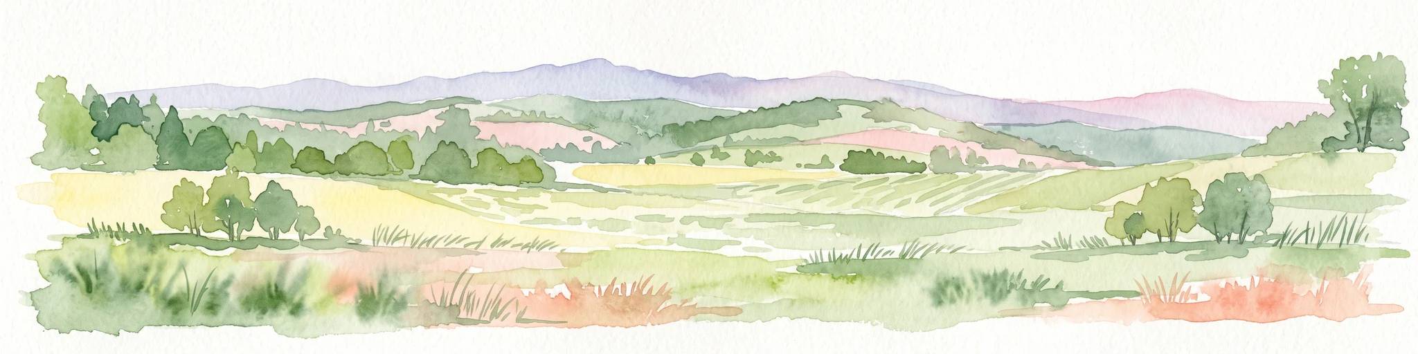
A horizontal watercolor painting depicting a soft, rolling landscape with green fields, patches of trees, and distant lavender-toned mountains under a pale sky.
National parkPodkarpackie Voivodeship
22 km away#7 closest

Southwest

Magurski Park Narodowy: Geographic Overview and Protected Carpathian Forest Atlas

Transitional mountain landscapes in Podkarpackie Voivodeship

Magurski Park Narodowy encompasses a distinct Carpathian forest landscape within the Beskid Niski range. The terrain is defined by rounded mountain ridges, the upper Wisłoka river basin, and strict forest reserves that maintain the ecological integrity of this transitional zone. As a major protected area in Poland, the park provides an essential look at biodiversity-rich beech woodlands, rocky outcrops, and traditional cultural landscapes.

Area
194.39 km²
Established
1995
Visitors
40K annual
Relief
Mountain
Watercolor illustration showing a landscape with rolling hills, green trees, and distant mountains under a light sky
National parkSubcarpathian Voivodeship
22 km away#8 closest

Southwest

Magura National Park: Mapped Protected Landscape & Carpathian Geography Atlas

Explore unique sandstone formations and mapped natural terrain.

Magura National Park, located in the Subcarpathian Voivodeship of Poland, offers a rich focus for protected-area exploration and geographic discovery. This national park is distinguished by its dramatic sandstone rock formations, forested Carpathian ridges, and its ecological importance as a transitional zone. Users engaging with Magura National Park can examine its mapped boundaries, understand its specific landscape context, and appreciate its role within the broader regional geography.

Area
194.39 km²
Established
1995
IUCN
II
Visitors
40K annual
MoriAtlas Explorer

Continue Exploring the Protected Landscapes and Geography of Łąki nad Wojkówką

Delve deeper into the ecological structure and mapped terrain of Łąki nad Wojkówką. MoriAtlas provides a clear view of how these grassland enclaves function within the Subcarpathian landscape, helping you trace the boundaries of this essential Natura 2000 site through detailed geographic observation.