
Mori Atlas logo
Nature reserveNaturschutzgebiet Lampertheimer Altrhein

Mapped insights into the oxbow lakes, floodplain meadows, and riverine woodlands of this Hessian reserve

Naturschutzgebiet Lampertheimer Altrhein: Geography and Protected Wetland Landscape in Hessen

Naturschutzgebiet Lampertheimer Altrhein encompasses a vital wetland mosaic formed by a historic Rhine River meander within the Bergstraße district of Hessen. This protected area features shallow oxbow lakes like Welsche Loch and Fretter Loch, surrounded by wet meadows and riverine forests. The reserve functions as a crucial habitat complex for waterbirds and occupies a distinct place in the regional geography of the Upper Rhine.

wetlandfloodplainformer river meanderoxbow lakereedbedwet meadow
A flat-style digital illustration of a calm river winding through a lush green landscape with trees, flowering shrubs, and a bright sun in the sky.

Naturschutzgebiet Lampertheimer Altrhein

Nature reserve

Park overview

Structured park overview, official facts, and landscape profile for Naturschutzgebiet Lampertheimer Altrhein

Naturschutzgebiet Lampertheimer Altrhein park facts, protected area profile, and essential visitor context

Review the core facts for Naturschutzgebiet Lampertheimer Altrhein, including designation, size, terrain, visitor scale, habitats, and operating context in one park-focused overview.

About Naturschutzgebiet Lampertheimer Altrhein

The Naturschutzgebiet Lampertheimer Altrhein is a protected landscape of roughly 516 hectares in the western part of Lampertheim, in the Bergstraße district of Hesse. It sits near the tripoint where Hesse, Baden-Württemberg, and Rhineland-Palatinate meet, about 15 kilometers north of Mannheim and around 5 kilometers southeast of Worms. The entire protected area lies east of the present Rhine channel, on Hessian territory.

The reserve occupies a former bend of the Rhine that was separated from the main river during the great Upper Rhine straightening of the late 19th century. What was once a flowing loop of the Rhine is now a quieter corridor of shallow water, wet meadows, and riverine woods. Two notable waterbodies mark the landscape: the 40-hectare shallow Welsche Loch and the smaller Fretter Loch. The floodplain mosaic created by these lakes and the abandoned channel is what gives the area its special conservation value.

Administratively and ecologically, the reserve is integrated into the European Natura 2000 network. Its boundaries are aligned identically with the FFH site (Habitats Directive area) and the EU Bird Protection Area, both registered under the code DE-6316_401. This dual designation underlines the area's importance at the European level, both for habitat types tied to floodplain and wetland systems and for the bird populations that depend on them.

Because of that blend of historical river channel, shallow lakes, grasslands, and forests, the reserve has become an important stopover and breeding area for many bird species, several of which are considered threatened. The presence of a cormorant colony at the Welsche Loch is one of its most distinguishing features, along with the broader mix of open water, reedbeds, and meadows that define the old Rhine arm. Although it is much smaller in area than some Lower Rhine floodplain reserves, the Lampertheimer Altrhein is widely regarded as the second most important old-Rhine protected area in Hesse, after the larger Kühkopf-Knoblochsaue further north.

Quick facts and research context for Naturschutzgebiet Lampertheimer Altrhein

Located in the Bergstraße district of Hesse, the reserve covers roughly 516 hectares along an old Rhine meander west of Lampertheim. It forms part of the European Natura 2000 network both as a Habitats Directive site and as a Bird Protection Area under the shared designation DE-6316-401.

The reserve consists essentially of two core zones: the Biedensand area, an old island between the former and the present-day river channel, and the Bonnaue, a grassland floodplain shaped by the old river course. Two named oxbow lakes, the Welsche Loch and the Fretter Loch, lie within the protected area, with the larger Welsche Loch alone covering about 40 hectares.

Protection and recognition

Review documented terrestrial protection scope and official administrative records

Naturschutzgebiet Lampertheimer Altrhein Protection Status and Designation Data

Naturschutzgebiet Lampertheimer Altrhein maintains a documented terrestrial protection scope within the global protected area registry. Official records compile administrative boundaries and conservation status details for detailed regional analysis.

Protection details

Protection scope
Terrestrial
Transboundary protection
No
WDPA ID
4397
Park context

Deeper park guide and search-rich context for Naturschutzgebiet Lampertheimer Altrhein

Naturschutzgebiet Lampertheimer Altrhein history, landscape, wildlife, and travel context

Explore Naturschutzgebiet Lampertheimer Altrhein through its history, landscape character, ecosystems, wildlife, conservation priorities, cultural context, and seasonal travel timing in a structured park guide built for atlas discovery and search intent.

Why Naturschutzgebiet Lampertheimer Altrhein stands out

The reserve is best known for its combination of a former Rhine meander, connected oxbow lakes, wet grasslands, and riverine forests, which together support an exceptionally rich breeding bird community along the Hessian Rhine. The presence of a cormorant colony at the Welsche Loch and the broader isolated character of the old Rhine arm have made this site one of the most significant bird protection areas in the region. By any measure, its ecological significance rests on the interaction between historical river straightening, residual waterbodies, and the subsequent development of reedbeds, meadows, and softwood floodplain woodland that is now the foundation of its conservation value.
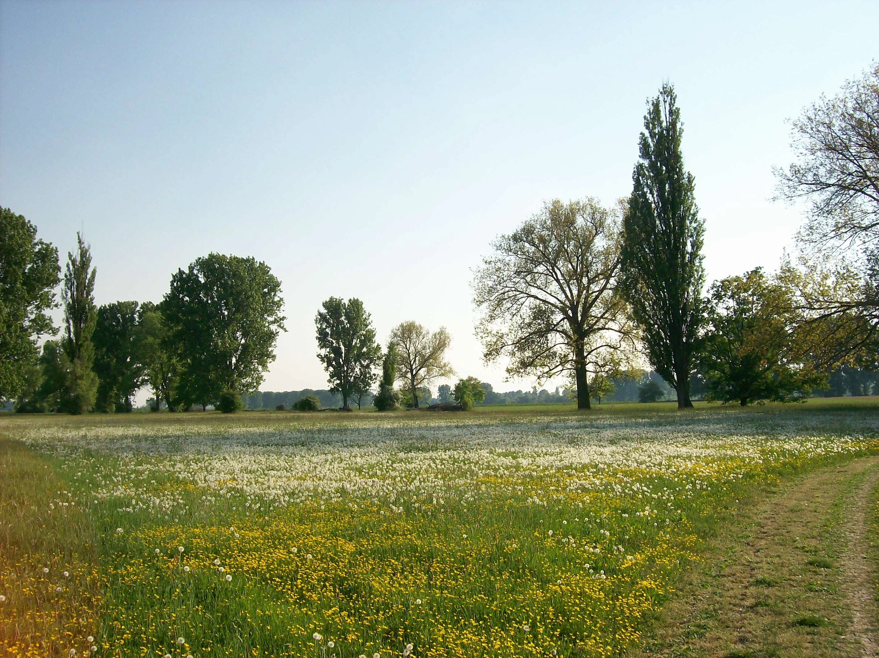
A wide view of a grassy meadow filled with yellow and white wildflowers, with scattered trees in the background under a clear sky.
A wildflower meadow in the Biedensand area of the Lampertheimer Altrhein nature reserve.

Naturschutzgebiet Lampertheimer Altrhein history and protected-area timeline

The history of the landscape begins centuries before it became a nature reserve. In 1354, written descriptions of the river already mentioned two small islands in the Rhine at this location, named Büdensand and Langen Zeil. These islands formed the nucleus of what is now the Biedensand area of the reserve.

The decisive change came in 1878 and 1879, when the Rhine was straightened near Lampertheim as part of the great Upper Rhine correction. The cut was planned under the direction of Johann Gottfried Tulla, the engineer most closely associated with the 19th century Rhine straightening program. When the new channel was opened, the old loop was severed from the main river, leaving behind what is now called the Lampertheimer Altrhein. The Nackenheim boatman Johann Welsch was the first to pass through the new waterway, and his name lives on in the largest lake of the reserve, the Welsche Loch.

The protected status of the area also developed in stages. As early as 1926, parts of the old Rhine meander were placed under special protection by police ordinance, recognizing its growing ecological value even before formal nature conservation legislation was established nationwide. On 13 August 1937, the area finally received its present status as a Naturschutzgebiet, formal recognition that the landscape created by the river cut was now also a landscape to be defended.

In more recent decades, the reserve has faced a different kind of pressure: continually dropping water levels in the old Rhine arm have raised concerns among conservationists and other interest groups, since the very shallow waterbodies that make the area so valuable are also among its most fragile elements. Dredging of the old channel has been discussed as one possible response, reflecting how the site's continuing ecological identity is tied to active landscape management.

Naturschutzgebiet Lampertheimer Altrhein landscape and geographic character

The defining feature of the reserve is a former Rhine meander that has been isolated from the active river channel since the 19th century. The cut created a quieter, slower-moving corridor of water and adjacent floodplain that today forms the heart of the protected area. The present Rhine runs separately to the west, while the old loop now belongs to Hesse alone.

Within the reserve, two lakes mark the old river course: the Welsche Loch, a roughly 40-hectare shallow lake, and the smaller Fretter Loch. These waterbodies, together with the reedy and silty margins of the abandoned channel, shape the most distinctive scenery of the area. Surrounding them is a layered mosaic of habitats, including open water, marshland, wet meadows, tall reeds, and softwood floodplain forest on slightly higher ground.

At the landscape scale, two named areas dominate the reserve: the Biedensand, the former island complex between the old and new Rhine channels, and the Bonnaue, a grassland floodplain to the south that retains many of the features of a traditional Rhine floodplain meadow landscape. Together they create a finely graded transition from open water through reeds and meadows into woodland, which gives the reserve one of the most varied wetland mosaic profiles along this stretch of the Upper Rhine.
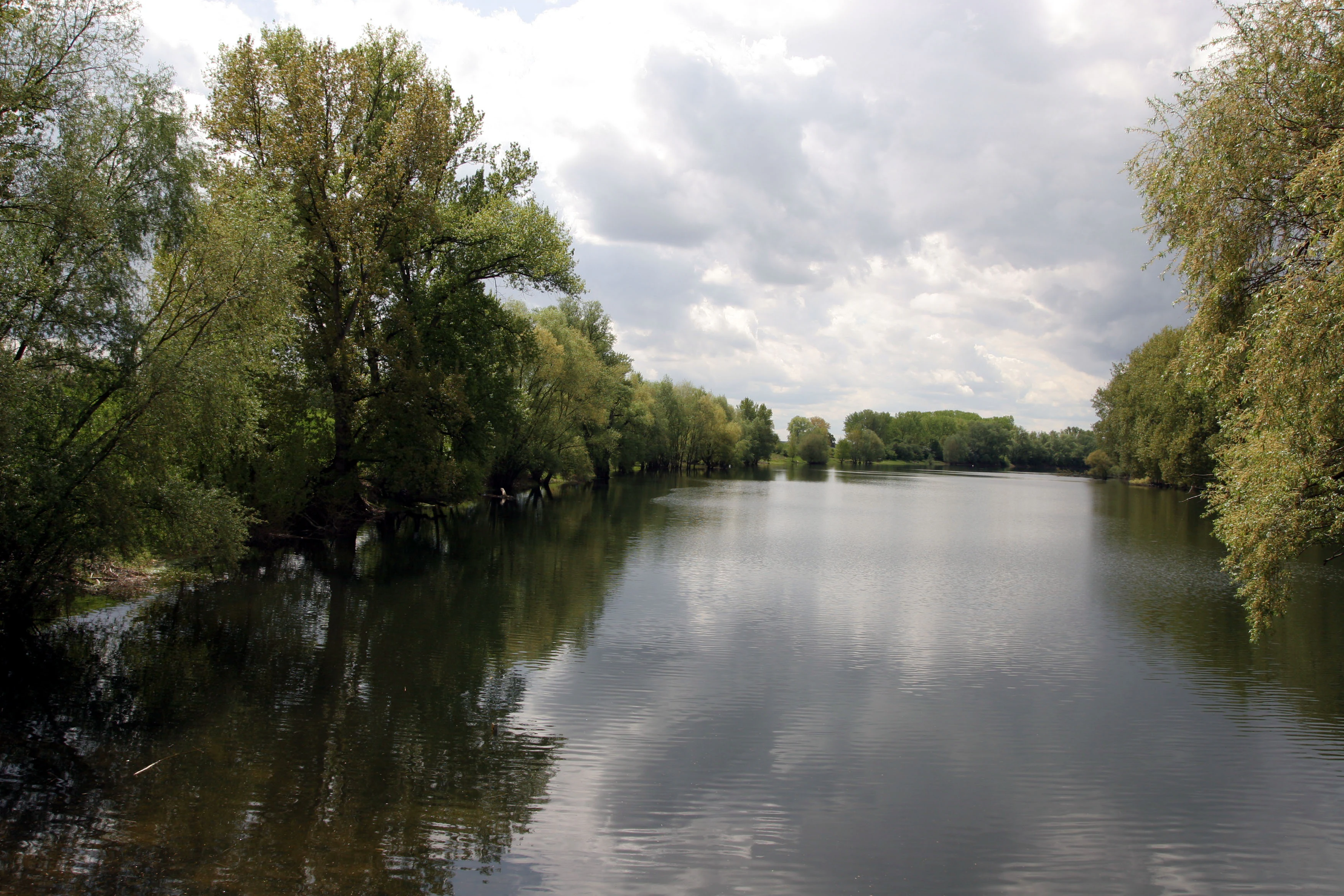
A calm river channel winding through a lush, green riparian forest under a cloudy sky.
A peaceful view of the Altrhein river branch in the Lampertheimer Altrhein nature reserve.

Naturschutzgebiet Lampertheimer Altrhein ecosystems, habitats, and plant life

Ecologically, the reserve belongs to the classic floodplain and oxbow habitat complex of the Upper Rhine. Its mosaic of standing water, reedbeds, wet meadows, and softwood floodplain woodland corresponds to typical Habitats Directive habitat types found in protected areas along the Rhine, and this alignment is exactly why the area is included in the Natura 2000 network under the same boundaries as its national protection status.

The combination of shallow, nutrient-rich standing water and adjacent grasslands is particularly favorable for waterbird and meadowbird species. Reed zones and aquatic vegetation around the Welsche Loch and Fretter Loch offer breeding cover and feeding grounds, while the surrounding wet meadows and floodplain grasslands provide open habitat for species that depend on soft, moist ground. The slightly elevated, drier sections of the reserve support patches of floodplain forest that further diversify the habitat structure.

For conservation planning, the crux is that the habitats here are not relics but are actively shaped by the interaction of an old river arm, the current Rhine channel, seasonal flooding, and management. That dynamic is what has allowed such ecological richness to develop in a landscape that was, in the 19th century, fundamentally engineered by humans.
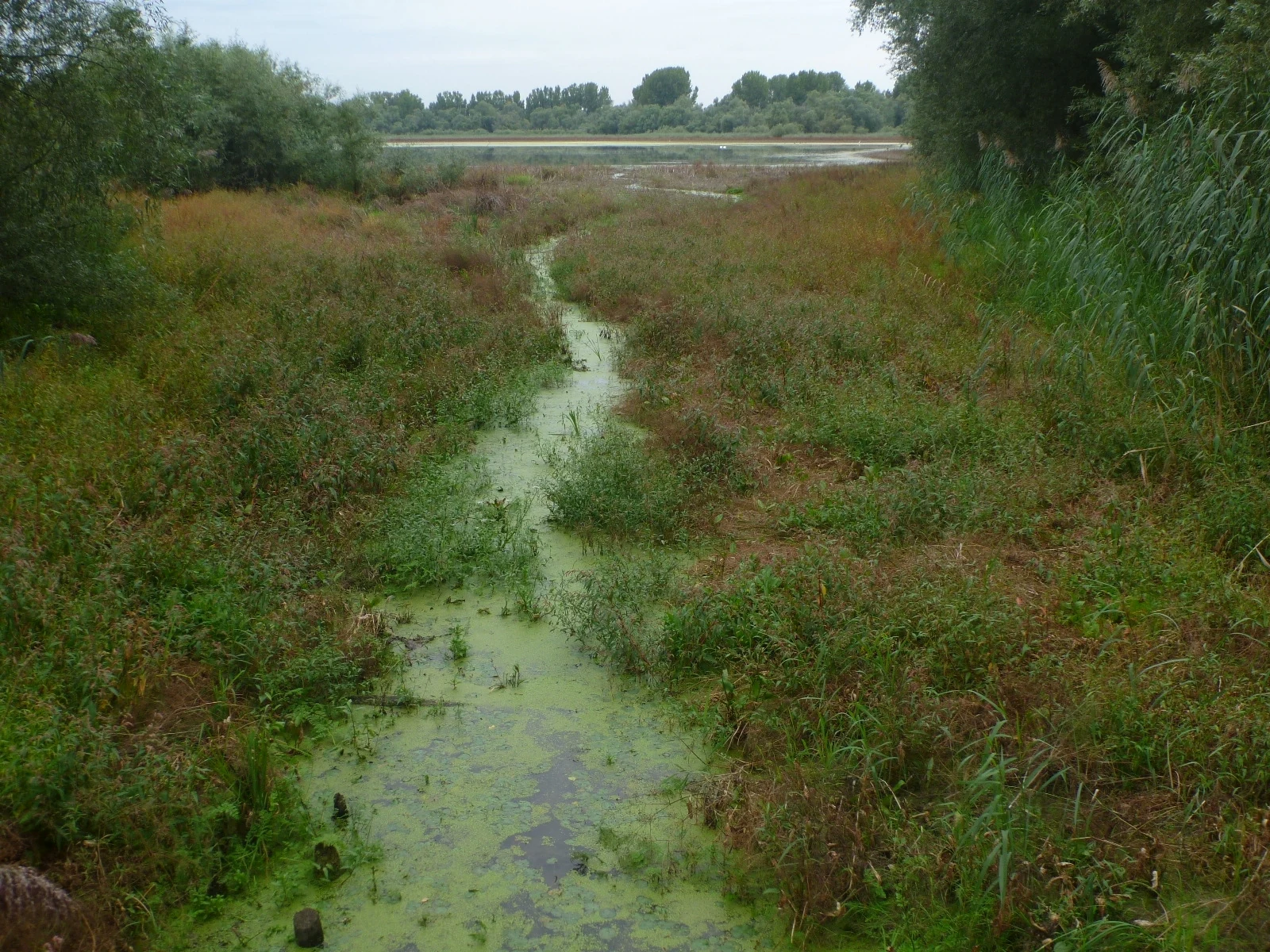
A narrow channel of algae-covered water cuts through a lush wetland meadow leading towards a larger body of water in the distance under an overcast sky.
View of the Welsche Loch area from the footbridge in the Lampertheimer Altrhein nature reserve.

Naturschutzgebiet Lampertheimer Altrhein wildlife and species highlights

The reserve's most prominent ecological identity is as a breeding and staging area for waterbirds. Because the abandoned Rhine loop is largely undisturbed and the adjacent land use remains predominantly grassland or wetland, the area supports many bird species, several of which are considered threatened across Hesse and Germany as a whole.

One of its signature features is a cormorant colony established at the Welsche Loch, which has become a notable component of the reserve's identity. Beyond that, the mix of open water, reeds, and meadows makes the area meaningful for a broader community of breeding waders, waterfowl, and reedbed specialists. The Biedensand and Bonnaue components contribute different conditions, with the grassland zones adding value for meadow-breeding species alongside the lake-based bird community.

Although the source material stresses birds as the most conspicuous wildlife element, the broader mosaic of reeds, wet meadows, softwood forest, and open water also supports typical Rhine floodplain fauna more generally. The site's significance for birdlife, however, is what anchors its international protection status as an EU Bird Protection Area.

Naturschutzgebiet Lampertheimer Altrhein conservation status and protection priorities

The conservation significance of the reserve operates at multiple administrative levels at once. Nationally, it has been a Naturschutzgebiet since 13 August 1937, one of the older formal nature reserves in Hesse. European-level recognition comes through the Natura 2000 network, where the entire area is simultaneously a Habitats Directive site (FFH-Gebiet) and an EU Bird Protection Area, both using the code DE-6316_401.

This double designation is meaningful: it means that the boundaries used for national protection are the same as those used for European protection, simplifying management and reinforcing the importance of the area as a coherent ecological unit. Internationally, the reserve's IUCN category is IV, corresponding to a Habitat and Species Management Area, which acknowledges that the value of the area depends on ongoing management of water levels, meadows, and reedbeds rather than being left entirely to its own dynamics.

Beyond designations, the conservation narrative of the area is closely tied to the legacy of Tulla's Rhine straightening: a 19th century river engineering project inadvertently created the very conditions that, a century and a half later, would support an exceptionally diverse wetland ecosystem. Recent concerns about falling water levels in the old Rhine arm show that the future of this conservation value will depend on careful management of water regimes, possibly including dredging of the abandoned channel to maintain the shallow lake conditions on which the site's birdlife depends.

Naturschutzgebiet Lampertheimer Altrhein cultural meaning and human context

The reserve is closely bound to the broader cultural history of Rhine engineering and Rhineland floodplain landscapes. The 1870s cut at Lampertheim was part of the wider Upper Rhine correction led by Johann Gottfried Tulla, an act of large-scale landscape transformation that, ironically, also created a new kind of cultural landscape: the old Rhine arm itself.

Local memory has attached human stories to this engineered landscape. Johann Welsch, the Nackenheim boatman who first passed through the new channel, gave his name to the Welsche Loch lake, the largest waterbody in the reserve. Earlier, in 1354, written descriptions of the river still recorded the islands Büdensand and Langen Zeil, showing that this landscape has been noticed, named, and used for at least seven centuries.

In the early 20th century, ecological awareness of the area grew alongside formal nature conservation in Germany. By 1926, parts of the old Rhine arm were already protected by police ordinance, and by 1937 the area as a whole had been formally designated. Today the reserve is also tied to the regional identity of Lampertheim and the Hessian Rhine plain, functioning simultaneously as a working floodplain landscape, a refuge for wildlife, and a reminder of how dramatically the Rhine has been reshaped over the past 150 years.

Top sights and standout views in Naturschutzgebiet Lampertheimer Altrhein

The reserve combines historical and ecological significance in a compact area roughly 516 hectares in size. Its most distinctive highlights are the former Rhine meander itself, the shallow Welsche Loch and Fretter Loch oxbow lakes, the Biedensand island complex, and the Bonnaue grassland floodplain, all of which together support an unusually rich wetland habitat mosaic.

Equally distinctive is the reserve's standing in the European conservation network: it carries identical boundaries for its national nature reserve status, its Habitats Directive designation, and its EU Bird Protection Area, all under the code DE-6316_401. That stacked recognition places it among the most consistently valued single-site floodplain reserves in Hesse, second only in regional importance to the much larger Kühkopf-Knoblochsaue further north along the Hessian Rhine.

Best time to visit Naturschutzgebiet Lampertheimer Altrhein

As a wetland-dominated reserve with extensive reedbeds, open water, and meadows, the Lampertheimer Altrhein has a seasonal character that shifts mainly with bird activity and water conditions. Late spring into early summer typically brings the most active breeding bird displays, when waterfowl, reedbed species, and meadow-nesting species are at their most conspicuous. Outside the breeding season, the open water and wet meadows remain attractive for waterbirds and passing migrants.

Weather can strongly influence the feel of a visit: in warmer months, parts of the area can be muggy because of the dense reeds and shallow standing water, while in cooler seasons the same conditions make for more comfortable walking and clearer viewing. Visitors interested in the cormorant colony at the Welsche Loch and in the broader breeding bird community will generally find the late spring and early summer period the most rewarding, while those interested in the landscape as a whole can find the reedbed scenery evocative across much of the year.

Monthly climate preview

Long-term temperature ranges and monthly precipitation patterns sampled at representative park coordinates

Naturschutzgebiet Lampertheimer Altrhein Annual Climate Normals and Weather by Month

Historical climate data for Naturschutzgebiet Lampertheimer Altrhein records average monthly temperatures from near freezing up to twenty degrees Celsius alongside steady precipitation. Examining the complete twelve-month record reveals detailed shifts in temperature extremes and precipitation distribution across the protected area.
Annual mean10 °C
0 °C20 °C
Jan
Feb
Mar
Apr
May14°
Jun18°
Jul20°
Aug20°
Sep15°
Oct10°
Nov
Dec
Warmest month
July

20.4 °C

Coolest month
January

0.3 °C

Wettest month
July

2.2 mm/day

Driest month
April

1.4 mm/day

Park location guide

Geography guide, regional context, and park location map for Naturschutzgebiet Lampertheimer Altrhein

Naturschutzgebiet Lampertheimer Altrhein park geography, regions, and map view in Germany

Understand where Naturschutzgebiet Lampertheimer Altrhein sits in Germany through a broader geographic reading of the surrounding landscape, nearby location context, and its mapped position within the national park landscape.

How Naturschutzgebiet Lampertheimer Altrhein fits into Germany

Germany is a federal republic in Western and Central Europe with a population of over 83 million across sixteen constituent states. It is Europe's largest economy by nominal GDP and a major global exporter and importer. The capital is Berlin, and the country borders Denmark, Poland, Czech Republic, Austria, Switzerland, France, Luxembourg, Belgium, and the Netherlands.

Wider geography shaping Naturschutzgebiet Lampertheimer Altrhein in Germany

Germany is located in Western and Central Europe, spanning 357,022 km². It borders Denmark to the north, Poland and the Czech Republic to the east, Austria and Switzerland to the south, and France, Luxembourg, Belgium, and the Netherlands to the west. The country has coastlines on the Baltic Sea and North Sea to the north, with the Alps located in the southern region.

Map view of Naturschutzgebiet Lampertheimer Altrhein

Use this park location map to pinpoint Naturschutzgebiet Lampertheimer Altrhein in Germany, understand its exact geographic position, and read its mapped placement within the surrounding landscape more clearly.

Pigeon | © OpenStreetMap contributors

Location context for Naturschutzgebiet Lampertheimer Altrhein

Hessen

Visual reference collection showcasing old Rhine oxbow lakes, wet meadows, and floodplain habitats

Naturschutzgebiet Lampertheimer Altrhein Photos and Protected Landscape Scenery

Visual documentation captures the oxbow lakes, wet grasslands, and riverine forests defining Naturschutzgebiet Lampertheimer Altrhein. Examining these habitats and floodplain formations provides clearer insight into the ecological character of the protected reserve.

A wide view of a grassy meadow filled with yellow and white wildflowers, with scattered trees in the background under a clear sky.

A calm river reflects a line of trees with vibrant yellow and green autumn leaves under an overcast sky.

A calm river channel winding through a lush, green riparian forest under a cloudy sky.

A narrow channel of algae-covered water cuts through a lush wetland meadow leading towards a larger body of water in the distance under an overcast sky.

Park atlas

Compare regional protected areas, floodplain habitats, and neighboring river landscapes.

Explore Parks Near Naturschutzgebiet Lampertheimer Altrhein and Surrounding Wetland Reserves

Compare Naturschutzgebiet Lampertheimer Altrhein with other protected areas across the surrounding region. Review neighboring wetland reserves, riverine forests, and connected floodplain landscapes in central Germany.
Nature reserveRhineland-Palatinate
About 3.8 km away#1 closest

West

Wormser Ried Nature Reserve: Mapped Landscape and Protected Area Context

A wetland mosaic in the Rhineland-Palatinate floodplain

Situated in the southern periphery of Worms, the Wormser Ried is a compact, embanked nature reserve defined by its history as an industrial settling area. The site represents a distinct, internally managed wetland system comprising ponds, reed belts, and softwood alluvial forest fragments that support regional biodiversity within an otherwise developed landscape.

Area
0.353 km²
Established
1968
Relief
Lowland
Climate
Temperate
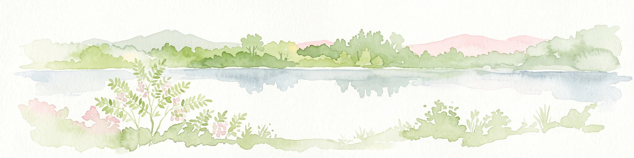
A horizontal watercolor painting showing a soft green landscape with meadows, low-lying trees, and distant hills under a light sky.
Nature reserveHesse
About 10 km away#2 closest

North

Lochwiesen von Biblis Nature Reserve: Geographic Overview and Protected Landscape Mapping

Rhine valley meadow conservation in the Hessisches Ried of southern Hesse.

Lochwiesen von Biblis serves as a protected sanctuary for riverine ecosystems in the Upper Rhine lowlands. This nature reserve provides essential habitat for lowland meadows and wet grassland species, offering a window into the natural floodplain dynamics that once defined the entire Hessian Rhine corridor. Explore the structural boundaries of this conservation area and its place in the larger regional landscape.

Area
0.511 km²
Established
1992
IUCN
IV
A horizontal watercolor painting showing a calm lake or pond surrounded by green trees and shrubs against a soft, light background.
Nature reserveHesse
About 11 km away#3 closest

Southeast

Oberlücke von Viernheim Nature Reserve: Mapped Wetland Landscapes in Hesse, Germany

A protected quarry lake refuge for waterbirds and amphibians

The Oberlücke von Viernheim nature reserve represents a significant successional habitat within the Hessian Ried. Formed from an abandoned sand and gravel quarry, its five-hectare water body and surrounding riparian margins serve as a critical wetland sanctuary. This protected area highlights the intersection of industrial legacy and ecological recovery, functioning as a key node for local wildlife in the dense landscape of western Germany.

Area
0.129 km²
Established
1985
IUCN
IV
Relief
Lowland
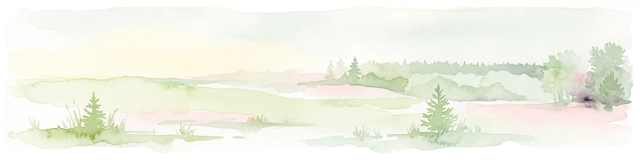
A watercolor-style illustration of a soft, grassy landscape featuring sparse coniferous trees and a gently rolling, light-colored horizon.
Nature reserveHessen
About 12 km away#4 closest

Southeast

Glockenbuckel von Viernheim: Mapping the Protected Dunes of Hessen

Nature reserve featuring dry grassland and inland sand biotopes

Located in the Bergstrasse district, Glockenbuckel von Viernheim is a protected area preserving rare inland sand dune landscapes. The site features nutrient-poor sandy soils and open grassland patches maintained for specialized species, reflecting an unusual conservation history born from former military training grounds within the Upper Rhine plain.

Area
0.411 km²
Established
1998
IUCN
IV
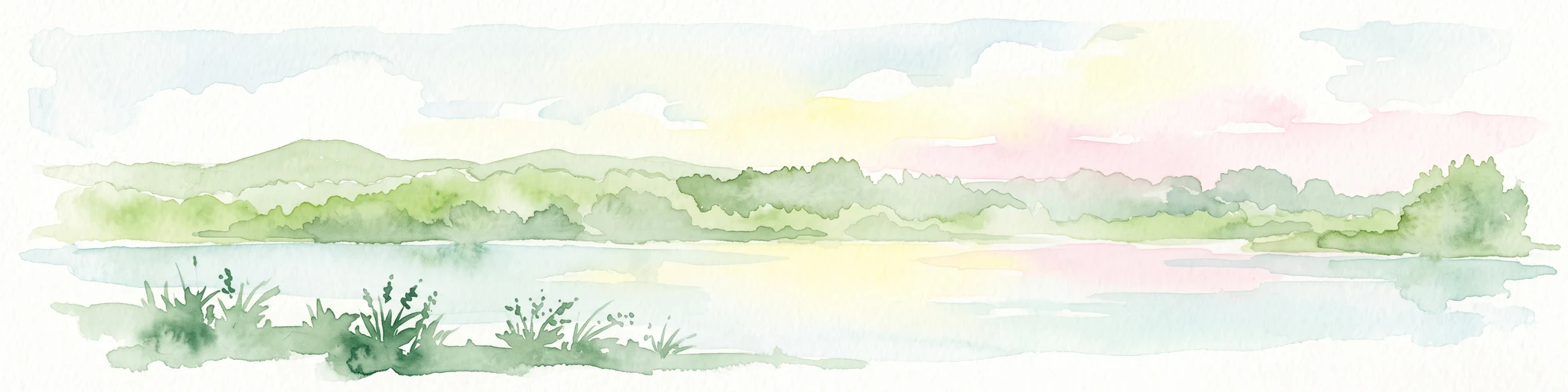
A soft-focus watercolor painting of a wetland scene showing a calm body of water with reeds in the foreground and a tree-lined horizon under a pastel sky.
Nature reserveHessen
About 13 km away#5 closest

Northeast

Erlache bei Bensheim: Exploring Protected Wetlands and Altneckar Landscapes in Hessen

A distinct nature reserve and bird sanctuary site

The Erlache bei Bensheim nature reserve serves as a critical wetland corridor in the Hessian Rhine plain. This area features a former loop of the River Neckar, now characterized by alder swamp forest, reedbeds, and open water, creating a highly specific ecological terrain surrounded by the regional infrastructure of the Bergstraße district.

Area
0.49 km²
Established
2000
IUCN
IV
Relief
Lowland
A soft, light watercolor painting of a rolling rural landscape featuring rows of vineyards in the foreground and tree-covered hills in the distance.
Nature reserveRheinland-Pfalz
About 13 km away#6 closest

Southwest

Haardtrand Nature Reserve: Geographic Overview and Protected Landscape Mapping

Bird protection area within the Rheinland-Pfalz region.

Spanning roughly 14,700 hectares, Haardtrand serves as a critical link between the Palatinate Forest and the Rhine valley. This nature reserve is composed of a distinctive mosaic of habitat types, including mature broadleaf woodlands, traditional orchard meadows, and sandy terraces, which together create a highly structured environment for diverse raptors and forest-dwelling bird species.

Area
147.28 km²
Established
2004
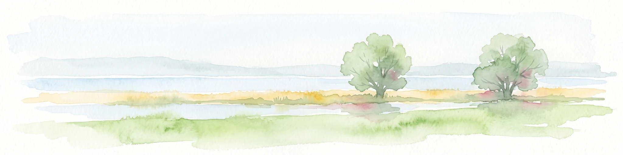
A horizontal watercolor painting showing a soft, light-filled wetland scene with grassy banks, two small trees, and a calm waterway under a bright, hazy sky.
Nature reserveRhineland-Palatinate
About 14 km away#7 closest

North

Naturschutzgebiet Der Spieß An der Spießbrücke Nature Reserve and Wetland Atlas Geography

Protected floodplain habitat in the Rhineland-Palatinate region

This nature reserve protects a vital 9-hectare wetland mosaic near Worms, Germany, featuring an old Rhine arm known as the Altrhein. The site functions as a key resting area for rare bird species, characterized by its reedbeds, wet meadows, and ongoing integration into larger regional floodplain restoration initiatives throughout the Upper Rhine basin.

Area
0.093 km²
Established
1985
Relief
Lowland
Scope
Terrestrial
A soft watercolor illustration depicting a marshy wetland with rolling hills, trees, and tall grasses in a muted, pastel color palette.
Nature reserveHessen
About 15 km away#8 closest

Southeast

Neuzenlache von Viernheim Nature Reserve: Geographic Overview and Protected Landscape Mapping

A rare remnant of an ancient Neckar river arm in Hessen

Neuzenlache von Viernheim offers a focused look at small-scale conservation within the Upper Rhine Plain. This nature reserve provides valuable insight into the transformation of historical river landscapes, featuring a complex of reedbeds and exotic bald cypress trees that mark its unique cultural and natural heritage.

Area
0.091 km²
Established
1990
IUCN
IV
Relief
Lowland

Common questions about visiting, size, designation, and location context for Naturschutzgebiet Lampertheimer Altrhein

Naturschutzgebiet Lampertheimer Altrhein FAQs for park facts, access, geography, and protected area context

Find quick answers about Naturschutzgebiet Lampertheimer Altrhein, including protected-area facts, park geography, trail and visitor context, and how the park fits into its surrounding country and regional landscape.
MoriAtlas Explorer

Continue Your Protected Areas Search Across the Global Atlas

Deepen your exploration by continuing the structured search for national parks and protected areas worldwide. Utilize the comprehensive filtering capabilities to compare different conservation landscapes and refine your understanding of global park geography. Discover more about the distribution and characteristics of protected natural areas.

Global natural geography