

Why Lange Rhön stands out
Lange Rhön is best known as the central basalt spine of the Rhön highlands, dominated by a long, gently sloped plateau shaped by volcanic geology and centuries of grazing. It is also recognized for the Schwarzes Moor, one of the most significant raised bogs in the region, and for its role as a key protected area within the Rhön Biosphere Reserve. The combination of treeless highland meadows, basalt geology, and isolated bog systems gives it a distinct open-land character uncommon elsewhere in the German Mittelgebirge.
Lange Rhön history and protected-area timeline
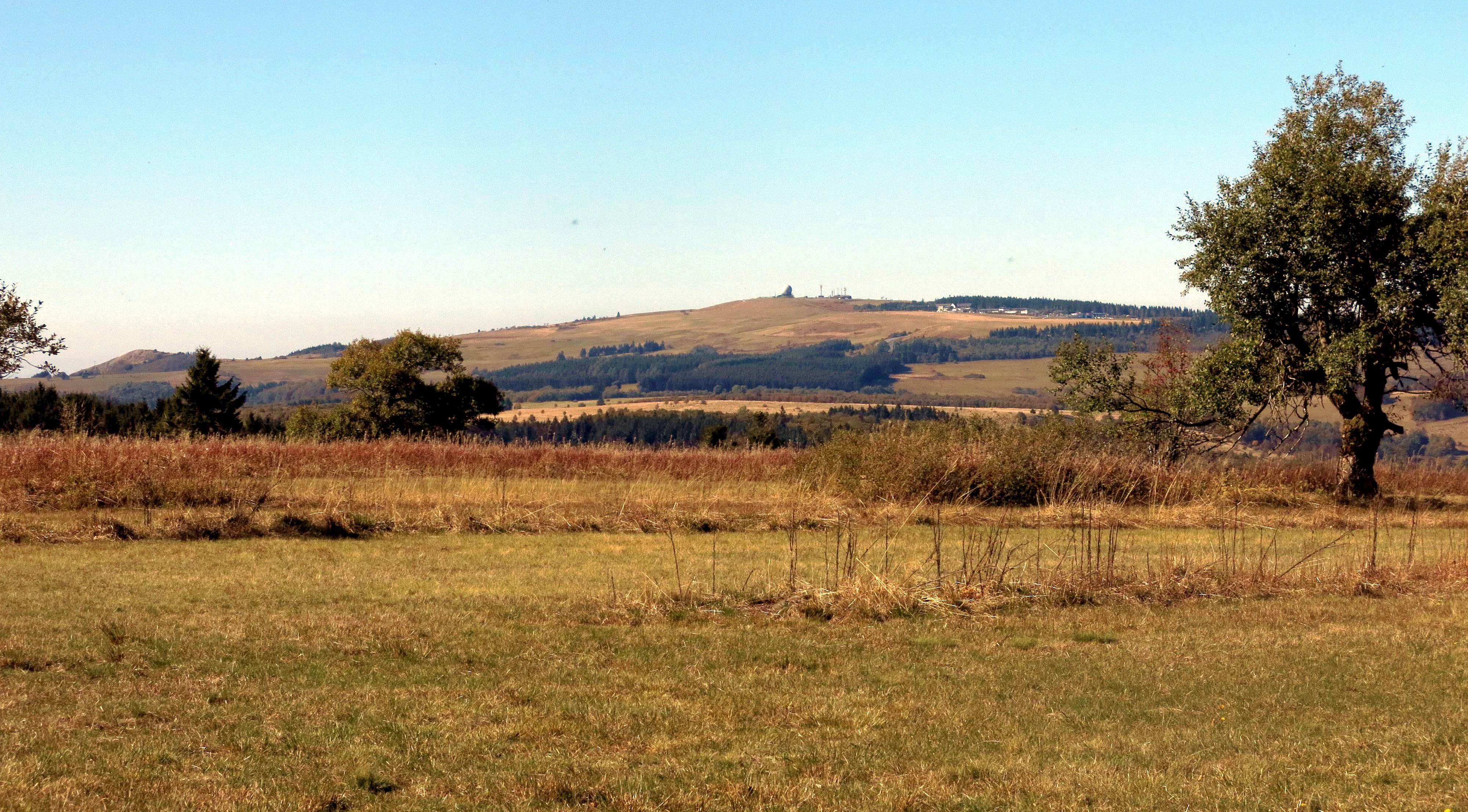
The landscape of the Lange Rhön was profoundly shaped by human activity over many centuries. Through repeated clearance and grazing, the originally forested basalt plateau was gradually transformed into the open, treeless highland meadow country that characterizes it today. This process continued for so long that by the early nineteenth century the area was already widely recognized as a cultural landscape rather than a wild one.
Reforestation efforts began only in 1815, marking an early awareness that the long history of woodland removal had consequences for soil and water. Today the majority of the land surface still falls under agricultural use, with meadows and pastures dominating the plateau itself rather than returning to forest. The protection status of the area was formalized later with the designation of the Naturschutzgebiet Lange Rhön, and the area was incorporated into the Rhön Biosphere Reserve, placing it within Germany's network of large-scale conservation landscapes.
Lange Rhön landscape and geographic character
The defining feature of the Lange Rhön is its long, narrow basalt plateau, oriented roughly north to south and averaging around 800 meters in elevation. Because the bedrock is basalt, slopes are unusually gentle, typically below six degrees, except where solifluction has piled debris into steeper terrain. The plateau has the form of a ridge rather than a true summit cluster, and its outline shows clearly in the long views from neighboring peaks like the Wasserkuppe.
The eastern edge of the plateau, the Ostabfall der Langen Rhön, is the most dramatic topographic break, dropping in places into narrow valleys and wooded gorges. The Schwarzes Moor lies along the northern edge of the area, a roughly 60 hectare raised bog that introduces a flat, waterlogged contrast to the otherwise rolling upland scenery. The western approach to the plateau runs down toward the Obere Ulstertal along roughly the 600 meter contour, marking a clear transition between the high Rhön and the valleys to the west.
Lange Rhön ecosystems, habitats, and plant life
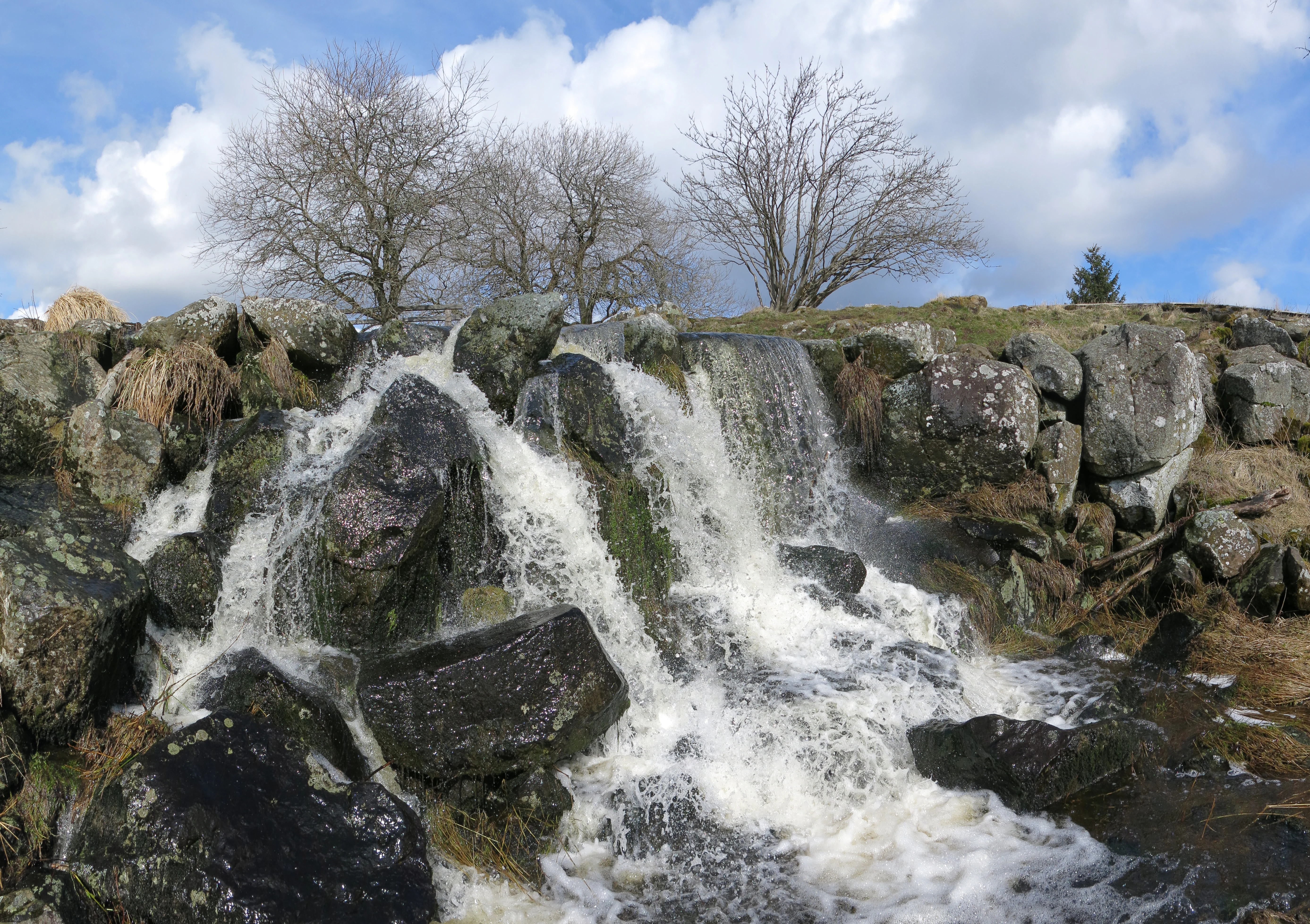
Ecologically the Lange Rhön is dominated by open grassland and bog habitats set against fragments of woodland and scrub. The centuries of grazing pressure produced the characteristic mix of nutrient-poor to moderately rich meadows that now define the plateau surface, with a wide range of grassland types reflecting local soils and moisture conditions. Bog vegetation around the Schwarzes Moor adds a distinct wetland element to an otherwise dry upland.
Forest cover is limited and largely concentrated on the steeper slopes and on the broad eastern falls of the plateau. Soils vary substantially across short distances, from well-drained brown earths and rankers on the basalt ridges to poorly drained pseudogleys and gley soils in seepage zones. The combination of cool, wet upland climate and the area's position as a natural crossroads between Hesse, Bavaria, and Thuringia has helped preserve a habitat mosaic that is unusual in the German central uplands.
Lange Rhön wildlife and species highlights
The Lange Rhön is widely recognized as an important area for meadow-breeding birds, an ecological role closely linked to the persistence of its open grassland character. The combination of high-elevation pastures, bog margins around the Schwarzes Moor, and isolation across the tri-state border region has given the area particular value for species associated with traditional open countryside rather than intensively used farmland. Local conservation efforts within the Naturschutzgebiet and the Rhön Biosphere Reserve focus strongly on maintaining these habitat conditions. Specific species inventories are not documented in the present source material, so detailed lists are not reproduced here.
Lange Rhön conservation status and protection priorities
Conservation significance in the Lange Rhön centers on the formal protection of the plateau as the Naturschutzgebiet Lange Rhön, which encompasses most of the natural area. This designation provides the basic legal framework for protecting the basalt plateau meadows, the raised bog of the Schwarzes Moor, and the woodland remnants along the eastern escarpment. The area is further embedded in the Rhön Biosphere Reserve, giving it both national-level protection and a broader role within a large UNESCO-recognized cultural and ecological landscape.
The conservation profile of the Lange Rhön is closely tied to the tension between traditional land use and habitat protection. Because the open character of the plateau is itself a product of centuries of grazing, continued low-intensity agricultural use is effectively part of the conservation strategy. The area's position at the meeting point of three German states adds an additional layer of cross-border coordination in managing grassland, bog, and forest habitats together.
Lange Rhön cultural meaning and human context
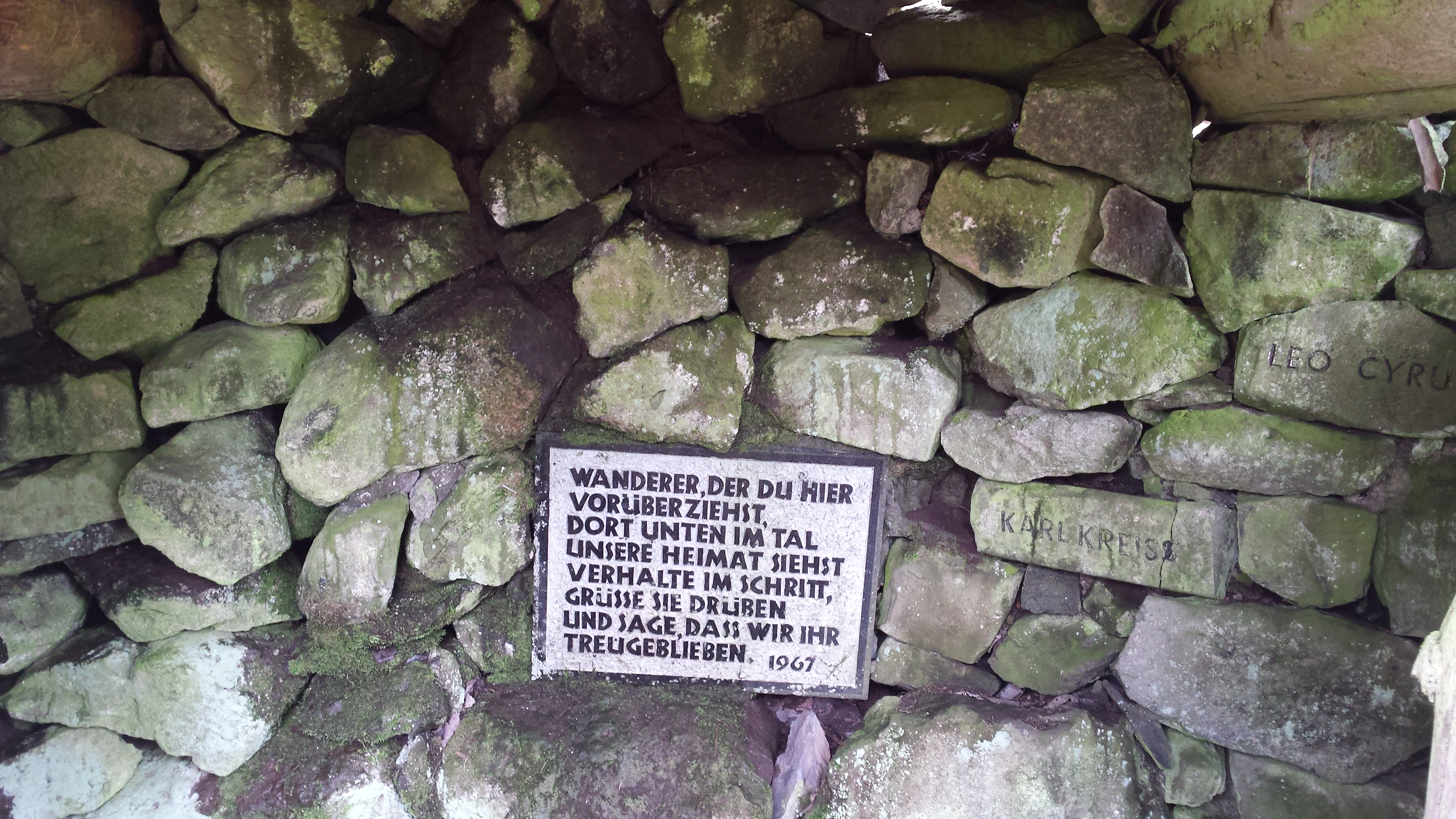
The Lange Rhön lies in one of Germany's classic tri-border landscapes, where Hesse, Bavaria, and Thuringia meet near the Hessisch-Thüringisches Dreieck. Small communities such as Frankenheim, Oberweid, Kaltenwestheim, Hilders, and Oberelsbach have long histories tied to upland grazing and dairy farming rather than to forest industries. Local walking and heritage culture is closely linked to the Rhönklub, a regional association that maintains huts, viewing points, and memorial sites on the plateau, including the Heimatblick memorial near the Rhönkopf commemorating refugees from the former East Germany.
A landscape shaped by deliberate deforestation over many centuries and only partially reforested since 1815, the Lange Rhön is read locally as a cultural landscape as much as a natural one. This cultural framing is part of why the area is managed within the Rhön Biosphere Reserve model, which explicitly recognizes the interplay of human land use and ecological value.
Top sights and standout views in Lange Rhön
The Lange Rhön combines a long basalt plateau ridge, an extensive highland meadow landscape, and the significant raised bog of the Schwarzes Moor into a single protected unit. Its position at the meeting point of Hesse, Bavaria, and Thuringia, together with its role as the core of the Rhön Biosphere Reserve, gives it unusually strong conservation credentials. The area is closely identified with meadow-breeding bird conservation and with the rare open upland character that defines the Rhön highlands.
Best time to visit Lange Rhön
The Lange Rhön has a cool upland climate with substantial precipitation, around 940 mm per year in the reference village of Frankenheim, and about 125 days of fog annually. Summer months are the most rewarding for meadow landscapes, wildflowers, and bird activity on the open plateau, when grasses are at their richest and visibility between peaks is at its best. Spring and early summer are favorable for observing breeding bird behavior in the meadows. Late autumn and winter bring a colder, often fog-enshrouded atmosphere over the plateau and may limit views, though they also emphasize the open, treeless character of the basalt ridge when snow lies on the high meadows.
