Mori Atlas logo
Nature reserveLanghöll-Falkenberg

Understanding the mapped terrain, habitat mosaic, and valley geography of this North Palatine protected area.

Langhöll-Falkenberg Nature Reserve: A Detailed Geographic Atlas and Protected Landscape Overview

(Naturschutzgebiet Langhöll-Falkenberg)

Langhöll-Falkenberg encompasses a compact protected area within the Donnersbergkreis district of western Germany. This nature reserve preserves a significant ecological gradient, transitioning from warm, dry hilltop grasslands and traditional orchard meadows down to humid, spring-fed wetlands and deciduous forest patches in the Alsenz valley. By analyzing the site boundaries and terrain, users can observe the structural variety of this managed habitat mosaic within the broader North Palatine uplands.

nature reserveNordpfälzer BerglandAlsenz valleysemi-dry grasslandorchard meadowsdeciduous forest

Langhöll-Falkenberg

Nature reserve

Park overview

Structured park overview, official facts, and landscape profile for Langhöll-Falkenberg

Langhöll-Falkenberg park facts, protected area profile, and essential visitor context

Review the core facts for Langhöll-Falkenberg, including designation, size, terrain, visitor scale, habitats, and operating context in one park-focused overview.

About Langhöll-Falkenberg

Langhöll-Falkenberg is a protected nature reserve in the Donnersbergkreis district of Rhineland-Palatinate, Germany, situated within the North Palatine Bergland, a hilly low-mountain landscape in the western part of the country. Officially placed under nature protection in 1999, the reserve covers about 100 hectares and is one of several small but ecologically meaningful protected areas managed within the district.

Geographically, the reserve occupies the southwestern slope known locally as the Langhell, along with a secondary hilltop called Falkenberg (around 282 meters elevation) on the larger Spannagel hill (about 357 meters). It then extends southward to include parts of the Talergraben, a small watercourse that flows westward into the Alsenz river. This positioning on a single slope and adjoining valley creates an unusually compressed ecological gradient within a small area.

From an ecological standpoint, the reserve's value lies in the way it conserves a near-complete transition from warm, open, dry habitats to moist, sheltered, valley-bottom habitats all within one protected unit. Semi-dry grassland, orchard meadows, dry scrub, deciduous woodland, and spring-fed wetland communities coexist across short distances. Because multiple habitat types are protected together rather than just a single feature, Langhöll-Falkenberg functions as a habitat and species management area under IUCN Category IV classification, supporting both typical regional biodiversity and habitat connectivity along the Alsenz valley.

Quick facts and research context for Langhöll-Falkenberg

Langhöll-Falkenberg is a German nature reserve (Naturschutzgebiet) located in the Donnersbergkreis district of Rhineland-Palatinate. It lies within the North Palatine uplands, southeast of the town of Alsenz, on the southwestern slope of the Spannagel hill and along a stretch of the Alsenz river valley.

The reserve covers roughly 100 hectares and was officially placed under protection in 1999. It is recorded under the federal identifier 7333-199, listed in the World Database on Protected Areas with WDPA ID 318712, and is classified as an IUCN Category IV habitat and species management area. Federal highway B 48 passes through the Alsenz valley, while state roads L 403 and L 400 border parts of the reserve to the north and east.

Protection and recognition

Examine documented protected area records and international recognition data for Langhöll-Falkenberg.

Langhöll-Falkenberg Protection Status and Conservation Recognition

Langhöll-Falkenberg conservation records compile verified protection metrics and administrative boundaries into a single reference view. Researchers can evaluate official protected area documentation alongside baseline registry entries for this natural landscape.

Protection details

WDPA ID
318712
Park context

Deeper park guide and search-rich context for Langhöll-Falkenberg

Langhöll-Falkenberg history, landscape, wildlife, and travel context

Explore Langhöll-Falkenberg through its history, landscape character, ecosystems, wildlife, conservation priorities, cultural context, and seasonal travel timing in a structured park guide built for atlas discovery and search intent.

Why Langhöll-Falkenberg stands out

Langhöll-Falkenberg is best known for its compact but ecologically varied mosaic of warm dry grasslands, old orchards, and near-natural forest patches, paired with spring-fed wetland habitats within the same small protected area. This combination of dry upland and moist valley-bottom habitats on a single slope makes it a representative example of habitat diversity in the Alsenz valley. The reserve is also notable for protecting structural variety in what is otherwise a strongly modified agricultural and forested region of the North Palatine uplands. Its protected habitats include semi-dry grassland (Halbtrockenrasen), species-rich meadows and pastures, Streuobst orchards, dry shrubs, deciduous woodland with areas left to natural development, and small spring mires with alder carr, reedbeds, and sedge fen communities.

Langhöll-Falkenberg history and protected-area timeline

Langhöll-Falkenberg was formally designated as a Naturschutzgebiet (nature reserve) in 1999, following a legal ordinance issued for the Donnersbergkreis district of Rhineland-Palatinate. The designation came as part of regional efforts to safeguard ecologically valuable slope and valley habitats that would otherwise have been at risk from changing agricultural use and forestry intensification.

The reserve's establishment recognized both the dry open-landscape habitats of the slope and the small springs and streams in the lower part of the Alsenz valley. Since its designation, the area has been managed to maintain its mosaic of semi-dry grasslands, orchard meadows, scrub, woodland, and spring-fed wetland communities, with portions of the forest left to develop naturally.

Langhöll-Falkenberg landscape and geographic character

The landscape of Langhöll-Falkenberg consists of a steep, southwest-facing slope within the North Palatine uplands, transitioning from the open and warm upper hill area down toward the cooler, more humid Alsenz valley floor. The terrain is shaped by the Spannagel hill, with the smaller Falkenberg summit (around 282 meters) forming a notable local high point within the reserve.

The protected area includes parts of the wooded hill slopes as well as open pastoral and orchard areas higher up, and it reaches down into the small valley of the Talergraben, which flows westward into the Alsenz river. Nearby, the Alsenz valley hosts the B 48 federal highway, while the L 403 and L 400 state roads border the reserve on its northern and eastern sides, indicating the area's setting within a traditionally agricultural and accessible low-mountain valley.

Langhöll-Falkenberg ecosystems, habitats, and plant life

Ecologically, Langhöll-Falkenberg protects a tightly compressed mosaic of contrasting habitats that together cover much of the characteristic natural variety of the lower Alsenz valley. On the southwestern slope of the Spannagel, the reserve safeguards open landscapes with semi-dry grasslands (Halbtrockenrasen), species-rich meadows and pastures, traditional Streuobst orchards, dry scrub, and scattered groups of trees and shrubs.

On its lower and more sheltered side, near springs and along the Talergraben, the reserve includes near-natural water-related habitats. These comprise source springs, small wetland areas, alder carr (Bruchwald), reedbeds (Röhricht), sedge fen communities (Seggenrieder), and extensively used grassland. Between these contrasting zones, near-natural stands of site-native deciduous forest persist, in some cases with sections deliberately left to develop with minimal human intervention.

Langhöll-Falkenberg wildlife and species highlights

The wildlife significance of Langhöll-Falkenberg is closely tied to its habitat diversity. The combination of dry open grasslands, scrub, and old orchards provides important conditions for grassland and hedgerow species typical of warm low-mountain slopes in the Palatinate, including insects associated with semi-dry grassland habitats and birds that favor orchard and pasture-edge environments.

At the same time, the spring-fed wetland areas, alder carr, and small stream habitat provide refuge for amphibians, wetland invertebrates, and moisture-dependent plant communities. The presence of buffer zones between forest and open land also supports forest-edge species, making the reserve a compact but functionally varied habitat mosaic for typical regional wildlife rather than a single-species stronghold.

Langhöll-Falkenberg conservation status and protection priorities

Conservation significance at Langhöll-Falkenberg is rooted in the reserve's role as one of the principal habitat areas for wild plant and animal life along the Alsenz valley. By combining dry, warm, open-land habitats with near-natural forest and small wetland complexes, the reserve protects ecological transitions that are increasingly rare in landscapes shaped by intensive agriculture and forestry.

The legal designation explicitly aims to maintain and develop structurally rich open-land areas, site-native deciduous woodland with areas left to natural development, and near-natural spring and stream habitats with alder carr, reedbeds, sedge fen, and extensive grassland. Classified as an IUCN Category IV habitat and species management area, the reserve prioritizes active habitat management alongside protection, reflecting its small size and its need for continued ecological intervention to maintain the diversity of communities that define it.

Langhöll-Falkenberg cultural meaning and human context

The cultural context of Langhöll-Falkenberg is closely linked to traditional rural land use in the North Palatine uplands. The presence of Streuobst orchards, species-rich meadows, and pastures reflects a long-standing pattern of small-scale, mixed agricultural use typical of Palatinate valley slopes.

Top sights and standout views in Langhöll-Falkenberg

Langhöll-Falkenberg stands out for protecting a complete ecological gradient, from warm, dry hilltop meadows and orchards down to spring-fed wetlands and alder carr, all within about 100 hectares. Its inclusion of both actively managed open-land habitats and forest sections left to natural development reflects a balanced approach to habitat and species management in a small protected area. The reserve's position along the Alsenz valley also makes it a meaningful node in the broader network of protected sites within the Donnersbergkreis.

Best time to visit Langhöll-Falkenberg

The reserve's appeal varies with the seasons in ways that reflect its combination of open grassland, woodland, and wetland. Late spring and early summer typically bring the strongest display in semi-dry grasslands and species-rich meadows, when flowering plants and associated insect communities are most active. Autumn is well suited for observing orchard landscapes and deciduous forest color, while quieter visits in winter and early spring can highlight the structure of the valley landscape and hydrological features like the springs and the Talergraben.

Monthly climate preview

Long-term temperature ranges and precipitation rhythm for Donnersbergkreis

Langhöll-Falkenberg Climate Normals and Monthly Weather Patterns

Representative coordinate records show recorded mean temperatures ranging from 0.26 degrees Celsius to 20.39 degrees Celsius alongside daily precipitation rates between 1.4 and 2.19 millimeters across the twelve monthly observation periods. Examining the complete twelve-month climatology profile provides deeper insight into measured long-term meteorological shifts at this protected location.
Annual mean10 °C
0 °C20 °C
Jan
Feb
Mar
Apr
May14°
Jun18°
Jul20°
Aug20°
Sep15°
Oct10°
Nov
Dec
Warmest month
July

20.4 °C

Coolest month
January

0.3 °C

Wettest month
July

2.2 mm/day

Driest month
April

1.4 mm/day

Park location guide

Geography guide, regional context, and park location map for Langhöll-Falkenberg

Langhöll-Falkenberg park geography, regions, and map view in Germany

Understand where Langhöll-Falkenberg sits in Germany through a broader geographic reading of the surrounding landscape, nearby location context, and its mapped position within the national park landscape.

How Langhöll-Falkenberg fits into Germany

Germany is a federal republic in Western and Central Europe with a population of over 83 million across sixteen constituent states. It is Europe's largest economy by nominal GDP and a major global exporter and importer. The capital is Berlin, and the country borders Denmark, Poland, Czech Republic, Austria, Switzerland, France, Luxembourg, Belgium, and the Netherlands.

Wider geography shaping Langhöll-Falkenberg in Germany

Germany is located in Western and Central Europe, spanning 357,022 km². It borders Denmark to the north, Poland and the Czech Republic to the east, Austria and Switzerland to the south, and France, Luxembourg, Belgium, and the Netherlands to the west. The country has coastlines on the Baltic Sea and North Sea to the north, with the Alps located in the southern region.

Map view of Langhöll-Falkenberg

Use this park location map to pinpoint Langhöll-Falkenberg in Germany, understand its exact geographic position, and read its mapped placement within the surrounding landscape more clearly.

Pigeon | © OpenStreetMap contributors

Location context for Langhöll-Falkenberg

DonnersbergkreisRheinland-Pfalz
Park atlas

Compare nearby nature reserves and regional upland protected areas

Exploring Parks Near Langhöll-Falkenberg and Surrounding Protected Landscapes

Browse other protected areas near Langhöll-Falkenberg to examine similar low-mountain habitats and valley slopes across the North Palatine uplands. Comparing adjacent reserves provides broader geographic context for the diverse ecological gradients found throughout the surrounding region.
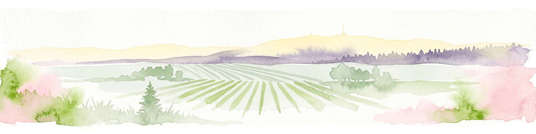
A soft watercolor painting depicting a rolling landscape with fields, a small forest edge, and a mountain peak in the background.
Protected areaRhineland-Palatinate
About 4.3 km away#1 closest

Southeast

Donnersberg Protected Area: A Geographic Atlas of the Palatinate Region's Highest Massif

Geological landscapes, Celtic heritage sites, and forested mountain terrain.

The Donnersberg massif represents a critical point of geographic and archaeological interest in Rhineland-Palatinate. This protected area encompasses a 24-square-kilometer rhyolite cryptodome featuring high-altitude plateaus, a complex network of forest ecosystems, and well-preserved remnants of ancient Celtic fortifications. Its steep slopes and diverse rock formations offer a clear look at the geological and historical layering of the German landscape.

Area
24 km²
Relief
Mountain
Climate
Temperate
Access
Easy access
Protected landscapeRhineland-Palatinate
About 9.7 km away#2 closest

Northeast

Rheinhessische Schweiz: Protected Landscape and Regional Geography in Rhineland-Palatinate

Forested ridges and dry heathland terrain

Rheinhessische Schweiz represents a significant protected area defined by its dense deciduous forests, narrow valleys, and nutrient-poor porphyry soils. This atlas entry details the geographic composition of the Wiesener Randhöhen and the Neubamberger Riegel, highlighting the unique dry grassland ecosystems preserved within these North Palatine Uplands boundaries.

Area
67.66 km²
Established
1961
Relief
Upland
Climate
Temperate
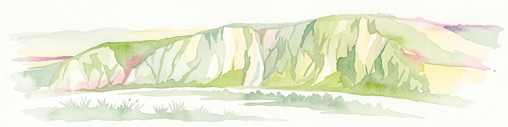
A horizontal watercolor painting depicting a wide, jagged rock cliff face with green hills, set against a plain background.
Nature reserveRheinland-Pfalz
About 11 km away#3 closest

North

Rotenfels Nature Reserve: A Geographical Portrait of the Nahe Valley Rhyolite Cliff

Geological landscape and protected habitat in Rheinland-Pfalz.

The Rotenfels nature reserve is anchored by a massive 200 meter high rock wall formed from red rhyolite. This protected landscape is recognized for its vertical drop into the Nahe River valley, creating a distinct microclimate that supports specialized cliff vegetation and raptor habitats within a traditionally farmed viticultural region.

Area
0.91 km²
Established
1939
Relief
Mountain
Climate
Temperate
Nature reserveDonnersbergkreis
About 13 km away#4 closest

East

Steinbühl-Schäfergraben: A Protected Porphyry Quarry Landscape in Donnersbergkreis

Managed conservation grazing for open habitat biodiversity

Steinbühl-Schäfergraben represents a rare convergence of industrial history and conservation science, where an abandoned porphyry quarry has been transformed into a species-rich protected landscape. By employing year-round grazing with hardy livestock, the site retains its open, rocky character, contrasting with the surrounding woodlands of the Donnersbergkreis. This location provides essential insight into land reclamation and the development of open-terrain ecosystems on post-industrial ground.

Area
0.67 km²
Established
1998
Nature reserveRheinland-Pfalz
About 14 km away#5 closest

Southeast

Spendel-Wildenstein Nature Reserve: Protected Forest Boundaries and Regional Geography

Deciduous forest reference area in the Donnersbergkreis district

Discover the geographic and ecological structure of Spendel-Wildenstein, a 145-hectare protected forest area in Germany. This nature reserve serves as a crucial natural forest reference site, known for its layered woodland communities, including rare Montpellier maple-oak and maple-ash stands situated along the Wildensteiner Bach stream valley.

Area
1.45 km²
Established
1981
Nature reserveDonnersbergkreis
About 14 km away#6 closest

South

Beutelfels Nature Reserve: Geographic Insights and Protected Landscape Mapping

A diverse forested landmark in the Donnersbergkreis district

Located in the Falkensteiner Berge range, Beutelfels represents a significant protected area within the German landscape. The reserve showcases a dense integration of maple-linden forests and open rocky outcrops, preserved as a dedicated forest reference plot. Discover the unique topography and ecological zoning that define this essential 59-hectare segment of the Nordpfälzer Bergland.

Area
0.59 km²
Established
1981
Relief
Mountain
Climate
Temperate
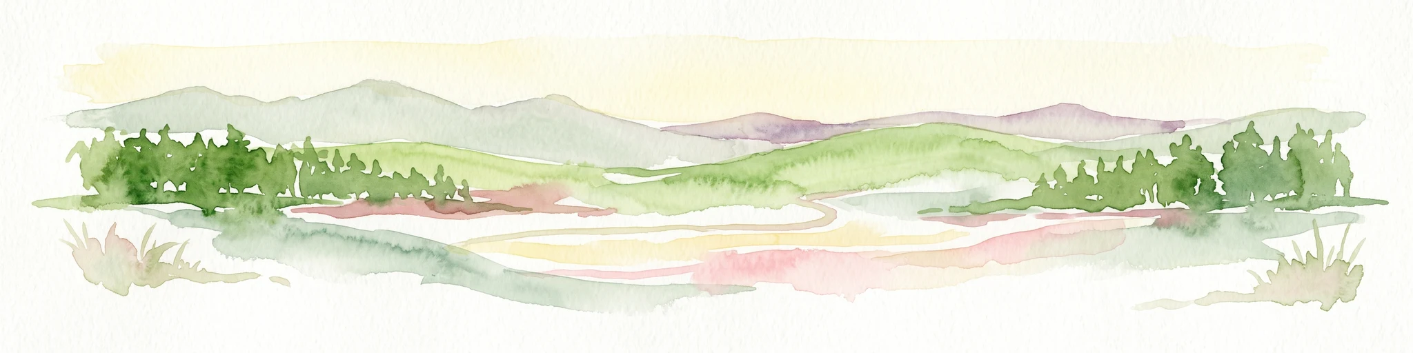
A horizontal watercolor painting of rolling green hills, a small stream, and forested slopes against a pale sky.
Protected areaRheinland-Pfalz
About 19 km away#7 closest

Southwest

Königsberg Protected Area: Geography, Forest Habitats, and Regional Landscape Identity

Examining the mountain ridges of the Nordpfälzer Bergland

Königsberg stands as a prominent mountain massif in the German state of Rheinland-Pfalz. This protected landscape is characterized by deep mixed beech-oak forests, significant geological scree formations, and an intricate history of mining. Its ridge-line terrain provides a critical study of upland geography, separating regional valleys while hosting a diverse array of protected natural habitats and medieval heritage sites.

Area
10.47 km²
Relief
Mountain
Climate
Temperate
Access
Moderate access
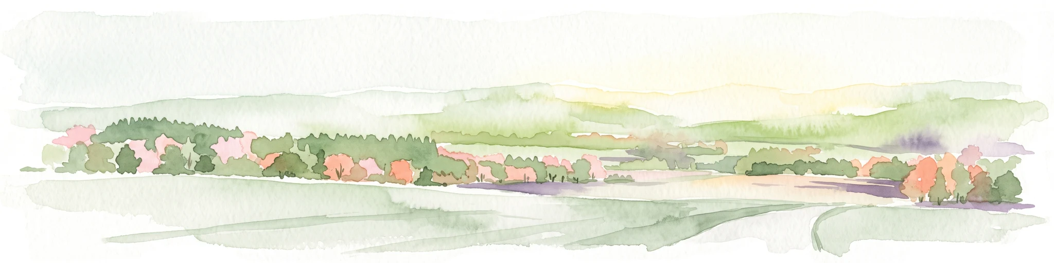
A soft, painterly watercolor illustration of a rolling landscape with patches of forest, light green fields, and distant hazy hills.
Protected landscapeRheinland-Pfalz
About 23 km away#8 closest

Northwest

Soonwald Protected Landscape: Mapped Quartzite Ridges and Forested Massifs in Rhineland-Palatinate

Geographic analysis of the Hunsrück ridge system and protected natural terrain

The Soonwald is a significant quartzite-dominated ridge system within the German Hunsrück. This protected landscape encompasses 40 kilometers of uninterrupted crestlines, deep valley incisions, and ecological forest reserves. It offers a detailed study in mountain geography and ridge-dominated topography for those interested in the structural layout of the Rhineland-Palatinate natural environment.

Area
276.6 km²
Relief
Mountain
Climate
Temperate
Access
Easy access

Common questions about visiting, size, designation, and location context for Langhöll-Falkenberg

Langhöll-Falkenberg FAQs for park facts, access, geography, and protected area context

Find quick answers about Langhöll-Falkenberg, including protected-area facts, park geography, trail and visitor context, and how the park fits into its surrounding country and regional landscape.
MoriAtlas Explorer

Continue Your Protected Areas Search Across the Global Atlas

Deepen your exploration by continuing the structured search for national parks and protected areas worldwide. Utilize the comprehensive filtering capabilities to compare different conservation landscapes and refine your understanding of global park geography. Discover more about the distribution and characteristics of protected natural areas.

Global natural geography