Why Laurel Fork North Wilderness stands out
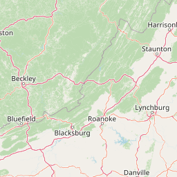
Laurel Fork North Wilderness is best known for its contrast of high-elevation Appalachian hardwood forest with the narrow, fern-filled valley of Laurel Fork. The wilderness exemplifies how heavily logged Appalachian land has been allowed to recover under strict wilderness protection, producing today a contiguous, essentially roadless tract of second-growth forest. It is also recognized as one of a pair of companion wildernesses split by a single county road. This pairing, with the larger Laurel Fork South Wilderness directly across Route 40, gives Laurel Fork North a distinctive identity as the northern anchor of one of West Virginia's more important small-wilderness complexes.
Laurel Fork North Wilderness history and protected-area timeline
The lands that now make up Laurel Fork North Wilderness have a deep history of industrial timber extraction. During the late nineteenth and early twentieth centuries, this part of what is now the Monongahela National Forest was owned by the Laurel River Lumber Company. The earliest logging took place by floating cut timber downstream along Laurel Fork itself, a method that left the steep valley bottom heavily used before the arrival of large-scale railroad logging.
Railroad access eventually replaced the traditional log-drive operations and accelerated the harvest of the surrounding forest. The early industrial logging of the region, characterized by splash dams and stream drives, was succeeded by more systematic railroad logging that reached deep into the Laurel Fork valley. By 1921, the original old-growth forest of the area had been fully cut over. The abandoned cutover landscape, much of it scarred and eroded, was subsequently acquired by the U.S. Forest Service and incorporated into the Monongahela National Forest.
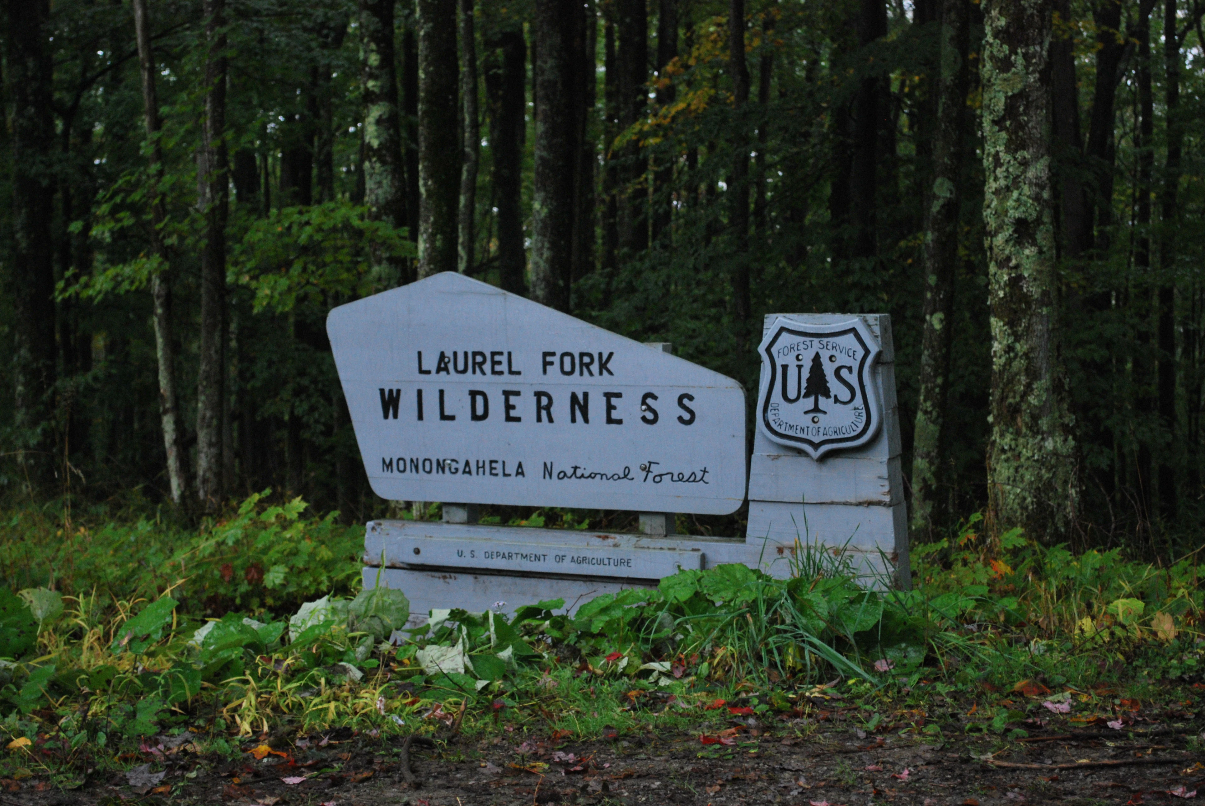
For decades after acquisition, the area was managed as part of the larger national forest, with regrowth gradually replacing the denuded cutover. The decisive conservation step came in 1983, when Congress and the Forest Service formally designated the area as Laurel Fork North Wilderness alongside its sibling Laurel Fork South Wilderness. The 1983 designation, enacted through legislation addressing Monongahela National Forest land designations, placed the tract under the protection of the National Wilderness Preservation System and set the long-term framework for its management as wilderness.
Laurel Fork North Wilderness landscape and geographic character
The landscape of Laurel Fork North Wilderness is quintessentially Appalachian: a mosaic of high ridges, narrow hollows, and shaded stream valleys typical of the Allegheny Mountains in West Virginia. Middle Mountain forms the western rim of the wilderness, with long, contoured slopes descending toward Laurel Fork and its tributary hollows. The eastern slope of the wilderness opens gradually into broader upland terrain.
The terrain is shaped almost entirely by long-term forest processes. Past industrial logging smoothed out some of the older disturbance features and reshaped the understory, but the underlying topography of ridge-and-hollow remained intact. Today the wilderness reads as a single broad forested plateau incised by the laurel-choked valley of Laurel Fork and its small tributaries. Elevations in the unit reside in the moderate range characteristic of the central Appalachian highlands rather than at the extreme high points of the Monongahela.
The valley of Laurel Fork is the principal landscape feature of the area. The stream and its fringing vegetation produce a cooler, moister, and more sheltered corridor than the surrounding ridges, giving the wilderness an internal contrast between dry upland hardwood forest and damp, fern-rich bottomland along the creek.
Laurel Fork North Wilderness ecosystems, habitats, and plant life
Ecology in Laurel Fork North Wilderness reflects the recovery of a heavily cutover Appalachian landscape. Today the wilderness supports a maturing second-growth hardwood forest dominated by oaks, maples, beeches, birches, and other broadleaf species characteristic of the central Appalachian highlands. In cooler and moister microhabitats, hemlock and other conifers contribute to a layered, multi-aged canopy.
The valley of Laurel Fork creates a clearly different ecological setting than the surrounding ridgetops. Along the creek and its immediate slopes, shade, moisture, and accumulated organic matter support a thick understory of ferns, mosses, and moisture-loving shrubs, as well as a denser, more mixed canopy. The ridge tops and upper slopes, by contrast, carry drier, more oak-dominated forest with a sparser understory.
As a wilderness area where mechanized management is severely restricted, the unit is undergoing slow structural recovery. Natural processes such as windthrow, insect activity, and gap-phase regeneration are now the primary forces shaping the forest, gradually restoring the characteristics of a more ecologically complete Appalachian forest system.
Laurel Fork North Wilderness wildlife and species highlights
Because of its extensive forest cover and limited road access, Laurel Fork North Wilderness provides habitat typical of larger, more remote forest tracts in the Monongahela highlands. The dominant hardwood and mixed forest supports breeding bird communities associated with mature Appalachian forest, including various warblers, woodpeckers, thrushes, and other species reliant on interior forest conditions.
Mammals typical of the central Appalachian forest mosaic are present in the wilderness, including species such as white-tailed deer, black bear, and various small mammals and furbearers associated with extensive forest cover. The stream valleys, including the riparian corridor along Laurel Fork, also provide habitat for salamanders, frogs, and other moist-forest species characteristic of the region. The combination of recovering forest structure, persistent canopy cover, and limited human disturbance makes the wilderness ecologically valuable for species that benefit from large, contiguous forest blocks.
Laurel Fork North Wilderness conservation status and protection priorities
Laurel Fork North Wilderness protects roughly six thousand acres of roadless, high-elevation forest within the Monongahela National Forest, one of West Virginia's most ecologically significant national forest units. As a designated Wilderness Area under the 1964 Wilderness Act framework, the unit is managed to preserve wilderness character, limit mechanized uses, and allow natural ecological processes to operate with minimal direct human intervention.
The wilderness carries particular conservation meaning because it lies on formerly cutover land. The 1983 designation locked in protections that have allowed recovery from intensive logging to continue across multiple decades, and the strict limitations on new roads and development help ensure that this recovery is not interrupted. The wilderness also contributes to a broader conservation network across the Monongahela, complementing larger wilderness tracts, special management areas, and other reserves that together maintain functioning forest landscapes in the Allegheny Mountains.
Laurel Fork North Wilderness cultural meaning and human context
The cultural context of Laurel Fork North Wilderness is shaped by its industrial logging past rather than by long-standing human settlement within the wilderness itself. The upper Laurel Fork valley was once part of a heavily exploited timber landscape, first through log drives down the creek and later through railroad logging. Remnants of those operations, including old grades and traces of former railroad infrastructure, remain part of the area's historical character.
In contrast to many parts of West Virginia, the wilderness lands themselves were not the heart of a permanent farming or settlement community. Their story is primarily one of extraction followed by abandonment and eventual conservation, a pattern shared by many former industrial forestlands in the Appalachian highlands. The wilderness today is valued locally as a quiet, forested refuge and a tangible example of forest recovery on formerly cutover land.
Top sights and standout views in Laurel Fork North Wilderness
Highlights of Laurel Fork North Wilderness include the long, forested valley of Laurel Fork; the bordering ridgeline of Middle Mountain; a maturing Appalachian hardwood forest recovering from a century-old logging legacy; and the wilderness's pairing with Laurel Fork South Wilderness as complementary units sharing a single, ecologically coherent landscape.
The unit also stands out for the quality of its solitude. With only a modest trail network and no road access within the wilderness boundary, it offers one of the quieter, less-visited wilderness experiences in the Monongahela National Forest.
Best time to visit Laurel Fork North Wilderness
Laurel Fork North Wilderness is best experienced in the spring and fall seasons typical of the central Appalachian highlands. Spring brings leaf-out, flowering understory plants, and active bird and amphibian life, along with cool, generally pleasant hiking conditions. Fall is widely regarded as a highlight season in the Monongahela, with hardwood foliage turning across the ridges and hollows of the Laurel Fork valley.
Summer visits are possible but should account for typical Appalachian upland weather, including warmer days, afternoon thunderstorms, and humid conditions along the creek corridor. Winter can be more challenging because of snow at elevation, ice on trails, and limited daylight, though it also offers stark, quiet forest scenery for experienced winter hikers. In all seasons, the wilderness rewards visitors prepared for changeable mountain weather rather than those expecting highly developed recreation infrastructure.