
Mori Atlas logo
Park guides

A comprehensive index of published resources for traversing the Ecuadorian Andes

Llanganates National Park: Available Geographic Guides and Landscape Discovery Resources

Access a curated collection of specialized guides for Llanganates National Park. These resources focus on regional navigation, high-altitude ecosystem characteristics, and essential seasonal timing for exploring the dramatic transition zones between Andean páramo grasslands and Amazonian cloud forests.

Related tags

Páramo EcosystemsAndean MountainsCloud ForestProtected AreaAlpine Wildlife

High-Andean páramo wilderness guarding the legendary Treasure of the Llanganatis

Llanganates National Park

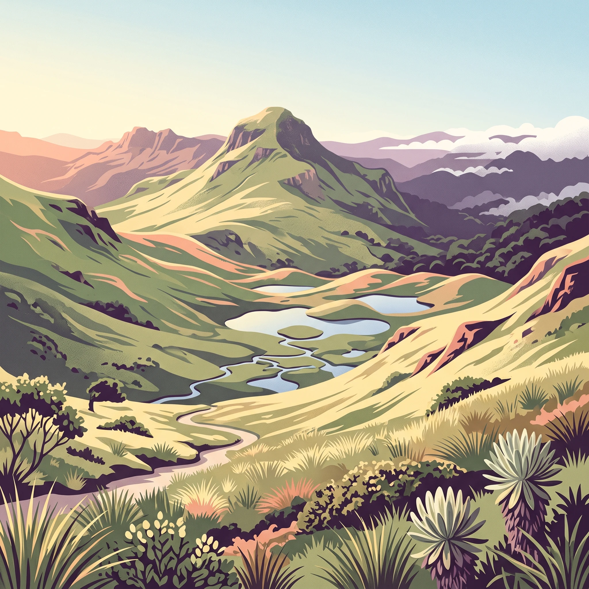
Llanganates National Park represents one of Ecuador's most significant protected wilderness areas, encompassing a remarkable range of ecosystems within a single protected boundary. The park straddles the dramatic ecological transition where the high Andes give way to the Amazon basin, creating a gradient of habitats that supports extraordinary biodiversity. Visitors approaching from the western side encounter the stark beauty of the páramo, a high-altitude grassland ecosystem found only in the northern Andes, where twisted vegetation and resilient shrubs cling to slopes swept by cold winds and frequent mists. This alpine world sits above the tree line, presenting a desolate yet hauntingly beautiful landscape of peaks and valleys that has supported South American camelids for generations. The eastern portion of the park tells a different story, where dense montane forests cloak the Andean slopes in a tapestry of green, their canopies often shrouded in clouds that rise from the Amazon lowlands below. These forests remain among the most difficult terrain in Ecuador to traverse, with countless rivers cascading down from the heights, creating a maze of ravines and forested ridges that has historically limited human access and allowed biodiversity to flourish relatively undisturbed. The park's cultural significance extends beyond its ecological value, as the legend of the Treasure of the Llanganatis has shaped regional identity and attracted explorers, adventurers, and historians to these mountains for centuries.

Location
Ecuador
Park type
National park
Established
1996
Area
2,197.1 km²
Highest point
4,570 m
Llanganates National Park Protected Landscape
MoriAtlas Explorer

Continue Exploring Llanganates National Park's Geographic and Landscape Atlas

Dive deeper into the cartographic and geographic significance of Llanganates National Park. Understanding its place within Ecuador's protected areas offers valuable insights for regional landscape analysis and the systematic exploration of natural terrains. This continued discovery enhances your grasp of protected lands and their ecological geography.