
Mori Atlas logo
Park guides

Available documentation for navigating glacial terrain and regional mountain landscapes

Expert Guides and Planning Resources for Los Glaciares National Park in Argentina

Access the comprehensive collection of published guides focused on the natural environment of Los Glaciares National Park. These resources clarify seasonal visit patterns and environmental contexts to support a deeper understanding of the glacial ice fields, granite peaks, and subpolar forests protected within this vast Argentine wilderness.

Related tags

glacial landscapesPatagonian AndesUNESCO World Heritage Sitemountain trekkingglacier viewing

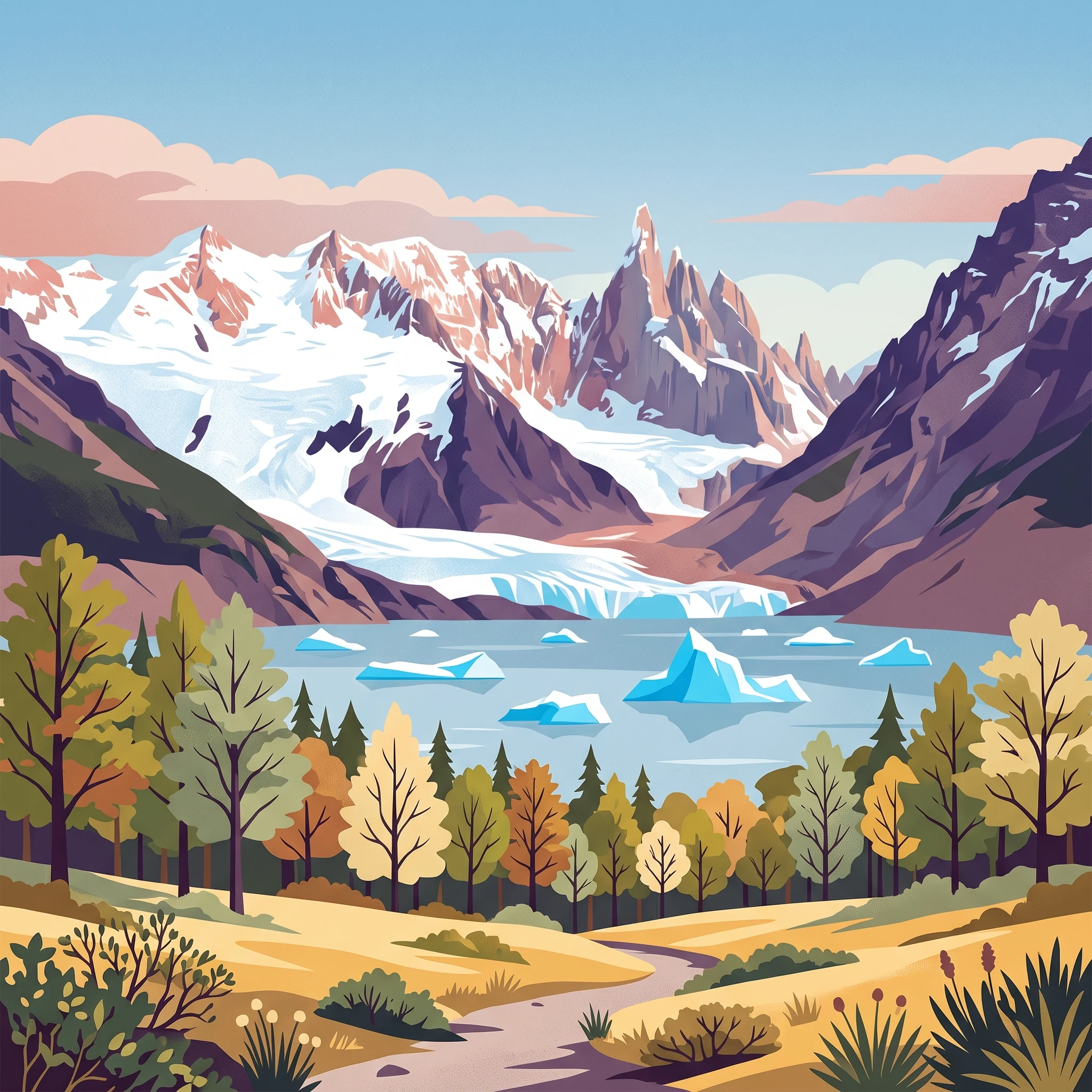
Patagonian glacial wilderness with dramatic ice fields and towering granite peaks

Los Glaciares National Park

Los Glaciares National Park occupies the southernmost extension of the Argentine Andes, forming a vast protected wilderness that represents one of the most significant glacial landscapes outside the polar regions. The park's defining feature is the Patagonian ice cap, a massive frozen reservoir that covers much of the high terrain and feeds numerous glaciers that radiate outward toward lower elevations. Unlike glaciers in most other parts of the world, which typically form at altitudes above 2,500 meters, the sheer scale of the Patagonian ice cap allows these glaciers to originate at approximately 1,500 meters and descend nearly to the shores of the glacial lakes below. The park divides naturally into two distinct sections centered on its two great lakes. The northern portion encompasses Lake Viedma, the Viedma Glacier, and some of the most dramatic mountain terrain in the park, including the celebrated peaks of Mount Fitz Roy and Cerro Torre that rise abruptly from the surrounding terrain. The southern portion contains Lake Argentino, the largest lake entirely within Argentina, and hosts the most spectacular glaciers including Perito Moreno, Upsala, and Spegazzini, which calve directly into the lake's waters. Between these two regions lies a central zone without significant lake features. The park serves as a critical ecological corridor connecting the wet Pacific-influenced forests of the western Andes with the arid steppe landscapes of the Patagonian plateau, creating remarkable biodiversity within a relatively compact area.

Location
Argentina
Park type
National park
Established
1937
Area
7,269.3 km²
Los Glaciares National Park Protected Area
1 guide

Compare focused topic guides and seasonal timing insights for protected terrain

Published Guides and Visit Planning Resources for Los Glaciares National Park

This collection provides published reference guides designed to help readers evaluate optimal visiting windows and seasonal conditions across the park landscape. Each resource addresses specific planning considerations, including daylight hours, temperature ranges, and crowd patterns near major glacial formations.
MoriAtlas Explorer

Continue Exploring Los Glaciares National Park's Glacial Landscapes and Geographic Context

Delve deeper into the mapped geography and protected land features of Los Glaciares National Park. Understand how its immense ice cap, dynamic glaciers, and iconic mountain terrain contribute to its status as a significant natural region. This atlas-driven exploration reveals the unique geographic characteristics and protected landscape identity that define this corner of the Patagonian Andes.