
Why Lower Agno Watershed Forest Reserve stands out
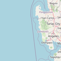
Lower Agno is best known as the protected watershed that feeds the San Roque Dam, the largest dam in the Philippines, and as one of the most significant stands of Benguet pine (Pinus kesiya) forest in the Cordillera Central. Its dramatic combination of pine-clad ridges, deeply incised river gorges, and historic gold and copper mining landscapes gives the reserve a distinctive character that blends water security, forestry, and extractive heritage. The reserve is also recognized for its rugged skyline of familiar Cordillera peaks, including Mount Ugo, Mount Ulap, and Mount Kotkot, which tower above the Agno River valley and shape both its climate and its ecological zones from tropical lower montane forest up to mossy and subalpine vegetation near the higher summits.
Lower Agno Watershed Forest Reserve history and protected-area timeline
The origins of the Lower Agno Watershed Forest Reserve lie in the Central Cordillera Forest Reserve, a sweeping 699,206-hectare protected area proclaimed on February 16, 1929 by Governor-General Henry L. Stimson under Proclamation No. 217. That proclamation declared roughly 81.8 percent of all Igorot minority lands in the Cordilleras as a single forest reserve, effectively drawing the institutional and legal template from which later, smaller reserves across the Cordillera would be carved.
In the years that followed, successive administrations trimmed that reserve to free up land for mining. A 1932 amendment excluded more than 1,000 hectares after 146 mineral claims were approved by Governor Theodore Roosevelt Jr., and further parcels were released under President Manuel L. Quezon in the late 1930s and early 1940s, opening up the resource-rich forests of Itogon and Tuba to gold and copper operations. These exclusions set the pattern of a forested highland landscape long shared between conservation designations and active extractive industry.
The modern reserve emerged from the Agno River Development Program, a postwar Philippine Power Program initiative conceived in 1946 under President Manuel Roxas to build a chain of hydropower facilities along the Agno River. The first two projects, the Ambuklao (Agno I) and Binga (Agno II) dams, were completed in 1956 and 1960 respectively, and the Ambuklao-Binga sub-basin was set aside as a separate forest reserve in 1966. A third dam, the San Roque Dam (Agno V), was authorized by President Ferdinand Marcos in 1981, and to protect its catchment the Lower Agno Watershed Forest Reserve was formally established on November 22, 1983.
The original reservation covered 39,304 hectares, with 9,550 hectares earmarked for the San Roque multipurpose dam project of the National Power Corporation. Construction of the dam itself began in 1998 and was completed on May 1, 2003, cementing the reserve's role as the principal watershed feeding the largest dam in the Philippines and reshaping the hydrology, ecology, and human geography of the entire Agno basin.
Lower Agno Watershed Forest Reserve landscape and geographic character
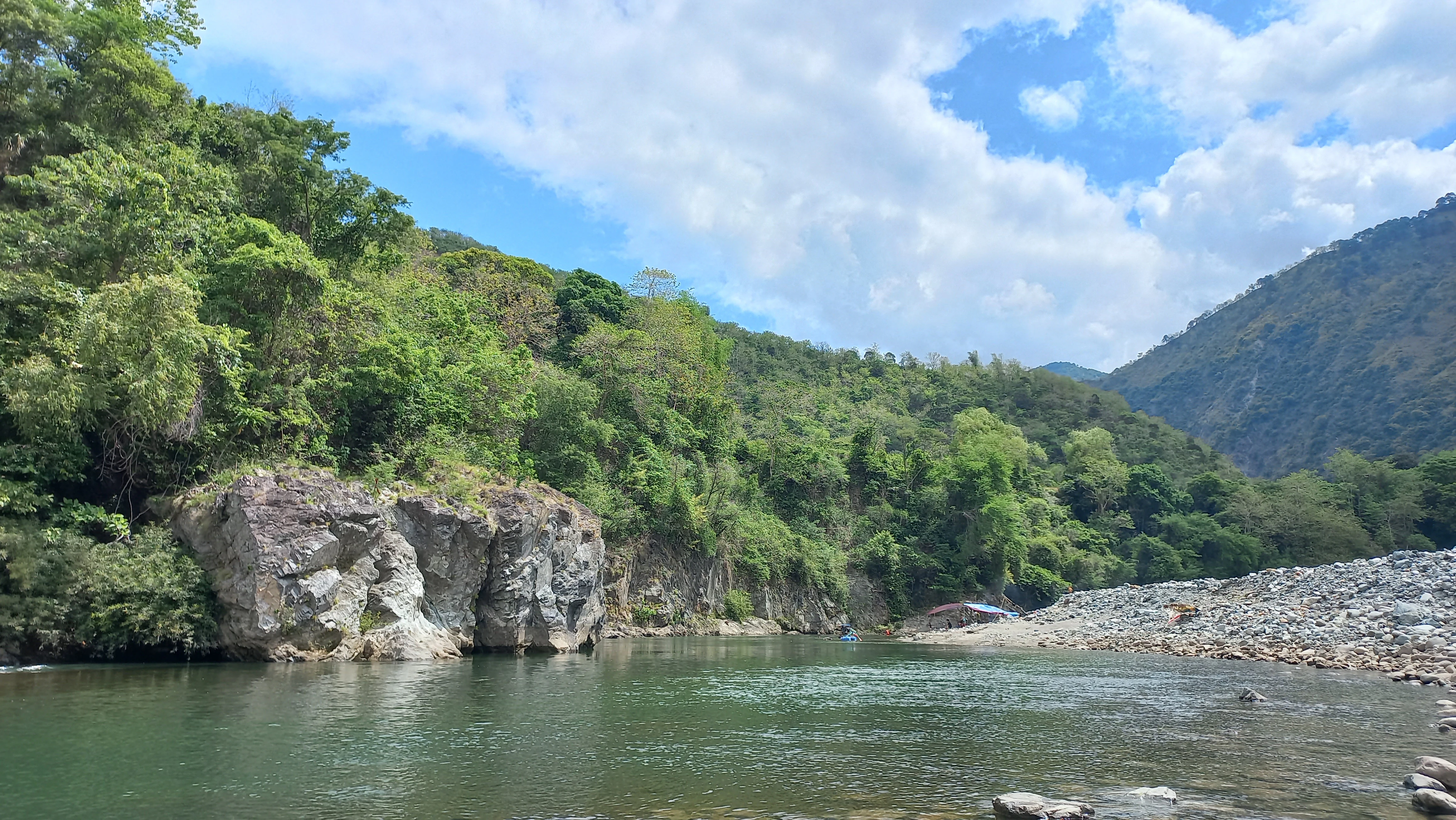
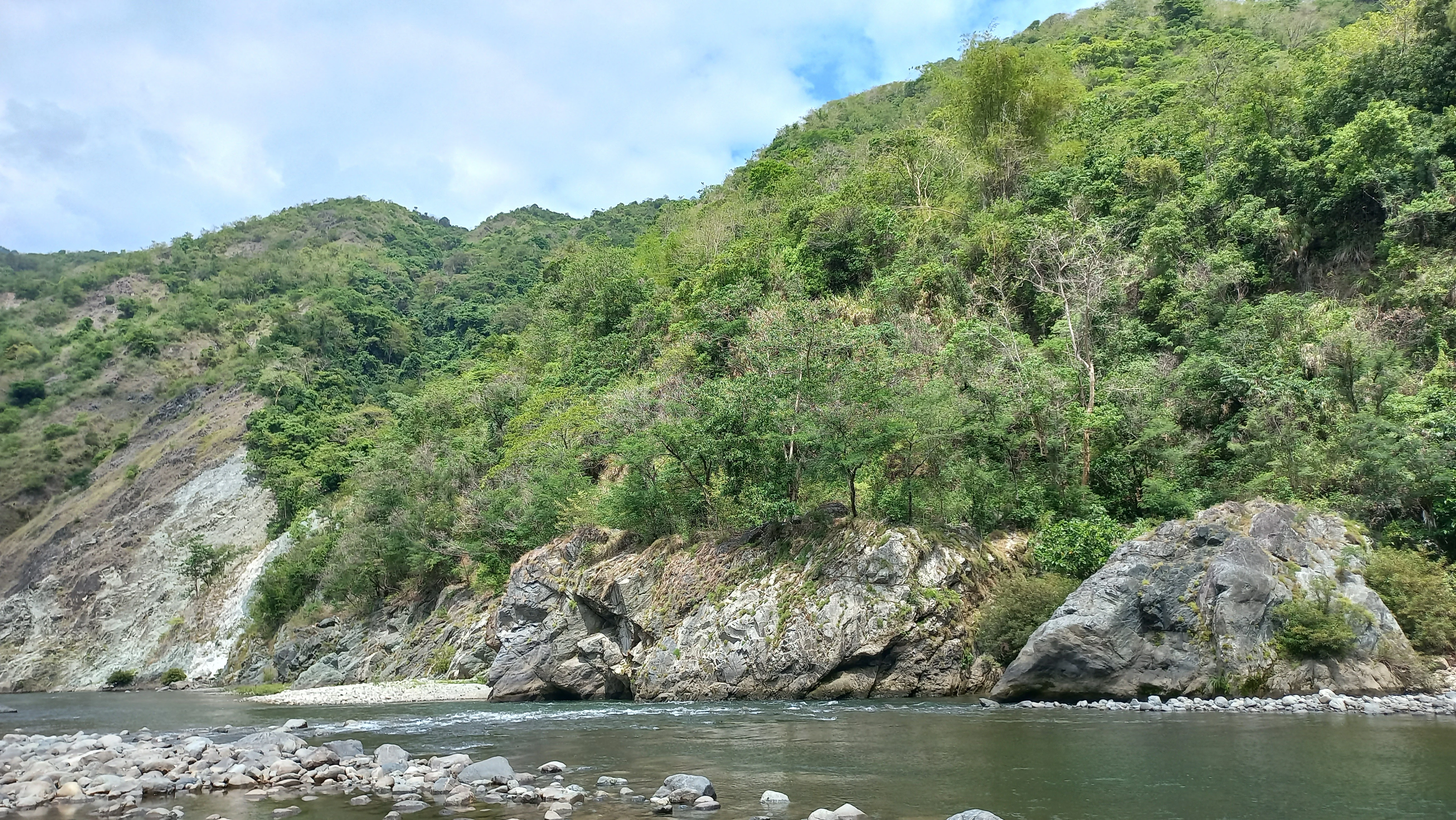
The reserve is defined by a long, narrow valley that follows the Agno River for about 34.59 kilometers from just below the Binga Dam in the mountain village of Tinongdan down to the foothills and alluvial plains of San Roque in San Manuel, Pangasinan. The river meanders through this corridor, joined by a dense network of short tributaries that descend from the surrounding ridges, including the Twin River in the north and the Laboy, Ambayoan, Balog, Albian, and Manaa further south. The result is a deeply dissected terrain of river gorges, ravines, and small floodplains that has been modeled by water for millennia.
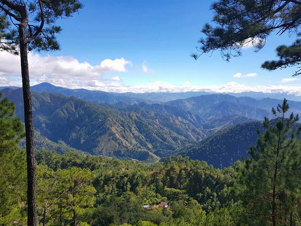
Elevation shifts dramatically across the reserve, from about 100 meters at the San Roque Dam site up to 2,164.6 meters at its highest point on Mount Ugo in the northeast. Mean elevation sits near 889 meters, and a series of named peaks shape the reserve's distinctive skyline. The western edge is defined by a sub-chain of the Cordillera Central that includes the 1,829-meter Mount Ulap and the 1,334-meter Mount Kotkot, while other notable summits inside the reserve include Mount Pigingan, Mount Ave Maria (Bidawan), and Mount Marikit. These mountains create local climate gradients and a stepped sequence of vegetation zones from lowland agricultural areas up to mossy and tropical subalpine forest near the highest peaks.
Geologically, Lower Agno is dominated by mountain-type terrain with undifferentiated and igneous intrusive rocks from the Miocene and Pliocene, and minor exposures of sedimentary and metamorphic rocks. Pockets of silt, sandy, and clay loam soils near the reservoir in Pangasinan add an agricultural character to the southern fringe. Layered onto this natural setting is a long history of mining activity, especially around the Ambalanga River and the Padcal area, where old mine workings and tailings have become part of the visible landscape alongside forest cover and river terraces.
Lower Agno Watershed Forest Reserve ecosystems, habitats, and plant life
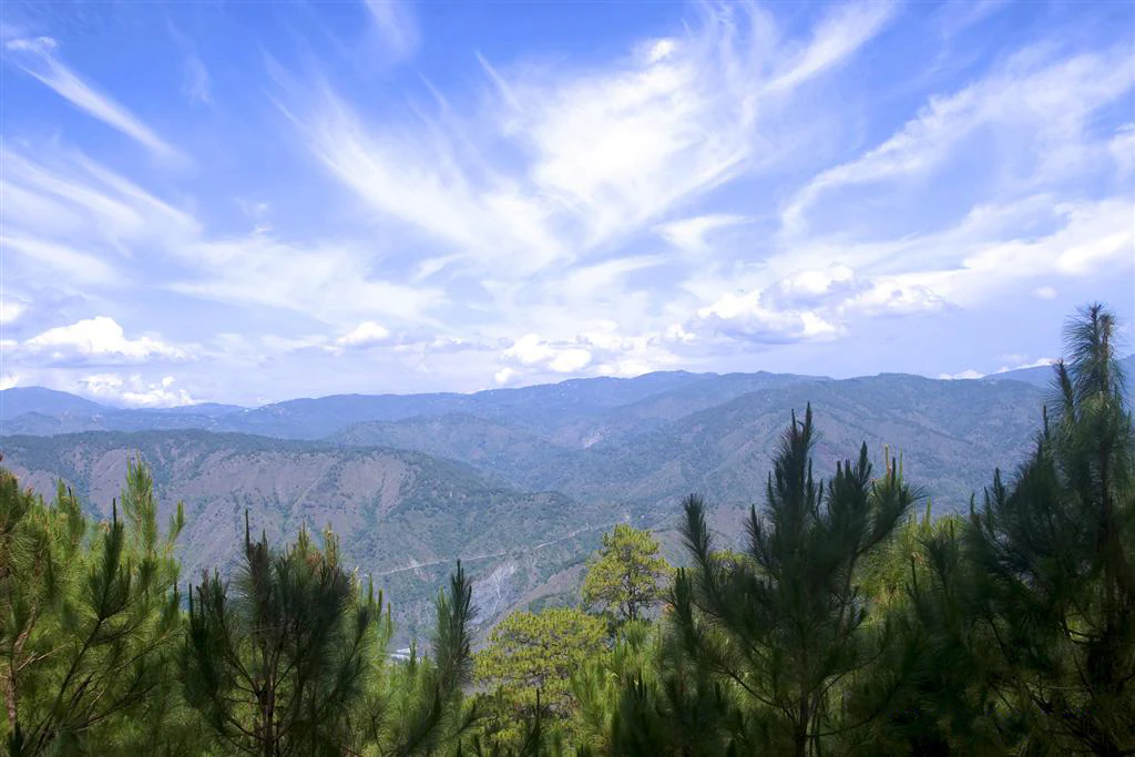
Lower Agno lies within the Central Cordillera Terrestrial Biogeographic Region and supports a vertical sequence of forest types that reflects its wide elevation range. The reserve contains mossy and tropical subalpine forests in its higher elevations, second-growth tropical lower montane forests on the middle slopes, and grasslands and agricultural lands in lower areas. The most visually defining vegetation is Benguet pine (Pinus kesiya), which dominates the tropical subalpine forests and gives large parts of the reserve their distinctive open, pine-clad character.
This combination of pine forest, montane forest, river gorges, and disturbed mining landscapes creates a mosaic of habitats. Steep cliffs and forested ridges provide refuge for wildlife, while the Agno River and its tributaries form aquatic and riparian corridors that connect different parts of the reserve. The northern portion around the Twin River is particularly important as a catchment node, with multiple branches feeding the Agno through the Gumatdang mining area and receiving water from the peaks around Baguio.
Although historical mining, logging, and hydropower development have altered significant portions of the reserve, the remaining forest cover and intact watersheds still anchor an important set of ecological functions. The reserve's true conservation value lies less in its rarity as pristine wilderness and more in its role as a hydrological and ecological backbone for central Luzon.
Lower Agno Watershed Forest Reserve wildlife and species highlights
The forests and river corridors of Lower Agno support a community of native Philippine wildlife well adapted to pine and montane forest environments. Mammals documented in the reserve include the Philippine deer, the Philippine long-tailed macaque, the Philippine warty pig, the Northern Luzon giant cloud rat, and the Malayan civet. Reptiles and other fauna found here include the Philippine cobra and monitor lizard, both of which are characteristic of lower and middle elevation habitats in Luzon.
The reserve is especially notable for its raptor community. At least eleven birds of prey have been recorded, including the Philippine hawk-eagle, the eastern osprey, the Brahminy kite, the Philippine serpent eagle, the white-bellied sea eagle, the rufous-bellied eagle, the black-shouldered kite, the crested honey buzzard, the barred honey buzzard, and the tiny Philippine falconet. This raptor diversity reflects the reserve's mix of forested ridges, open pine woodland, and river valleys that together provide hunting, nesting, and roosting habitat for a wide range of raptors.
Lower Agno Watershed Forest Reserve conservation status and protection priorities
Lower Agno is conserved primarily because it is the principal watershed for the San Roque Dam, the largest dam in the Philippines. The reserve's status as a protected area is intimately tied to securing water, hydropower, and irrigation supply for downstream communities in central Luzon, making its conservation value inseparable from the country's energy and water security. Its forests regulate the flow, quality, and timing of water reaching the reservoir, while its soils and slopes reduce erosion and sedimentation.
The reserve also carries significant biodiversity value as a refuge for Benguet pine forest and for native wildlife such as the Philippine deer, long-tailed macaque, and a diverse raptor community. Its protection status helps buffer these habitats against the pressures of mining, agriculture, and development that have characterized much of the Cordillera for more than a century. At the same time, the reserve is a working landscape, and its management involves balancing forest conservation with ongoing hydropower, irrigation, and mining interests under the joint oversight of national agencies and a dedicated protected area management board.
Lower Agno Watershed Forest Reserve cultural meaning and human context
The reserve sits within the ancestral domain of indigenous Kalanguya, Ibaloy, and Iwaak communities, whose relationship with these mountains and rivers long predates any modern conservation or mining designation. These groups have traditionally used the forests, rivers, and highland grasslands for livelihoods, resource gathering, and cultural practices, and the naming of many landscape features in the reserve, from mountains to river branches, reflects this long-standing human presence.
In the twentieth century, the area also became a core part of the Philippine mining industry, hosting some of the country's longest-operating gold and copper mines. Mining towns and communities such as Gumatdang, Ampucao, and Dalupirip developed along the Agno River and its tributaries, and infrastructure built for the San Roque Dam reshaped patterns of settlement and land use across the valley. The reserve's contemporary identity is therefore shaped by the interplay of indigenous Cordillera heritage, extractive industry, and modern hydropower development.
Top sights and standout views in Lower Agno Watershed Forest Reserve
Lower Agno stands out as one of the most strategically important watershed reserves in the Philippines, anchoring the water supply behind the country's largest dam. Its mix of Benguet pine forests, montane ridges, and dramatic Agno River gorges makes it a defining landscape of the southern Cordillera Central, while its long history of mining and indigenous land use adds cultural depth rarely matched by purely natural reserves.
Visitors and researchers drawn to the area find a rare combination of protected pine forest, hydroelectric infrastructure, working mining districts, and indigenous highland communities, all compressed into a single river corridor within easy reach of Baguio.
Best time to visit Lower Agno Watershed Forest Reserve
The dry months between roughly November and May generally offer more stable conditions for exploring the lower and middle elevations of the Agno River valley, with clearer views of the pine-clad ridges and the major peaks such as Mount Ulap and Mount Ugo. Cooler temperatures at higher elevations during this period also make longer hikes into the subalpine and mossy forest zones more comfortable.
The wetter months from June to October bring heavier rain, swollen rivers, and a greater risk of landslides in the steep terrain, but they also refresh the forests, sustain river flow into the San Roque Reservoir, and can produce the lushest green scenes in the pine and lower montane forests. Season Choice depends largely on whether the goal is drier hiking weather or a more vivid, water-rich landscape.