
Mori Atlas logo
Park guides

Focused insights and thematic resources for navigating the Glenelg River gorge landscapes.

Official Guide Collection for Lower Glenelg National Park in Western Victoria

The available guide collection provides specialized insights into the environmental and geographic features of Lower Glenelg National Park. These resources offer structured information to help deepen understanding of the limestone gorge, river systems, and coastal wetlands found across this significant Australian protected area.

Related tags

Gorge landscapesLimestone cavesRiver ecosystemsWetland habitatsBushwalking trails

Gorge landscape and ancient cave system in Victoria's Western District

Lower Glenelg National Park

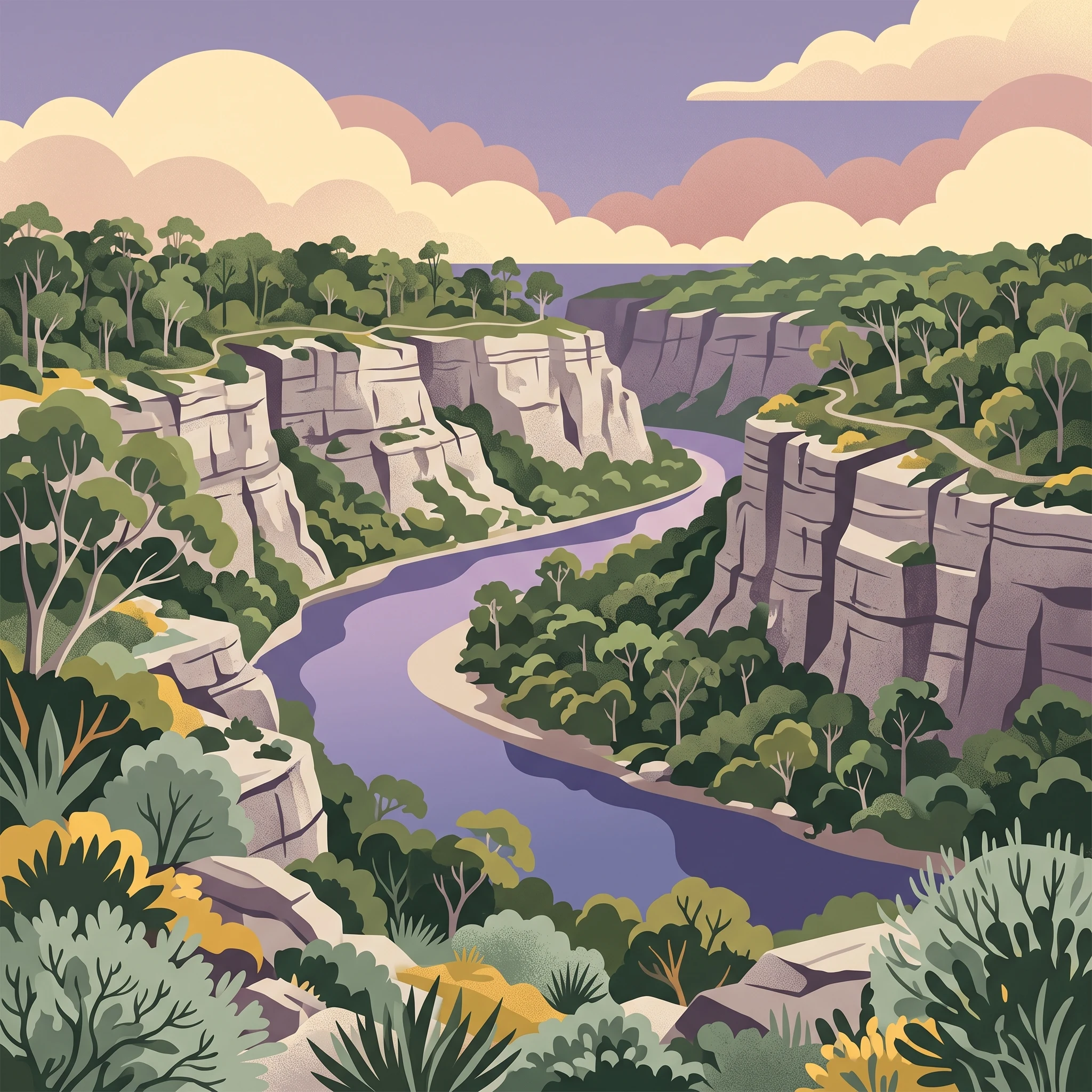
Lower Glenelg National Park occupies a significant place in Victoria's system of protected areas, preserving a stretch of the Glenelg River as it traverses the transition between the state's western uplands and the Southern Ocean coast. The park's terrain is dominated by the river gorge, which in places reaches depths of 60 metres, exposing limestone and sandstone geological formations that record millions of years of erosional history. The gorge environment supports distinct microclimates and specialised plant communities adapted to the cliff faces and shaded valley floors, contrasting with the more open woodlands that cover the surrounding plateau areas. Princess Margaret Rose Cave represents one of the park's most accessible and visually striking features, with the cave system containing examples of nearly every type of speleothem formation found in limestone caves. The cave's formation began approximately 800,000 years ago as groundwater slowly dissolved the limestone bedrock, depositing calcium carbonate minerals that built the intricate structures visible today. The cave is open to visitors through managed tours that explain the geological processes and the cultural history associated with the site. The park's recreational infrastructure centres on walking tracks that allow visitors to experience the gorge landscape, with the Great South West Walk providing the most comprehensive route through the park. This long-distance trail follows the river through the gorge, connects to the cave access areas, and continues toward the coast at Discovery Bay. The walking network includes shorter loop tracks suitable for day visitors, while the broader trail supports multi-day hiking experiences. The park receives approximately 200,000 visitors annually, drawn primarily by the gorge scenery and cave attractions.

Location
Australia
Park type
National park
Established
1969
Area
273 km²
Lower Glenelg National Park Protected Area
1 guide

Compare available reference materials and targeted topic collections for your visit.

Published Guides and Seasonal Planning for Lower Glenelg National Park

Browse the complete collection of published guides dedicated to Lower Glenelg National Park to support focused destination research. Evaluate specific planning themes, including seasonal timing for river activities and trail conditions, to match your exact informational needs.
MoriAtlas Explorer

Continue Exploring Lower Glenelg National Park's Mapped Geography and Protected Landscapes

Delve deeper into the atlas context of Lower Glenelg National Park, understanding its unique geological formations and its role as a protected natural area. Examine the park's mapped boundaries and the surrounding regional geography to enrich your geographic discovery of this distinctive Australian landscape.