Mori Atlas logo
Park earthquake history

A historical catalogue of regional seismic records mapped by epicentre distance from the protected area.

Recorded Seismic Activity and Earthquake History: Magerrasen von Gronau mit angrenzenden Flächen

Review a structured dataset of historical seismic events linked by location to Magerrasen von Gronau mit angrenzenden Flächen. This collection presents recorded earthquake data including magnitudes, event dates, and depth metrics to support regional geographic analysis. Each entry represents a unique seismic recording associated with the protected landscape through its proximity to the site in the Hessian Bergstraße region.

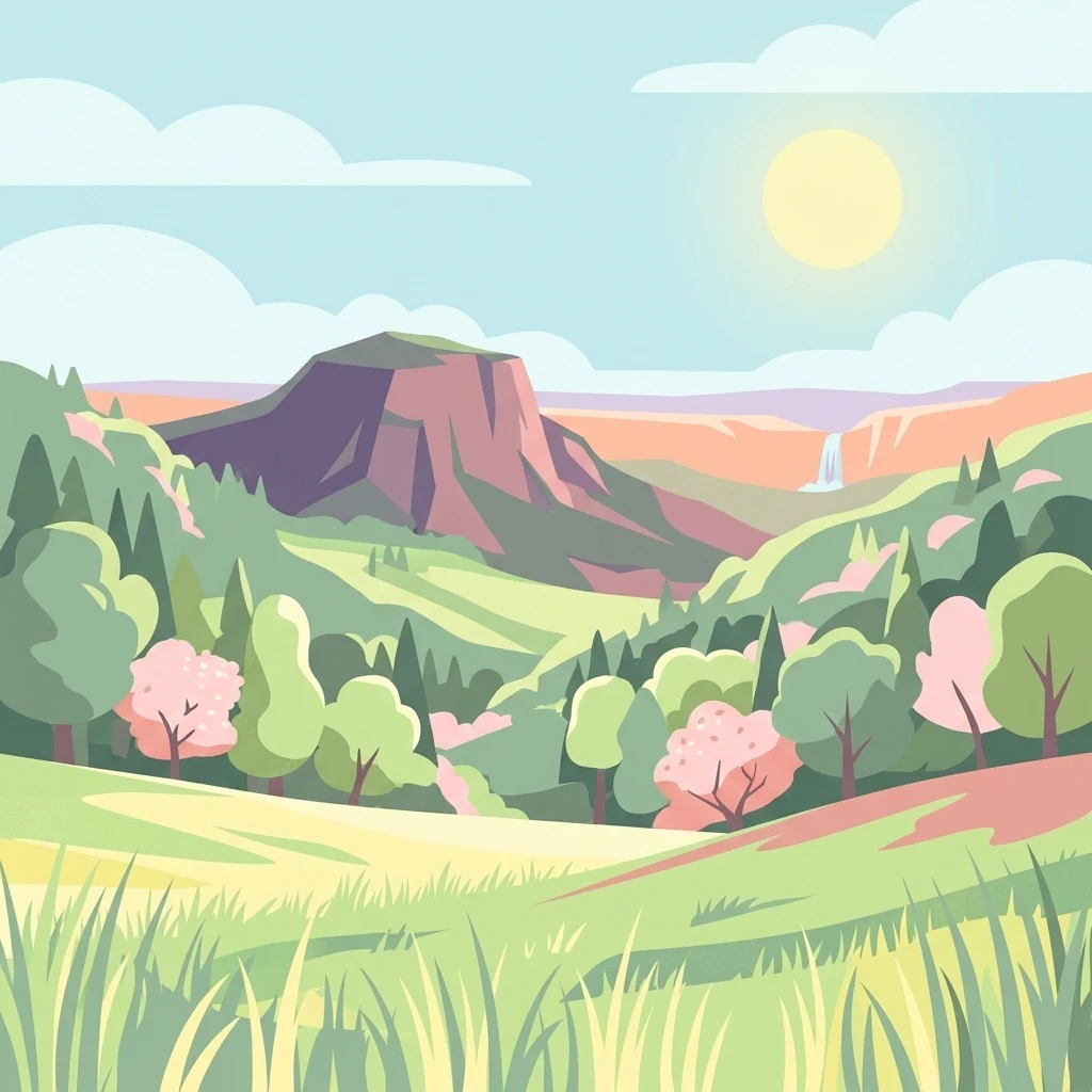
A digital illustration depicting a sunny landscape with grassy foreground, rolling green hills, a prominent rocky mountain peak in the distance, and a small waterfall flowing from a cliffside under a clear sky.

A fragmented lime-rich grassland sanctuary in the Bergstraße-Odenwald, protecting orchids, butterflies, and rare meadow habitats.

Magerrasen von Gronau mit angrenzenden Flächen

Magerrasen von Gronau mit angrenzenden Flächen is a small but ecologically important protected area in the southern Hessian Bergstraße region of Germany, lying within the municipal territory of Bensheim and the broader Geo-Naturpark Bergstraße-Odenwald. Established as part of the European Natura 2000 network, it consists of three separate sub-areas that together safeguard some of the most species-rich dry and semi-dry grassland communities in the western Odenwald foothills. The site is defined by its Magerrasen, nutrient-poor calcareous and semi-dry meadows that have evolved over centuries of traditional low-intensity land use. These grasslands harbour a remarkable concentration of wild orchids, aromatic herbs, meadow sages, thymes, and a wide array of insects, including butterflies and grasshoppers that depend on the open, warm habitat. Beyond their immediate botanical richness, the protected grasslands form a living link in the Natura 2000 network of the Upper Rhine and Odenwald region. They connect traditional cultural landscape, meadow conservation, and climate-sensitive habitat preservation, making the area a small but representative example of how fragmented limestone grassland systems can be protected at the European level.

Location
Germany
Park type
Nature reserve
Established
2004
Area
1.6 km²
Magerrasen von Gronau mit angrenzenden Flächen Geography

Review Magerrasen von Gronau mit angrenzenden Flächen events

Earthquake records near Magerrasen von Gronau mit angrenzenden Flächen

Magerrasen von Gronau mit angrenzenden Flächen’s catalogue relates reported epicentres to its Hessian grassland site through calculated distance, not through warm slopes, calcareous meadows, or the Odenwald transition. Dates, magnitudes, depths, localities, sources, and site distances permit historical comparison without claiming habitat effects, boundary occurrence, current danger, or prediction.

Sort by
Magnitude
Location

This page describes catalogued earthquakes associated with the park by epicentre location and distance. It does not establish causation, assess current danger, or predict future earthquakes.

No earthquake records match the current filters

Park atlas

Beyond Magerrasen von Gronau mit angrenzenden Flächen earthquake data

More parks after Magerrasen von Gronau mit angrenzenden Flächen

Magerrasen von Gronau mit angrenzenden Flächen leads from its earthquake record to additional protected-area pages outside this Hessian dry and calcareous grassland, orchid, butterfly, and traditional-meadow landscape. These are browsing paths, not statements of similar Natura 2000 status, habitat, location, geology, earthquake history, source depth, hazard, or risk.
Watercolor painting showing a stylized, panoramic landscape of rolling hills and forest, depicted in soft green and earth tones against a white background.
Nature reserveHessen
2.7 km away#1 closest

Northeast

Felsberg bei Reichenbach Nature Reserve: Geography and Granite Boulder Field Analysis

Protected forest and geological monument in the Odenwald range

Felsberg bei Reichenbach protects 168 hectares of Odenwald mountain slope in Southern Hessen. The site is centered on the Felsenmeer, a dramatic sea of granite boulders created by frost weathering, framed by mixed deciduous woodland. This area functions as an important Natura 2000 habitat, preserving both specialized rock ecosystems and montane forest, providing a clear geographic link between the Lautertal valley and the high slopes of the Felsberg summit.

Area
1.677 km²
Established
1972
IUCN
IV
Relief
Mountain
A soft watercolor painting of a rolling green hillside with trees, set against a pale, light-colored background.
Nature reserveHessen
About 3.3 km away#2 closest

Northwest

Orbishöhe von Auerbach und Zwingenberg: Geography, Landscape, and Protected Area Mapping

An examination of Hessian quarry-based ecological conservation sites.

The Orbishöhe von Auerbach und Zwingenberg nature reserve serves as a prime example of localized conservation within the Odenwald hills. Its landscape is defined by former quarry faces and open slope terraces, which provide a critical habitat for rare and threatened plant species. This resource offers a clear look at the reserve's topography, physical boundaries, and its broader role within the Natura 2000 network of protected German lands.

Area
0.064 km²
Established
1988
A horizontal watercolor illustration of a soft green landscape with meadows, scattered trees, and distant rolling hills under a pale pink sky.
Nature reserveHessen
About 3.9 km away#3 closest

East

Schannenbacher Moor Nature Reserve: Geographic Overview and Protected Area Boundaries

Wetland and forest mosaic in the southern Hessian Odenwald

Schannenbacher Moor represents a significant protected area within Hessen, characterized by its combination of raised bog remnants, reedbeds, and near-natural floodplain woodlands. Framed by the Krehberg slopes and the Meerbach stream system, the reserve offers a rare example of low mountain bog ecology and biodiversity conservation. This mapped landscape provides essential data on the distribution of mire plant communities and bryophyte habitats in the region.

Area
0.162 km²
Established
1975
IUCN
IV
A soft-focus watercolor painting of a wetland scene showing a calm body of water with reeds in the foreground and a tree-lined horizon under a pastel sky.
Nature reserveHessen
About 4.2 km away#4 closest

Southwest

Erlache bei Bensheim: Exploring Protected Wetlands and Altneckar Landscapes in Hessen

A distinct nature reserve and bird sanctuary site

The Erlache bei Bensheim nature reserve serves as a critical wetland corridor in the Hessian Rhine plain. This area features a former loop of the River Neckar, now characterized by alder swamp forest, reedbeds, and open water, creating a highly specific ecological terrain surrounded by the regional infrastructure of the Bergstraße district.

Area
0.49 km²
Established
2000
IUCN
IV
Relief
Lowland
A horizontal watercolor illustration of a soft, hazy landscape featuring light pink blooming trees in a green field, with rolling, misty purple and brown hills in the background.
Nature reserveHesse
About 5.7 km away#5 closest

North

Fuchswiese bei Stettbach: Mapped Nature Reserve and Protected Meadow Landscape in Hesse

Exploring the ecological boundaries of a specialized wet meadow reserve in southern Hesse

Fuchswiese bei Stettbach is a dedicated nature reserve serving as a critical habitat for threatened meadow butterfly species. Located in the Darmstadt-Dieburg district of Hesse, this protected area preserves wet meadow vegetation amidst the northern Odenwald fringe. The site offers a focused view into how small, carefully managed landscapes contribute to the broader ecological health and regional geography of central Germany.

Area
0.03 km²
Established
2010
A watercolor painting showing a soft, stylized landscape of green meadows, sparse trees, and distant rolling hills against a white background.
Nature reserveHesse
6.4 km away#6 closest

Northwest

Im Dulbaum bei Alsbach Nature Reserve: Mapped Inland Dunes and Grassland Geography

A vital protected sandy terrain in the Hessian Rhine Plain

Im Dulbaum bei Alsbach protects a remnant of the historic Rhine graben sand dune belt in southern Hesse. This nature reserve provides essential habitat connectivity for heat-loving species through its distinct calcareous sand grasslands and former quarry terrain, offering a look into the region's complex ecological history.

Area
0.092 km²
Established
1994
IUCN
IV
Relief
Lowland
A soft, delicate watercolor painting depicting a meandering river flowing through a lush, grassy wetland landscape with rolling hills in the background.
Nature reserveHessen
About 7.6 km away#7 closest

Northwest

Altneckarlachen von Alsbach, Hähnlein und Bickenbach: Protected Wetland and River Geography

A rare mosaic of prehistoric river loops in the Hessian Rhine plain

Altneckarlachen von Alsbach, Hähnlein und Bickenbach protects a unique sequence of prehistoric Neckar meanders featuring shallow water zones, reed belts, and black-alder swamp forest. This nature reserve in the Darmstadt-Dieburg district remains a critical wetland sanctuary, preserving a vital ecological cross-section of the ancient Rhine-Neckar landscape and its associated peatland soils.

Area
0.892 km²
Established
1990
IUCN
IV
Relief
Lowland
Watercolor painting of a green wetland landscape with a winding stream and distant hills in soft pastel colors.
Nature reserveHesse
About 8.5 km away#8 closest

Southeast

Albersbacher Riedwiesen Nature Reserve: Mapped Geography and Protected Landscapes in Hesse

A detailed atlas view of the Albersbach stream valley conservation corridor.

Situated in the Weschnitz valley region of Hesse, the Albersbacher Riedwiesen nature reserve offers a concentrated look at traditional Odenwald landscapes. The area protects a unique combination of wet meadows, reedbeds, and dry grasslands that follow the natural meandering course of the Albersbach stream, providing a vital study in local geomorphology and conservation geography.

Area
0.124 km²
Established
1996
MoriAtlas Explorer

Explore the Protected Landscapes of Magerrasen von Gronau mit angrenzenden Flächen

Investigate the natural terrain and ecological composition of this Hessian nature reserve. Understanding the connection between these fragmented calcareous grasslands and the Odenwald foothills provides a clear look at how small-scale habitat conservation functions within the MoriAtlas regional geography database.