
Mori Atlas logo
Park guides

Focused insights into karst terrain dynamics, river corridors, and seasonal environment planning

Mammoth Cave National Park: Collected Guides to Geological and Surface Landscapes

Access a specialized collection of knowledge covering the diverse features of Mammoth Cave National Park in Kentucky. These guides detail the world's longest known cave system, the surface karst landscape, and factors influencing visit timing for both underground passages and forested ridge trails.

Related tags

caveskarst landscapeWorld Heritage Siteunderground riverslimestone geology

World's longest known cave system protecting ancient karst landscapes in Kentucky

Mammoth Cave National Park

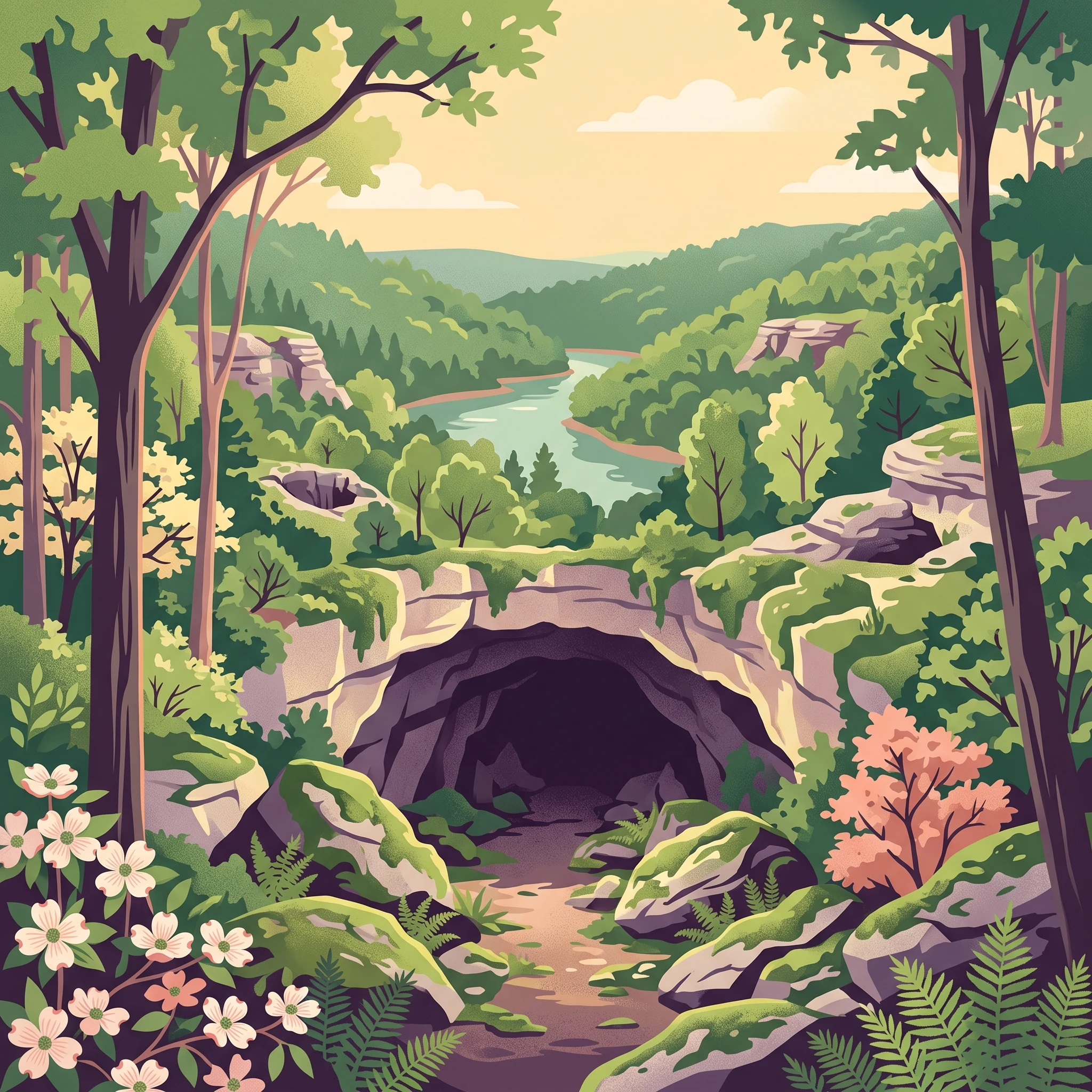
Mammoth Cave National Park preserves and protects one of Earth's most remarkable geological wonders while maintaining the ecological integrity of the surrounding karst landscape. The cave system formed in thick limestone layers deposited approximately 330 million years ago when Kentucky lay beneath an ancient sea. The overlying sandstone caprock has created a stable environment that has allowed the cave passages to develop and endure. Water penetrating the epikarstic zone eventually carved the vast network of passages that now extend for hundreds of miles beneath the ridges and valleys of the Mammoth Cave region. The park's surface encompasses diverse habitats, from forested ridges to river valleys, supporting both common and rare species. The Green River, designated as a Kentucky Wild River, flows through the park providing aquatic habitat and recreational opportunities. Visitors can explore the cave through numerous guided tours ranging from one to six hours, including lantern-lit tours that offer a glimpse into the historical exploration experience. The park's mission emphasizes preservation, interpretation, and study of the cave system's geological and biological features while providing public enjoyment and understanding of this unique landscape.

Location
United States of America
Park type
National park
Established
1941
Area
210.5 km²
Mammoth Cave National Park Atlas
1 guide

Compare specialized resources addressing timing and seasonal visitor density.

Published Guides and Focused Topic Collections for Mammoth Cave National Park

Published guides for Mammoth Cave National Park provide structured reference material dedicated to specific planning questions. Readers can evaluate seasonal trade-offs between surface hiking conditions and year-round subterranean climates before selecting a focused topic.
MoriAtlas Explorer

Continue Your Geographic Discovery of Mammoth Cave National Park's Protected Landscape

Delve further into the structured geographic data and mapped landscape context of Mammoth Cave National Park. Understanding its protected boundaries and regional setting provides essential insights for anyone interested in the atlas of US national parks and conservation areas. Explore the factual framework that defines this significant protected landscape for a richer appreciation of its natural geography.

Global natural geography