
Mori Atlas logo
Park guides

Focused insights and planning resources for the diverse ecosystems of the Hawkesbury River

Official Guide Collection for Exploring Marramarra National Park in New South Wales

The current guide index for Marramarra National Park offers structured insights for exploring its rugged ridgelines and complex tidal creek systems. Access specific resources covering environmental navigation and optimal seasonal timing within this protected natural corridor. Every resource provides essential context for understanding the geography and landscape dynamics of this Hawkesbury River region.

Related tags

Australian national parksSydney surrounding parksMangrove ecosystemsSclerophyll forestDarug heritage sites

A wilderness of waterways and ridges on Sydney's northwestern fringe

Marramarra National Park

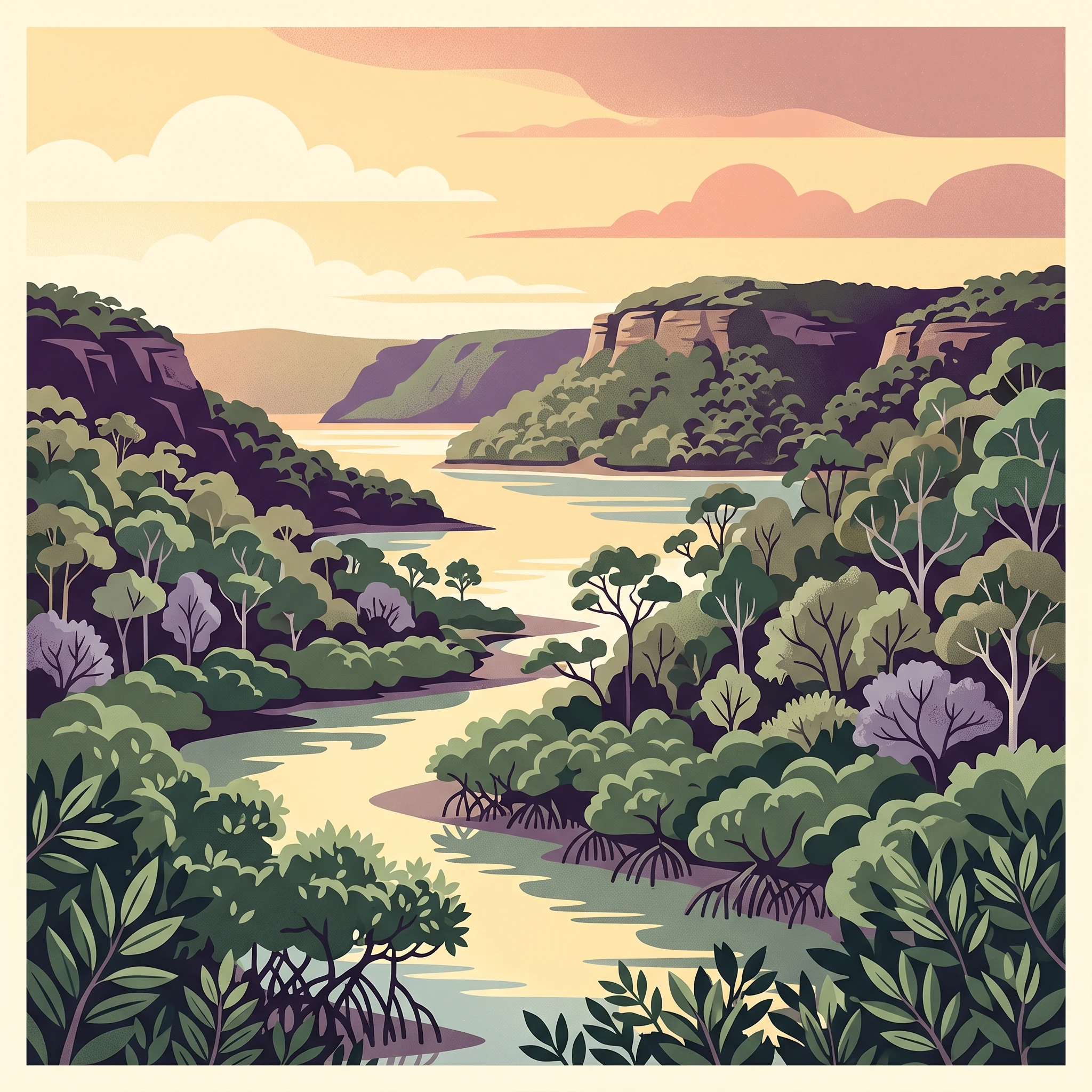
Marramarra National Park represents one of the more remote and undeveloped protected areas within easy reach of Sydney's metropolitan population. The park's landscape character is defined by the interplay between its waterway corridors and the ridgeline systems that separate them. The Hawkesbury River forms the northern boundary, providing tidal influence and creating the estuarine conditions that support the park's mangrove communities. Berowra Creek marks the eastern edge, another significant waterway that threads through the park's interior. The interior ridges support typical Australian dry sclerophyll forest, characterised by eucalyptus species and an understory of grasses and shrubs adapted to the relatively nutrient-poor soils. Unlike many national parks closer to Sydney that have extensive network of walking tracks and visitor facilities, Marramarra maintains a more primitive character. Access is predominantly via fire trails and service roads, often running alongside power line easements, with no dedicated walking track network. This relative lack of development contributes to the park's wilderness feel but also means visitors should be prepared for self-navigation and limited infrastructure. The park can be accessed from Wisemans Ferry via the Old Northern Road or from Hornsby through Galston Gorge via Galston Road.

Location
Australia
Park type
National park
Established
1979
Area
117.9 km²
Marramarra National Park Atlas
MoriAtlas Explorer

Continue Exploring Marramarra National Park's Sydney Geography and Park Atlas

Deepen your understanding of Marramarra National Park by delving into its specific geographic context and atlas representation. Learn more about how this protected landscape fits within the broader Sydney region and its natural terrain. By examining its mapped boundaries and conservation status, you gain valuable insights into Australia's park system and the unique characteristics of its protected areas. Continue your geographic discovery of Marramarra National Park and its place in the regional atlas.

Global natural geography