
Mori Atlas logo
Natural monumentMeandry Staré Odry

A preserved riparian corridor in the Moravian-Silesian Region featuring natural river dynamics and oxbow habitats

Meandry Staré Odry Natural Monument: Protected River Landscapes and Regional Geography

Meandry Staré Odry stands as a significant natural monument in the Moravskoslezský kraj of the Czech Republic, protecting a rare fragment of the historic Odra River channel. This lowland reserve captures the essence of natural river morphology through its sinuous meanders, abandoned oxbow pools, and lush riparian forest bands. The landscape provides vital habitat for wetland species and illustrates the original alluvial character of the northern Moravian plains, offering a clear window into regional river ecology and protected riverine terrain.

river meandersfloodplainoxbow poolsriparian forestwet meadowprotected landscape
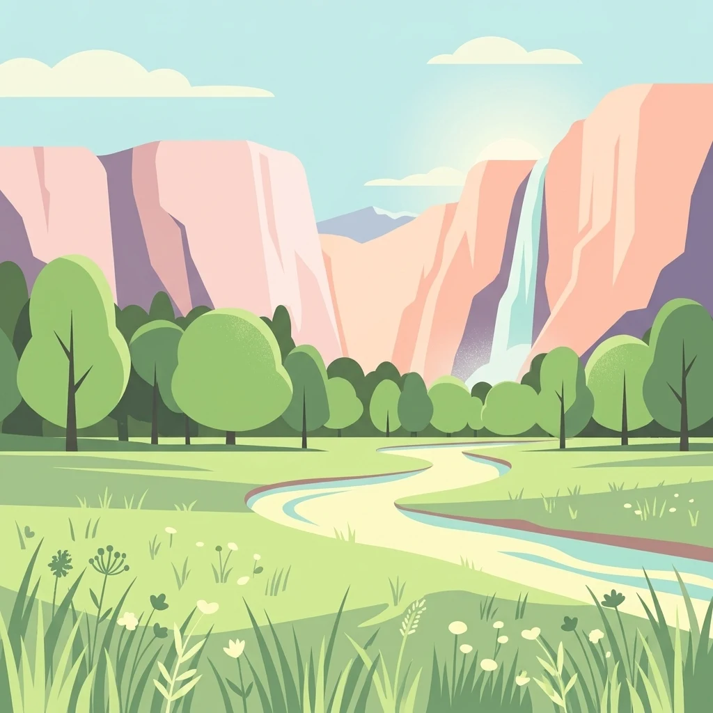
A flat vector illustration of a winding river flowing through a meadow toward distant canyon cliffs with a waterfall.

Meandry Staré Odry

Natural monument

Park overview

Structured park overview, official facts, and landscape profile for Meandry Staré Odry

Meandry Staré Odry park facts, protected area profile, and essential visitor context

Review the core facts for Meandry Staré Odry, including designation, size, terrain, visitor scale, habitats, and operating context in one park-focused overview.

About Meandry Staré Odry

Meandry Staré Odry captures a small but ecologically rich fragment of the historical Odra River, the great waterway that rises in the Moravian highlands and flows north toward the Baltic. In modern times most of the Odra's course has been straightened, deepened, and regulated to serve agriculture, settlements, and flood management. What makes this site important is that it retains the old, winding character of the river, with curving bends, still pools, and natural banks that early maps of the region would have shown.

The protected area is small in size but unusually varied for the surrounding lowland. Beyond the active meanders there are old cut-off channels and seasonal pools created when the river carved new routes and left its previous loops behind. These slow-moving waters, together with the seasonally flooded meadows that border them, build a mosaic of wet, damp, and drier habitats in close proximity. The result is a refuge for species that have largely disappeared from the largely channelized agricultural landscape that surrounds it.

Administratively, the site fits within the broader strategy of the Poodří Protected Landscape Area, which seeks to conserve the Odra's floodplain heritage across a much wider territory. Meandry Staré Odry acts as a concentrated showcase within that wider framework, holding a representative sample of the meandering river character that has otherwise been lost.

Quick facts and research context for Meandry Staré Odry

Meandry Staré Odry is a Czech přírodní památka, a category equivalent to a national-level natural monument, designated on 1 November 1999. It covers roughly 27.80 hectares near the municipality of Jeseník nad Odrou in the Nový Jičín district.

The site lies within the Moravian-Silesian Region and is administered by the AOPK ČR, the Administration of the Poodří Protected Landscape Area. Its elevation sits between roughly 256 and 259 meters above sea level, placing it firmly in the gentle lowland landscape of the northern Moravian countryside.

Protection and recognition

Terrestrial protected area management and official designation details

Meandry Staré Odry Protection Status and Conservation Recognition

Meandry Staré Odry holds a documented terrestrial protection status with specific management boundaries and conservation parameters. Review verified administrative records and official designation facts for this protected landscape.

Protection details

Protection scope
Terrestrial
Park context

Deeper park guide and search-rich context for Meandry Staré Odry

Meandry Staré Odry history, landscape, wildlife, and travel context

Explore Meandry Staré Odry through its history, landscape character, ecosystems, wildlife, conservation priorities, cultural context, and seasonal travel timing in a structured park guide built for atlas discovery and search intent.

Why Meandry Staré Odry stands out

The reserve is best known for preserving a rare surviving stretch of the Odra's natural meandering channel, complete with abandoned loops and oxbow pools. It is also recognized for its well-developed riparian forests and the periodically flooded meadows where protected wetland species survive.
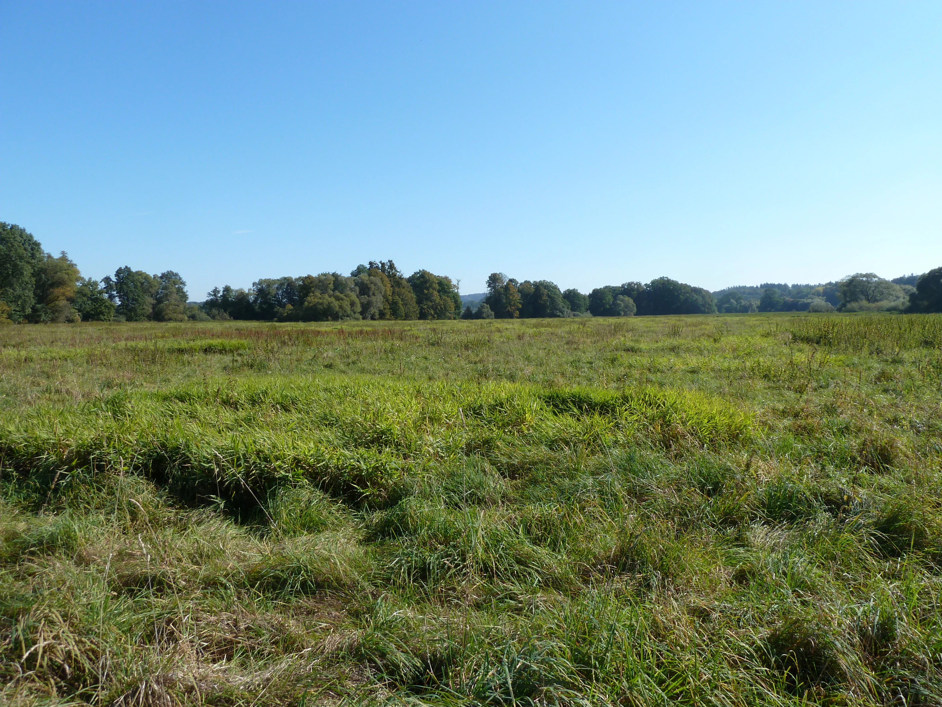
A wide, open meadow covered in green and dry grasses, bordered by a line of trees under a clear blue sky.
An open grassy meadow landscape within the Meandry Staré Odry natural monument.

Meandry Staré Odry history and protected-area timeline

Meandry Staré Odry was officially declared a přírodní památka, or natural monument, on 1 November 1999. The designation was issued through the Administration of the Poodří Protected Landscape Area, reflecting both the local conservation value of the surviving river meanders and their place within the larger floodplain conservation strategy of the upper Odra region.

At a broader level, the recognition of the site tells the story of the Odra River itself. For centuries the river meandered freely across its floodplain, but extensive regulation, canalization, and agricultural drainage during the nineteenth and twentieth centuries erased most of its original curves. By the late twentieth century, only a few short stretches retained anything close to their natural planform. The protection of this site represents an acknowledgment that these remaining meanders, along with their associated pools, riparian forests, and wet meadows, are irreplaceable remnants of the river's former character and deserve formal preservation.

Meandry Staré Odry landscape and geographic character

The terrain is low, soft, and shaped almost entirely by the river. Gentle alluvial ground surrounds the reserve, with the elevation sitting within a narrow band in the mid-250 meters above sea level range, characteristic of the broader northern Moravian floodplain.

The defining feature is the meandering channel itself: long, sinuous curves of slow-moving water flowing between low earthen banks. Around the active bends lie abandoned oxbows and cutoff pools, some still connected to the main channel during high water, others now standing as quiet ponds. Beyond the banks, low-lying meadows spread outward, periodically submerged when the river rises. The flat, water-rich surface makes the reserve feel distinctly different from the more upland landscapes of the wider Moravian-Silesian Region, and gives it a quiet, intimate atmosphere.
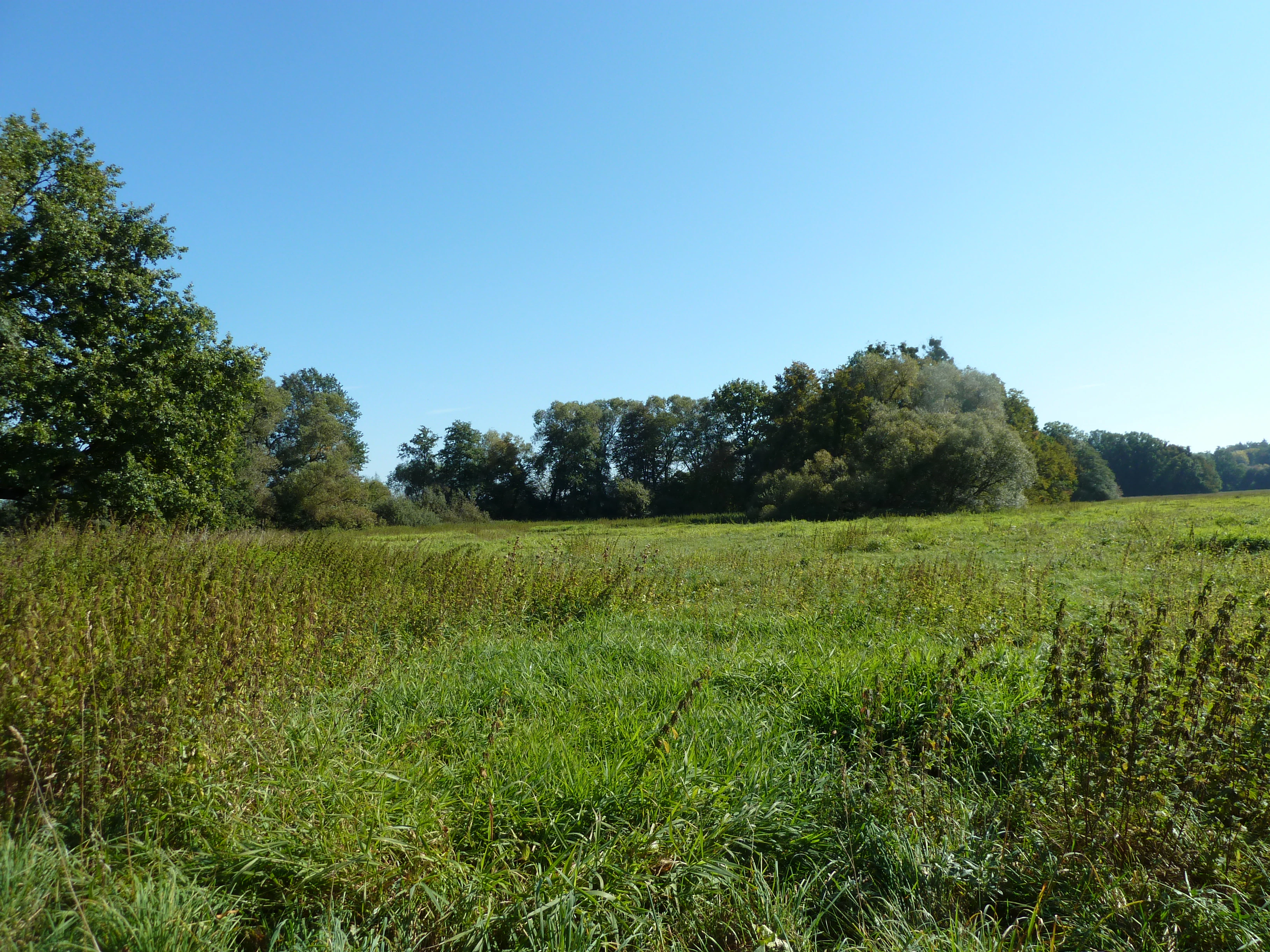
A wide, sunlit meadow with green grasses in the foreground, leading to a line of mature trees under a clear blue sky.
A grassy meadow bordered by riparian forest within the Meandry Staré Odry natural monument.

Meandry Staré Odry ecosystems, habitats, and plant life

The vegetation of Meandry Staré Odry is strongly tied to water and flooding. Along the riverbanks and the edges of the oxbow pools grows a well-developed riparian forest composed of ash, elm, oak, alder, willow, bird cherry, and small-leaved lime. These species together form a multilayered shoreline woodland that shades the water, stabilizes the banks, and supplies leaf litter to the pools.

Where the forest thins out, periodically flooded meadows take over. These damp grasslands host moisture-loving plants such as great burnet and a community of wetland herbs that depend on the seasonal rise and fall of the river. The transition from shaded riparian woodland to open wet meadow creates a gradient of light, moisture, and soil conditions that supports a high diversity of plant communities within a very small area, which is precisely the kind of habitat richness that river regulation tends to erase.
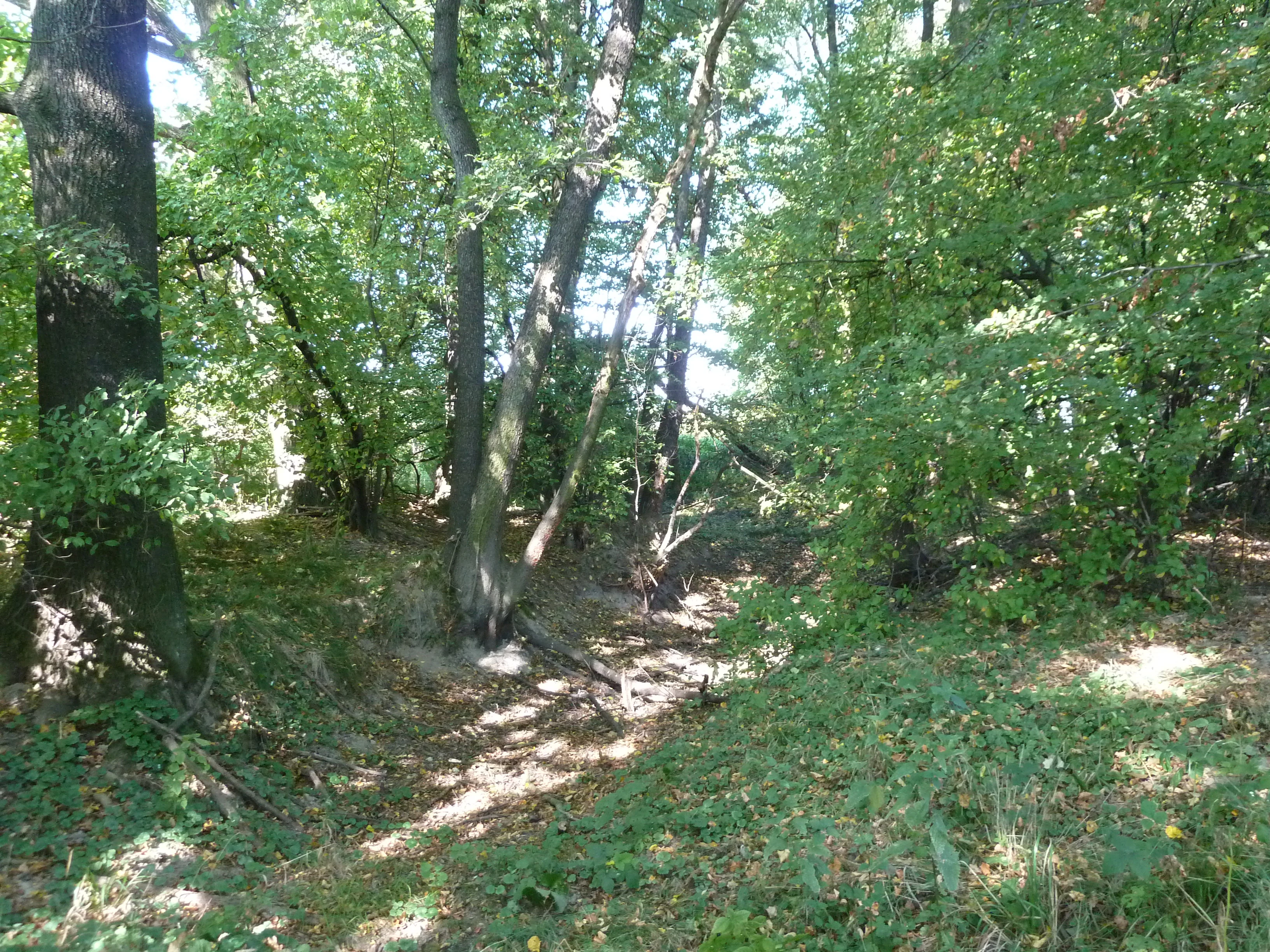
A sun-dappled forest floor with deciduous trees and leaf litter at Meandry Staré Odry.
A shaded section of the forest at Meandry Staré Odry natural monument.

Meandry Staré Odry wildlife and species highlights

The pools and slow stretches of the meandering Odra are the heart of the site's wildlife value. The still, sheltered waters of the oxbows offer breeding habitat for amphibians, which use them as safe nurseries away from the faster currents of the main river. The damp meadows extending alongside the banks provide additional habitat for invertebrates adapted to seasonal flooding.

Among the more notable inhabitants is the dusky large blue, a protected butterfly that occurs in the wet grassland portions of the reserve. The combination of standing water for amphibians, dense shoreline vegetation for birds and small mammals, and open meadow for insects makes the reserve a compact but productive refuge, especially in a regional landscape where most of these habitat elements have been reduced by river regulation and agricultural intensification.
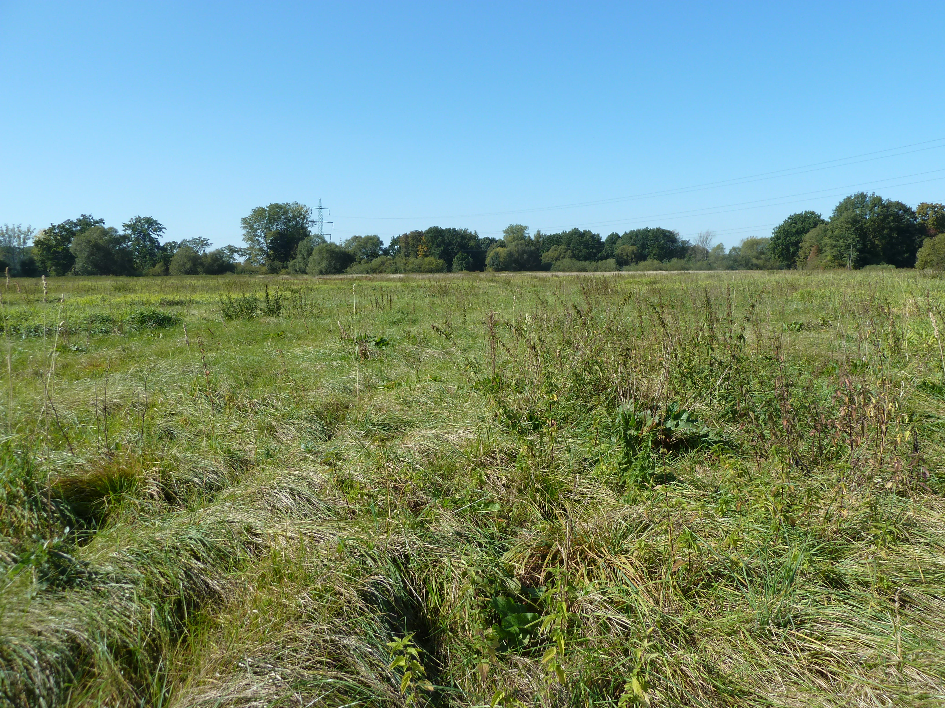
A wide, flat grassy meadow with tall vegetation under a clear blue sky, bordered by a line of trees in the distance.
A meadow landscape in the Meandry Staré Odry natural monument area.

Meandry Staré Odry conservation status and protection priorities

The conservation significance of Meandry Staré Odry lies in its role as one of the few remaining examples of a naturally meandering stretch of the Odra River. Most of the river's former curves have been eliminated through straightening and deepening, so this site preserves physical evidence of the river's original dynamics that has largely vanished elsewhere in the region.

By protecting the surviving meanders along with their associated oxbows, riparian forests, and floodplain meadows, the reserve maintains a functioning floodplain ecosystem rather than a fragment of one. Its designation also fits into the wider conservation strategy of the Poodří Protected Landscape Area, contributing to a broader effort to maintain floodplain habitats, support amphibian and invertebrate populations, and retain examples of the river's natural character across the upper Odra basin.

Meandry Staré Odry cultural meaning and human context

The Odra River has long been a defining feature of the northern Moravian landscape, both as a natural boundary and as a quiet backdrop to rural life. Communities such as Jeseník nad Odrou and Mankovice have grown up alongside the river's shifting course, and place names in the area still reflect the water's central role, as Jeseník nad Odrou literally means "Jeseník on the Odra." The reserve thus sits within a cultural as well as ecological setting where the river has shaped settlement patterns, agriculture, and local identity for centuries, even though the river itself has been physically altered.

Top sights and standout views in Meandry Staré Odry

A preserved fragment of the Odra's natural meandering course with visible oxbow pools, intact riparian forest of ash, elm, oak, alder, and willow, and seasonally flooded meadows that support protected butterflies and breeding amphibians within a small but ecologically dense lowland reserve.

Best time to visit Meandry Staré Odry

Spring and early summer are especially rewarding, when rising river levels reconnect the oxbows with the main channel, amphibians are active in the pools, and the floodplain meadows are at their greenest. Late spring also brings the best chance to observe the wet-meadow insects, including protected butterflies. Autumn offers quieter conditions and warm colors in the riparian woodland, while the meadows drain and the pools become more distinct. Winter visits reveal the clean geometry of the meanders themselves, when leafless trees and low water levels make the river's curves especially visible.


Monthly climate preview

Long-term representative coordinate records tracing monthly averages across the protected terrain

Meandry Staré Odry Climate Normals: Measured Annual Temperature and Precipitation Rhythm

Representative sampling across the protected coordinate documents a wide range of monthly temperature extremes alongside shifting precipitation averages from 1991 through 2020. Examining the complete twelve-month record clarifies multi-season environmental rhythms across the regional landscape.
Annual mean7 °C
-4 °C19 °C
Jan-4°
Feb-3°
Mar
Apr
May13°
Jun16°
Jul19°
Aug19°
Sep13°
Oct
Nov
Dec-3°
Warmest month
July

18.6 °C

Coolest month
January

-4.1 °C

Wettest month
July

3.4 mm/day

Driest month
January

1.6 mm/day

Park location guide

Geography guide, regional context, and park location map for Meandry Staré Odry

Meandry Staré Odry park geography, regions, and map view in Czechia

Understand where Meandry Staré Odry sits in Czechia through a broader geographic reading of the surrounding landscape, nearby location context, and its mapped position within the national park landscape.

How Meandry Staré Odry fits into Czechia

Czech Republic is a landlocked Central European country with a population of approximately 10.9 million people. The nation was established as an independent state on January 1, 1993, following the dissolution of Czechoslovakia. Its capital and largest city is Prague, with other major urban centers including Brno, Ostrava, Plzeň, and Liberec.

Wider geography shaping Meandry Staré Odry in Czechia

The Czech Republic is a landlocked country in Central Europe. It is bordered by Germany to the west, Austria to the south, Poland to the northeast, and Slovakia to the southeast. The landscape is predominantly hilly, with the territory covering 78,871 square kilometers.

Map view of Meandry Staré Odry

Use this park location map to pinpoint Meandry Staré Odry in Czechia, understand its exact geographic position, and read its mapped placement within the surrounding landscape more clearly.

Pigeon | © OpenStreetMap contributors

Location context for Meandry Staré Odry

Moravskoslezský kraj

Explore photographic records of meandering river channels, oxbow pools, and riparian forests.

Meandry Staré Odry Photos and Landscapes, Visualizing the Riverine Reserve

Visual documentation captures the rare meandering channels, quiet oxbow pools, and seasonal flood meadows defining the Meandry Staré Odry reserve. Examining these detailed landscape photographs provides a clearer understanding of lowland river habitats and protected riparian ecosystems.

A wide, open meadow covered in green and dry grasses, bordered by a line of trees under a clear blue sky.

A thick, dense cluster of green willow trees and shrubs growing along a riverbank with an old, moss-covered trunk growing horizontally across the lower middle frame.

A wide, sunlit meadow with green grasses in the foreground, leading to a line of mature trees under a clear blue sky.

A sun-dappled forest floor with deciduous trees and leaf litter at Meandry Staré Odry.

A wide, flat grassy meadow with tall vegetation under a clear blue sky, bordered by a line of trees in the distance.

Park atlas

Discover related lowland reserves and regional protected landscapes

Explore Protected Areas and Parks Near Meandry Staré Odry

Continue browsing other parks near Meandry Staré Odry to compare protected lowland ecosystems and river floodplains. Evaluating adjacent natural monuments provides deeper insight into the surrounding regional geography and regional conservation networks.
Natural monumentMoravskoslezský kraj
About 16 km away#1 closest

East

Váňův kámen: Natural Monument and Jurassic Limestone Landmark in the Moravian-Silesian Region

Geological outcrops and forest terrain in the Sub-Beskydy Hills

Váňův kámen presents a sharp, pyramid-shaped Jurassic limestone formation that breaks the rolling topography of the Sub-Beskydy Hills. This 0.78-hectare protected site preserves vital evidence of prehistoric coral reefs alongside significant archaeological layers and historical markers. Its unique position as a natural, historical, and geological feature makes it a focal point for understanding the diverse landscape composition of the Czech Moravian-Silesian Region.

Area
0.008 km²
Established
1993
IUCN
III
Relief
Upland
Natural monumentMoravskoslezský kraj
About 17 km away#2 closest

Northwest

Vrásový soubor v Klokočůvku: Geological Structure and Protected Monument Atlas

Regional rock exposures in the Moravian-Silesian landscape.

Vrásový soubor v Klokočůvku features an exceptional exposure of folded Culm sedimentary strata known as Dračí skála. This protected monument offers a clear view of complex fold geometries and tectonic deformation, serving as a primary site for understanding the geological history of the eastern Bohemian Massif landscape.

Area
0.013 km²
Established
1998
IUCN
III
Relief
Lowland
Natural monumentMoravskoslezský kraj
About 20 km away#3 closest

Southeast

Velký kámen: A Geological Natural Monument in the Moravskoslezský kraj Landscape

Sandstone cliffs and slope deformation in the western Carpathians.

Velký kámen offers a precise window into the flysch geology of the western Carpathians. The site features a defined sandstone cliff and extensive boulder debris, integrated with a natural forest fragment that showcases the biodiversity and terrain evolution characteristic of the Radhošťská hornatina highlands.

Area
0.036 km²
Established
1999
IUCN
III
Relief
Mountain
A soft watercolor illustration depicting a green, open floodplain with rows of trees under a pale, gentle sky.
Nature reserveMoravskoslezský kraj
About 28 km away#4 closest

Northeast

Polanský les Nature Reserve: Mapped Protected Landscape and Floodplain Geography

A preserved hardwood forest relic in the Ostrava region

Polanský les maintains a critical status as a protected nature reserve, safeguarding a relic hardwood floodplain forest along the Oder River. This area is characterized by its significant botanical diversity, including established snowdrop populations and mature broadleaf woodland. Its location within the Moravskoslezský kraj highlights its role as a dense ecological fragment at the geological boundary between the Bohemian Massif and the Outer Western Carpathians.

Area
0.598 km²
Established
1970
IUCN
IV
Relief
Lowland
A soft watercolor painting depicting a gentle, hazy landscape with rolling hills, scattered patches of trees, and a winding path, rendered in light green, yellow, and peach tones against a white background.
Protected landscapeCzechia
About 29 km away#5 closest

Southwest

Hostýnské vrchy Nature Park: Protected Landscape and Carpathian Foothill Geography

Forested ridge terrain across Zlín and Kroměříž districts

Hostýnské vrchy Nature Park represents a significant protected unit in the eastern Czech Republic, characterized by its deep forested ridges and open meadow clearings. As part of the outer Western Carpathians, the area supports diverse habitats including ancient beech and mixed forest stands alongside rare orchid populations. The landscape provides a clear window into the natural geography of central Moravia, with its intricate network of small watercourses and slopes.

Area
204 km²
Established
1989
Water
Minor water
Season
Year-round
Natural monumentOlomouc Region
About 31 km away#6 closest

West

Veselíčko Natural Monument: Geographic Profile of a Czech Protected Area

Concentrated conservation and habitat mapping in the Olomouc Region

Located in the Olomouc District, Veselíčko is a compact natural monument dedicated to specialized habitat protection. This site acts as a key component of the regional conservation network, offering insight into the intersection of cultural heritage and wildlife refuge management in the Czech Republic.

Area
0.001 km²
Established
2013
IUCN
III
Relief
Lowland
Natural monumentMoravskoslezský kraj
About 37 km away#7 closest

Northeast

Václavovice, pískovna Natural Monument: Mapped Geography and Protected Wetland Boundaries

Amphibian habitat and industrial site reclamation in Moravskoslezský kraj

Václavovice, pískovna represents a carefully managed natural monument where former quarrying activities have evolved into a rich mosaic of ponds, reeds, and damp woodland. Situated in the Moravian-Silesian Region, this compact site provides essential shelter for multiple amphibian species and underscores the importance of secondary natural habitats within broader regional geography.

Area
0.069 km²
Established
2013
IUCN
III
Relief
Lowland
Natural monumentMoravskoslezský kraj
About 37 km away#8 closest

East

Vodopády Satiny Natural Monument: Mapped Geography and Protected Carpathian Landscapes

Regional geomorphology in the Moravskoslezský kraj

The Vodopády Satiny natural monument protects one of the most clearly exposed rock channels in the Czech Carpathians. Located in the Moravskoslezský kraj, the site demonstrates the impact of flysch geology on stream formation, where cascading waters have carved a distinct, long-exposure path through local mountain forests.

Area
0.09 km²
Established
2006
IUCN
III
Relief
Mountain

Common questions about visiting, size, designation, and location context for Meandry Staré Odry

Meandry Staré Odry FAQs for park facts, access, geography, and protected area context

Find quick answers about Meandry Staré Odry, including protected-area facts, park geography, trail and visitor context, and how the park fits into its surrounding country and regional landscape.
MoriAtlas Explorer

Continue Your Protected Areas Search Across the Global Atlas

Deepen your exploration by continuing the structured search for national parks and protected areas worldwide. Utilize the comprehensive filtering capabilities to compare different conservation landscapes and refine your understanding of global park geography. Discover more about the distribution and characteristics of protected natural areas.

Global natural geography