
Mori Atlas logo
Park guides

Compare dry-season wildlife with wetter birding months

Mikumi National Park seasonal visit-planning guide for Morogoro Region

Use Mikumi National Park's available guide to compare the park's principal seasonal experiences. Its timing advice explains why June through October brings thinner vegetation and concentrated wildlife near dependable water, while November through May offers greener landscapes and birdwatching with rain-related challenges on unpaved roads.

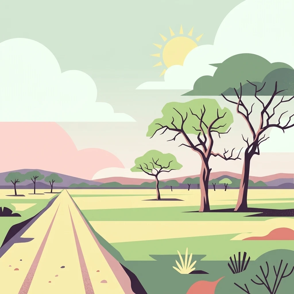
Illustration of a dirt road leading through a savannah landscape with scattered acacia trees, green fields, distant hills, and a sun in the sky

Tanzania's fourth-largest park bordering the Selous ecosystem

Mikumi National Park

Mikumi National Park occupies a strategic position in Tanzania's protected area network, serving as the fourth-largest national park in the country and forming an essential ecological continuum with the Selous Game Reserve to the south. This connection creates a vast transboundary conservation area that supports seasonal wildlife migrations and maintains ecological processes across hundreds of kilometers of intact savannah habitat. The park's setting near Morogoro places it within reach of Tanzania's largest city, Dar es Salaam, making it one of the more accessible major wilderness areas for visitors seeking to experience East African wildlife without extensive travel logistics. The park is bisected by a main road that divides distinct environmental zones, with the northwestern portion featuring the fertile Mkata River floodplain and the southeastern region presenting more remote and less-visited terrain. The surrounding mountain ranges, including the Uluguru Mountains to the northeast and the Udzungwa Mountains to the west, influence local climate patterns and contribute to the park's diverse habitats. Management of the park falls under the Tanzania Parks Authority, which maintains infrastructure for visitor access while preserving the natural character that makes Mikumi ecologically significant.

Location
Tanzania
Park type
National park
Established
1964
Area
3,230 km²
Highest point
1,290 m
Mikumi National Park Protected Area
MoriAtlas Explorer

Continue Exploring Mikumi National Park's Mapped Landscape and Regional Geography

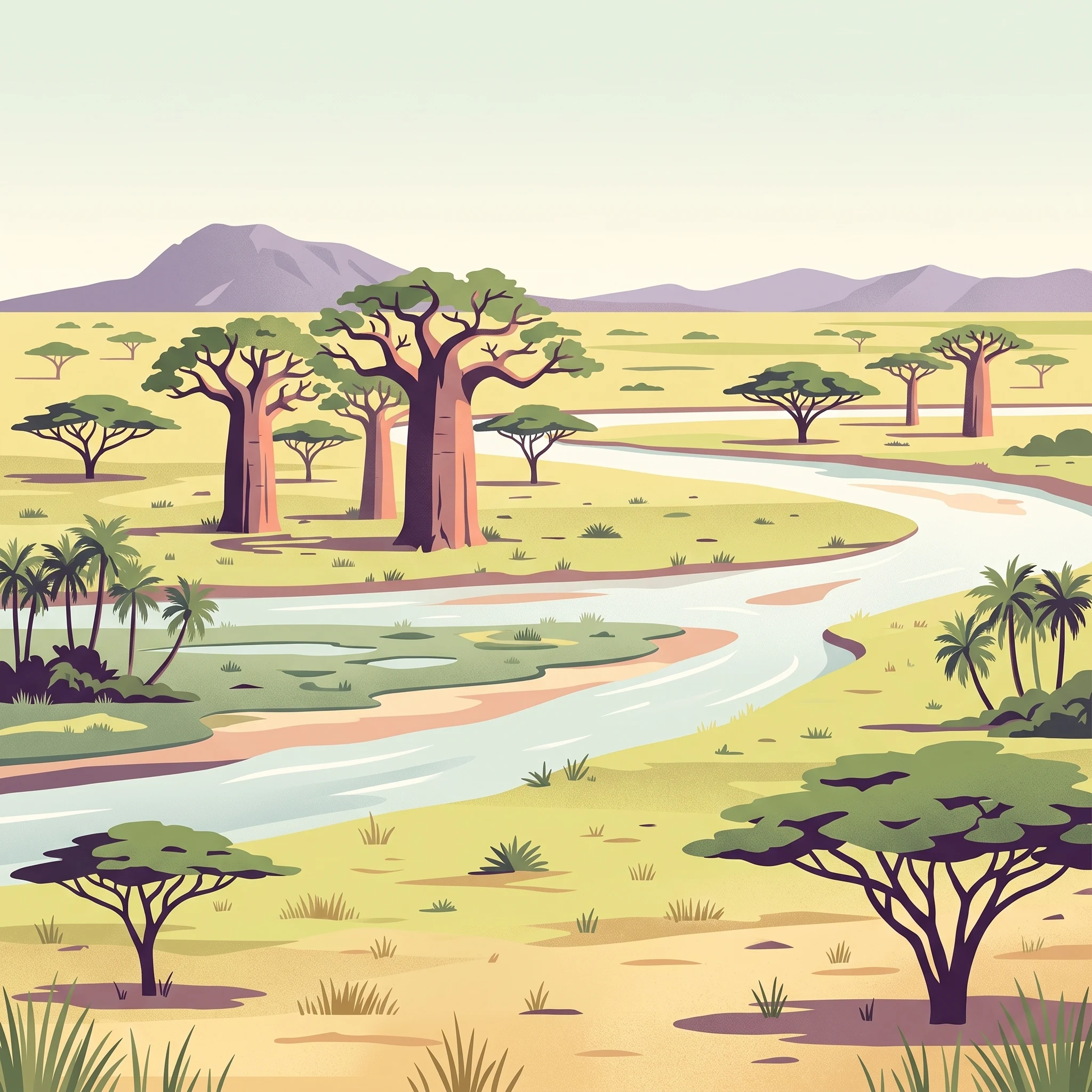
Delve deeper into the geographic identity of Mikumi National Park, understanding its role as a protected savannah ecosystem within the broader atlas of Tanzania's natural areas. Examine its mapped boundaries, distinctive terrain featuring iconic baobab trees and mountain backdrops, and its critical position adjacent to the Selous Game Reserve. This exploration offers structured insights into the park's natural landscape and its conservation context.

Global natural geography