Mori Atlas logo
Nature reserveMittleres Ourtal zwischen Dreiländereck und Rellesmühle

A cross-border river valley landscape connecting wetland, woodland, and rock habitats

Mittleres Ourtal zwischen Dreiländereck und Rellesmühle Protected Nature Reserve Geography

The Mittleres Ourtal zwischen Dreiländereck und Rellesmühle nature reserve encompasses a 490-hectare submontane river landscape in western Germany. Located in the Eifel region of Rhineland-Palatinate, this protected area spans the international border along the Our river, sustaining a mosaic of deciduous forests, coppice woodlands, wetlands, and exposed rocky outcrops that remain functionally connected as a rare ecological corridor.

nature reserveriver valleyOur riversubmontane valleydeciduous forestcoppice woodland

Mittleres Ourtal zwischen Dreiländereck und Rellesmühle

Nature reserve

Park overview

Structured park overview, official facts, and landscape profile for Mittleres Ourtal zwischen Dreiländereck und Rellesmühle

Mittleres Ourtal zwischen Dreiländereck und Rellesmühle park facts, protected area profile, and essential visitor context

Review the core facts for Mittleres Ourtal zwischen Dreiländereck und Rellesmühle, including designation, size, terrain, visitor scale, habitats, and operating context in one park-focused overview.

About Mittleres Ourtal zwischen Dreiländereck und Rellesmühle

Mittleres Ourtal zwischen Dreiländereck und Rellesmühle is a dedicated nature reserve in the Eifel region of Rhineland-Palatinate, focused on the middle reaches of the Our valley. It lies within the Eifelkreis Bitburg-Prüm, an administrative district that encompasses much of the German side of the borderlands where Germany meets Luxembourg and Belgium. The reserve stretches between the local communities of Sevenig (Our) to the north and Dasburg to the south, with the Our river and the international frontier marking its western limit.

The core identity of the area is its near-natural submontane valley landscape, a type of low-mountain river corridor that has become increasingly rare in heavily managed central Europe. The reserve conserves a continuous mosaic of habitats along the river: the flowing waters of the Our itself, slower stillwater zones along its banks, wetland margins, native mixed deciduous forest, traditional coppice woodland, and rocky outcrops and cliffs. Together these form an interconnected ecosystem rather than a series of isolated patches, and this connectedness is central to the reserve's conservation value.

Protection was formally established in 1989, reflecting recognition of the valley's ecological importance within the regional network of Rhineland-Palatinate nature reserves. The official purpose of the designation is the preservation of the valley as a habitat for rare and threatened animal and plant species and their communities, focusing particularly on species tied to clean flowing waters, wetlands, deciduous forests, coppice, and rock ecosystems. The reserve is part of the wider belt of protected areas in the Eifelkreis Bitburg-Prüm, such as the nearby Ourschleife/Falkenstein and the Kelterdell and Kuckuckslay near Echternacherbrück, which together maintain the natural character of the Our valley approach to the tri-border area near the Dreiländereck where Germany, Luxembourg, and Belgium meet.

The area's combination of an international border location and a still largely intact valley ecosystem also gives it a cross-border conservation significance, as the habitats along the Our continue across the frontier into Luxembourg. Within Germany, the reserve exemplifies how a relatively small area, around 490 hectares, can play a disproportional role in safeguarding the ecological integrity of a regional river system.

Quick facts and research context for Mittleres Ourtal zwischen Dreiländereck und Rellesmühle

Mittleres Ourtal zwischen Dreiländereck und Rellesmühle is a nature reserve (Naturschutzgebiet) in Rhineland-Palatinate, Germany, located in the Eifelkreis Bitburg-Prüm. The reserve covers around 490 hectares of the middle Our river valley and was placed under formal protection in 1989. Its western boundary is formed by the Our river and the state border with Luxembourg, while regional roads frame it on the east and south.

The protected status is aimed at preserving a near-natural submontane valley landscape as habitat for rare and threatened species, particularly those dependent on clean flowing waters with calm reaches, wetland areas, native deciduous forests, coppice woodlands, and rocky ecosystems.

Protection and recognition

Examine documented protected area records and international database entries.

Mittleres Ourtal zwischen Dreiländereck und Rellesmühle Protection Status and Recognition

Mittleres Ourtal zwischen Dreiländereck und Rellesmühle holds official protected area documentation within international databases. Conservation researchers examine these verified records to understand baseline protection status and designation history.

Protection details

WDPA ID
164641
Park context

Deeper park guide and search-rich context for Mittleres Ourtal zwischen Dreiländereck und Rellesmühle

Mittleres Ourtal zwischen Dreiländereck und Rellesmühle history, landscape, wildlife, and travel context

Explore Mittleres Ourtal zwischen Dreiländereck und Rellesmühle through its history, landscape character, ecosystems, wildlife, conservation priorities, cultural context, and seasonal travel timing in a structured park guide built for atlas discovery and search intent.

Why Mittleres Ourtal zwischen Dreiländereck und Rellesmühle stands out

The reserve is best known for its protected stretch of the Our valley, where a relatively undisturbed river runs alongside the German-Luxembourg border. This setting combines clean flowing water, quiet backwaters, wetland margins, native deciduous woodlands, traditional coppice, and exposed rock faces, sustaining an unusually rich community of species linked to multiple habitat types at once. Its protection purpose explicitly targets species groups that are typically sensitive to landscape change, including amphibians, birds, bats, beetles, butterflies, dragonflies, and caddisflies. The reserve therefore represents a rare central-European example of a submontane river valley where aquatic, wetland, woodland, and rock habitats remain functionally connected.

Mittleres Ourtal zwischen Dreiländereck und Rellesmühle history and protected-area timeline

The area that today forms the Mittleres Ourtal zwischen Dreiländereck und Rellesmühle nature reserve received formal protection status in 1989, when the responsible authorities of Rhineland-Palatinate placed the middle reaches of the Our valley under the designation Naturschutzgebiet. The legal basis for this protection is the 1989 legal ordinance (Rechtsverordnung) of the former Landkreis Bitburg-Prüm, dated 15 September 1989, which remains the principal administrative foundation of the reserve.

The timing of the designation reflects a broader European movement in the late twentieth century to secure remaining near-natural river valleys and their associated habitats. By the late 1980s, awareness had grown across central Europe that many submontane river corridors had been heavily modified, and the middle Our valley, situated along an internationally quiet border stretch, retained a comparatively undisturbed character that warranted statutory protection.

Mittleres Ourtal zwischen Dreiländereck und Rellesmühle landscape and geographic character

The defining feature of the reserve is the Our river valley itself, a submontane valley in the western Eifel that runs broadly north to south through the protected area. The Our shapes the western flank of the reserve and simultaneously forms the German-Luxembourg state border, creating a long, narrow protected strip that follows the natural line of the river rather than crossing it.

On the German side, the valley rises gently from the river toward the east, transitioning from wet riparian zones to woodlands and eventually to higher ground where rocks emerge. The terrain combines the active channel and banks of the river with slower stillwater areas, damp lowlands, forested slopes, areas of traditional coppice woodland, and exposed rocky outcrops and cliff faces. This diversity of physical setting within a relatively narrow corridor is one of the reasons the area has been considered ecologically valuable.

The valley is framed by local infrastructure that defines its edges: the L 1 state road runs along its eastern margin, while the B 410 federal road lies to the south near Dasburg. Despite these bordering routes, the valley floor and slopes retain a largely natural appearance, with the river corridor functioning as a continuous ecological spine through the surrounding Eifel landscape.

Mittleres Ourtal zwischen Dreiländereck und Rellesmühle ecosystems, habitats, and plant life

The reserve protects a functioning submontane riverine ecosystem, one of the relatively uncommon examples in central Europe where flowing water, stillwater, wetland, woodland, and rock habitats coexist in close proximity. This ecological mosaic supports species groups that depend not only on a single habitat type but on the transitions between them, for example the interfaces between water and wetland, or between rock faces and adjacent woodland.

Key woodland habitats include near-natural deciduous forest as well as traditional Niederwald, or coppice woodland, which is cut on rotation and historically shaped much of the Eifel's forested valleys. These forests contribute leaf litter, shade, and structural diversity to the river system. The rock ecosystems in the valley, including cliff and outcrop habitats, add yet another ecological layer, supporting species that require bare stone, crevices, or mineral-rich substrates.

Wetland and aquatic habitats are central to the reserve's character. Clean flowing sections of the Our, together with calmer stillwater areas along its course, provide conditions for sensitive aquatic and semi-aquatic species. The surrounding damp zones link the river to its floodplain and to the broader forested catchment, helping maintain the hydrological and ecological balance of the valley.

Mittleres Ourtal zwischen Dreiländereck und Rellesmühle wildlife and species highlights

The reserve is notable for the breadth of its wildlife communities, reflecting the diversity of habitats within a relatively compact valley. Amphibians are among the targeted groups, using the combination of clean water, stillwater zones, and damp terrestrial habitats for breeding, foraging, and overwintering. The presence of multiple connected habitat types is essential for sustaining populations of species that require both aquatic and terrestrial resources.

Birds benefit from the mosaic of woodland, rock, wetland, and river habitats, with the near-natural forest providing nesting opportunities and the river and wetland zones supplying foraging areas. Bats are specifically mentioned among the protected species groups, likely using rock crevices, woodland structures, and perhaps built features in the surrounding villages as roosting sites while feeding along the river corridor and in the woodland.

Invertebrate diversity is a particular focus of the protection purpose. Beetles, butterflies, dragonflies, and caddisflies are all highlighted as groups tied to the habitats conserved here, with caddisflies and dragonflies especially dependent on clean flowing water, while butterflies and many beetles rely on the structure and plant communities of the deciduous forests, coppice, and rock ecosystems. The reserve's combined protection of these habitat types helps maintain the complex food webs and ecological processes that tie the valley together.

Mittleres Ourtal zwischen Dreiländereck und Rellesmühle conservation status and protection priorities

From a conservation perspective, the reserve represents a significant effort to maintain a near-natural submontane river valley in an intensively used European landscape. Its designation as a Naturschutzgebiet under Rhineland-Palatinate law establishes binding protection aimed specifically at preserving the ecological character of the valley rather than allowing incremental change through land use, forestry, or watercourse modification.

The explicit conservation targets are the rare and threatened species and communities that depend on clean flowing water with stillwater elements, on wetland habitats, and on near-natural deciduous forest, coppice, and rock ecosystems. By targeting entire species groups, including amphibians, birds, bats, beetles, butterflies, dragonflies, caddisflies, and other invertebrates, the reserve addresses multiple levels of the food web, from aquatic insects to larger predators.

The reserve also has cross-border conservation relevance, sitting directly on the German-Luxembourg frontier along the Our. Protecting the German side of the valley contributes to maintaining the ecological continuity of the river system as a whole, which extends into Luxembourg. As part of the broader network of nature reserves in the Eifelkreis Bitburg-Prüm, it strengthens regional efforts to conserve the natural and cultural landscape of the Eifel where it meets neighboring countries at the tri-border Dreiländereck.

Mittleres Ourtal zwischen Dreiländereck und Rellesmühle cultural meaning and human context

The reserve lies along the historic German-Luxembourg border, a frontier that has shaped the local communities of the Our valley for centuries. The valley hosts small traditional municipalities, notably Sevenig (Our) in the north and Dasburg in the south, whose proximity to the border has long defined the local identity of the area. Traditional land uses, including the historical coppicing of woodlands (Niederwald), reflect long-standing human interactions with the valley landscape.

The valley is also part of the wider Eifel cultural landscape of Rhineland-Palatinate, where small borderland communities have maintained a relationship with the surrounding forests, rivers, and rocky terrain through forestry, small-scale agriculture, and transit between historic territorial units. The protection of the valley today can be seen as preserving both the natural heritage of the region and the cultural landscape that local communities have long inhabited.

Top sights and standout views in Mittleres Ourtal zwischen Dreiländereck und Rellesmühle

The reserve's strongest distinction is the combination of an internationally shared river valley with a near-natural ecological mosaic. Within its roughly 490 hectares, it unites a clean flowing river with stillwater zones, wetlands, traditional deciduous and coppice woodlands, and rock habitats, all within the narrow corridor between the German interior and the Luxembourg border.

Its protection status from 1989 reflects formal recognition of this valley as habitat for multiple sensitive species groups at once, from amphibians and bats to aquatic insects such as dragonflies and caddisflies. The result is a reserve that functions both as a local stronghold for valley biodiversity and as part of a larger cross-border network of protected Our valley landscapes in the Eifel.

Best time to visit Mittleres Ourtal zwischen Dreiländereck und Rellesmühle

The valley's character changes with the seasons in ways typical of central European river valleys. Spring and early summer tend to bring the highest biological activity, with amphibians moving to breeding waters, birds establishing territories in the woodlands, and insects including dragonflies and butterflies becoming active along the river and forest edges. These seasons are generally most rewarding for observing the species groups highlighted in the reserve's protection purpose.

Late spring through early autumn is also the most comfortable period for exploring the broader valley landscape, when deciduous forest and coppice are in full leaf and the river corridor is at its most lush. Autumn offers quieter conditions and a shift in atmosphere as the forests change color, while winter brings a quieter, more restful character, with reduced wildlife activity but clearer views of the valley's地形 and rock features. Visitors should be aware that this is a protected nature reserve, and any visits should respect applicable conservation rules.

Monthly climate preview

Long-term temperature and precipitation averages across the representative park coordinate

Mittleres Ourtal zwischen Dreiländereck und Rellesmühle Climate Normals and Weather by Month

Representative coordinates record measured monthly temperature swings from sub-zero winter minimums to warm summer maximums alongside steady year-round precipitation rates. Examining the full twelve-month dataset clarifies long-term thermal rhythms and moisture patterns across the protected landscape.
Annual mean8 °C
0 °C18 °C
Jan
Feb
Mar
Apr
May12°
Jun15°
Jul18°
Aug17°
Sep13°
Oct
Nov
Dec
Warmest month
July

17.7 °C

Coolest month
January

-0.2 °C

Wettest month
December

2.9 mm/day

Driest month
April

1.7 mm/day

Park location guide

Geography guide, regional context, and park location map for Mittleres Ourtal zwischen Dreiländereck und Rellesmühle

Mittleres Ourtal zwischen Dreiländereck und Rellesmühle park geography, regions, and map view in Germany

Understand where Mittleres Ourtal zwischen Dreiländereck und Rellesmühle sits in Germany through a broader geographic reading of the surrounding landscape, nearby location context, and its mapped position within the national park landscape.

How Mittleres Ourtal zwischen Dreiländereck und Rellesmühle fits into Germany

Germany is a federal republic in Western and Central Europe with a population of over 83 million across sixteen constituent states. It is Europe's largest economy by nominal GDP and a major global exporter and importer. The capital is Berlin, and the country borders Denmark, Poland, Czech Republic, Austria, Switzerland, France, Luxembourg, Belgium, and the Netherlands.

Wider geography shaping Mittleres Ourtal zwischen Dreiländereck und Rellesmühle in Germany

Germany is located in Western and Central Europe, spanning 357,022 km². It borders Denmark to the north, Poland and the Czech Republic to the east, Austria and Switzerland to the south, and France, Luxembourg, Belgium, and the Netherlands to the west. The country has coastlines on the Baltic Sea and North Sea to the north, with the Alps located in the southern region.

Map view of Mittleres Ourtal zwischen Dreiländereck und Rellesmühle

Use this park location map to pinpoint Mittleres Ourtal zwischen Dreiländereck und Rellesmühle in Germany, understand its exact geographic position, and read its mapped placement within the surrounding landscape more clearly.

Pigeon | © OpenStreetMap contributors

Location context for Mittleres Ourtal zwischen Dreiländereck und Rellesmühle

Rhineland-Palatinate
Park atlas

Explore surrounding protected areas and connected river valley landscapes in the Eifel region

Other Parks Near Mittleres Ourtal zwischen Dreiländereck und Rellesmühle for Regional Comparison

Browse nearby protected areas and related valley landscapes extending outward from Mittleres Ourtal zwischen Dreiländereck und Rellesmühle. Comparing adjacent reserves reveals the broader ecological patterns shaping the international border terrain.
A soft watercolor illustration showing a calm river flowing through a lush, green landscape with forested hills in the distance.
Protected landscapeProvince de Luxembourg
About 13 km away#1 closest

West

Parc naturel des Deux Ourthes: Protected Landscape and Ardennes River Geography

Exploring the forested plateaus and meandering valleys of the Belgian Ardennes

Parc naturel des Deux Ourthes presents a complex geography defined by the convergence of the Ourthe river branches and the expansive Forêt de Freyr. This protected landscape contains rare upland peat bogs and dramatic rock formations, offering a dense, multi-layered terrain that defines the ecological character of the Province de Luxembourg. Its boundaries reflect a significant commitment to forest preservation and habitat conservation within the broader Wallonian natural context.

Area
760 km²
Established
2001
IUCN
V
Relief
Mountain
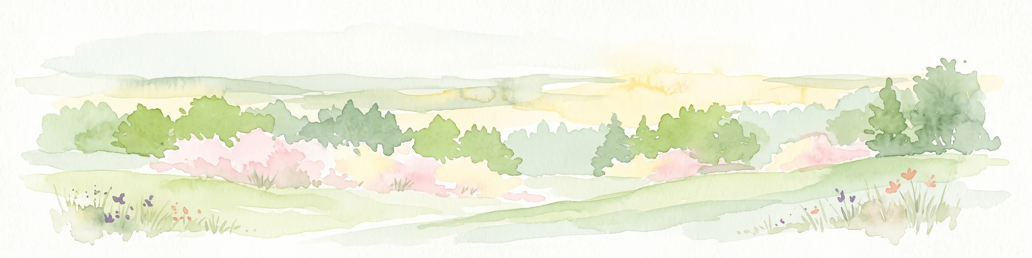
A soft watercolor painting of a rolling countryside landscape featuring green trees, pink flowering bushes, and a meadow under a bright, light-filled sky.
Nature reserveRhineland-Palatinate
About 23 km away#2 closest

East

Schönecker Schweiz Protected Area: An Atlas of the Eifel Limestone Basin Geography

Mapping the karst terrain, dolomite ridges, and submontane habitats of Rhineland-Palatinate.

Schönecker Schweiz stands as a defining example of the Prüm Kalkmulde, showcasing a dense network of steep slopes, plateau uplands, and narrow gorge valleys. This nature reserve serves as an essential refuge for rare calcareous flora and fauna, anchored by a geologically significant dolomite bedrock. The area is marked by striking landforms, including exposed rock faces, swallow holes, and stream meadows, which collectively provide a primary reference site for submontane limestone geography in western Germany.

Area
8.65 km²
Established
1991
Relief
Upland
Scope
Terrestrial
Nature reserveRhineland-Palatinate
About 29 km away#3 closest

Northeast

Niesenberg bei Weinsheim Nature Reserve: Geography and Protected Area Overview

Dolomite hill and calcareous grassland in Rhineland-Palatinate

Niesenberg bei Weinsheim is a protected nature reserve located in the Eifel region of Germany, centered on a distinct dolomite hill. The reserve protects a fine-grained mosaic of semi-natural dry grasslands and pine stands that contrast sharply with the surrounding slate uplands. Its unique soil chemistry supports a specialized array of flora, making it an essential point of study for understanding the biodiversity of the Prüm Limestone Basin.

Area
0.085 km²
Established
1985
Relief
Upland
Climate
Temperate
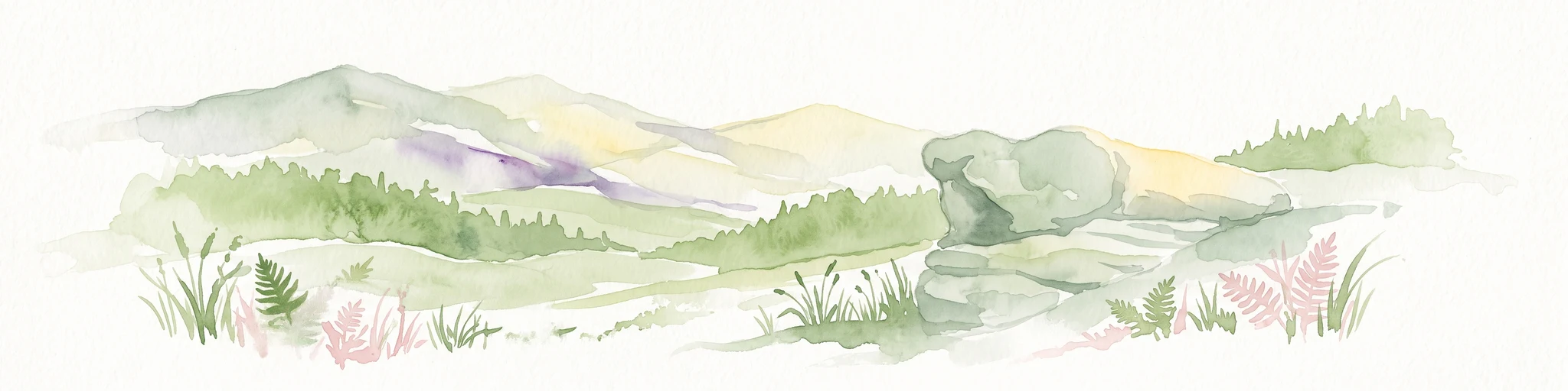
A soft watercolor illustration featuring distinctive sandstone rock formations in the foreground with rolling hills and a forested landscape in the distance.
Nature reserveNoumer
About 32 km away#4 closest

South

Eechelbuer-Lock: Protected Sandstone Plateau and Archaeological Landmark in Central Luxembourg

A unique nature reserve in the Noumer region with rare geological formations.

Eechelbuer-Lock serves as a vital protected landscape that blends geological oddity with archaeological depth. Located in Noumer, this sandstone plateau hosts the iconic Champignon rock and provides essential habitats for dry heath and juniper thickets. The site offers a clear view into central Luxembourg's protected geography, featuring a trapezoidal expanse where ancient stone carvings and prehistoric occupation sites remain preserved within the modern nature reserve boundaries.

Established
1972
Relief
Upland
Climate
Temperate
Scope
Terrestrial
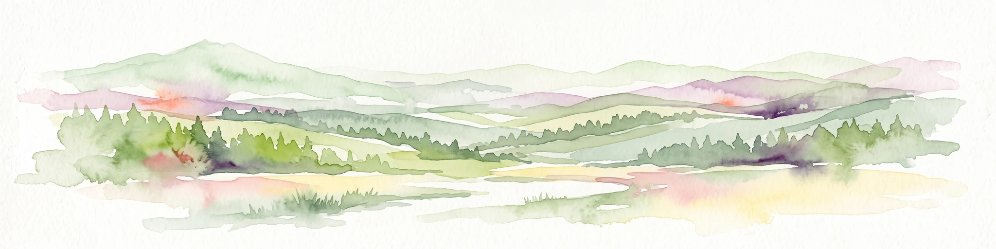
A soft watercolor painting of a rolling landscape with gentle hills, distant mountain ridges, and a foreground of trees and meadows.
Nature reserveNorth Rhine-Westphalia
About 39 km away#5 closest

Northeast

Lewertbach mit Nebenbächen Nature Reserve: A Detailed Geographic and Landscape Atlas Profile

Examining the Nordeifel stream system and protected pastoral habitats

Located in the Euskirchen district, Lewertbach mit Nebenbächen protects a diverse mosaic of naturally flowing brooks and hedgerow-structured pastures. The reserve functions as a key component of the regional FFH habitat network, showcasing the delicate balance between aquatic drainage lines and traditional lowland meadow landscapes across three distinct parcels.

Area
0.713 km²
Established
2001
IUCN
IV
Nature reserveNorth Rhine-Westphalia
About 43 km away#6 closest

Northeast

Simmeler Bach Nature Reserve: Geographic Atlas and Protected Landscape Overview

Riparian stream valleys and forest habitats in North Rhine-Westphalia

Simmeler Bach serves as a vital nature reserve and restored stream corridor in the Eifel district of Euskirchen. The protected area features a diverse landscape including open wet meadows, alder-lined brook banks, and rare mat-grass sward, all integrated into a wider regional network of conserved riparian habitats across western Germany.

Area
1.086 km²
Established
2001
Relief
Upland
Climate
Temperate
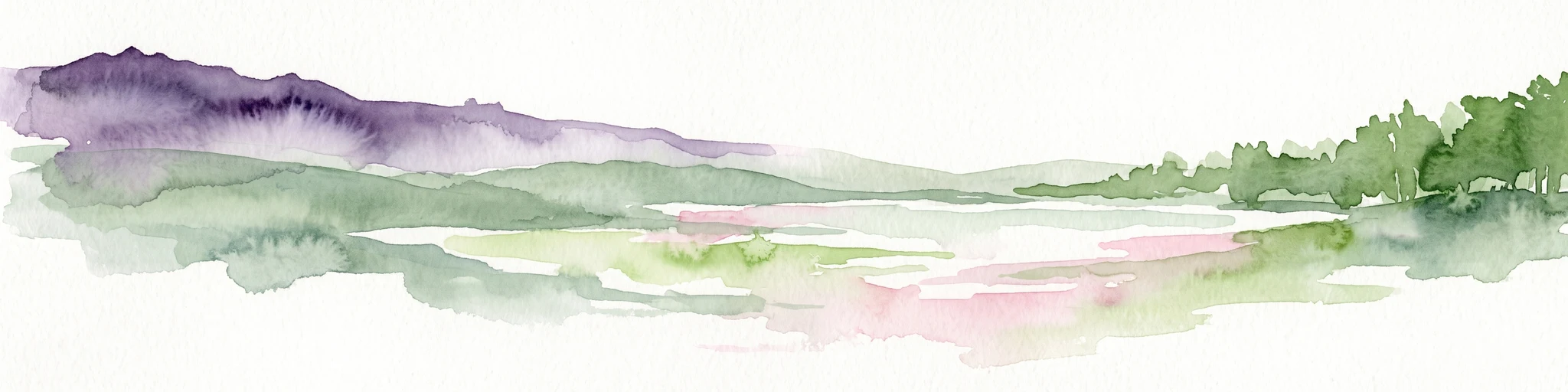
A horizontal watercolor painting depicting a calm lake surrounded by rolling hills and soft greenery, with a purple-toned ridgeline in the distance.
Nature reserveRheinland-Pfalz
About 45 km away#7 closest

East

Meerfelder Maar Nature Reserve: Volcanic Basin and Protected Eifel Landscape Mapping

Detailed volcanic crater geography and lake basin analysis

Discover the geological structure and protected habitats of Meerfelder Maar. This classic Eifel crater lake spans roughly 125 hectares, combining open water with fringing wetlands and forested slopes to create a unique natural landmark in Rheinland-Pfalz.

Area
2.6 km²
Established
1985
IUCN
IV
Relief
Upland
Protected landscapeProvince de Luxembourg
About 45 km away#8 closest

Southwest

Parc naturel de la Vallée de l'Attert: Geography and Protected Landscape Analysis

Mapping the rural bocage and river corridors of southeastern Belgium

Understand the landscape composition of Parc naturel de la Vallée de l'Attert, a protected area bridging the Ardennes and Lorraine regions. This analysis covers the park's semi-bocage structure, alluvial river corridors, and the ecological transition defined by its unique regional geography.

Area
70.95 km²
Established
1994
Relief
Mixed relief
Climate
Temperate

Common questions about visiting, size, designation, and location context for Mittleres Ourtal zwischen Dreiländereck und Rellesmühle

Mittleres Ourtal zwischen Dreiländereck und Rellesmühle FAQs for park facts, access, geography, and protected area context

Find quick answers about Mittleres Ourtal zwischen Dreiländereck und Rellesmühle, including protected-area facts, park geography, trail and visitor context, and how the park fits into its surrounding country and regional landscape.
MoriAtlas Explorer

Continue Your Protected Areas Search Across the Global Atlas

Deepen your exploration by continuing the structured search for national parks and protected areas worldwide. Utilize the comprehensive filtering capabilities to compare different conservation landscapes and refine your understanding of global park geography. Discover more about the distribution and characteristics of protected natural areas.

Global natural geography