
Tracing the glacial terrain, coastal zones, and ancient earthworks across this protected Danish landscape.
Documented Natural Features and Geographic Landmarks of Mols Bjerge National Park
This collection catalogs the distinct named natural features and topographical points of interest associated with Mols Bjerge National Park. Users can identify specific landforms, from rolling glacial hills and heathland ridges to dramatic coastal cliffs along the Kattegat sea, alongside notable Bronze Age barrows and historical monuments integrated into the terrain. The record provides a spatial perspective on the park, mapping the natural and cultural features that define the regional geography of the Djursland peninsula.
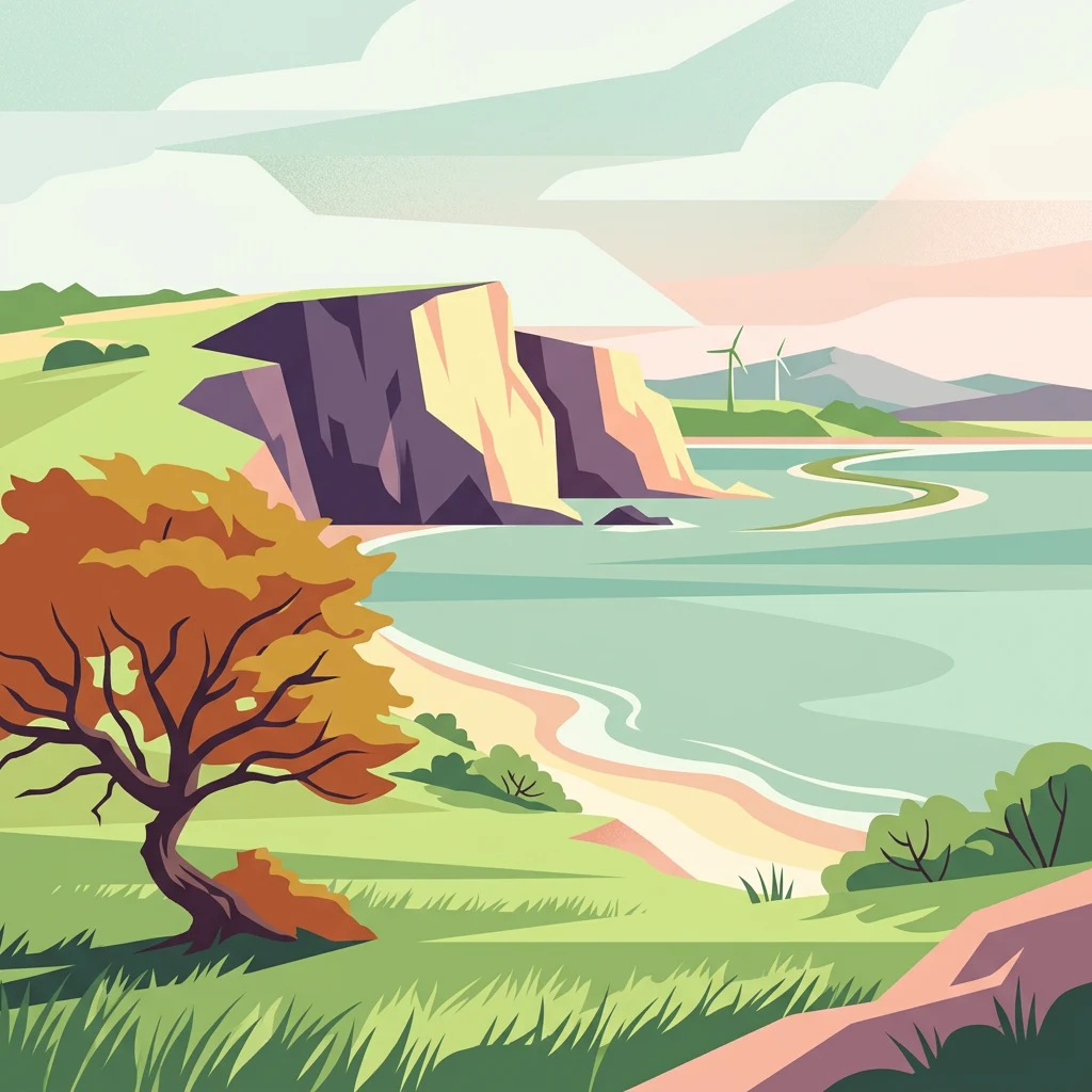
Read Mols Bjerge National Park through hills, woodland, grassland, and coast
Upland hill, woodland, grassland, coast, and cliff records in Mols Bjerge National Park
Coastal landforms and shoreline enclosures
Bays
Discover the specific bays associated with Mols Bjerge National Park. This collection maps the diverse shoreline recesses formed by coastal and glacial processes, offering a clearer understanding of the park relationship with the Kattegat sea and its surrounding protected landscape.
Coastal projections within the Danish landscape
Peninsulas
Browse the collection of identified peninsula features associated with Mols Bjerge National Park. This geographic mapping focuses on the land-water configurations that define the park coastline and influence the regional landscape of Central Jutland.
Mapped inland water features in Central Jutland
Lakes
Explore the collection of named lakes found within the boundaries and immediate vicinity of Mols Bjerge National Park. These inland basins are vital components of the park's glacial terrain, offering a clearer view of the water distribution and landscape structure across the Djursland peninsula.
Topographic map data for protected park summits
Peaks
Discover the named peaks and elevated landforms located within the boundaries of Mols Bjerge National Park. This geographic collection offers specific data on the summit features that shape the park, illustrating how these high points interact with the broader glacial heath and coastal terrain of Central Jutland.
Continue Exploring the Protected Landscapes of Mols Bjerge National Park
Dive into the map-based terrain of Mols Bjerge National Park to understand its glacial formations, coastal ecosystems, and archaeological significance. This MoriAtlas entry provides a structured look at the geography and protected boundaries that define this essential Danish natural area.