
Why Mönchesrieth bei Grebendorf stands out
Mönchesrieth bei Grebendorf is best known as a protected former gravel pit that has been transformed into a quiet waterbird refuge along the Werra river. Its artificially created lake, shallow bays, and naturally developing shoreline vegetation combine to form a small but ecologically valuable wetland within an intensively used agricultural and river landscape. The reserve is also notable for its role within a wider network of protected Werra gravel-pit lakes, each planned to provide undisturbed habitat in a floodplain where many other waters have lost their birdlife due to recreational development. This deliberate balance of protection and habitat creation defines the site's identity.
Mönchesrieth bei Grebendorf history and protected-area timeline
During the 1990s, planners recognized that abandoned gravel pits in the Werra valley had high value for bird conservation and for plant and animal species adapted to nutrient-poor conditions. The site at Mönchesrieth lay in the Werra floodplain and was seen as a potential refuge at a time when other local lakes were losing their waterbird populations due to recreational development. In 1990, the area received a first protective designation as a provisional regeneration area, even while gravel extraction on parts of the site was still ongoing.
Extraction eventually ceased, leaving behind a large artificial lake surrounded by uncultivated edges and an embankment. Once mining stopped, the reserve's managers reshaped the shoreline to create more natural-looking shallow bays, allowed vegetation along the banks to develop through natural succession, and planted a thorny barrier along the southern boundary to deter disturbance. On 12 October 1999, the Regierungspräsidium in Kassel formally designated the remaining waterbody and its banks as a nature reserve. Its stated objective was to safeguard the area as breeding, resting, wintering, and foraging habitat for threatened bird species and to preserve the shoreline habitats of endangered plants and animals with minimal disturbance.
Mönchesrieth bei Grebendorf landscape and geographic character
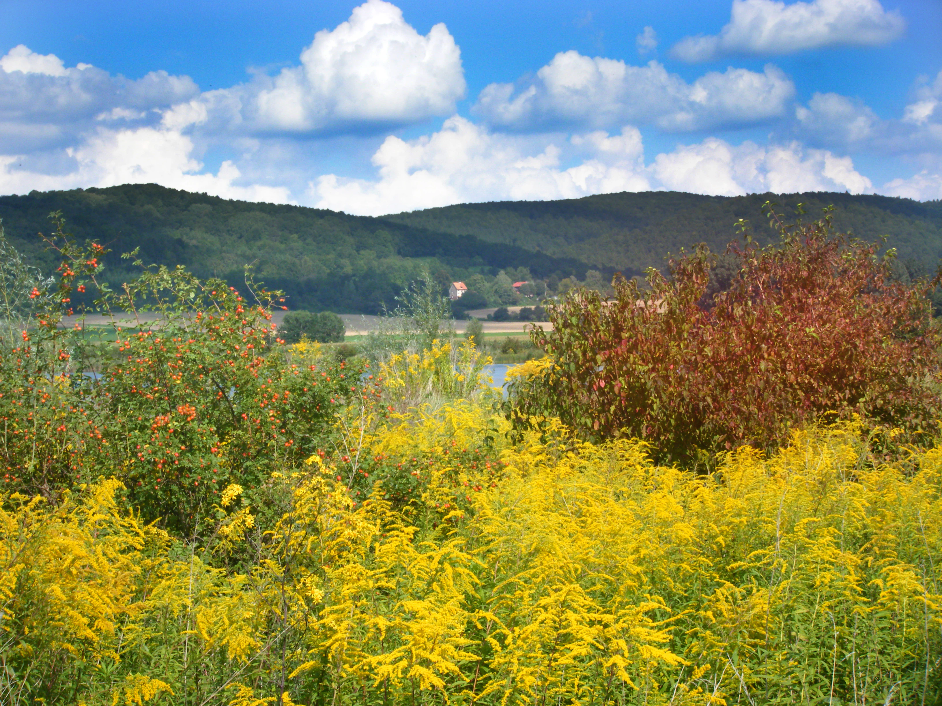
Mönchesrieth lies on the floor of the Eschweger Becken within the broader Unteres Werrabergland, a landscape of river lowlands and surrounding hills in eastern Hesse. The reserve's terrain is flat and shaped by the geological legacy of the Werra river system, with an open floodplain extending toward the river and low hill slopes rising beyond.
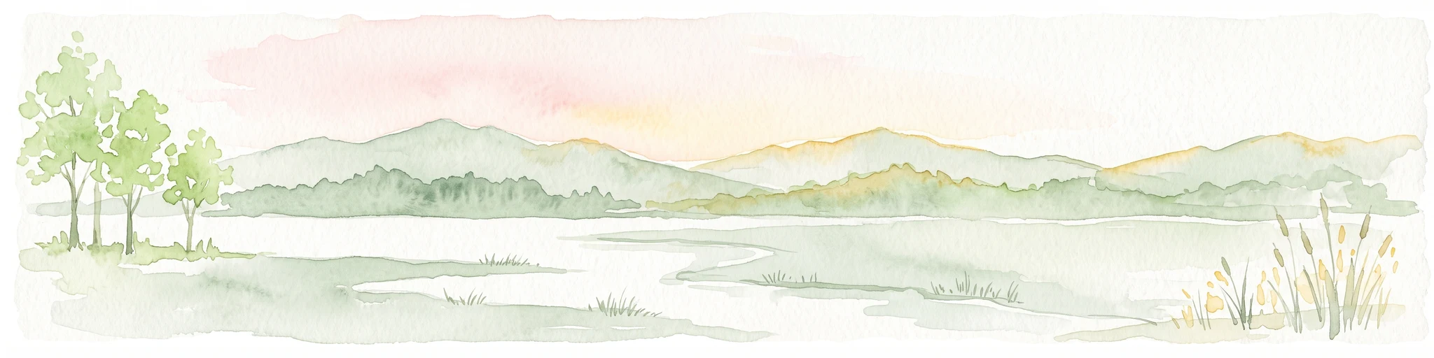
Within the reserve, the dominant landform is the artificial lake itself and its deliberately varied shoreline. Shallow bays and coves break up the water's edge, while flat floodplain margins and a raised embankment along the south create transitions between open water, damp shore vegetation, and drier disturbed ground. Surrounding the reserve are arable fields, a working gravel quarry immediately to the west, and transport corridors including the B 249 federal road and the Werratal cycle route along the southern boundary. Together, these features create a small, clearly defined wetland pocket set within a mixed rural landscape.
Mönchesrieth bei Grebendorf ecosystems, habitats, and plant life
The reserve's ecological character centers on an artificial lake and its closely managed banks, which together replicate many features of a natural waterbody. Open water is fringed by shallow bays that provide sheltered feeding and resting areas, while the surrounding shoreline has been allowed to develop through natural ecological succession. This combination of water, damp edges, regenerating scrub, and disturbed-ground vegetation supports a habitat mosaic typical of reclaimed gravel pits.
Mönchesrieth belongs to the Schwebda-Jestädter Werraaue natural area, and its vegetation reflects both the nutrient-poor, sandy, and gravelly conditions common to former extraction sites and the more fertile floodplain soils of the Werra corridor. The southern embankment is reinforced by a deliberate planting of thorny species, which acts as both a habitat feature and a barrier against disturbance. Surrounding farmland and the proximity of the Werra itself place the reserve within a wider floodplain ecosystem, and its protected status helps maintain continuity between the river and its smaller off-channel waterbodies.
Mönchesrieth bei Grebendorf wildlife and species highlights
The reserve's principal wildlife value lies in its importance for waterbirds. The lake and its shallow shorelines provide breeding, resting, wintering, and foraging habitat for threatened bird species associated with open water and damp margins. Its deliberately quiet character is intended to keep disturbance low enough to sustain sensitive breeding and roosting populations.
Beyond its birdlife focus, Mönchesrieth also supports plant and animal communities adapted to the nutrient-poor, disturbed conditions typical of former gravel pits. Shallow water, regenerating shoreline vegetation, and the thorny embankment plantings collectively provide niches for species that favor such transitional habitats. The site's role as one of several protected Werra gravel-pit lakes makes it a small but important island of habitat in a floodplain where many other waters have lost their wildlife interest.
Mönchesrieth bei Grebendorf conservation status and protection priorities
Mönchesrieth bei Grebendorf is protected for the specific conservation goal of preserving the lake and its banks as a refuge for threatened birdlife and other wetland species in the Werra valley. The site's story reflects a broader conservation strategy: recognizing that abandoned gravel pits, if managed correctly, can be transformed into valuable habitat in regions where natural wetlands are scarce. By formally designating the area as a nature reserve, the regional authorities secured long-term protection for a landscape that began as an industrial site.
The reserve is officially classified in the IUCN system as a Category IV habitat and species management area, reflecting its targeted role in protecting particular species and habitats rather than large-scale natural landscapes. Its conservation design is built on minimizing disturbance: the shoreline has been shaped into sheltered bays, surrounding vegetation has been allowed to develop naturally, and thorny barrier plantings restrict access. Its position within the Geo-Naturpark Frau-Holle-Land and within a network of protected Werra gravel-pit lakes reinforces its importance as part of a larger floodplain conservation system.
Mönchesrieth bei Grebendorf cultural meaning and human context
The site's cultural context is closely tied to the working river landscape of the Werra valley, where gravel extraction has long been part of the regional economy. Mönchesrieth reflects a modern conservation outlook that reuses the physical legacy of that industry, including quarries, embankments, and access tracks, and reinterprets them as wildlife habitat rather than discarding them after extraction ends.
The reserve also sits within an actively used rural environment, bordered by farmland, a working quarry, and transport routes including the B 249 and the Werratal cycle route (Werratal-Radweg). This integration of a quiet ecological refuge within an ordinary working landscape, rather than setting it apart as a remote wilderness, is an important part of the site's cultural and regional character.
Top sights and standout views in Mönchesrieth bei Grebendorf
Mönchesrieth's most distinctive highlight is its transformation from an active gravel pit into a deliberately quiet waterbird refuge, complete with reshaped shallow bays and naturally developing shoreline vegetation. Its location in the Werra floodplain places it within a network of similar protected sites, and its design demonstrates how small artificial waterbodies can become meaningful wetland habitat when managed for minimal disturbance.
Another notable point is the reserve's role as an accessible but protected landscape feature, with the Werratal cycle route running along its southern boundary at a respectful distance. This arrangement makes the site a subtle but recognized landmark in a popular recreational corridor, contributing to the broader identity of the Geo-Naturpark Frau-Holle-Land.
Best time to visit Mönchesrieth bei Grebendorf
As a reserved quiet zone where entry is not permitted, Mönchesrieth is best appreciated from its surrounding paths rather than visited at any single optimal season. Late winter and early spring are traditionally important periods for waterbirds in such Werra valley sites, when migratory and wintering species gather on the open water. Spring and summer bring active breeding seasons and more visible activity along the sheltered shoreline bays, while autumn sees seasonal turnover in waterbird use as birds move through the floodplain.
The Werratal-Radweg along the southern boundary offers year-round passage, and the calm, floodplain-level terrain means the reserve can easily be approached in any season. Because the area is intended to remain undisturbed, the most rewarding visit is one that favors quiet observation from the perimeter rather than entering the protected zone itself.