
Tracing the dramatic river confluence, crags, and Mediterranean habitats of this protected landscape
Named Natural Features and Geographic Landmarks within Monfragüe National Park, Spain
This collection inventories the named geological and hydrological features associated with Monfragüe National Park. Discover the structural character of the region through its towering river cliffs, deep valleys, and expansive oak woodlands that define the Mediterranean ecosystem. Each entry clarifies the geographic relationship of these landforms to the park boundaries and the broader topography of the Extremadura region.
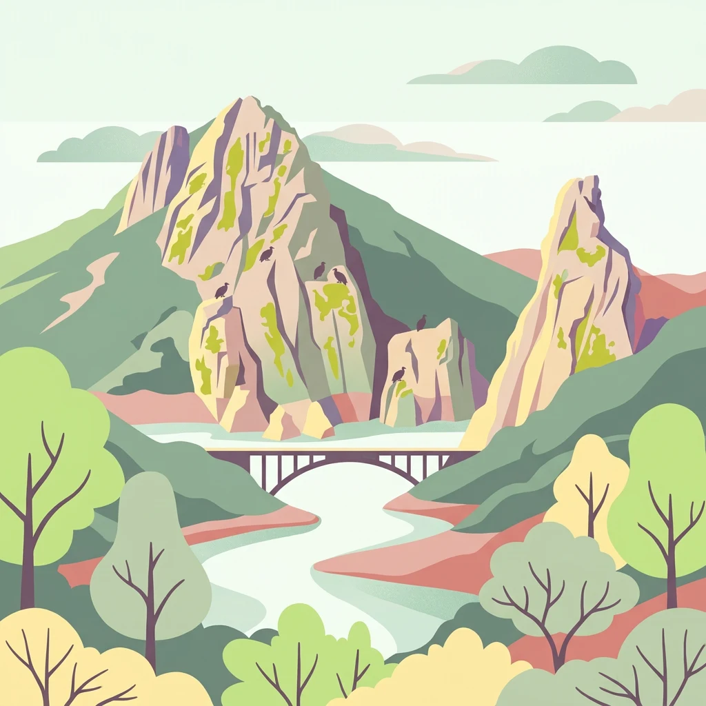
Connect Monfragüe National Park records with mountain valleys, cliffs, and woodland
Mountain, cliff, valley, forest, and woodland records in Monfragüe National Park
Geography of fluvial channels and valley networks
Rivers
Investigate the complex network of rivers and watercourses that cut through Monfragüe National Park. This geographic overview highlights the Tagus and Tiétar river segments that define the valley terrain, mountain ridges, and rocky cliff structures within this Spanish protected area.
Continue Exploring Monfragüe National Park's Mapped Geography and Protected Landscape Identity
Delve deeper into the specific geography and protected landscape of Monfragüe National Park within the Extremadura region. Understanding its unique terrain, mapped boundaries, and role as a vital avian habitat provides crucial context for appreciating this significant protected area. Use MoriAtlas to connect this park's specific natural characteristics with its broader regional and national geographic setting.