
Examining the plateau topography, river corridors, and waterfall systems defining this protected landscape.
Named Natural Features and Geological Landscapes of Morton National Park in New South Wales
This collection catalogs the named natural features associated with Morton National Park, spanning the vast sandstone plateaus, deep gorges, and rainforest gullies of the Southern Highlands. Beyond the primary park boundaries, this index maps hydrological systems like the Shoalhaven River and prominent geological landmarks like Mount Tianjara. Each entry provides geographic context for understanding the complex terrain and eroded valley systems characterizing this New South Wales region.
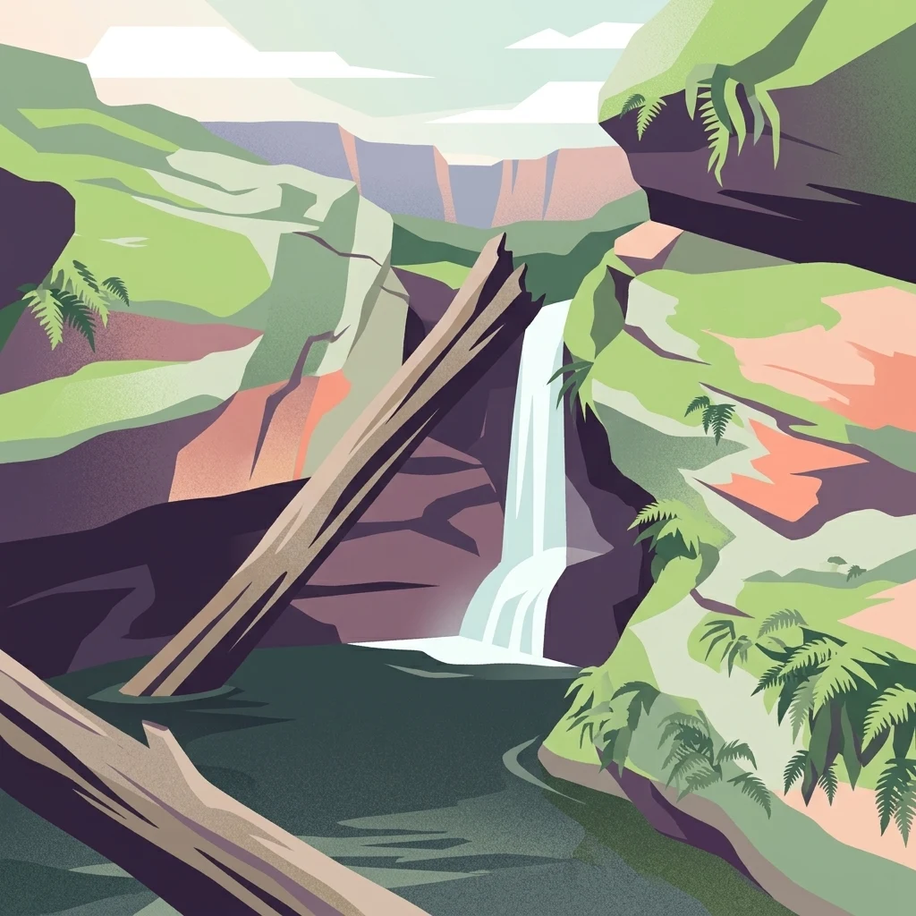
Mapping the diverse sandstone plateaus, deep gorges, and key waterways of the Southern Highlands
Mapped Natural Features and Geographic Landmarks of Morton National Park
Geologic terrain and elevated ridge mapping
Mountain ranges
Discover the mountain range formations that intersect Morton National Park. This geographic overview highlights the spatial relationship between elevated highland systems and the surrounding plateau, providing a structured look at the regional terrain and geologic orientation of the park.
Topographic map data for protected high points
Peaks
An organized exploration of the named peaks and summit features within Morton National Park. This geographic resource details the location and elevation of these landmarks, which characterize the sandstone plateau and dissected terrain of this significant Australian protected area.
Hydrological terrain and regional water networks
Rivers
Browse the collection of river features traversing Morton National Park. This resource details the natural watercourses that define the park plateau and gorge topography, helping to visualize the hydrological connectivity within this protected Australian landscape.
Plateau and gorge descent analysis
Waterfalls
Trace the locations and landscape context of waterfalls across Morton National Park. This geographic overview examines how regional river systems interact with resistant rock layers and cliff edges, providing a structured understanding of the park's vertical drainage patterns and terrain evolution.
Continue Exploring Morton National Park's Geographic Features and Mapped Landscapes
Deepen your understanding of Morton National Park by delving into its specific geographic context and protected landscape characteristics. Discover the mapped terrain, regional significance, and natural features that define this important national park within New South Wales. Continuing your exploration here offers structured insight into its unique atlas presence and the natural heritage it preserves for geographic discovery.