
Mori Atlas logo
Park earthquake history

Review documented seismic occurrences associated with the Front Range alpine wilderness terrain.

Mount Evans Wilderness Historical Earthquake Catalogue and Recorded Seismic Activity Data

This collection presents a structured historical record of earthquakes documented within proximity to the Mount Evans Wilderness in Colorado. Each entry provides event details including occurrence date, magnitude, and precise epicentre distance relative to the wilderness boundaries. The catalogue offers a factual view of regional seismic history as logged through authoritative geological data, supporting focused exploration of past activity within this high alpine protected landscape.

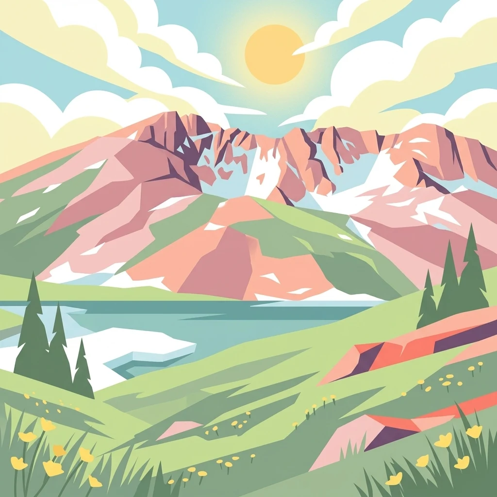
A colorful digital illustration showing a mountain range with pink and white snow patches, a blue lake, green grassy hills with yellow flowers, and pine trees under a sunny sky.

An alpine wilderness in the Colorado Rockies anchored by one of the highest peaks in the Front Range.

Mount Evans Wilderness

Mount Evans Wilderness is a federally designated U.S. Wilderness Area in central Colorado, located roughly thirty miles west of Denver in the heart of the Front Range. The wilderness straddles portions of Arapaho National Forest and Pike National Forest, spanning Clear Creek County and Park County and covering about seventy-four thousand acres of rugged alpine and subalpine terrain. It is named after the former name of Mount Blue Sky, the dominant fourteener that defines the area's skyline, along with the iconic Summit Lake below its summit. The landscape of the wilderness is shaped by glacial action, with deep cirques, sheer cliffs, alpine lakes, and sweeping tundra plateaus that give the area a strikingly high-country character. Elevations rise well above tree line, and the wilderness preserves a continuous gradient from montane forest to exposed alpine ecosystems. This combination of accessibility from a major metropolitan area and genuinely wild terrain makes the Mount Evans Wilderness one of the most recognizable high-elevation protected landscapes in the American Rockies. Ecologically, the wilderness protects important habitat for high-altitude wildlife and a range of sensitive plant communities adapted to harsh mountain conditions. As an officially designated Wilderness Area under the U.S. Wilderness system, it also serves as a reference point for the broader conservation of Colorado's Front Range landscapes.

Location
United States of America
Park type
Protected area
Established
1980
Area
301.1 km²
Mount Evans Wilderness Protected Area Map

Compare Mount Evans Wilderness events by date and distance

Explore historical earthquake records around Mount Evans Wilderness

Search the historical seismic catalogue near Mount Evans Wilderness, a 301.09 km² terrestrial mountain area in the United States; Coordinate-based distance is shown beside each event's date, magnitude, depth, locality, and source. The wilderness is a geographic reference only: nearby epicentres are not boundary records and do not establish effects on mountains and lakes, current danger, or future activity.

Sort by
Magnitude
Location

This page describes catalogued earthquakes associated with the park by epicentre location and distance. It does not establish causation, assess current danger, or predict future earthquakes.

No earthquake records match the current filters

Park atlas

Continue outward from the Mount Evans earthquake catalogue

Browse other protected places after Mount Evans Wilderness

Following Mount Evans Wilderness earthquake history, the atlas introduces an independent group of other protected destinations. They are not asserted to share mountains, wilderness designation, landscape, geography, geology, location, earthquake data, seismic significance, hazards, risk, or the same depth of source coverage.
A soft watercolor illustration depicting a simplified, layered landscape of rolling hills and distant mountains in shades of light green, pale yellow, and soft pink.
Protected areaColorado
Park boundaries overlap#1 closest

Southeast

Pike National Forest: Protected Mountain Landscapes and Regional Geography in Central Colorado

Granite peaks, montane forests, and diverse alpine terrain

Spanning from the rolling foothills of the Front Range to the high alpine summits of the Rocky Mountains, Pike National Forest is a significant protected area defined by its unique Pikes Peak granite bedrock and deep river-carved canyons. This analysis provides a structured look at its expansive wilderness boundaries, drainage basins, and the vertical transitions that characterize this vital central Colorado highland.

Area
4,478.27 km²
Established
1892
Relief
Mountain
Climate
Alpine
Protected landscapeColorado
Mapped location lies within the park boundary#2 closest

West

White River National Forest: Mapping the Protected Landscapes and High Country of Central Colorado

Regional geography, wilderness boundaries, and mountain terrain data

Spanning from the high alpine tundra of the Sawatch Range to the volcanic plateaus of the Flat Tops, White River National Forest represents a significant protected area in the American West. This detail presents the geographic footprint, forest landscape, and complex mountain terrain that define this vital Colorado territory.

Area
9,251 km²
Established
1902
Relief
Mountain
Climate
Alpine
A horizontal watercolor painting showing a range of purple and reddish-toned mountains in the distance, behind rolling green fields and a pale pinkish waterway in the foreground.
Protected landscapeColorado
20 km away#3 closest

North

Roosevelt National Forest: Mapping Wilderness and Protected Landscapes in Northern Colorado

Regional geography, river corridors, and alpine mountain terrain

Roosevelt National Forest encompasses a significant protected landscape across Larimer, Boulder, Gilpin, and Jefferson counties. The forest features a complex terrain of deep canyons, forested plateaus, and protected wilderness areas that form a scenic buffer along the eastern side of the Continental Divide and Rocky Mountain National Park.

Area
3,293.33 km²
Established
1902
Relief
Mountain
Climate
Subpolar
A watercolor painting showing a panoramic view of mountain peaks in the background behind a forest landscape, set against a white background.
Wildlife reserveColorado
About 21 km away#4 closest

North

James Peak Wilderness: Geographic Profile and Protected Landscape Mapping

High elevation terrain in the Colorado Rockies

James Peak Wilderness provides a critical protected landscape featuring dramatic alpine summits, U-shaped glacial valleys, and subalpine meadows. Its geographic structure forms an essential ecological link along the Colorado Front Range, characterized by high-elevation peaks, dense coniferous forests, and diverse tundra ecosystems situated immediately east of the Continental Divide.

Area
68.86 km²
Established
2002
IUCN
Ib
Watercolor painting of reddish granite rock outcrops surrounded by green forest and distant hazy mountain ridges.
Wildlife reserveColorado
About 24 km away#5 closest

South

Lost Creek Wilderness: A Mapped Atlas of Granite Formations and Protected Colorado Terrain

Exploratory mapping of central Colorado mountain foothills

Lost Creek Wilderness represents a significant protected corridor within the Pike National Forest of Colorado. The region is characterized by an unusual density of granite spires, arches, and domes, providing a distinct contrast to typical alpine landscapes. By examining the mapped boundaries and natural features of this wildlife reserve, users can better understand the unique hydrographic and geological systems that define this notable section of the Rocky Mountains.

Area
484.8 km²
Established
1980
IUCN
Ib
Relief
Mountain
A watercolor painting of a mountain landscape featuring a small lake, grassy slopes, and conifer trees with a prominent rocky peak in the distance.
Wildlife reserveColorado
29 km away#6 closest

North

Indian Peaks Wilderness: Alpine Geography and Front Range Protected Landscapes

Mapping high country summits and glacial basins in Colorado

Indian Peaks Wilderness stands as a signature wildlife reserve along the Colorado Continental Divide. This atlas entry focuses on its complex system of thirteen-thousand-foot peaks, relict glaciers, and interconnected alpine lakes that define the Front Range. Gain insight into the protected boundaries and glacial geomorphology that characterize this high-country landscape near the Denver metropolitan region.

Area
310.44 km²
Established
1978
IUCN
Ib
Relief
Mountain
Wildlife reserveColorado
32 km away#7 closest

West

Eagles Nest Wilderness: Alpine Geography and Protected Landscape of the Colorado Gore Range

High-mountain protected area in the White River National Forest

Spanning the southern Gore Range, Eagles Nest Wilderness represents a core protected landscape in Colorado characterized by high-elevation peaks, glacial cirque lakes, and extensive backcountry trail networks. Its geography bridges the gap between deep coniferous forests and exposed alpine tundra, maintaining significant ecological and historical value within the mountainous terrain of Eagle and Summit Counties.

Area
546.79 km²
Established
1976
IUCN
Ib
Relief
Mountain
Protected landscapeGrand County
37 km away#8 closest

North

Arapaho National Recreation Area: Geographic Profile and Protected Landscape Context

High-country mountain reservoirs and forested mountain terrain

The Arapaho National Recreation Area defines a unique intersection of montane forest and water-based geography in Grand County, Colorado. As the home to the Great Lakes of Colorado, this protected landscape provides a critical connection point between the Colorado River headwaters and the Continental Divide. Examine the park's terrain, reservoir distribution, and its role as a forested gateway to the neighboring mountain regions.

Area
124.2 km²
Established
1978
Relief
Mountain
Climate
Alpine
MoriAtlas Explorer

Continue Exploring the Protected Geography of Mount Evans Wilderness

Deepen your understanding of Mount Evans Wilderness by reviewing its mapped boundaries and high-country topography. This entry provides essential geographic context for one of Colorado's most significant alpine protected areas, serving as a structured resource for those researching the Front Range landscape within the MoriAtlas framework.