
Mori Atlas logo
Park guides

Explore thematic insights into the volcanic landscape and diverse natural environments

Comprehensive Guide Collection for Mount Kaputar National Park in New South Wales

Access focused information regarding the ancient volcanic remnants and subalpine habitats within Mount Kaputar National Park. This collection provides detailed context on the best times to visit and the ecological nuances of the Nandewar Range to support planning and geographic understanding.

Related tags

Volcanic landscapeSubalpine environmentMountain wildernessEndemic speciesNew South Wales national parks

Ancient volcanic peaks and subalpine wilderness in inland New South Wales

Mount Kaputar National Park

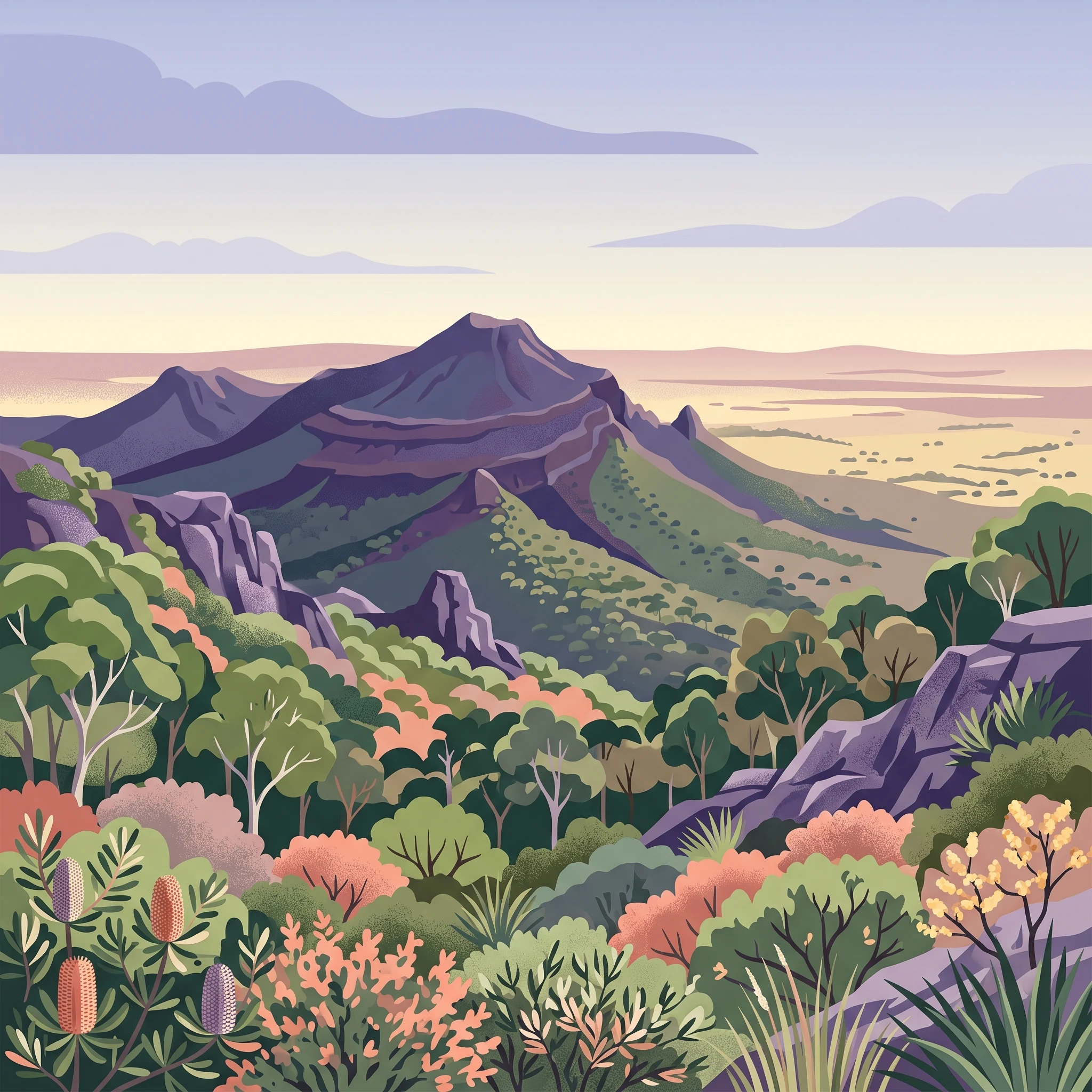
Mount Kaputar National Park occupies a unique position in Australia's protected area network as a mountain wilderness enclave within the semi-arid inland plains of northern New South Wales. The park's geological foundation lies in the Nandewar Range, a volcanic mountain system that formed between 17 and 21 million years ago when lava flows and volcanic eruptions built a substantial mountain mass. Over subsequent millions of years, erosional forces have carved the original volcanic structure into the dramatic landscape seen today, characterized by steep lava terraces, towering volcanic plugs, and linear dyke formations that create a visually striking terrain distinct from the surrounding pastoral lands. The ecological significance of Mount Kaputar derives from the dramatic altitudinal gradient that exists within the park, spanning from semi-arid woodland communities at lower elevations through diverse eucalypt forests to subalpine heath communities near the summit. This range of habitats supports an unexpected diversity of wildlife in what might appear to be a marginal environment. The park provides crucial refuge for species adapted to cooler high-altitude conditions in an otherwise warm, dry region, creating what ecologists recognize as a significant island of cooler-climate habitat surrounded by warmer lowland environments. The human history of the Mount Kaputar region extends back thousands of years, though European settlement saw the area used primarily for grazing livestock from the mid-nineteenth century until the mid-twentieth century. Remnants of those more recent pastoral endeavors, including the restored Scutt's Hut, remain as historical points of interest within the park today.

Location
Australia
Park type
National park
Established
1959
Area
502.3 km²
Highest point
1,510 m
Mount Kaputar National Park Atlas
1 guide

Explore topic-led resources covering seasonal planning and environmental conditions

Mount Kaputar National Park Published Guide Collection

Browse published guides addressing specific timing decisions and environmental factors for Mount Kaputar National Park. Compare dedicated resources covering shoulder season weather patterns and endemic species conditions to plan targeted park visits.
MoriAtlas Explorer

Continue Exploring Mount Kaputar National Park's Geographic and Landscape Context

Delve deeper into the mapped terrain and protected-area specifics of Mount Kaputar National Park. Understanding this unique volcanic landscape provides valuable context for New South Wales's broader geography and protected lands network. Discover how its geological past shapes its present ecological diversity through structured geographic data and atlas exploration.

Global natural geography